Duke's Rough

Wood, Forest in Sussex Horsham

England

Duke's Rough

Entering Storrington, A283 The A283 runs 37 miles from Milford near Guildford south to Shoreham-on-Sea across rural Surrey and West Sussex.
<span class="nowrap"><a title="https://www.sabre-roads.org.uk/wiki/index.php?title=A283" rel="nofollow ugc noopener" href="https://www.sabre-roads.org.uk/wiki/index.php?title=A283">Link</a><img style="margin-left:2px;" alt="External link" title="External link - shift click to open in new window" src="https://s1.geograph.org.uk/img/external.png" width="10" height="10"/></span>
Entering Storrington, A283 Credit: N Chadwick

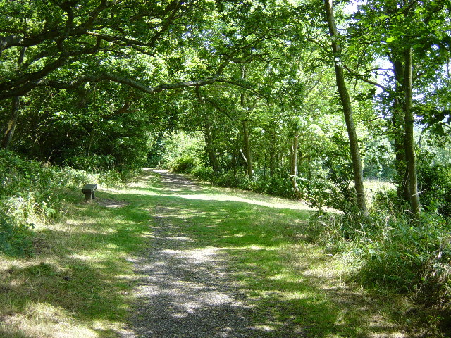
Duke's Rough is a picturesque woodland area located in the county of Sussex, England. Situated in the heart of the Sussex Weald, this stunning forest covers an expansive area of approximately 800 acres. The woodland is known for its rugged and untouched beauty, making it a popular destination for nature enthusiasts and outdoor adventurers.

The forest is characterized by a diverse range of tree species, including oak, beech, and chestnut, which create a dense canopy that filters the sunlight and casts a magical ambiance over the forest floor. The woodland is also home to an array of wildlife, such as deer, foxes, badgers, and a variety of bird species, making it a haven for nature lovers and wildlife photographers.

Duke's Rough offers visitors a network of well-maintained trails, allowing them to explore the forest at their own pace. These trails wind through the ancient woodland, passing by babbling brooks, tranquil ponds, and occasional clearings that offer breathtaking views of the surrounding countryside. The forest is particularly renowned for its bluebell displays in the spring, when the forest floor is carpeted with a sea of vibrant blue flowers.

In addition to its natural beauty, Duke's Rough also holds historical significance. The woodland is believed to have been used for timber production during the medieval period, and remnants of charcoal burners' platforms can still be found in certain areas of the forest. These historical remnants add to the charm and intrigue of the woodland, providing a glimpse into its past.

Overall, Duke's Rough in Sussex is a captivating woodland that offers a tranquil escape from the hustle and bustle of modern life. With its diverse flora and fauna, scenic trails, and rich history, this forest truly has something for everyone to enjoy.

If you have any feedback on the listing, please let us know in the comments section below.

Duke's Rough Images

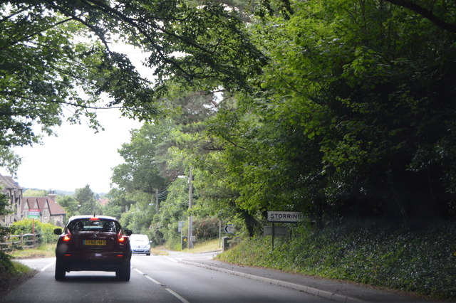
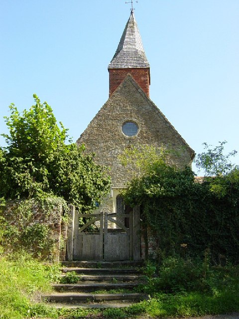
Images are sourced within 2km of 50.927354/-0.42301351 or Grid Reference TQ1015. Thanks to Geograph Open Source API. All images are credited.

Entering Storrington, A283 The A283 runs 37 miles from Milford near Guildford south to Shoreham-on-Sea across rural Surrey and West Sussex.
<span class="nowrap"><a title="https://www.sabre-roads.org.uk/wiki/index.php?title=A283" rel="nofollow ugc noopener" href="https://www.sabre-roads.org.uk/wiki/index.php?title=A283">Link</a><img style="margin-left:2px;" alt="External link" title="External link - shift click to open in new window" src="https://s1.geograph.org.uk/img/external.png" width="10" height="10"/></span>
Entering Storrington, A283
The A283 runs 37 miles from Milford near Guildford south to Shoreham-on-Sea across rural Surrey and West Sussex. LinkExternal link
Washington Common
Washington Common
The Old Mill Once a family owned water mill this is now a hotel.
The Old Mill
Once a family owned water mill this is now a hotel.
St Mary's Church, Thakeham A church was first mentioned here in 1086. Since then it has been altered and extended.
St Mary's Church, Thakeham
A church was first mentioned here in 1086. Since then it has been altered and extended.
Holy Sepulchre Church, Warminghurst Dating from the 12th century this church held its last service in 1979. It is maintained by the Church Conservation Trust and is open to visitors during the week.
Holy Sepulchre Church, Warminghurst
Dating from the 12th century this church held its last service in 1979. It is maintained by the Church Conservation Trust and is open to visitors during the week.
East of Sullington Farmland East of Sullington
East of Sullington
Farmland East of Sullington
Shoots Garden Centre Situated just off the A24 at Washington, north of Worthing. In a square devoid of features, this modern garden centre and a nearby row of modern business premises are the only points of note.
Shoots Garden Centre
Situated just off the A24 at Washington, north of Worthing. In a square devoid of features, this modern garden centre and a nearby row of modern business premises are the only points of note.
East Storrington Looking North - Farm near Heath Common
East Storrington
Looking North - Farm near Heath Common
Heath Common
Heath Common
Fields near Great Dene Farm Taken from the B2139 south of Jackett's Hill.
Fields near Great Dene Farm
Taken from the B2139 south of Jackett's Hill.
Entrance to Mutton's Farm Seen from the junction of Rock Lane and Mutton's Lane. Footpath 2622 follows the road through the farm before zig-zagging across the fields to the old Worthing Road.
Entrance to Mutton's Farm
Seen from the junction of Rock Lane and Mutton's Lane. Footpath 2622 follows the road through the farm before zig-zagging across the fields to the old Worthing Road.
Newhouse Farm Seen from Newhouse Lane.
Newhouse Farm
Seen from Newhouse Lane.
Junction of Mutton's Lane, Newhouse Lane and Park Lane Seen from Mutton's Lane Newhouse Lane is to the right and Park Lane to the left.
Junction of Mutton's Lane, Newhouse Lane and Park Lane
Seen from Mutton's Lane Newhouse Lane is to the right and Park Lane to the left.
Enormous fungi Seen in a ditch in Mutton's Lane at <a href="https://www.geograph.org.uk/photo/266620">TQ1115 : Junction of Mutton's Lane, Newhouse Lane and Park Lane</a>. The caps were about 30cm across with stems of 5cm diameter. There were over a dozen of these monsters in various states of decay.
Enormous fungi
Seen in a ditch in Mutton's Lane at TQ1115 : Junction of Mutton's Lane, Newhouse Lane and Park Lane. The caps were about 30cm across with stems of 5cm diameter. There were over a dozen of these monsters in various states of decay.
The White Lion public house In The Street in the picturesque village of Thakeham.
The White Lion public house
In The Street in the picturesque village of Thakeham.
Thakeham First School Seen from The Street.
Thakeham First School
Seen from The Street.
St Marys Church The existence of a church on this site was first recorded in 1086 but the dates of first consecration and construction are unknown. The earliest parts of the existing structure are believed to date from the early 12th century with subsequent additions and alterations. Known as the Church of St Mary from 1830 but (may have been) known as St Peters from the early 16th century. Seen from the graveyard at the back of <a href="https://www.geograph.org.uk/photo/266963">TQ1017 : Church House</a>. For more information see the British History Online website <span class="nowrap"><a title="http://www.british-history.ac.uk/report.asp?compid=18299" rel="nofollow ugc noopener" href="http://www.british-history.ac.uk/report.asp?compid=18299">Link</a><img style="margin-left:2px;" alt="External link" title="External link - shift click to open in new window" src="https://s1.geograph.org.uk/img/external.png" width="10" height="10"/></span>.
St Marys Church
The existence of a church on this site was first recorded in 1086 but the dates of first consecration and construction are unknown. The earliest parts of the existing structure are believed to date from the early 12th century with subsequent additions and alterations. Known as the Church of St Mary from 1830 but (may have been) known as St Peters from the early 16th century. Seen from the graveyard at the back of TQ1017 : Church House. For more information see the British History Online website LinkExternal link.
Tower of St Marys Church Seen from Cray's Lane.
Tower of St Marys Church
Seen from Cray's Lane.
Show me another place!

Duke's Rough is located at Grid Ref: TQ1015 (Lat: 50.927354, Lng: -0.42301351)

Administrative County: West Sussex

District: Horsham

Police Authority: Sussex

What 3 Words

///hippy.quilting.positions. Near Ashington, West Sussex

Nearby Locations

Duke's Rough

Related Wikis

Heath Common

Heath Common is a settlement in the Horsham District of West Sussex, England. It lies on the Storrington to Ashington road 1.5 miles (2.4 km) east of Storrington...
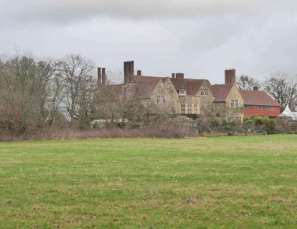
Little Thakeham

Little Thakeham is an Arts and Crafts style, Grade I listed private house in the parish of Thakeham, near the village of Storrington, in the Horsham district...

Rydon Community College

Rydon Community College was a maintained comprehensive middle-deemed-secondary school for pupils aged 10 to 13. The school was located just outside Storrington...

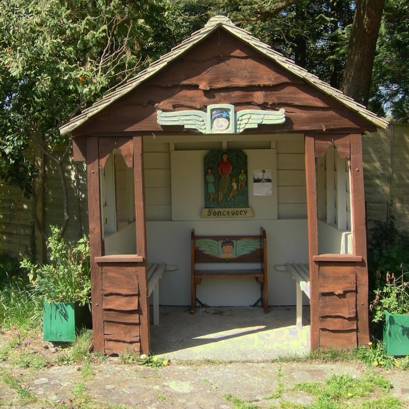
The Sanctuary (community)

The Sanctuary, near Storrington in West Sussex, England, was a utopian community which was founded in 1923 and lasted about a decade. == Founding and... ==

Nearby Amenities

Located within 500m of 50.927354,-0.42301351
Barrier: stile
Lat/Long: 50.9305887/-0.4202312
Post Box
Operator: Royal Mail
Operator Wikidata: Q638098
Post Box Type: lamp
Ref: RH20 110D
Royal Cypher: EIIR
Royal Cypher Wikidata: Q33102113
Lat/Long: 50.9249858/-0.423494
Barrier: stile
Lat/Long: 50.9308662/-0.4205784
Hiking: yes
Information: guidepost
Source: GPS
Tourism: information
Lat/Long: 50.931492/-0.4202418
Barrier: stile
Lat/Long: 50.9307964/-0.420415
Hiking: yes
Information: guidepost
Source: GPS
Tourism: information
Lat/Long: 50.9305571/-0.4202177
Artwork Type: statue
Tourism: artwork
Lat/Long: 50.9301903/-0.4216444
Addr City: Pulborough
Addr Housename: The Chapel, Merrywood House
Addr Postcode: RH20 3HD
Addr Street: Merrywood Lane
Addr Suburb: Thakeham
Lat/Long: 50.9285101/-0.428156
Little Thakeham
Place: isolated_dwelling
Lat/Long: 50.9303599/-0.4232709
Merrywood House
Place: isolated_dwelling
Lat/Long: 50.9283807/-0.4280169
The data included in this document is from www.openstreetmap.org. The data is made available under ODbL.

Have you been to Duke's Rough?

Leave your review of Duke's Rough below (or comments, questions and feedback).