Windmillhill Wood

Wood, Forest in Hertfordshire St. Albans

England

Windmillhill Wood

Grass and field by Punch Bowl Lane, Redbournbury
Grass and field by Punch Bowl Lane, Redbournbury Credit: David Howard

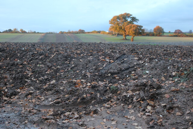
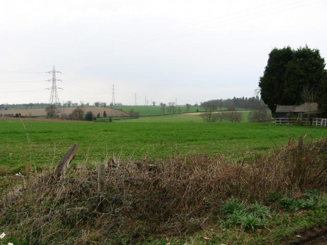
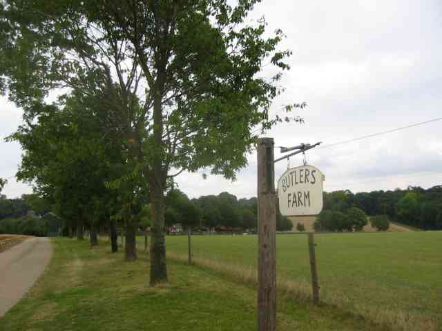
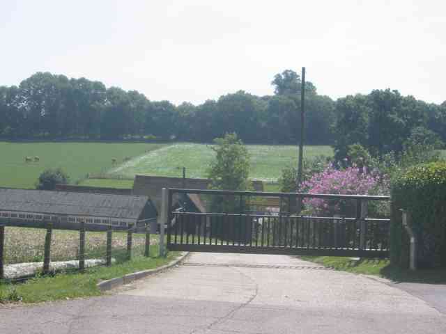
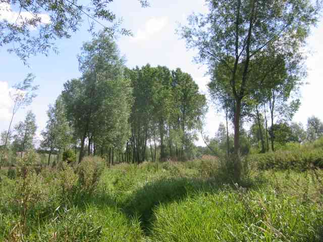
Windmillhill Wood is a picturesque woodland located in Hertfordshire, England. Covering an area of approximately 50 hectares, it is a popular destination for nature enthusiasts and hikers alike. The wood is situated on a gently sloping hillside, offering visitors stunning views of the surrounding countryside.

The woodland is predominantly composed of native broadleaf trees, including oak, beech, and hornbeam. These trees provide a diverse habitat for a variety of wildlife species, such as birds, small mammals, and insects. Nature lovers can spot species such as woodpeckers, deer, and butterflies as they explore the wood's many trails.

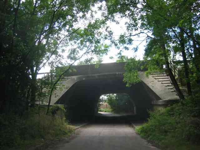
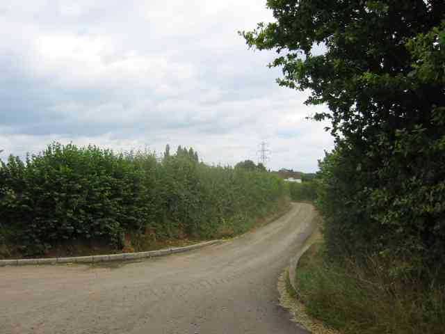
The wood is crisscrossed by a network of well-maintained footpaths, making it easily accessible for visitors of all ages and abilities. These paths lead visitors through the different sections of the wood, including open meadows, dense woodland, and tranquil ponds. Along the way, there are several seating areas and picnic spots, allowing visitors to take a break and enjoy the peaceful surroundings.

Windmillhill Wood is also home to a number of historical features, adding to its charm and intrigue. The remnants of an old windmill can still be seen at the top of the hill, serving as a reminder of the area's agricultural past. Additionally, there are several Bronze Age barrows scattered throughout the wood, providing a glimpse into the ancient history of the area.

Overall, Windmillhill Wood is a captivating natural haven, offering visitors the opportunity to connect with nature, explore its rich biodiversity, and immerse themselves in the beauty of the Hertfordshire countryside.

If you have any feedback on the listing, please let us know in the comments section below.

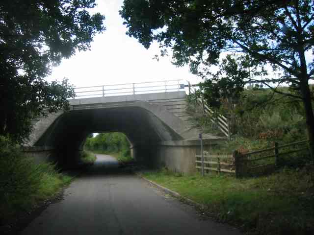
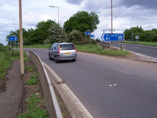
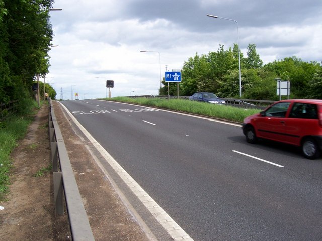
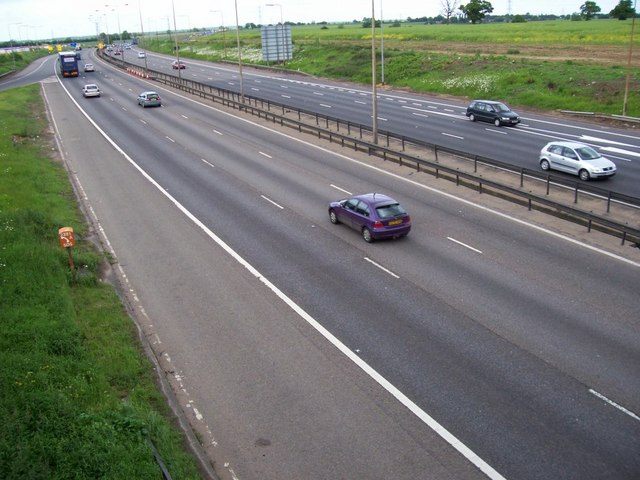
Windmillhill Wood Images

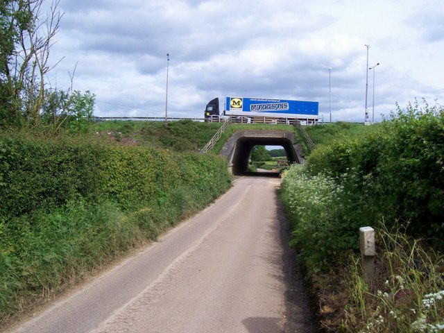
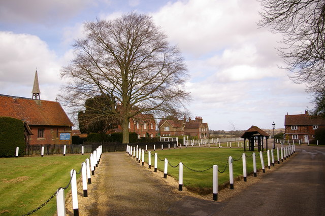
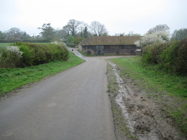
Images are sourced within 2km of 51.761153/-0.39520548 or Grid Reference TL1008. Thanks to Geograph Open Source API. All images are credited.

Grass and field by Punch Bowl Lane, Redbournbury
Field by Punch Bowl Lane, Redbournbury
Farmland, farmland... Looking NW from the track at TL107064 by Hill End Farm (buildings at right).
Farmland, farmland...
Looking NW from the track at TL107064 by Hill End Farm (buildings at right).
Gorhambury House The Gorhambury estate is private, but the owners allow the hoi-polloi to walk and cycle on their roads. 
Photo: Looking NE from the road at about TL111076.
Gorhambury House
The Gorhambury estate is private, but the owners allow the hoi-polloi to walk and cycle on their roads. Photo: Looking NE from the road at about TL111076.
House in Hogg End Lane This could in fact be a semi detached pair of houses.
House in Hogg End Lane
This could in fact be a semi detached pair of houses.
Entrance roadway to Butlers Farm,  Hogg End Lane Long access roads act as a deterrent to explorers.
Entrance roadway to Butlers Farm, Hogg End Lane
Long access roads act as a deterrent to explorers.
Bridge over Beechtree Lane The design of this bridge carrying the M10 just before it merges with the M1 is typical of the period with the rustications
Bridge over Beechtree Lane
The design of this bridge carrying the M10 just before it merges with the M1 is typical of the period with the rustications
Entrance to Kettlewells Farm  Hogg End Lane. The locked gates prevents casual infiltration by 
outsiders and photographers
Entrance to Kettlewells Farm Hogg End Lane.
The locked gates prevents casual infiltration by outsiders and photographers
Bow Bridge Pumping Station This station is on the route for sewage from  Redbourn down to Rickmansworth
Bow Bridge Pumping Station
This station is on the route for sewage from Redbourn down to Rickmansworth
The Ver Walk  at Bow Bridge Despite being a "wellknown" walk the footpath was too overgrown to be passable with any pleasure.
The pumping station is to the rear of the viewpoint.
The Ver Walk at Bow Bridge
Despite being a "wellknown" walk the footpath was too overgrown to be passable with any pleasure. The pumping station is to the rear of the viewpoint.
Breakspears  House or Farm ??? The house also has farm buildings immediately adjacent so I presume it is the farmhouse
Breakspears House or Farm ???
The house also has farm buildings immediately adjacent so I presume it is the farmhouse
Bakers Farm Cottage  at Bakers Farm I would imagine that these were farm cottages now converted to one.
Bakers Farm Cottage at Bakers Farm
I would imagine that these were farm cottages now converted to one.
Road leading to "Old Jeromes" There is a house  called Old Jeromes  wonder who he was
Road leading to "Old Jeromes"
There is a house called Old Jeromes wonder who he was
Bridge for the M1 over Punchbowl Lane Yes it looks just like the one at Beechtree Lane off the A4147.  Grid TL 090060
Bridge for the M1 over Punchbowl Lane
Yes it looks just like the one at Beechtree Lane off the A4147. Grid TL 090060
M1 Junction 8 The silver car is joining the M1 northbound at junction 8 (Hemel Hempstead). The bridge to the right takes cars over the M1 and turns into sliproads for southbound traffic joining or leaving the motorway. A public footpath crosses the northbound sliproad just in front of the silver car and heads over the bridge, enabling your intrepid photographer to take the other motorway pictures in this square.
M1 Junction 8
The silver car is joining the M1 northbound at junction 8 (Hemel Hempstead). The bridge to the right takes cars over the M1 and turns into sliproads for southbound traffic joining or leaving the motorway. A public footpath crosses the northbound sliproad just in front of the silver car and heads over the bridge, enabling your intrepid photographer to take the other motorway pictures in this square.
M1 junction 8 southbound The red car is crossing the M1 from Hemel Hempstead to join the motorway going south. The blue car on the other side has just left the motorway.
M1 junction 8 southbound
The red car is crossing the M1 from Hemel Hempstead to join the motorway going south. The blue car on the other side has just left the motorway.
M1 at junction 8 Looking north from the bridge which carries southbound traffic to and from their sliproads. The northbound sliproad can be seen joining the motorway at top left.
M1 at junction 8
Looking north from the bridge which carries southbound traffic to and from their sliproads. The northbound sliproad can be seen joining the motorway at top left.
Motorway crosses B road Looking east along the B road which runs east from Buncefield (site of the exploding fuel depot) at the edge of Hemel Hempstead, to the bridge which carries the M1. The B road runs on past Kettlewells farm and Hogg End to the A5183.
Motorway crosses B road
Looking east along the B road which runs east from Buncefield (site of the exploding fuel depot) at the edge of Hemel Hempstead, to the bridge which carries the M1. The B road runs on past Kettlewells farm and Hogg End to the A5183.
Show me another place!

Windmillhill Wood is located at Grid Ref: TL1008 (Lat: 51.761153, Lng: -0.39520548)

Administrative County: Hertfordshire

District: St. Albans

Police Authority: Hertfordshire

What 3 Words

///empire.lazy.stacks. Near Hemel Hempstead, Hertfordshire

Related Wikis

Old Gorhambury House

Old Gorhambury House located near St Albans, Hertfordshire, England, is a ruined Elizabethan mansion, a leading and early example of the Elizabethan prodigy...
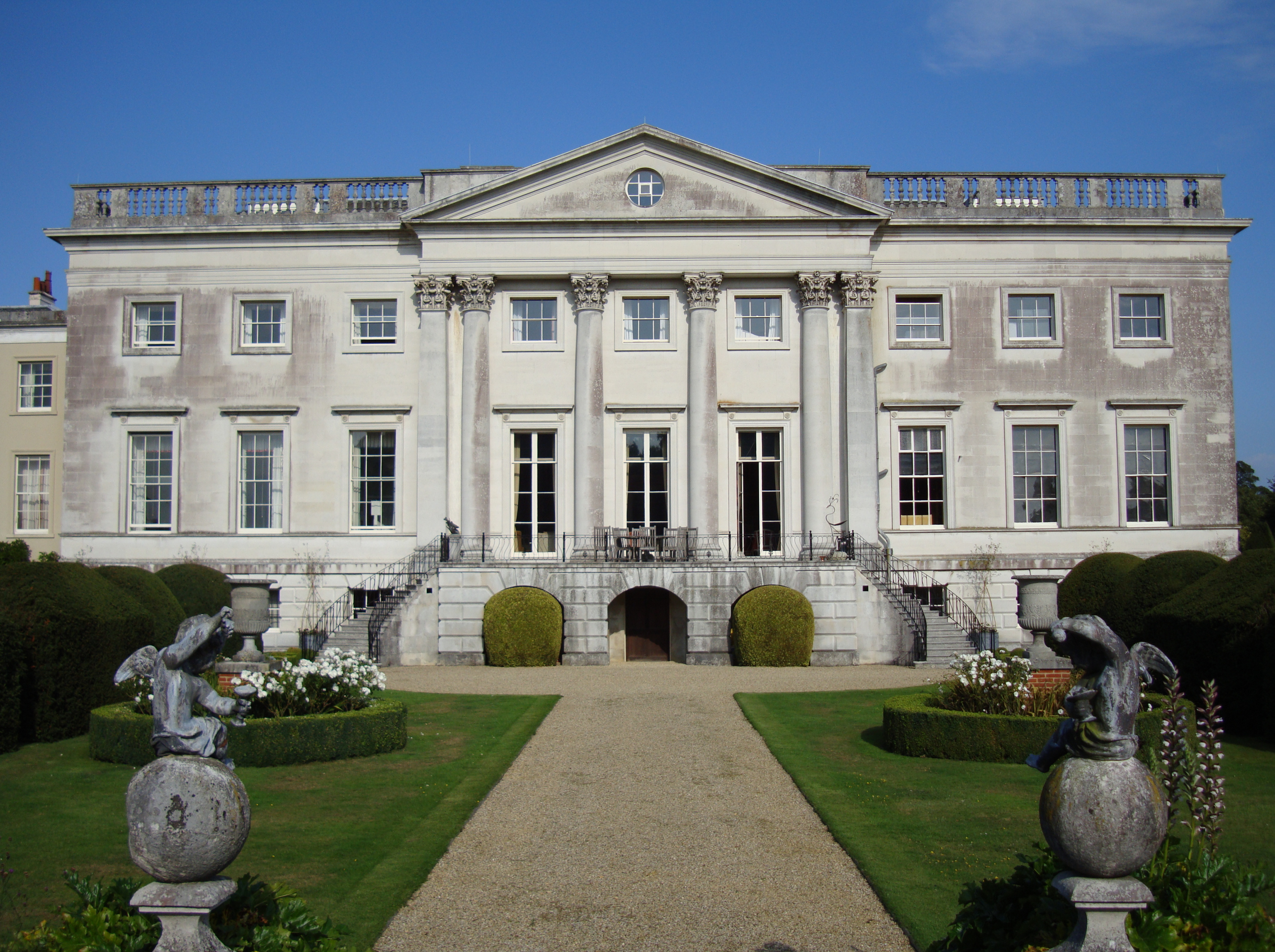
Gorhambury House

Gorhambury House is a Palladian-style house near St Albans, Hertfordshire, England. It was built between 1777 and 1784 to replace Old Gorhambury House...

St Michael, Hertfordshire

St Michael is a civil parish in the St Albans district in Hertfordshire, England. The parish is named after but no longer includes St Michael's Church...

Buncefield fire

The Buncefield fire was a major fire at an oil storage facility that started at 06:01 UTC on Sunday 11 December 2005 at the Hertfordshire Oil Storage Terminal...

Buncefield oil depot

Buncefield oil depot is operated by Hertfordshire Oil Storage Ltd (HOSL) and officially known as the Hertfordshire Oil Storage Terminal. It is an oil depot...

Westwick Row

Westwick Row is a place in Hertfordshire, in England. It is situated on the edge of Hemel Hempstead. Westwick Row today is a narrow rural lane in the village...

Verlamion

Verlamion, or Verlamio, was a settlement in Iron Age Britain. It was a major centre of the Catuvellauni tribe from about 20 BC until shortly after the...

International Crown

The Hanwha LifePlus International Crown is a biennial women's professional team golf tournament on the LPGA Tour. Eight national teams of four players...

Nearby Amenities

Located within 500m of 51.761153,-0.39520548
Post Box
Lat/Long: 51.7642563/-0.4000702
The data included in this document is from www.openstreetmap.org. The data is made available under ODbL.

Have you been to Windmillhill Wood?

Leave your review of Windmillhill Wood below (or comments, questions and feedback).