Burnwell Spinneys
Wood, Forest in Hertfordshire North Hertfordshire
England
Burnwell Spinneys
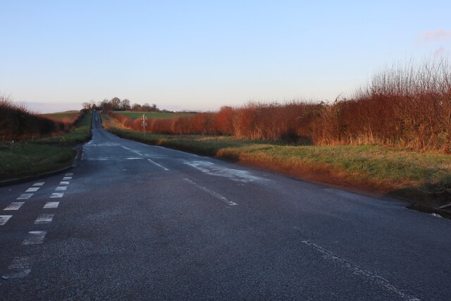
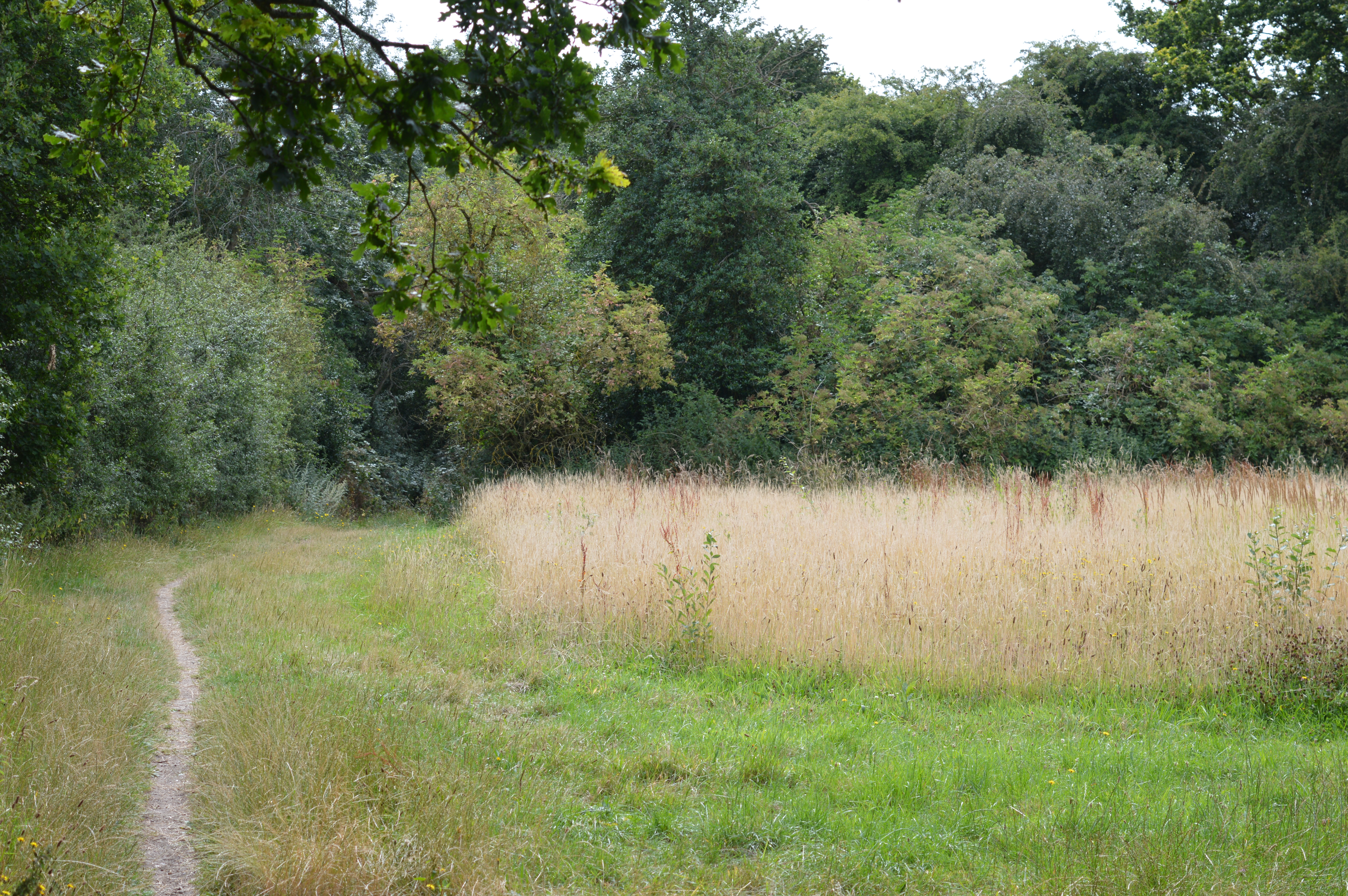
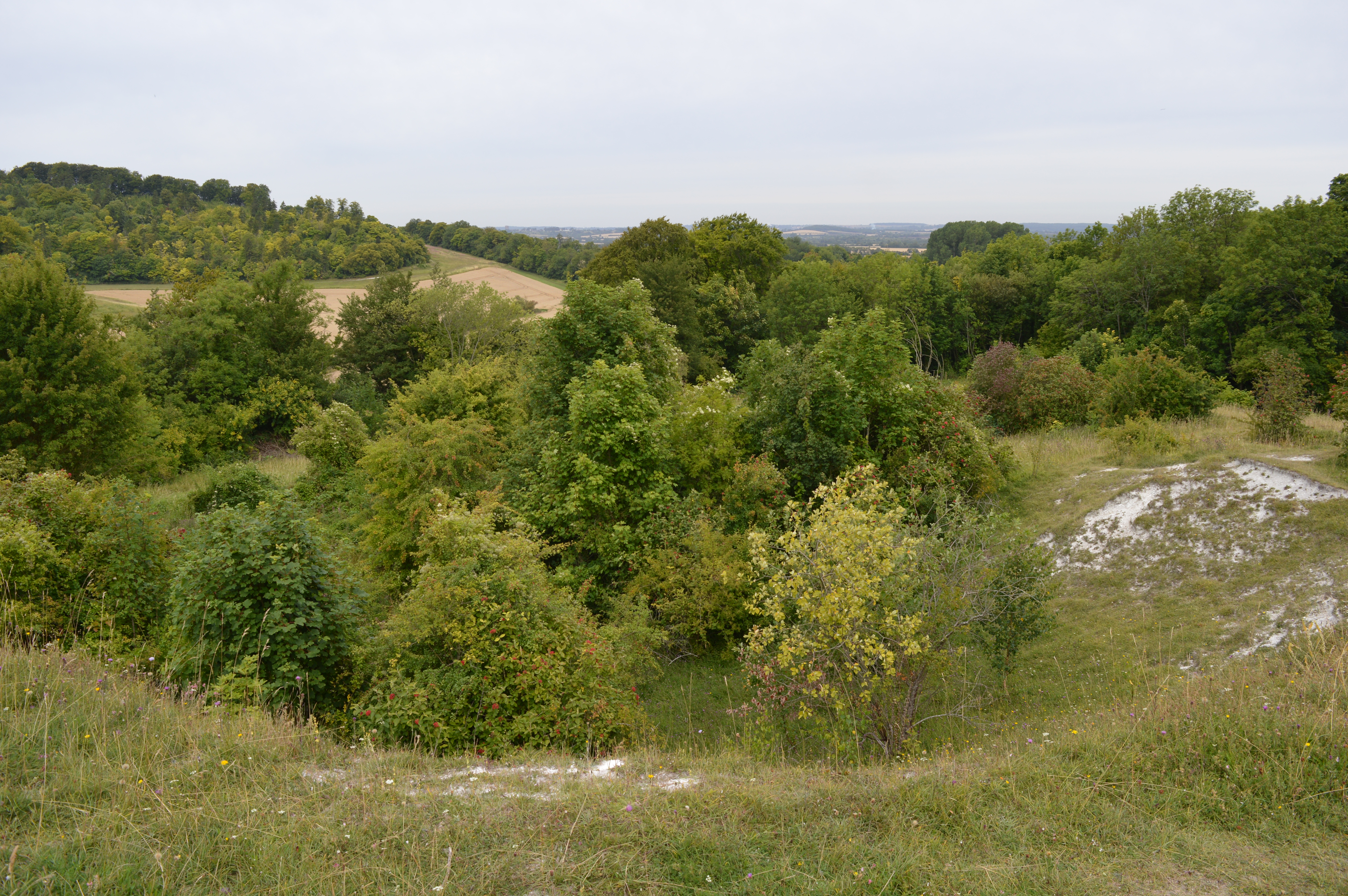
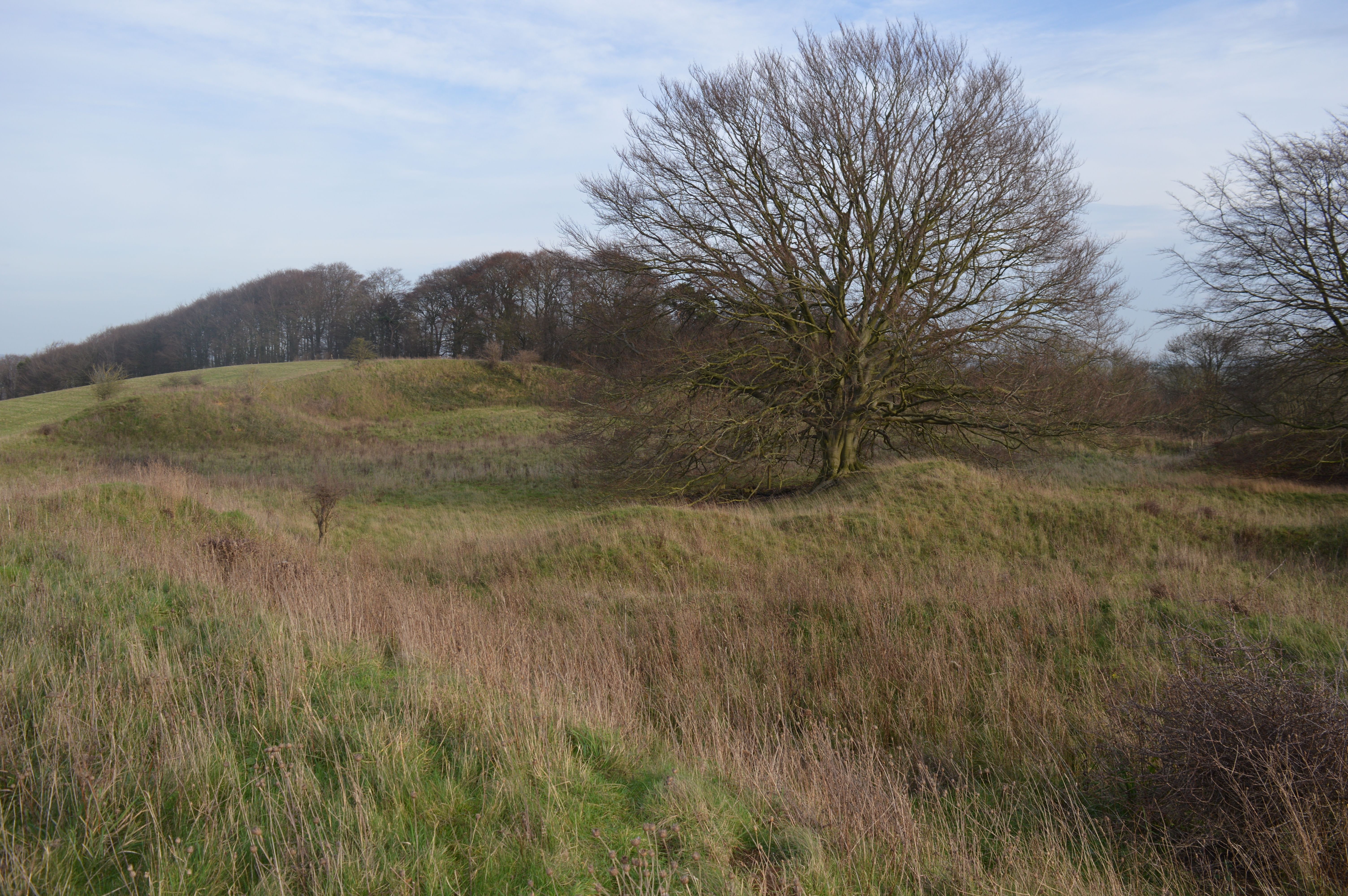
Burnwell Spinneys is a picturesque woodland located in Hertfordshire, England. This enchanting forest covers an area of approximately 50 acres and is a popular destination for nature lovers and outdoor enthusiasts.
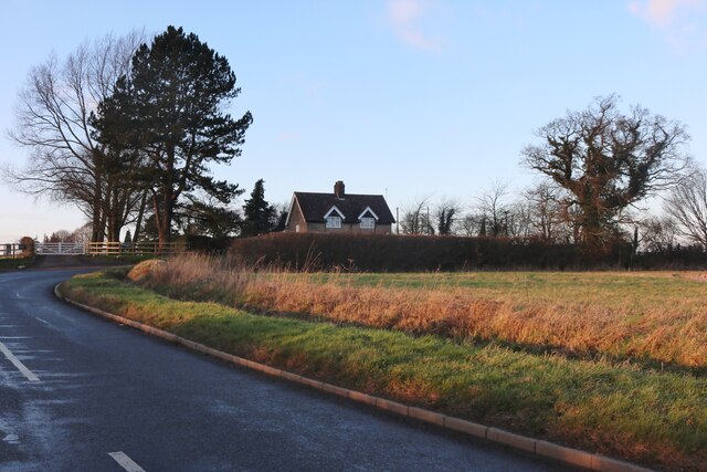
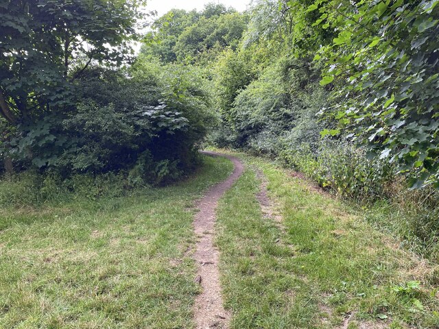
Situated just a few miles outside the bustling town of Hertford, Burnwell Spinneys offers a peaceful retreat from the urban environment. The woodland is characterized by its dense canopy of mature trees, including oak, beech, and birch, which provide a habitat for a diverse range of flora and fauna.
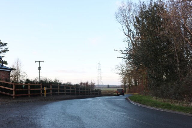
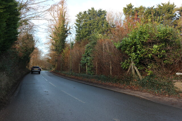
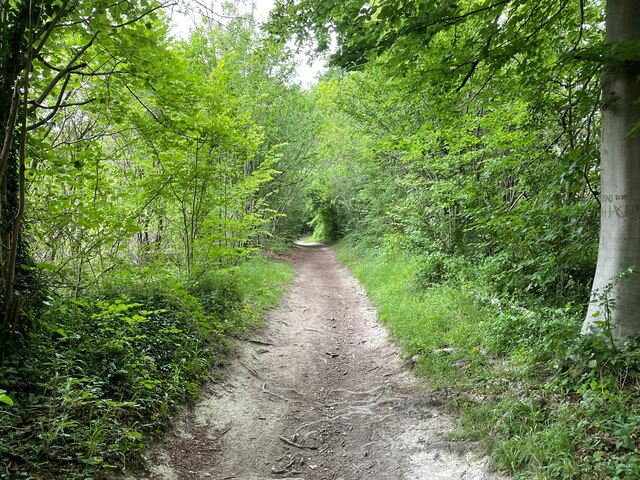
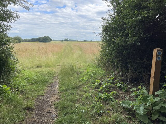
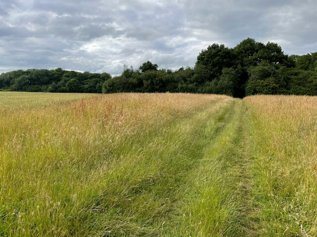
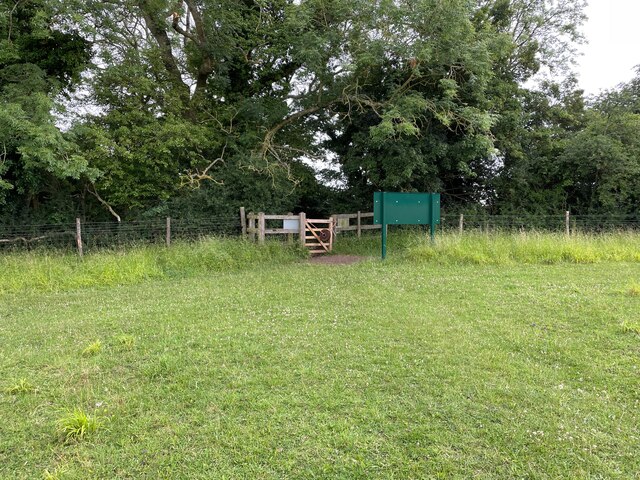
Visitors to Burnwell Spinneys can explore its well-maintained network of trails, which wind through the forest, offering stunning views of the surrounding countryside. The pathways are suitable for walkers of all abilities, and benches are strategically placed along the route, providing opportunities for rest and contemplation.
The woodland is also home to a variety of wildlife, including deer, foxes, and numerous bird species. Birdwatchers will be delighted by the opportunity to spot woodpeckers, owls, and even the elusive nightingale, which occasionally graces the forest with its melodious song.
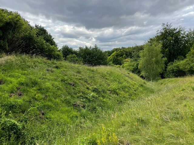
Burnwell Spinneys is a designated Site of Special Scientific Interest (SSSI), reflecting its importance in terms of biodiversity and conservation. The forest is managed by local authorities, who work diligently to protect and preserve its natural beauty.
Throughout the year, the forest hosts a range of events and activities, such as guided nature walks and educational programs for schools. These initiatives aim to promote an understanding and appreciation for the woodland ecosystem, while also encouraging sustainable enjoyment of the natural environment.
In summary, Burnwell Spinneys in Hertfordshire is a captivating woodland that offers visitors a tranquil escape and the opportunity to reconnect with nature. Its diverse flora and fauna, well-maintained trails, and commitment to conservation make it a must-visit destination for those seeking a peaceful retreat in the heart of England.
If you have any feedback on the listing, please let us know in the comments section below.
Burnwell Spinneys Images
Images are sourced within 2km of 51.936942/-0.38924639 or Grid Reference TL1027. Thanks to Geograph Open Source API. All images are credited.


Burnwell Spinneys is located at Grid Ref: TL1027 (Lat: 51.936942, Lng: -0.38924639)
Administrative County: Hertfordshire
District: North Hertfordshire
Police Authority: Hertfordshire
What 3 Words
///civic.cape.across. Near Streatley, Bedfordshire
Nearby Locations
Related Wikis
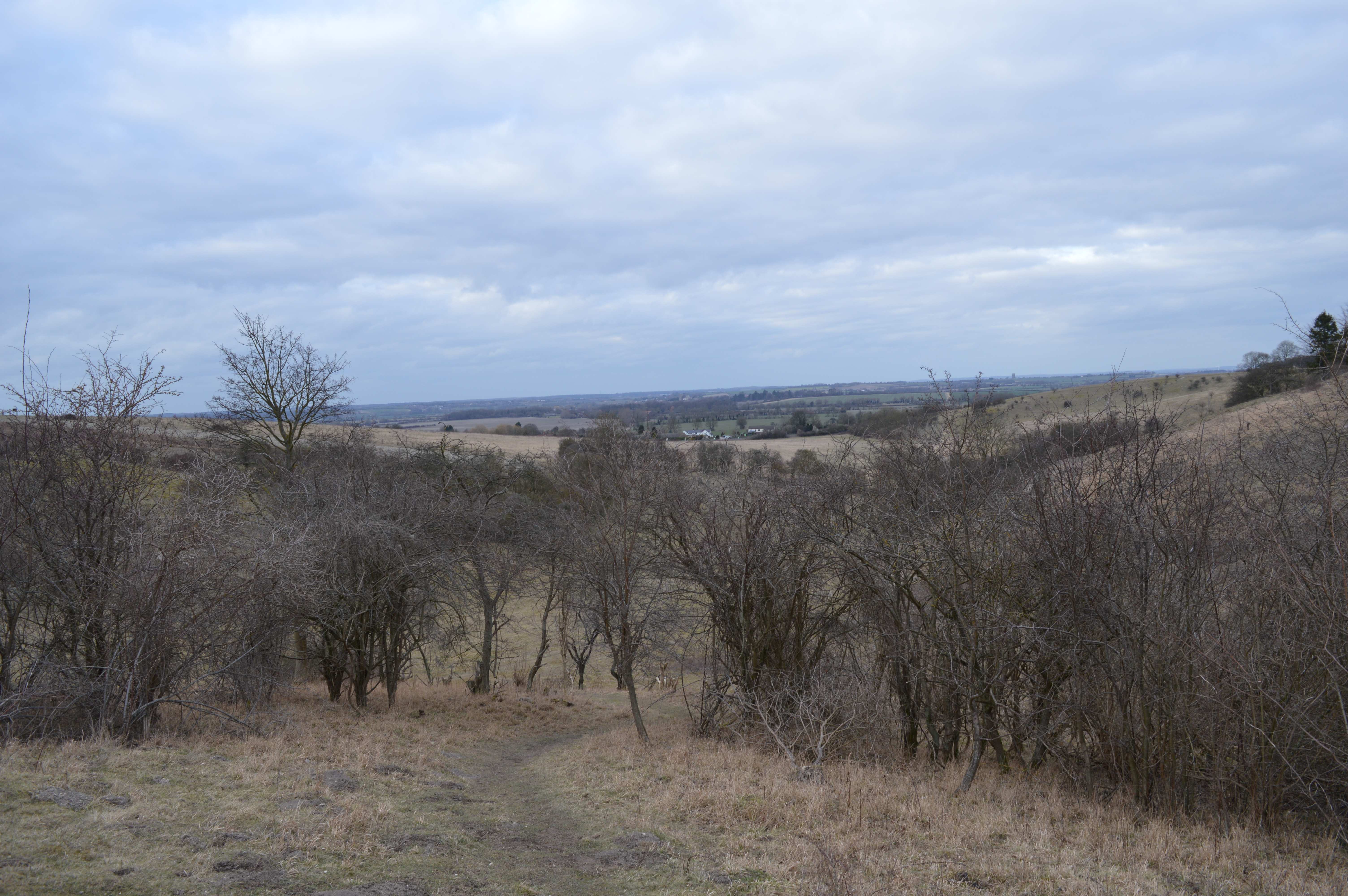
Telegraph Hill, Hertfordshire
Telegraph Hill is a nature reserve near Lilley in north Hertfordshire. It is in the Chilterns Area of Outstanding Natural Beauty (AONB). According to...
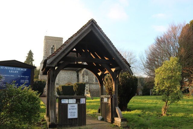
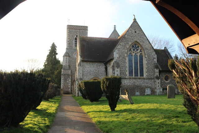
Lilley, Hertfordshire
Lilley is a small village and civil parish situated between Hitchin and Luton in Hertfordshire, England. Lilley stands on high ground: nearby Telegraph...

Galley and Warden Hills
Galley and Warden Hills is a 47 hectare biological Site of Special Scientific Interest in Warden Hill, a suburb of Luton in Bedfordshire. The local planning...
Hexton Chalk Pit
Hexton Chalk Pit is a 1.9-hectare (4.7-acre) nature reserve in Hexton in North Hertfordshire, managed by the Herts and Middlesex Wildlife Trust. It is...

Pegsdon Hills and Hoo Bit
Pegsdon Hills and Hoo Bit is a 79-hectare (200-acre) nature reserve in Pegsdon in Bedfordshire. It is managed by the Wildlife Trust for Bedfordshire, Cambridgeshire...

South Beds Golf Club
South Beds Golf Club is a golf club in Galley Hill, near Bramingham and north of Luton, Bedfordshire, England. It was established in 1892 and is ranked...
Deacon Hill SSSI
Deacon Hill SSSI is a 35.4-hectare (87-acre) biological Site of Special Scientific Interest in Pegsdon in Bedfordshire. It is in the Chilterns Area of...
Barton Gravel Pit
Barton Gravel Pit is a 1.1-hectare (2.7-acre) nature reserve east of Barton-le-Clay in Bedfordshire. It is managed by the Wildlife Trust for Bedfordshire...
Nearby Amenities
Located within 500m of 51.936942,-0.38924639Have you been to Burnwell Spinneys?
Leave your review of Burnwell Spinneys below (or comments, questions and feedback).