Firth Plantation

Wood, Forest in Yorkshire

England

Firth Plantation

Reeds by Leven Canal Looking towards Hall Garth
Reeds by Leven Canal Credit: Neil Theasby

Firth Plantation is a historic woodland located in Yorkshire, England. Situated in the heart of the county, this picturesque plantation spans across several hectares of land and is known for its lush greenery and diverse flora and fauna. The plantation is nestled within the scenic countryside, surrounded by rolling hills and meandering streams, adding to its natural beauty.

The woodland consists mainly of oak, beech, and birch trees, creating a dense forest canopy that provides a haven for various wildlife species. The diverse range of plants and trees in Firth Plantation supports a rich ecosystem, attracting a multitude of bird species, including woodpeckers, thrushes, and owls. Small mammals such as squirrels, rabbits, and foxes also call this woodland home.

The plantation offers visitors a tranquil and peaceful setting, making it a popular destination for nature enthusiasts and those seeking a break from the hustle and bustle of city life. There are several well-maintained walking trails that wind through the woodland, allowing visitors to explore the plantation and enjoy its natural beauty at their own pace. These trails also provide an opportunity for birdwatching and observing the local wildlife.

Firth Plantation has a long history dating back several centuries. It was originally part of an estate owned by a prominent local family. Over the years, the woodland has been carefully preserved and managed, ensuring the conservation of its unique ecosystem and historical significance.

Overall, Firth Plantation in Yorkshire is a captivating woodland that offers a peaceful retreat for nature lovers, showcasing the beauty of Yorkshire's countryside and providing a glimpse into the region's rich history.

If you have any feedback on the listing, please let us know in the comments section below.

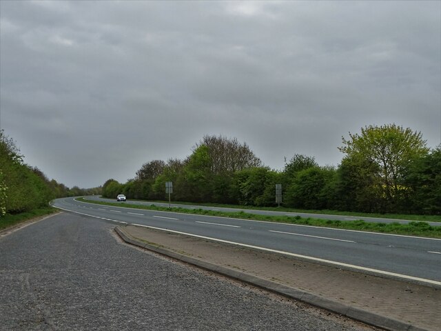
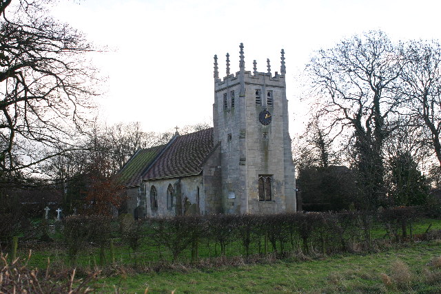
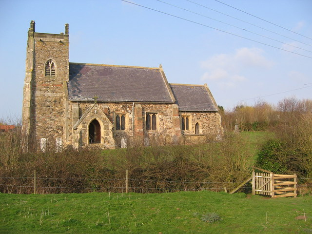
Firth Plantation Images

Images are sourced within 2km of 53.88107/-0.31592182 or Grid Reference TA1044. Thanks to Geograph Open Source API. All images are credited.

Reeds by Leven Canal Looking towards Hall Garth
Reeds by Leven Canal
Looking towards Hall Garth
View to Hall Garth from Bracken Hill In my childhood in this vicinity, Bracken Hill was known universally as Harrison Hill.
View to Hall Garth from Bracken Hill
In my childhood in this vicinity, Bracken Hill was known universally as Harrison Hill.
Lone tree on Bracken Hill, Leven When I grew up in the village, Bracken Hill was always referred to as Harrison Hill. Admittedly, it's not much of a hill, more of an undulation above the carr land.
Lone tree on Bracken Hill, Leven
When I grew up in the village, Bracken Hill was always referred to as Harrison Hill. Admittedly, it's not much of a hill, more of an undulation above the carr land.
Park Farm Cottages A short loop of road beside the A1035.
Park Farm Cottages
A short loop of road beside the A1035.
Cycle path near High Farm Park The cycle path runs beside the A1035.
Cycle path near High Farm Park
The cycle path runs beside the A1035.
A1035 near High Farm Park A cycle path runs beside the road.
A1035 near High Farm Park
A cycle path runs beside the road.
Goosenook Lane, Leven
Sandholme Bridge crossing Leven Canal
Part of Leven Canal The canal was built for Mrs Charlotta Bethell in 1805, and remained in commercial use until 1935. It is now a Site of Special Scientific Interest. Mrs Bethell saw if as an investment opportunity - bringing barges of coal to the heart of The East Riding and carrying grain and other agricultural produce back to Beverley and Hull.
Part of Leven Canal
The canal was built for Mrs Charlotta Bethell in 1805, and remained in commercial use until 1935. It is now a Site of Special Scientific Interest. Mrs Bethell saw if as an investment opportunity - bringing barges of coal to the heart of The East Riding and carrying grain and other agricultural produce back to Beverley and Hull.
Lay-by on Leven By-pass The by-pass was opened in 1994 making both Leven and neighbouring Brandesburton much quieter villages in relation to through traffic.
Lay-by on Leven By-pass
The by-pass was opened in 1994 making both Leven and neighbouring Brandesburton much quieter villages in relation to through traffic.
"The Hare and Hounds" in Leven Situated on North Street at the main village crossroads.
"The Hare and Hounds" in Leven
Situated on North Street at the main village crossroads.
Mrs Austwick's on South Street, Leven You entered through a doorway on the left-hand gable end wall - where the window is now. Mrs Austwick sold confectionery - some which she made herself. As Bonfire Night approached, she also sold fireworks. Of course Mrs Austwick is long gone and  nowadays most people would walk by Number 8, South Street without realising that it was once the village's sweet shop.
Mrs Austwick's on South Street, Leven
You entered through a doorway on the left-hand gable end wall - where the window is now. Mrs Austwick sold confectionery - some which she made herself. As Bonfire Night approached, she also sold fireworks. Of course Mrs Austwick is long gone and nowadays most people would walk by Number 8, South Street without realising that it was once the village's sweet shop.
1825 canal warehouse boss, Leven This historical iron boss is on the north side of an old canal warehouse that stood at the eastern end of Leven Canal. Sadly, the old warehouse is now a private house and its height was clearly lowered during construction of that property. The course of the public footpath was also shifted. I managed to get this picture by raising my camera above the boundary hedge.
1825 canal warehouse boss, Leven
This historical iron boss is on the north side of an old canal warehouse that stood at the eastern end of Leven Canal. Sadly, the old warehouse is now a private house and its height was clearly lowered during construction of that property. The course of the public footpath was also shifted. I managed to get this picture by raising my camera above the boundary hedge.
Leven Lock footpath sign The path travels three and a half miles to the point where Leven Canal meets The River Hull. I have known this sign all my life. Sadly, the first section of the path was diverted some years ago so an easy view of the canal basin is no longer possible. The diversion resulted from one of the historical canal warehouses being converted into a private residence.
Leven Lock footpath sign
The path travels three and a half miles to the point where Leven Canal meets The River Hull. I have known this sign all my life. Sadly, the first section of the path was diverted some years ago so an easy view of the canal basin is no longer possible. The diversion resulted from one of the historical canal warehouses being converted into a private residence.
White Cross and White Cross Cottage White Cross which reputedly marked the boundary of Meaux Abbey's lands was once at the centre of a roundabout but road developments in more recent years have bypassed it. White Cross Cottage isn't always decorated with union jacks. They had no doubt been put up to mark the platinum jubilee of Queen Elizabeth II.
White Cross and White Cross Cottage
White Cross which reputedly marked the boundary of Meaux Abbey's lands was once at the centre of a roundabout but road developments in more recent years have bypassed it. White Cross Cottage isn't always decorated with union jacks. They had no doubt been put up to mark the platinum jubilee of Queen Elizabeth II.
Terrace of cottages opposite Leven Primary School The four small cottages look north and south  rather than east and west. One of them is in the process of receiving an upgrade.
Terrace of cottages opposite Leven Primary School
The four small cottages look north and south rather than east and west. One of them is in the process of receiving an upgrade.
Old milestone This is one of 3 remaining step milestones on the 5.7 mile long White Cross to Beverley Turnpike first enacted in 1761.   It lasted over 100 years until 1867.  The stone was inscribed 'From/Beverley/5'.   It is ½ mile west of White Cross, now by-passed.   The County Councils were formed in the late 1880s and within a few years metal plates had been added over the original legend by the East Riding CC.  Two of the fixing points can be seen.  See also <a href="https://www.geograph.org.uk/photo/6072674">TA1043 : Old Milestone by the A1035, Hornsea Road, Routh parish</a>
Old milestone
This is one of 3 remaining step milestones on the 5.7 mile long White Cross to Beverley Turnpike first enacted in 1761. It lasted over 100 years until 1867. The stone was inscribed 'From/Beverley/5'. It is ½ mile west of White Cross, now by-passed. The County Councils were formed in the late 1880s and within a few years metal plates had been added over the original legend by the East Riding CC. Two of the fixing points can be seen. See also TA1043 : Old Milestone by the A1035, Hornsea Road, Routh parish
Old milestone A view of the milestone almost hidden under the hedge at the side of the footpath/cycleway on the north side of the A1035, ½ mile west from White Cross.   <a href="https://www.geograph.org.uk/photo/7276030">TA1043 : Old milestone</a>
Old milestone
A view of the milestone almost hidden under the hedge at the side of the footpath/cycleway on the north side of the A1035, ½ mile west from White Cross. TA1043 : Old milestone
Show me another place!

Firth Plantation is located at Grid Ref: TA1044 (Lat: 53.88107, Lng: -0.31592182)

Division: East Riding

Unitary Authority: East Riding of Yorkshire

Police Authority: Humberside

What 3 Words

///impresses.casual.spotted. Near Leven, East Yorkshire

Nearby Locations

Firth Plantation

Related Wikis

Leven, East Riding of Yorkshire

Leven is a village and civil parish in the East Riding of Yorkshire, England. It is situated approximately 7 miles (11 km) west of Hornsea town centre...

Little Catwick

Little Catwick is a hamlet in the East Riding of Yorkshire, England. It is situated approximately 7 miles (11 km) north-east of Beverley town centre. It...

Routh, East Riding of Yorkshire

Routh is a village and civil parish in the East Riding of Yorkshire, England. It is situated is approximately 4 miles (6.4 km) north-east of Beverley,...

Long Riston

Long Riston is a village in the civil parish of Riston, in the East Riding of Yorkshire, England, in an area known as Holderness. It is situated approximately...

Catwick

Catwick is a village and civil parish in the East Riding of Yorkshire, England. It is situated approximately 7.5 miles (12 km) north-east of Beverley town...

Riston

Riston is a civil parish in the East Riding of Yorkshire, England. It is situated approximately 9 miles (14 km) north of Hull city centre and covering...

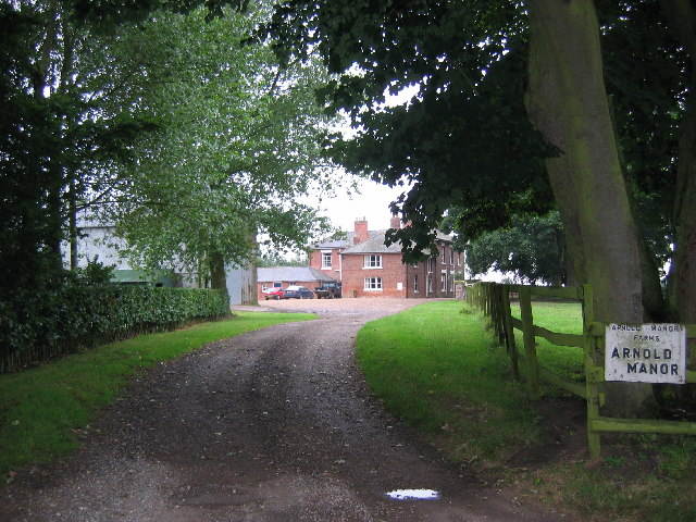
Arnold, East Riding of Yorkshire

Arnold is a hamlet in the East Riding of Yorkshire, England in an area known as Holderness. It is situated approximately 9 miles (14 km) north of Hull...

Brandesburton

Brandesburton is a village and civil parish in the East Riding of Yorkshire, England. It is situated approximately 7 miles (11 km) west of Hornsea and...

Nearby Amenities

Located within 500m of 53.88107,-0.31592182
Bus Stop
Leven Beverley Road
Naptan AtcoCode: 2200YEA00288
Naptan Bearing: SE
Naptan CommonName: Leven Beverley Road
Naptan Landmark: Wynsley Haven
Naptan Street: Beverley Road
Naptan Verified: no
Shelter: no
Source: naptan_import
Tactile Paving: no
Lat/Long: 53.8843873/-0.31386
Bus Stop
Leven Beverley Road
Naptan AtcoCode: 2200YEA11686
Naptan Bearing: NW
Naptan CommonName: Leven Beverley Road
Naptan Landmark: Opposite Wynsley Haven
Naptan ShortCommonName: Beverley Road Leven
Naptan Street: Beverley Road
Naptan Verified: no
Shelter: no
Source: naptan_import
Tactile Paving: no
Lat/Long: 53.88451/-0.3142811
The data included in this document is from www.openstreetmap.org. The data is made available under ODbL.

Have you been to Firth Plantation?

Leave your review of Firth Plantation below (or comments, questions and feedback).