Bruce's Plantation
Wood, Forest in Hertfordshire St. Albans
England
Bruce's Plantation
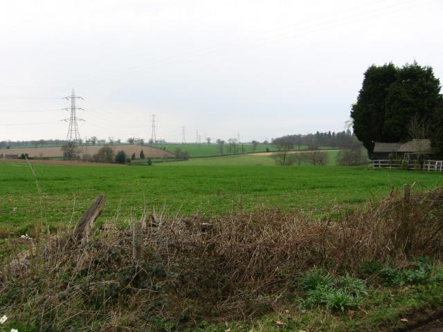
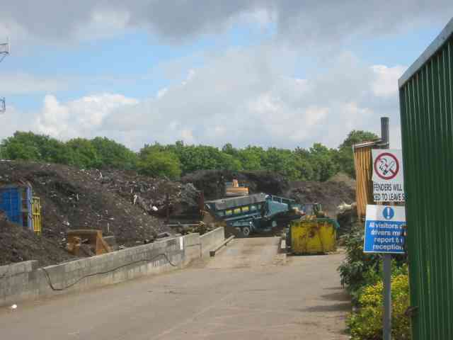
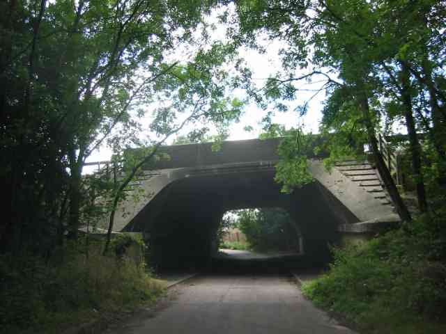
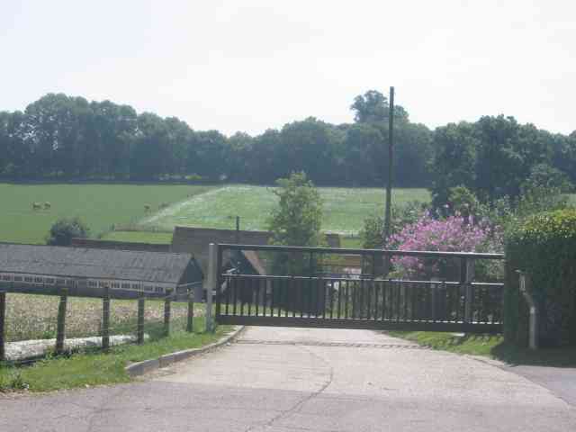
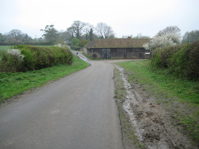
Bruce's Plantation is a picturesque woodland located in Hertfordshire, England. Spanning over a vast area, this woodland is well-known for its dense and diverse forest cover. The plantation is named after its founder, Bruce, who established it in the early 20th century.
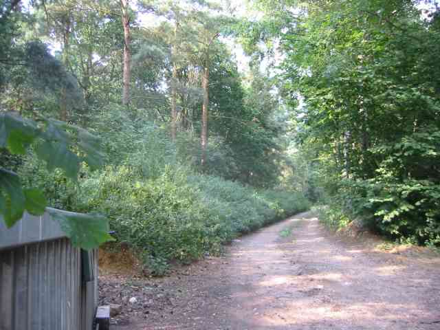
The woodland features a variety of tree species, including oak, beech, birch, and pine, which contribute to its rich biodiversity. The thick foliage provides a haven for numerous wildlife species, including birds, squirrels, and deer, making it a popular spot for nature enthusiasts and birdwatchers.
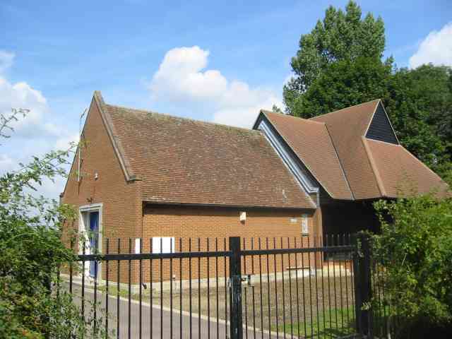
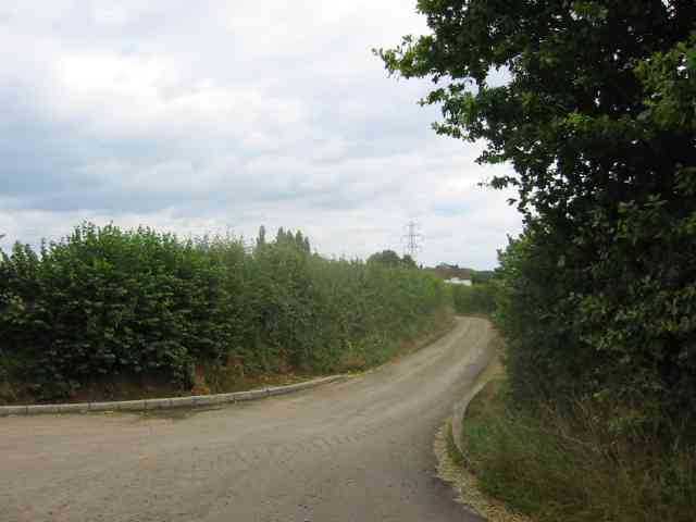
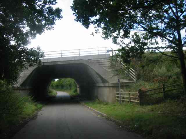
Visitors to Bruce's Plantation can enjoy a serene and tranquil environment, perfect for walking, hiking, or simply immersing oneself in nature. The well-maintained footpaths meander through the woodland, allowing visitors to explore its hidden corners and discover its natural beauty.
In addition to its natural attractions, Bruce's Plantation also boasts several well-placed benches and picnic areas, offering visitors the opportunity to relax and enjoy a picnic amidst the lush greenery. The plantation is also home to a small stream that adds to the charm of the surroundings.
Its convenient location near the town of Hertfordshire makes Bruce's Plantation easily accessible for locals and tourists alike. The woodland is open to the public throughout the year, with no admission fee, making it an ideal destination for a day trip or a weekend getaway.
Overall, Bruce's Plantation in Hertfordshire is a stunning woodland that showcases the beauty of nature. Its verdant forest, diverse wildlife, and tranquil ambiance make it a must-visit destination for those seeking an escape from the hustle and bustle of everyday life.
If you have any feedback on the listing, please let us know in the comments section below.
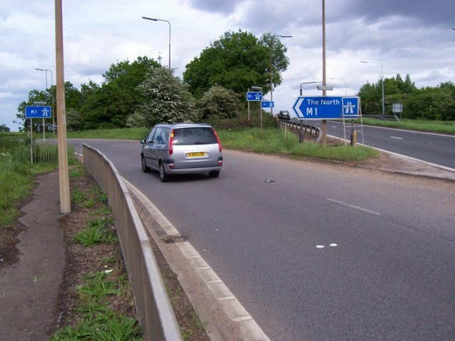
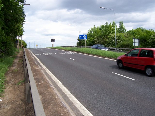
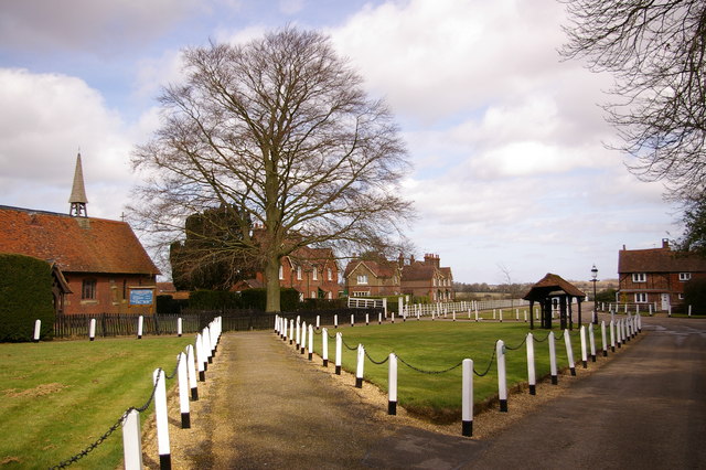
Bruce's Plantation Images
Images are sourced within 2km of 51.757433/-0.3980034 or Grid Reference TL1007. Thanks to Geograph Open Source API. All images are credited.
Bruce's Plantation is located at Grid Ref: TL1007 (Lat: 51.757433, Lng: -0.3980034)
Administrative County: Hertfordshire
District: St. Albans
Police Authority: Hertfordshire
What 3 Words
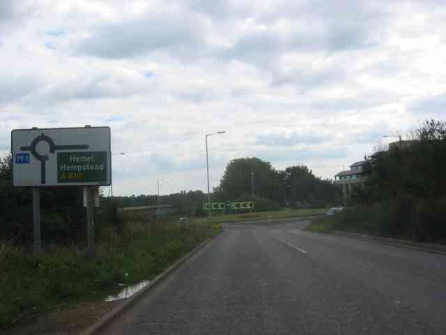
///forgot.zealous.sends. Near Hemel Hempstead, Hertfordshire
Nearby Locations
Related Wikis

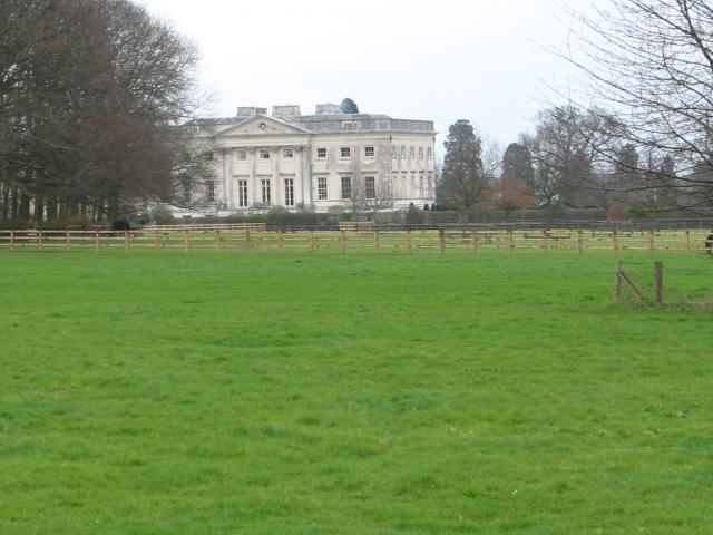
Old Gorhambury House
Old Gorhambury House located near St Albans, Hertfordshire, England, is a ruined Elizabethan mansion, a leading and early example of the Elizabethan prodigy...
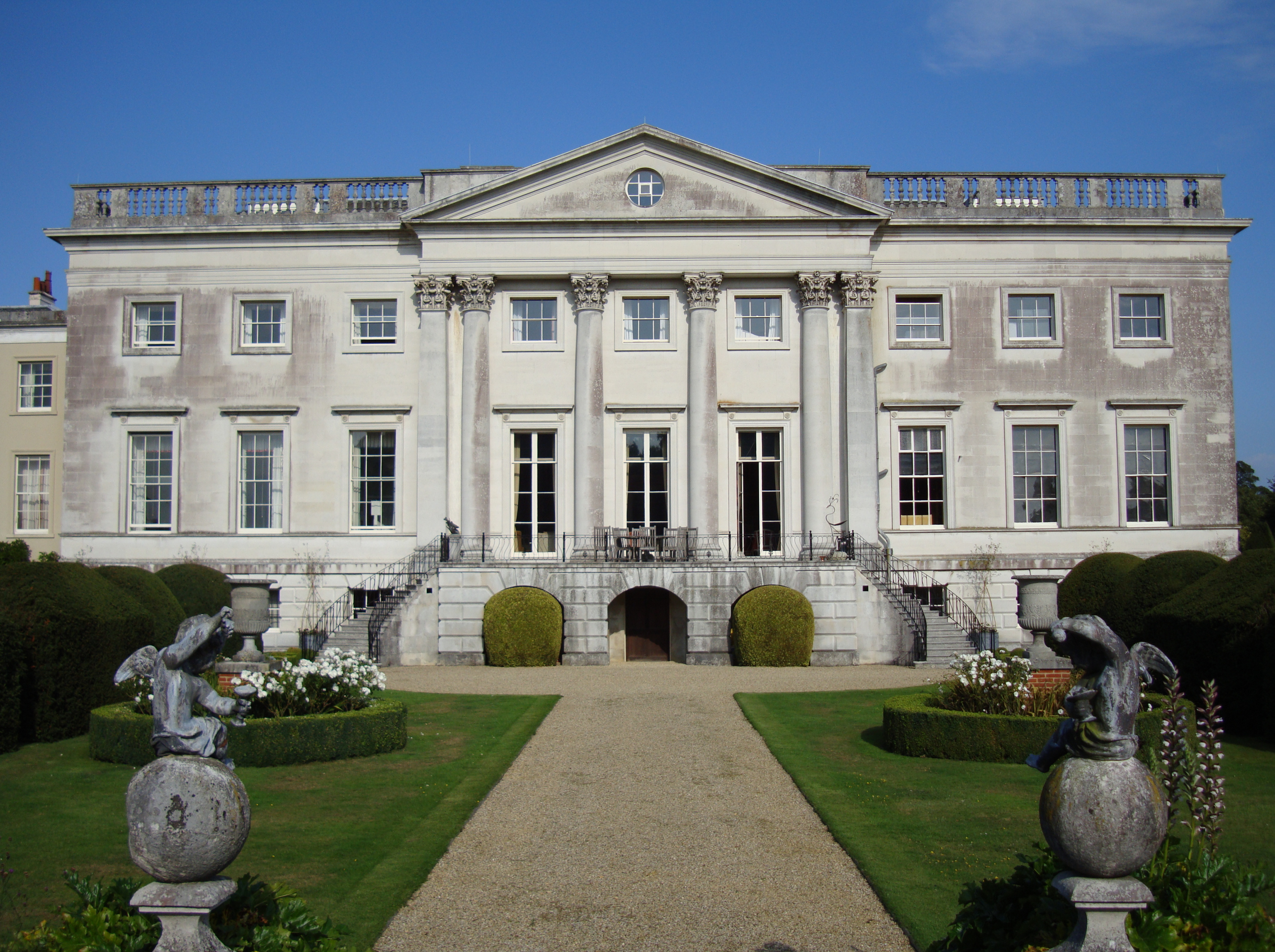
Gorhambury House
Gorhambury House is a Palladian-style house near St Albans, Hertfordshire, England. It was built between 1777 and 1784 to replace Old Gorhambury House...
St Michael, Hertfordshire
St Michael is a civil parish in the St Albans district in Hertfordshire, England. The parish is named after but no longer includes St Michael's Church...
Westwick Row
Westwick Row is a place in Hertfordshire, in England. It is situated on the edge of Hemel Hempstead. Westwick Row today is a narrow rural lane in the village...

International Crown
The Hanwha LifePlus International Crown is a biennial women's professional team golf tournament on the LPGA Tour. Eight national teams of four players...
Centurion Club
The Centurion Club is a golf club in Hemel Hempstead in Hertfordshire. The club opened in 2013. It has hosted the GolfSixes series in 2017 and 2018 and...

Buncefield fire
The Buncefield fire was a major fire at an oil storage facility that started at 06:01 UTC on Sunday 11 December 2005 at the Hertfordshire Oil Storage Terminal...

Buncefield oil depot
Buncefield oil depot is operated by Hertfordshire Oil Storage Ltd (HOSL) and officially known as the Hertfordshire Oil Storage Terminal. It is an oil depot...
Nearby Amenities
Located within 500m of 51.757433,-0.3980034Have you been to Bruce's Plantation?
Leave your review of Bruce's Plantation below (or comments, questions and feedback).