Court Rough

Wood, Forest in Sussex Horsham

England

Court Rough

Access road to dwellings going east from Marringdean Road
Access road to dwellings going east from Marringdean Road Credit: Shazz

Court Rough is a picturesque wood located in the county of Sussex, England. Nestled amidst the scenic landscape of the Sussex countryside, this enchanting forest covers a sprawling area of approximately 200 acres. It is situated near the small village of Court Rough, which lends its name to the woodland.

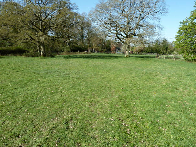
This woodland is renowned for its natural beauty and abundant wildlife. The forest is predominantly composed of broadleaf trees, including oak, beech, and ash, which create a diverse and lush canopy. The forest floor is adorned with a rich carpet of bluebells and other wildflowers during the spring season, adding to its charm.

Court Rough offers a tranquil and peaceful retreat for nature enthusiasts and hikers. The woodland is crisscrossed by a network of well-maintained walking trails, allowing visitors to explore its hidden treasures. The paths meander through the forest, leading to stunning viewpoints and secluded clearings, where visitors can pause and immerse themselves in the serenity of their surroundings.

Wildlife thrives in Court Rough, with an array of species calling this woodland their home. Visitors may catch glimpses of deer, foxes, badgers, and a variety of bird species, including woodpeckers and tawny owls. The forest provides a vital habitat for these creatures and is a popular spot for birdwatchers and wildlife enthusiasts.

Court Rough offers a haven for those seeking solace in nature, a place where the beauty of the Sussex countryside can be fully appreciated. With its diverse flora and fauna, well-maintained trails, and peaceful atmosphere, this wood is a true gem within the Sussex landscape.

If you have any feedback on the listing, please let us know in the comments section below.
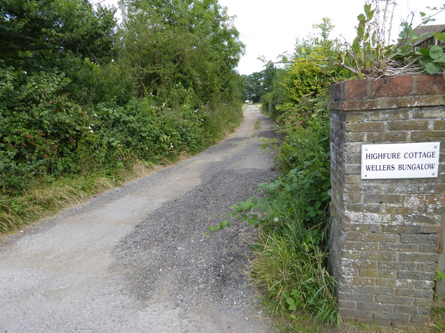
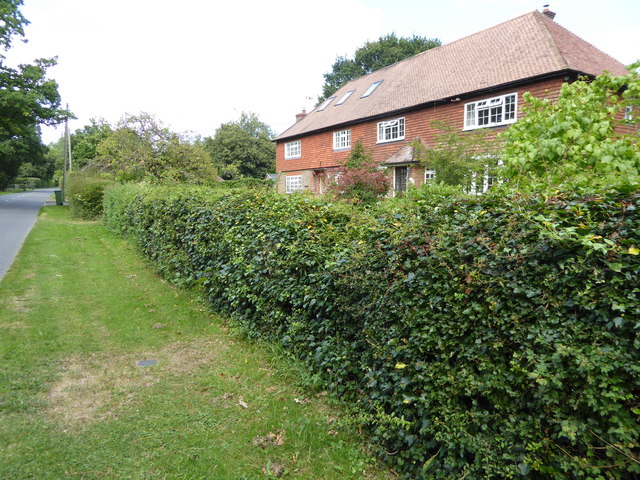
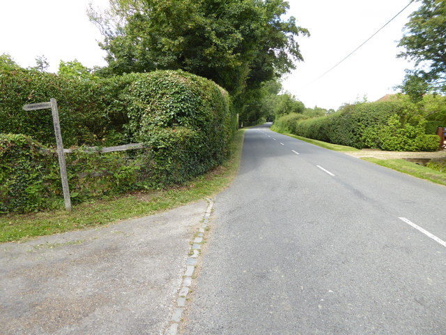
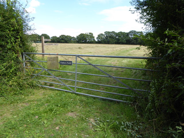
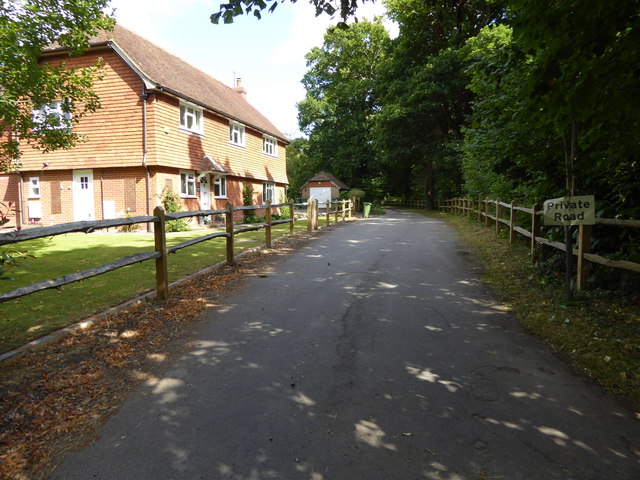
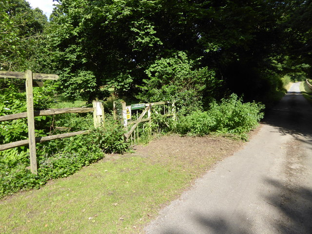
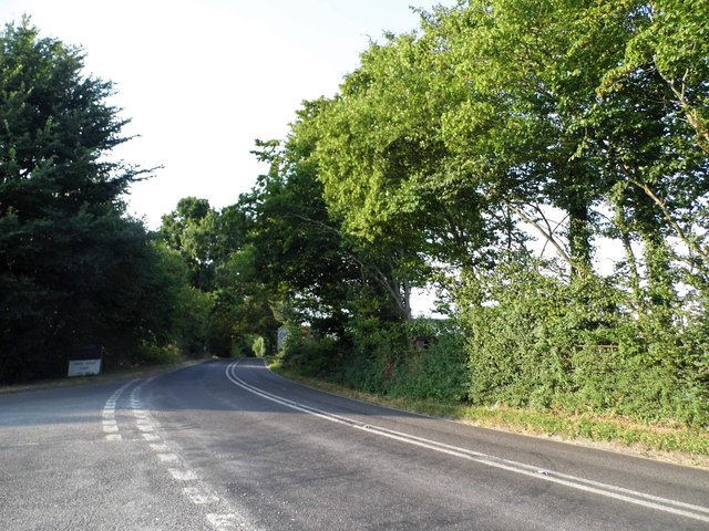
Court Rough Images

Images are sourced within 2km of 51.006927/-0.42457872 or Grid Reference TQ1024. Thanks to Geograph Open Source API. All images are credited.

Access road to dwellings going east from Marringdean Road
Semi-detached dwellings on Marringdean Road
Looking north on Marringdean Road from footpath junction
Gateway to Fowlers Field, footpath and wedding party
"Stonepits Lodge" The private road is a public footpath.
"Stonepits Lodge"
The private road is a public footpath.
Footpath junction east of Marringdean Road
Disused enclosure for livestock by footpath
Footpath going north in woodland at Stonepits Rough
Footpath junction in Rosier Wood
Footpath heads for the A272 with joining path on left
Coneyhurst Road, Billingshurst
Cavendish Park Homes, Billingshurst Cavendish have a number of sites around the country, and Pettychar Court on the right has been added in the last year.
Cavendish Park Homes, Billingshurst
Cavendish have a number of sites around the country, and Pettychar Court on the right has been added in the last year.
Billingshurst Station Billingshurst Station is on the Arun Valley Line. It opened in 1859.
Wikipedia: <span class="nowrap"><a title="http://en.wikipedia.org/wiki/Billingshurst_railway_station" rel="nofollow ugc noopener" href="http://en.wikipedia.org/wiki/Billingshurst_railway_station">Link</a><img style="margin-left:2px;" alt="External link" title="External link - shift click to open in new window" src="https://s1.geograph.org.uk/img/external.png" width="10" height="10"/></span>
Billingshurst Station
Billingshurst Station is on the Arun Valley Line. It opened in 1859. Wikipedia: LinkExternal link
Footpath by Rosier Wood
Rosier Wood
Rosier Wood
Pasture near Stonepit Lodge
Entrance to Kingsmead Farm and Silvester Eng
Houses at the southern edge of Billingshurst The houses are in Kingsfold Close while the very neatly trimmed hedge borders Marringdean Road.
Houses at the southern edge of Billingshurst
The houses are in Kingsfold Close while the very neatly trimmed hedge borders Marringdean Road.
Show me another place!

Court Rough is located at Grid Ref: TQ1024 (Lat: 51.006927, Lng: -0.42457872)

Administrative County: West Sussex

District: Horsham

Police Authority: Sussex

What 3 Words

///cornfield.glosses.official. Near Billingshurst, West Sussex

Nearby Locations

Court Rough

Related Wikis

Coneyhurst

Coneyhurst is a hamlet in the Horsham District of West Sussex, England. It lies on the A272 road 1.6 miles (2.5 km) southeast of Billingshurst (where the...

Coneyhurst Cutting

Coneyhurst Cutting is a 0.2-hectare (0.49-acre) geological Site of Special Scientific Interest south-east of Billingshurst in West Sussex. It is a Geological...

Billingshurst (electoral division)

Billingshurst is an electoral division of West Sussex in the United Kingdom and returns one member to sit on West Sussex County Council. == Extent == The...

Parson's Brook

Parson's Brook is a minor river (brook) located in the Horsham District of West Sussex, England. It is a tributary to the River Adur. == Course == The...

Billingshurst railway station

Billingshurst Railway Station serves the market town of Billingshurst, in West Sussex, England. It is on the Arun Valley Line 44 miles 71 chains (72.2...

Coolham

Coolham is a small village in the civil parish of Shipley and the Horsham District of West Sussex, England. It is located at the crossroads of the A272...

Brooks Green

Brooks Green is a hamlet in the Shipley civil parish of the Horsham District of West Sussex, England. It is in the north-west of the parish, approximately...

The Weald School

The Weald School is a coeducational secondary school and sixth form. It caters for around 1,700 pupils in years 7 to 13, including over 300 in its sixth...

Nearby Amenities

Located within 500m of 51.006927,-0.42457872
Coneyhurst
Place: hamlet
Wikidata: Q5159620
Lat/Long: 51.0047499/-0.4269895
Power: pole
Source: Bing
Lat/Long: 51.0111019/-0.4267877
Power: pole
Source: Bing
Lat/Long: 51.0106395/-0.4253179
Power: pole
Source: Bing
Lat/Long: 51.0107745/-0.427984
Fuel
LPG Station
Lat/Long: 51.0063188/-0.4298919
Washout Hydrant
Fire Hydrant
Emergency: fire_hydrant
Fire Hydrant Type: underground
Survey Date: 2018-11-11
Water Source: main
Lat/Long: 51.003905/-0.4272181
Barrier: stile
Lat/Long: 51.0089441/-0.423125
Power: pole
Source: Bing
Lat/Long: 51.0091274/-0.4247224
Post Box
Operator: Royal Mail
Post Box Type: wall
Ref: RH14 61
Royal Cypher: VR
Royal Cypher Wikidata: Q33102356
Lat/Long: 51.0039954/-0.4273389
Court Farm
Place: farm
Lat/Long: 51.0075439/-0.4224802
Universal Trailers
Shop: yes
Lat/Long: 51.0051647/-0.4280163
Four Seasons Farm
Place: farm
Lat/Long: 51.0060047/-0.4293663
Addr Housename: Corner Cottages
Lat/Long: 51.0056068/-0.4274351
Addr Housename: Courth Farm Cottages
Addr Street: West Chiltington Lane
Lat/Long: 51.0066096/-0.4257817
Kettlesbridge Farm
Place: farm
Lat/Long: 51.009932/-0.4247366
Willow Farm
Place: farm
Lat/Long: 51.0077295/-0.4290629
Daniel's Farm
Place: farm
Lat/Long: 51.0036212/-0.4279495
The data included in this document is from www.openstreetmap.org. The data is made available under ODbL.

Have you been to Court Rough?

Leave your review of Court Rough below (or comments, questions and feedback).