Long Holt
Wood, Forest in Lincolnshire North Kesteven
England
Long Holt

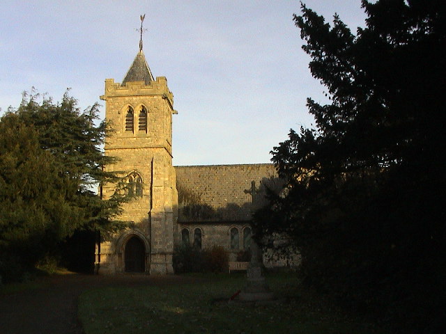
Long Holt is a small village located in the county of Lincolnshire, England. Situated in the Wood area of the county, it is known for its picturesque and idyllic surroundings. The village is nestled within a dense forest, which adds to its charm and provides a tranquil and peaceful environment for its residents.
Long Holt is surrounded by an abundance of trees, creating a lush and green landscape. The forest not only enhances the aesthetic appeal of the village but also offers a great opportunity for nature enthusiasts to explore and enjoy outdoor activities. The area is home to various species of wildlife, making it a haven for birdwatchers and nature lovers.
The village itself is characterized by its traditional and quaint architecture. It has a small population, consisting mainly of local residents who value the quiet and serene lifestyle that Long Holt offers. The community is close-knit, and residents often engage in community events and activities.
Despite its small size, Long Holt is well-connected to nearby towns and cities. It is conveniently located near major transportation routes, allowing for easy access to amenities and services in the wider area.
Overall, Long Holt in Lincolnshire is a charming and peaceful village surrounded by a beautiful forest. It offers residents a close connection to nature and a tranquil lifestyle, making it an ideal place for those seeking a retreat from the busy city life.
If you have any feedback on the listing, please let us know in the comments section below.
Long Holt Images
Images are sourced within 2km of 53.11225/-0.34943242 or Grid Reference TF1058. Thanks to Geograph Open Source API. All images are credited.


Long Holt is located at Grid Ref: TF1058 (Lat: 53.11225, Lng: -0.34943242)
Administrative County: Lincolnshire
District: North Kesteven
Police Authority: Lincolnshire
What 3 Words
///watch.fatigued.congratulations. Near Metheringham, Lincolnshire
Nearby Locations
Related Wikis

Scopwick and Timberland railway station
Scopwick and Timberland railway station was a station in Scopwick, Lincolnshire, which was open between 1882 and 1955. == History == The railway line between...

Timberland, Lincolnshire
Timberland is a village in the North Kesteven district of Lincolnshire, England. The population of the civil parish (including Thorpe Tilney) at the 2011...

Thorpe Tilney
Thorpe Tilney is a hamlet in the civil parish of Timberland in the district of North Kesteven, in the county of Lincolnshire, England. The hamlet is located...

Kirkby Green
Kirkby Green is a small village in the North Kesteven district of Lincolnshire, England. The village lies east from Scopwick on the B1191 road to Timberland...
Martin, North Kesteven
Martin is a small village and civil parish in the North Kesteven district of Lincolnshire, England. The population at the 2011 census was 866. It lies...

Metheringham Lass
The Metheringham Lass is the name given to an apparition which has been reported at RAF Metheringham. Reports have stated that the woman, wearing a jacket...

RAF Metheringham
Royal Air Force Metheringham or more simply RAF Metheringham is a former Royal Air Force station situated between the villages of Metheringham and Martin...

Rowston
Rowston is a village and civil parish in the North Kesteven district of Lincolnshire, England, situated approximately 6 miles (10 km) north from the town...
Nearby Amenities
Located within 500m of 53.11225,-0.34943242Have you been to Long Holt?
Leave your review of Long Holt below (or comments, questions and feedback).