Scout Spring

Wood, Forest in Hertfordshire St. Albans

England

Scout Spring

Matrix gantry M1 northbound
Matrix gantry M1 northbound Credit: Dave Thompson

Scout Spring is a picturesque woodland located in Hertfordshire, England. Situated near the town of Hertford, Scout Spring is known for its natural beauty and tranquil atmosphere. The woodland covers an extensive area, offering visitors a serene escape from the bustling city life.

As its name suggests, Scout Spring is home to a natural spring, which adds to its charm and allure. The spring provides a constant flow of crystal-clear water, creating a peaceful ambiance within the woodland. This natural feature also attracts a diverse range of wildlife, making Scout Spring a haven for nature enthusiasts and birdwatchers.

The woodland itself is predominantly composed of various species of trees, including oak, beech, and birch. These towering trees provide a dense canopy, offering shade and shelter for those exploring the area. The forest floor is covered in an array of vibrant wildflowers, adding bursts of color to the landscape.

Scout Spring is a popular destination for outdoor activities such as hiking and cycling. There are several well-maintained trails that wind through the woodland, allowing visitors to explore its hidden corners and discover its natural wonders. Adventurous individuals can also embark on guided nature walks, where they can learn about the flora and fauna that call Scout Spring their home.

Overall, Scout Spring in Hertfordshire is a delightful woodland retreat that offers a peaceful escape and abundant natural beauty. It is a place where visitors can immerse themselves in nature, appreciate the tranquility, and enjoy the various outdoor activities it has to offer.

If you have any feedback on the listing, please let us know in the comments section below.
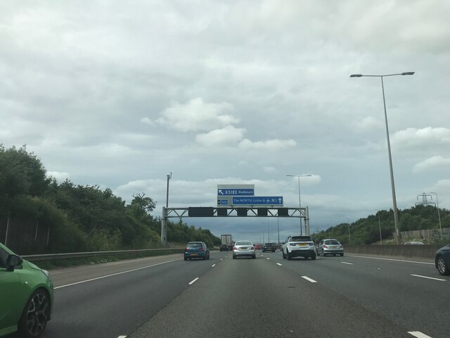
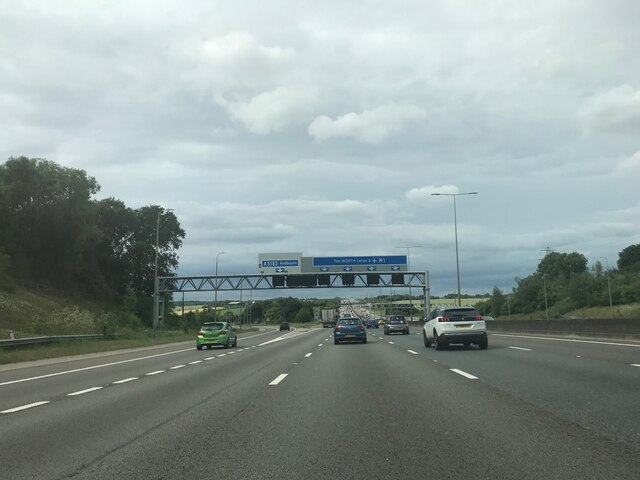
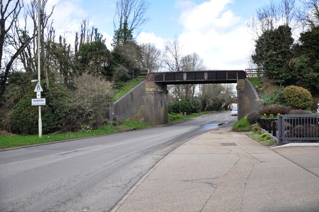
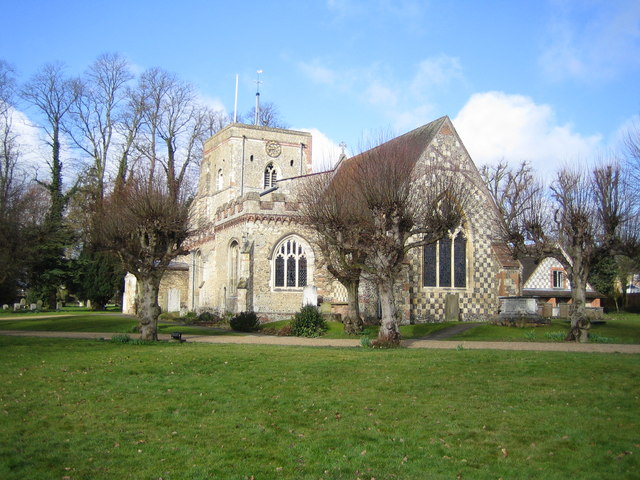
Scout Spring Images

Images are sourced within 2km of 51.808826/-0.39832881 or Grid Reference TL1013. Thanks to Geograph Open Source API. All images are credited.

Matrix gantry M1 northbound
Footbridge crossing M1 northbound
Matrix gantry M1 northbound
Luton Lane looking towards Kinsbourne Green Lane
Conifers by Luton Lane, Redbourn
House on Luton Lane, Redbourn
Watling House on Dunstable Road, Redbourn Offices of Rolfe Construction Ltd. <span class="nowrap"><a title="https://rclservices.com/" rel="nofollow ugc noopener" href="https://rclservices.com/">Link</a><img style="margin-left:2px;" alt="External link" title="External link - shift click to open in new window" src="https://s1.geograph.org.uk/img/external.png" width="10" height="10"/></span>
Watling House on Dunstable Road, Redbourn
Offices of Rolfe Construction Ltd. LinkExternal link
Tree on Kinsbourne Green Lane
Field on Roundwood Lane, Harpenden
Roundwood Lane, Harpenden
Hedgerow by Roundwood Lane, Harpenden
Kinsbourne Green Lane, Redbourn
Tree on Roundwood Lane, Kinsbourne Green
Bridge over Redbourn High Street The disused railway bridge crossing Redbourn High Street, once the A5.  The single line ran from Harpenden to Hemel Hempstead and was built by the Midland Railway.  Passenger services ceased in 1947, but the full length of the line was not closed and removed until 1982.  Nowadays a large part of the line is used as a cycleway and footpath, known as the 'Nickey Line'.
Bridge over Redbourn High Street
The disused railway bridge crossing Redbourn High Street, once the A5. The single line ran from Harpenden to Hemel Hempstead and was built by the Midland Railway. Passenger services ceased in 1947, but the full length of the line was not closed and removed until 1982. Nowadays a large part of the line is used as a cycleway and footpath, known as the 'Nickey Line'.
Southbound M1 near to Redbourn The M1 is a north–south motorway connecting London to Leeds, where it joins the A1(M) near Aberford. It was the first motorway to be completed in the United Kingdom.
The motorway is 193 miles long and was constructed in four phases. Most of the motorway was opened between 1959 and 1968 but the southern end was extended in 1977 and the northern end was extended in 1999.
Southbound M1 near to Redbourn
The M1 is a north–south motorway connecting London to Leeds, where it joins the A1(M) near Aberford. It was the first motorway to be completed in the United Kingdom. The motorway is 193 miles long and was constructed in four phases. Most of the motorway was opened between 1959 and 1968 but the southern end was extended in 1977 and the northern end was extended in 1999.
Roundabout prior to the M1 at Markyate The bushes help to cut down dazzle at night
Roundabout prior to the M1 at Markyate
The bushes help to cut down dazzle at night
M1 Motorway near Redbourn Viewed looking north from the Flamsteadbury Farm overbridge, this section of the motorway, between Junctions 8 and 9, is about to be widened to four lanes in each direction. Two wide swathes of land on either side have already been cleared of vegetation. The motorway currently carries an average of 160,000 vehicles per day between these junctions and is often subject to delays. The total cost of the improvement works is estimated to be about £214 million.
M1 Motorway near Redbourn
Viewed looking north from the Flamsteadbury Farm overbridge, this section of the motorway, between Junctions 8 and 9, is about to be widened to four lanes in each direction. Two wide swathes of land on either side have already been cleared of vegetation. The motorway currently carries an average of 160,000 vehicles per day between these junctions and is often subject to delays. The total cost of the improvement works is estimated to be about £214 million.
Show me another place!

Scout Spring is located at Grid Ref: TL1013 (Lat: 51.808826, Lng: -0.39832881)

Administrative County: Hertfordshire

District: St. Albans

Police Authority: Hertfordshire

What 3 Words

///fund.goods.drape. Near Redbourn, Hertfordshire

Nearby Locations

Scout Spring

Related Wikis

Redbourn

Redbourn is a village and civil parish in Hertfordshire, England, lying on Watling Street, three miles (4.8 km) from Harpenden, four miles (6.4 km) from...

Redbourn railway station

Redbourn railway station served the village of Redbourn, Hertfordshire, England from 1887 to 1964 on the Nickey Line. == History == The station opened...

Harpenden Rural

Harpenden Rural is a civil parish in the City and District of St Albans in Hertfordshire, England, to the west of Harpenden parish. The local council is...

Harpenden RFC

Harpenden Rugby Football Club is a rugby club based in Harpenden. They play in Regional 1 South East - a league at tier 5 of the English rugby union system...

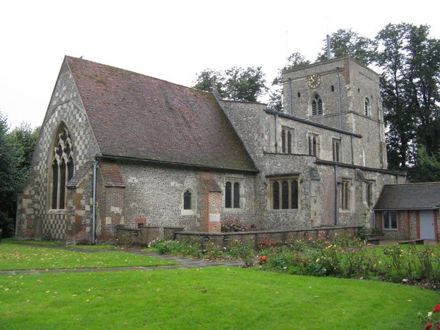
St Mary's Church, Redbourn

St Mary's Church is an active Grade I listed parish church in the Church of England in Redbourn, Hertfordshire, England. The building is Grade I listed...

Rothamsted Manor

Rothamsted Manor is a former manor and current manor house, situated in Harpenden Rural in the English county of Hertfordshire. A Grade I listed building...

Beaumont's Halt railway station

Beaumont's Halt railway station was in Hertfordshire, England from 1905 to 1963 on the Nickey Line. == History == The station opened on 9 August 1905...

Roundwood Park School

Roundwood Park School is a non-selective state secondary school with academy status situated in Harpenden, Hertfordshire, UK. Opened in 1956, it currently...

Nearby Amenities

Located within 500m of 51.808826,-0.39832881
Barrier: stile
Foot: yes
Lat/Long: 51.8083076/-0.3964787
Barrier: stile
Foot: yes
Lat/Long: 51.8080876/-0.3965734
Parking
Created By: Potlatch 0.7a
Lat/Long: 51.805644/-0.4015769
Bus Stop
Luton Lane
Bus: yes
Local Ref: NR
Naptan AtcoCode: 210021502400
Naptan Bearing: SE
Naptan CommonName: Luton Lane
Naptan Crossing: Bylands House
Naptan Indicator: nr
Naptan Landmark: Bylands House
Naptan NaptanCode: hrtdadjt
Naptan PlusbusZoneRef: HRPNDN;STALBCY
Naptan ShortCommonName: NA
Naptan Street: Dunstable Road
Naptan Verified: no
Public Transport: platform
Source: naptan_import
Lat/Long: 51.8076797/-0.4022154
Bus Stop
Luton Lane
Bus: yes
Naptan AtcoCode: 210021509380
Naptan Bearing: NW
Naptan CommonName: Luton Lane
Naptan Crossing: Bylands Farm
Naptan Indicator: opp
Naptan Landmark: Bylands Farm
Naptan NaptanCode: hrtatpjp
Naptan PlusbusZoneRef: HRPNDN;STALBCY
Naptan ShortCommonName: NA
Naptan Street: Dunstable Road
Naptan Verified: no
Public Transport: platform
Source: naptan_import
Lat/Long: 51.8073556/-0.4021834
Orchard Farm
Place: farm
Source: OS_OpenData_StreetView
Lat/Long: 51.8074753/-0.4034711
Direction: 165
Generator Method: photovoltaic
Generator Output Electricity: yes
Generator Solar Modules: 19
Generator Source: solar
Generator Type: solar_photovoltaic_panel
Location: roof
Power: generator
Lat/Long: 51.8103773/-0.3993362
Direction: 240
Generator Method: photovoltaic
Generator Output Electricity: yes
Generator Solar Modules: 14
Generator Source: solar
Generator Type: solar_photovoltaic_panel
Location: roof
Power: generator
Lat/Long: 51.8047647/-0.4005259
Bench
Description: River Ver diagram carved on the bench
Material: wood
Lat/Long: 51.8060947/-0.3929728
Marker: aerial
Utility: oil
Lat/Long: 51.8093861/-0.4018104
Colour: white
Marker: post
Material: concrete
Utility: oil
Lat/Long: 51.8093819/-0.4017916
Colour: white
Marker: post
Material: concrete
Utility: oil
Lat/Long: 51.809755/-0.4001254
Colour: white
Marker: post
Material: concrete
Utility: oil
Lat/Long: 51.8097253/-0.4000526
Colour: white
Marker: post
Material: concrete
Utility: oil
Lat/Long: 51.8088396/-0.4031282
Colour: white
Marker: post
Material: concrete
Utility: oil
Lat/Long: 51.8087814/-0.4033067
The data included in this document is from www.openstreetmap.org. The data is made available under ODbL.

Have you been to Scout Spring?

Leave your review of Scout Spring below (or comments, questions and feedback).