Fir Tree Spring

Wood, Forest in Hertfordshire St. Albans

England

Fir Tree Spring

Tree on Watery Lane, Flamstead
Tree on Watery Lane, Flamstead Credit: David Howard

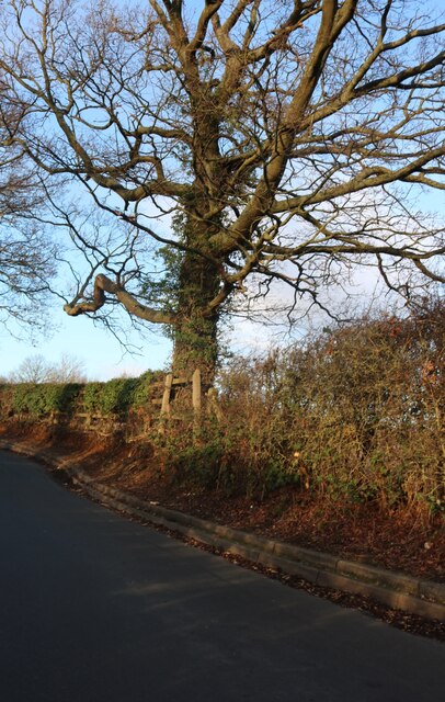
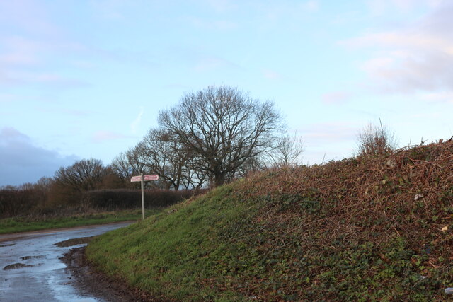
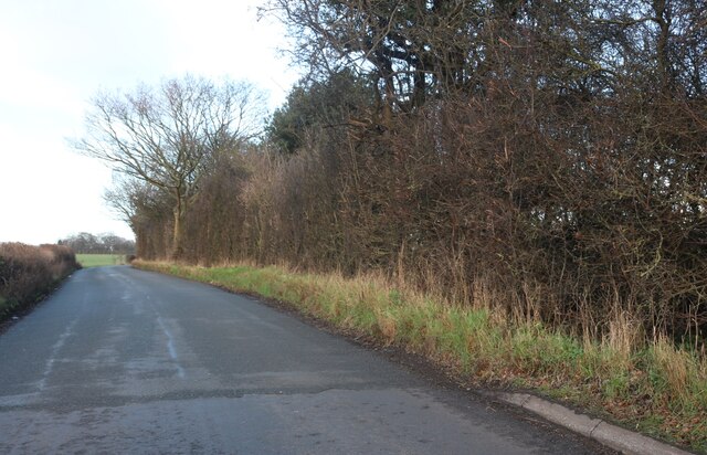
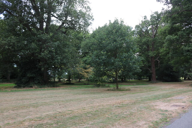
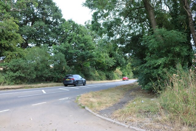
Fir Tree Spring is a picturesque woodland located in Hertfordshire, England. Nestled in the heart of the county, this enchanting forest offers a tranquil escape from the bustling city life. Spanning over a vast area, Fir Tree Spring is known for its dense population of fir trees, which lend the forest its name.

The woodland boasts a diverse range of flora and fauna, making it a haven for nature enthusiasts. Visitors can admire the vibrant tapestry of wildflowers that blanket the forest floor, including bluebells, primroses, and daffodils, depending on the season. The air is filled with the sweet scent of pine, as the towering fir trees stand tall, providing shade and shelter.

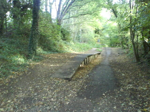
The forest is also home to a variety of wildlife, with sightings of deer, foxes, and numerous bird species being common. Nature lovers can explore the network of walking trails that wind through the wood, offering a chance to spot these creatures in their natural habitat.

Fir Tree Spring is a popular destination for outdoor activities and recreational pursuits. The forest features designated picnic areas, where families and friends can enjoy a leisurely lunch amidst the serene surroundings. Additionally, the woodland offers ample space for camping and hiking, allowing visitors to immerse themselves in the beauty of nature.

Overall, Fir Tree Spring in Hertfordshire is a breathtaking woodland retreat, offering a peaceful respite for those seeking solace in nature's embrace. Its majestic fir trees, abundant wildlife, and scenic trails make it a must-visit destination for anyone looking to reconnect with the great outdoors.

If you have any feedback on the listing, please let us know in the comments section below.

Fir Tree Spring Images

Images are sourced within 2km of 51.834/-0.39746484 or Grid Reference TL1016. Thanks to Geograph Open Source API. All images are credited.

Tree on Watery Lane, Flamstead
The M1 crossing Coles Lane near Flamstead
Road to the old A6 near Flamstead
Pepsal End Lane near Flamstead
Watery Lane, Flamstead
Watery Lane crossing M1 northbound
Matrix gantry M1 northbound
Warren Drive, Luton Hoo
Woodland in Luton Hoo
Warren Drive, Luton Hoo
Coles Lane going under the M1
Woodland in Luton Hoo
Beech Tree Drive, Luton Hoo This is part of the one way system in and out of Luton Hoo.
Beech Tree Drive, Luton Hoo
This is part of the one way system in and out of Luton Hoo.
The entrance to Luton Hoo from London Road
London Road near Kinsbourne Green
Half Moon Lane at the junction of London Road
London Road near Pepperstock
Show me another place!

Fir Tree Spring is located at Grid Ref: TL1016 (Lat: 51.834, Lng: -0.39746484)

Administrative County: Hertfordshire

District: St. Albans

Police Authority: Hertfordshire

What 3 Words

///visit.tasty.vocab. Near Harpenden, Hertfordshire

Related Wikis

Kinsbourne Green

Kinsbourne Green is a small hamlet to the north-west of Harpenden in Hertfordshire, England. The hamlet is now geographically virtually contiguous with...

Harpenden Rural

Harpenden Rural is a civil parish in the City and District of St Albans in Hertfordshire, England, to the west of Harpenden parish. The local council is...

Luton Hoo railway station

Luton Hoo railway station was built by the Hertford, Luton & Dunstable Railway on the branch line between Hatfield and Dunstable. It opened in 1860 and...

Luton Hoo

Luton Hoo is an English country house and estate near Luton in Bedfordshire and Harpenden in Hertfordshire. Most of the estate lies within the civil parish...

Roundwood Park School

Roundwood Park School is a non-selective state secondary school with academy status situated in Harpenden, Hertfordshire, UK. Opened in 1956, it currently...

The King's School (Harpenden)

The King's School, Harpenden is a co-educational independent school for pupils aged four to sixteen, located to the north of Harpenden in Hertfordshire...

Hyde, Bedfordshire

Hyde (also known as The Hyde) is a civil parish in the county of Bedfordshire. It lies just south-east of Luton. Most of the land to the west of the River...

Roundwood Halt railway station

Roundwood Halt railway station co-served the town of Harpenden, Hertfordshire, England from 1927 to 1949 on the Nickey Line. == History == The station...

Nearby Amenities

Located within 500m of 51.834,-0.39746484
Created By: osmeditor2
Lat/Long: 51.8371424/-0.3929068
Created By: osmeditor2
Lat/Long: 51.83681/-0.3936567
Created By: osmeditor2
Lat/Long: 51.8364267/-0.3942167
Created By: osmeditor2
Lat/Long: 51.8361561/-0.39447
Kinsbourne Green
Is In: Hertfordshire
Place: hamlet
Wikidata: Q6414249
Wikipedia: en:Kinsbourne Green
Lat/Long: 51.8307719/-0.3978051
Parking
Parking: surface
Lat/Long: 51.835502/-0.392275
Parking
Parking: surface
Lat/Long: 51.8370122/-0.3977888
Bus Stop
Kennel Lane
Bus: yes
Naptan AtcoCode: 210021511800
Naptan Bearing: NW
Naptan CommonName: Kennel Lane
Naptan Crossing: opp New Mill End
Naptan Indicator: adj
Naptan Landmark: opp New Mill End
Naptan NaptanCode: hrtatgpt
Naptan PlusbusZoneRef: HRPNDN
Naptan ShortCommonName: NA
Naptan Street: London Road
Naptan Verified: no
Public Transport: platform
Source: naptan_import
Lat/Long: 51.8362581/-0.3952029
Power: pole
Lat/Long: 51.8379311/-0.3977619
Power: pole
Lat/Long: 51.8372401/-0.3963214
Line Management: branch
Power: pole
Lat/Long: 51.8365528/-0.3949325
Power: pole
Lat/Long: 51.8365343/-0.3935877
Power: pole
Lat/Long: 51.8370274/-0.3921525
Power: pole
Lat/Long: 51.8361625/-0.3952403
Line Management: transition
Power: pole
Lat/Long: 51.8356993/-0.3961507
Colour: white
Marker: post
Material: plastic
Utility: oil
Lat/Long: 51.8311416/-0.3950652
Colour: white
Marker: post
Material: concrete
Utility: oil
Lat/Long: 51.8309921/-0.3953909
Colour: red and white
Marker: aerial
Material: plastic
Utility: gas
Lat/Long: 51.8311577/-0.3947612
Colour: yellow
Marker: post
Material: plastic
Utility: gas
Lat/Long: 51.8311494/-0.3947637
Marker: aerial
Utility: oil
Lat/Long: 51.8311729/-0.395104
Colour: white
Marker: post
Material: plastic
Utility: oil
Lat/Long: 51.8311711/-0.3950962
Colour: red and white
Marker: aerial
Material: plastic
Utility: gas
Lat/Long: 51.830764/-0.3952667
Marker: aerial
Utility: oil
Lat/Long: 51.8349249/-0.3914723
Colour: white
Marker: post
Material: concrete
Utility: oil
Lat/Long: 51.8349294/-0.3914821
Colour: white
Marker: post
Material: concrete
Utility: oil
Lat/Long: 51.8350943/-0.3912897
Colour: red and white
Marker: aerial
Material: plastic
Utility: gas
Lat/Long: 51.8363839/-0.3947849
Colour: yellow
Marker: post
Material: concrete
Utility: gas
Lat/Long: 51.8363807/-0.3948097
Colour: red and white
Marker: aerial
Material: plastic
Utility: gas
Lat/Long: 51.8361437/-0.3939143
Colour: yellow
Marker: post
Material: concrete
Utility: gas
Lat/Long: 51.836131/-0.3939168
The data included in this document is from www.openstreetmap.org. The data is made available under ODbL.

Have you been to Fir Tree Spring?

Leave your review of Fir Tree Spring below (or comments, questions and feedback).