Gravel Pit Spinney

Wood, Forest in Bedfordshire

England

Gravel Pit Spinney

Path towards the Great Ouse
Path towards the Great Ouse Credit: Matthew Chadwick

Gravel Pit Spinney is a small woodland area located in Bedfordshire, England. Covering an estimated area of around 10 acres, it is a peaceful and enchanting forest that offers visitors a serene retreat from the bustling city life.

The spinney is characterized by its dense and diverse vegetation, with a variety of tree species such as oak, ash, and birch dominating the landscape. The dense canopy created by these trees provides shelter and habitat for numerous bird species, making it a popular spot for birdwatching enthusiasts.

Visitors can explore the network of well-maintained footpaths that wind their way through the spinney, allowing for a leisurely stroll or a more adventurous hike. These paths provide access to different areas of the woodland, each offering its own unique charm and scenery.

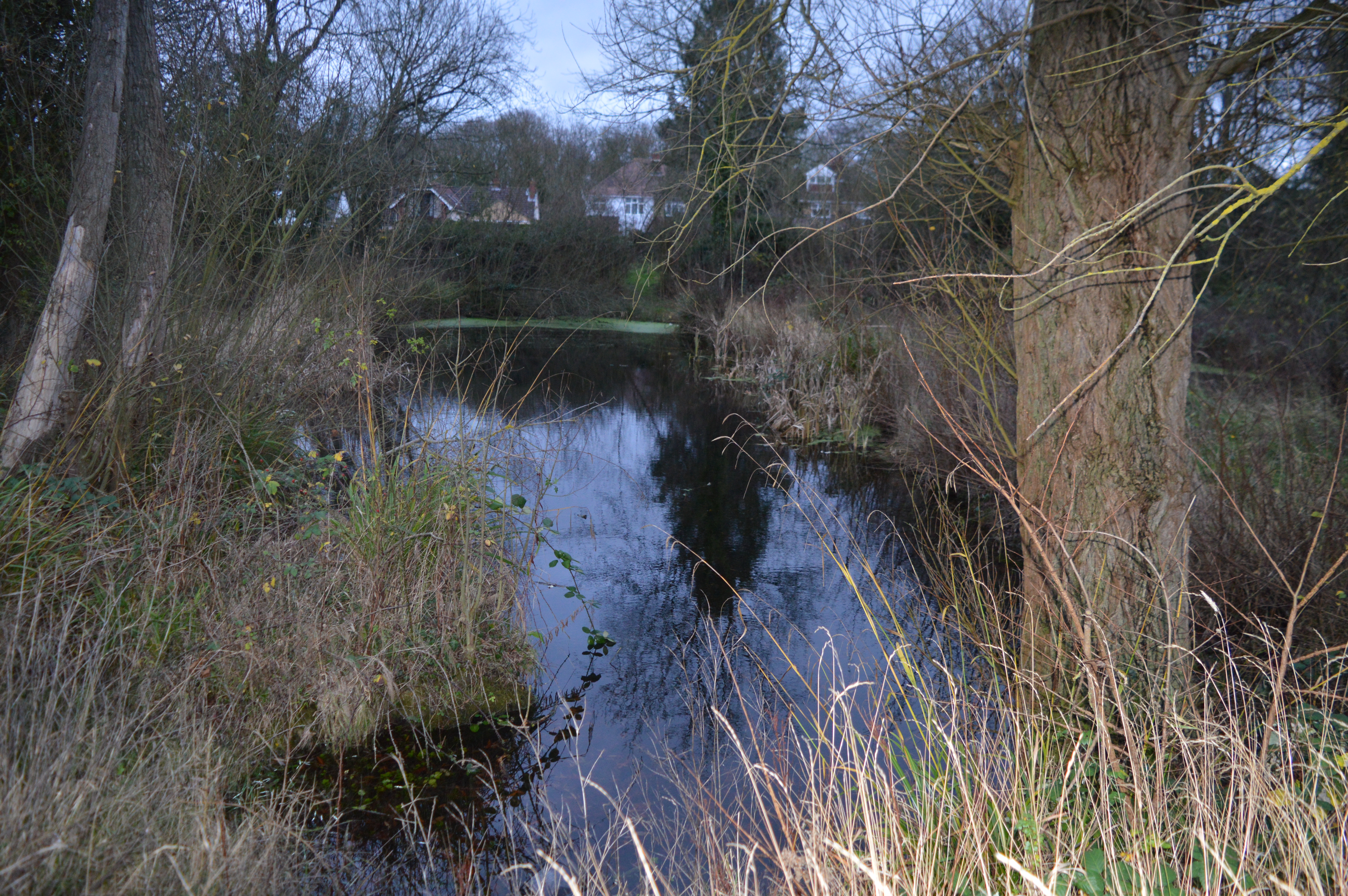
One of the highlights of Gravel Pit Spinney is its tranquil pond, which is nestled amidst the trees. The pond attracts a range of wildlife, including frogs, newts, and dragonflies. It provides a peaceful spot for visitors to relax and take in the natural beauty of the surroundings.

In addition to its natural beauty, Gravel Pit Spinney also has cultural and historical significance. The site was once an active gravel pit, hence its name, but has since been reclaimed by nature. It serves as a reminder of the area's industrial past and the resilience of nature to reclaim and rejuvenate damaged landscapes.

Overall, Gravel Pit Spinney is a hidden gem in Bedfordshire, offering visitors a chance to immerse themselves in nature, explore the woodland trails, and enjoy the peaceful ambiance of this beautiful forest.

If you have any feedback on the listing, please let us know in the comments section below.

Gravel Pit Spinney Images

Images are sourced within 2km of 52.130261/-0.38745573 or Grid Reference TL1049. Thanks to Geograph Open Source API. All images are credited.

Path towards the Great Ouse
River Great Ouse
River Great Ouse
Willington Stables
Willington Stables
Willington Looking west (towards Bedford) on the footpath that crosses a backwater of the River Great Ouse, north of the village of Willington.
Willington
Looking west (towards Bedford) on the footpath that crosses a backwater of the River Great Ouse, north of the village of Willington.
Footpath? The footpath is clear until it reaches a healthy crop of field beans.
Footpath?
The footpath is clear until it reaches a healthy crop of field beans.
All Saints Cople
All Saints Cople
The Five Bells Cople
Gravel Pit Entrance
Gravel Pit Entrance
St Lawrence Willington
Middle Farm entrance
Mills Lane/Bedford Road Junction Willington
Lock near Willington As seen from a footpath (which is part of the national cycle network).
Lock near Willington
As seen from a footpath (which is part of the national cycle network).
Old Stables National Trust, apparently. In Willington
Old Stables
National Trust, apparently. In Willington
The five bells Cople
The five bells
Cople
Interesting house Built like a watermill, or converted from one
Interesting house
Built like a watermill, or converted from one
Gravel pit SE of Bedford in the terraces of the Gt Ouse on the site of the Castle Mill airfield.
Gravel pit SE of Bedford in the terraces of the Gt Ouse
on the site of the Castle Mill airfield.
Soil profile in river alluvium, Gt Ouse floodplain SE of Bedford The soil type is Fladbury series, pelo-alluvial gley soils. The dark brown topsoil overlies non-calcareous clay to 43 cm depth; grey mottled clay extends to 80 cm depth; pale colours in the calcareous clay down to 120 cm are caused by concretions of secondary calcium carbonate and coarse rusty mottles are prominent.  The clays have strongly developed prismatic structure with clear vertical cracking in the upper subsoil, becoming angular blocky in the lower subsoil. The oldest dark grey alluvial deposit near the base is rich in organic matter.  The whole alluvial sequence overlies Devensian sands and gravels.
Soil profile in river alluvium, Gt Ouse floodplain SE of Bedford
The soil type is Fladbury series, pelo-alluvial gley soils. The dark brown topsoil overlies non-calcareous clay to 43 cm depth; grey mottled clay extends to 80 cm depth; pale colours in the calcareous clay down to 120 cm are caused by concretions of secondary calcium carbonate and coarse rusty mottles are prominent. The clays have strongly developed prismatic structure with clear vertical cracking in the upper subsoil, becoming angular blocky in the lower subsoil. The oldest dark grey alluvial deposit near the base is rich in organic matter. The whole alluvial sequence overlies Devensian sands and gravels.
Willington Quarry Entrance to Willington Quarry, from near where their driveway crosses the main bedford-sandy cycle path
Willington Quarry
Entrance to Willington Quarry, from near where their driveway crosses the main bedford-sandy cycle path
Show me another place!

Gravel Pit Spinney is located at Grid Ref: TL1049 (Lat: 52.130261, Lng: -0.38745573)

Unitary Authority: Bedford

Police Authority: Bedfordshire

What 3 Words

///ideas.scenes.hidden. Near Cople, Bedfordshire

Nearby Locations

Gravel Pit Spinney

Related Wikis

Cople Pits

Cople Pits is a 2-hectare (4.9-acre) nature reserve in Cople in Bedfordshire. It is managed by the Wildlife Trust for Bedfordshire, Cambridgeshire and...

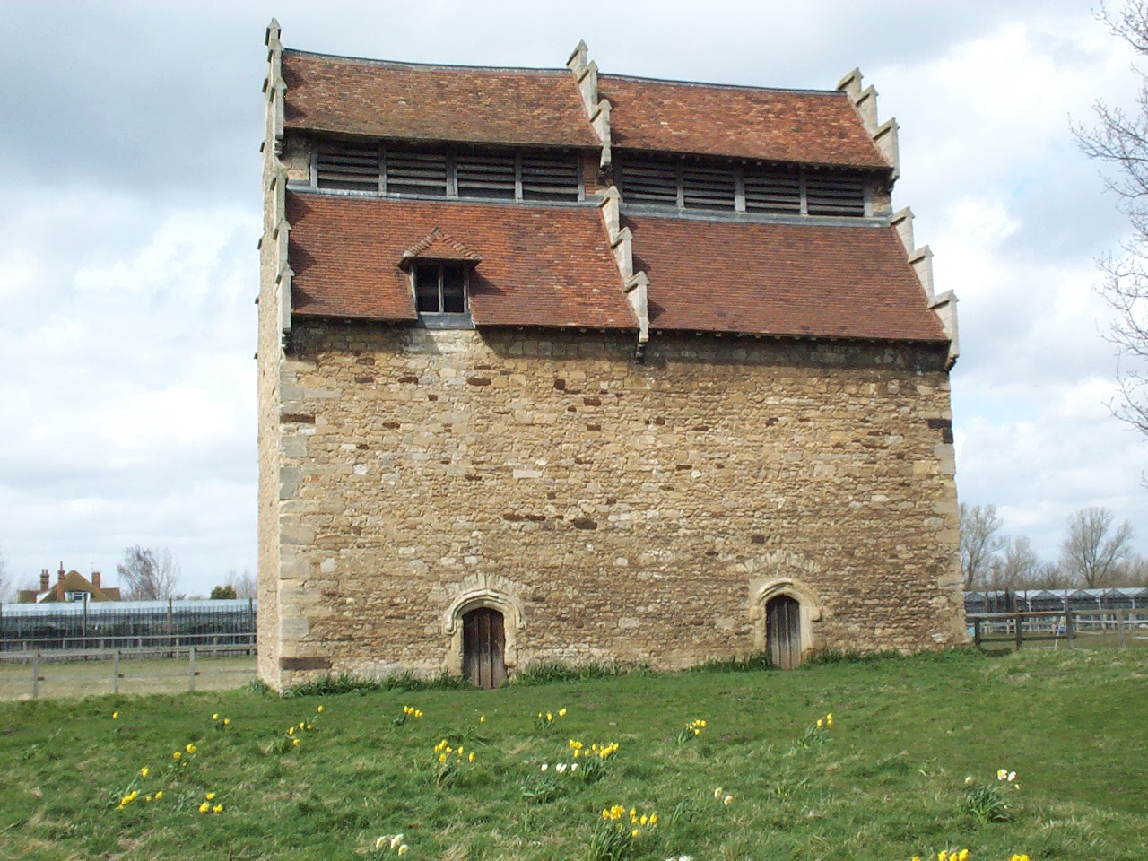
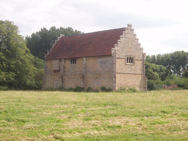
Willington Dovecote and Stables

Willington Dovecote & Stables is a National Trust property located in Willington, near Bedford, Bedfordshire, England. Both buildings are Grade I listed...

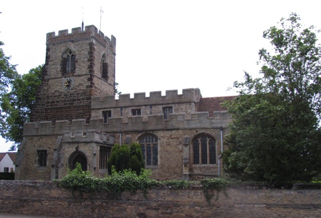
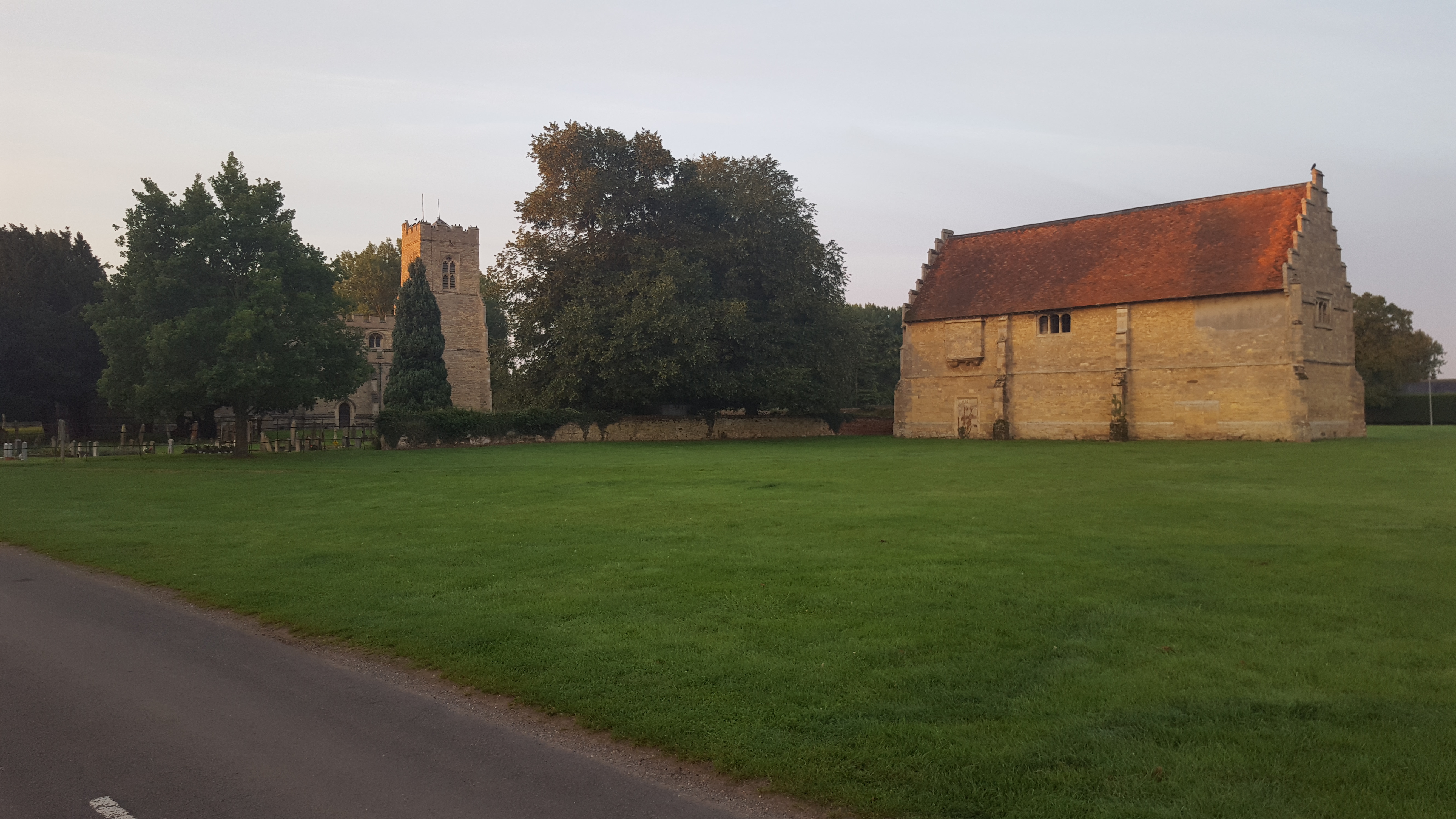
Church of All Saints, Cople

Church of All Saints is a Grade I listed church in Cople, Bedfordshire, England. It became a listed building on 13 July 1964. The church, dedicated to...

Cople

Cople is a village and civil parish in the English county of Bedfordshire. The name Cople is derived from the phrase Cock Pool, a place where chickens...

Willington, Bedfordshire

Willington is a village and civil parish located in the English county of Bedfordshire. It is west of Moggerhanger on the road from Sandy to Bedford. The...

Willington railway station (Bedfordshire)

Willington was a railway station on the Varsity Line which served the small village of the same name in Bedfordshire. Opened in 1903, the station was located...

Biggleswade F.C.

Biggleswade Football Club is a football club based in Biggleswade, Bedfordshire, England. The club are currently members of the Southern League Division...

Bedford Town F.C.

Bedford Town Football Club is a football club based in the Borough of Bedford, England. The club are currently members of the Southern League Division...

Nearby Amenities

Located within 500m of 52.130261,-0.38745573
Marker: bridleway_post
Source: GPS waypoint
Upload Tag: 2006-12-02
Lat/Long: 52.130478/-0.39351
Created By: almien_upload
Marker: bridleway_post
Source: GPS waypoint
Upload Tag: 2006-12-02
Lat/Long: 52.132522/-0.393387
Place: farm
Lat/Long: 52.1287024/-0.382163
Post Box
Brand: Royal Mail
Brand Wikidata: Q638098
Collection Times: Mo-Fr 17:15; Sa 10:45
Operator: Royal Mail
Operator Wikidata: Q638098
Post Box Type: lamp
Ref: MK44 323
Royal Cypher: EIIR
Royal Cypher Wikidata: Q33102113
Source: survey
Survey Date: 2016-05-07
Lat/Long: 52.128756/-0.3884777
Cafe
Blossom Cafe
Addr City: Willington
Addr Country: GB
Addr Housenumber: 109
Addr Postcode: MK44 3PR
Addr Street: Bedford Road
Fhrs Authority: Bedford
Fhrs Id: 111254
Fhrs Local Authority Id: 40748
Lat/Long: 52.131453/-0.3823704
Bus Stop
Bus: yes
Naptan AtcoCode: 020033022
Naptan NaptanCode: bfsajtaj
Public Transport: platform
Lat/Long: 52.1309655/-0.3890387
Bus Stop
Bus: yes
Public Transport: platform
Lat/Long: 52.1314464/-0.3870951
The data included in this document is from www.openstreetmap.org. The data is made available under ODbL.

Have you been to Gravel Pit Spinney?

Leave your review of Gravel Pit Spinney below (or comments, questions and feedback).