Skillings Wood

Wood, Forest in Yorkshire

England

Skillings Wood

Walking  along  Out  Gates  toward  Harpham Flat and mainly arable
Walking along Out Gates toward Harpham Credit: Martin Dawes

The requested URL returned error: 429 Too Many Requests

If you have any feedback on the listing, please let us know in the comments section below.

Skillings Wood Images

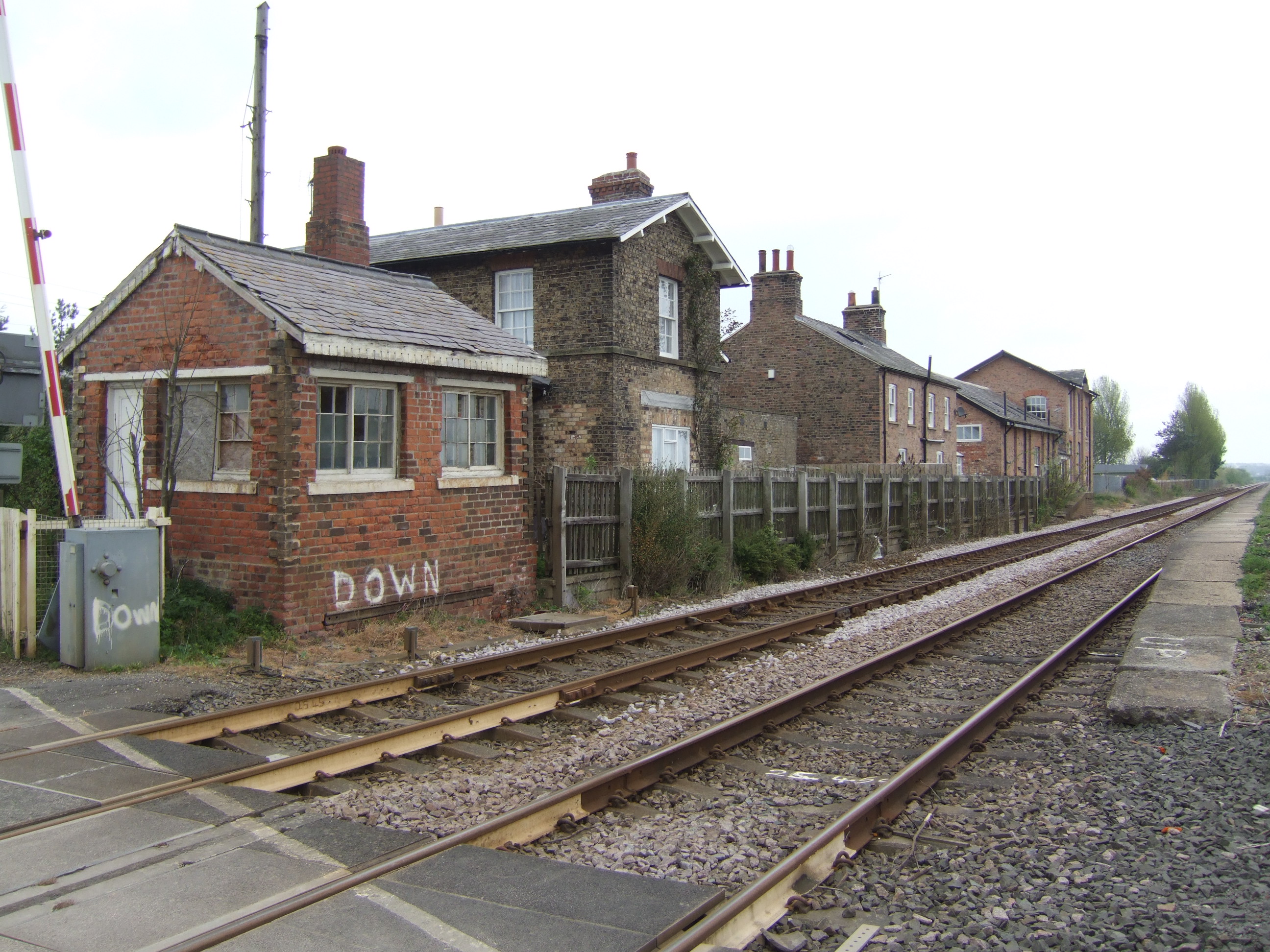
Images are sourced within 2km of 54.039943/-0.31552283 or Grid Reference TA1061. Thanks to Geograph Open Source API. All images are credited.

Walking  along  Out  Gates  toward  Harpham Flat and mainly arable
Walking along Out Gates toward Harpham
Flat and mainly arable
Former  farmyard  entrance  to  Manor  Farm Manor Farm, yards and outbuildings has been sold for redevelopment some time ago. Now protected, have they had problems?
Former farmyard entrance to Manor Farm
Manor Farm, yards and outbuildings has been sold for redevelopment some time ago. Now protected, have they had problems?
St Quinten Arms in Harpham  A 13th century coaching inn in the village of Harpham, the supposed birthplace of Bishop John of York in 640AD.
St Quinten Arms in Harpham
A 13th century coaching inn in the village of Harpham, the supposed birthplace of Bishop John of York in 640AD.
St John's Church, Harpham The church in the village dates from Norman times and some stonework exists in the outer wall with the nave having a small Norman window. The church was remodelled in the fourteenth century. As with many churches of that era, it has since undergone several restorations. 
The church contains many memorials to members of the St Quintin family who were Lords of Harpham and later Scampston. See <span class="nowrap"><a title="https://www.stquintinarms.com/history" rel="nofollow ugc noopener" href="https://www.stquintinarms.com/history">Link</a><img style="margin-left:2px;" alt="External link" title="External link - shift click to open in new window" src="https://s1.geograph.org.uk/img/external.png" width="10" height="10"/></span> for more.
St John's Church, Harpham
The church in the village dates from Norman times and some stonework exists in the outer wall with the nave having a small Norman window. The church was remodelled in the fourteenth century. As with many churches of that era, it has since undergone several restorations. The church contains many memorials to members of the St Quintin family who were Lords of Harpham and later Scampston. See LinkExternal link for more.
A Poultry Farm near Little Kelk
St John's, Harpham
St John's, Harpham
St Quintin Arms Inn, Harpham
Harpham village  notice board
Harpham village notice board
A footpath to Lowthorpe
A path from Station Road to Harpham
Ordnance Survey  Flush Bracket S6564 This bracket can be found on the wall of St John's Church.
For more detail see : <span class="nowrap"><a title="http://www.bench-marks.org.uk/bm11499" rel="nofollow ugc noopener" href="http://www.bench-marks.org.uk/bm11499">Link</a><img style="margin-left:2px;" alt="External link" title="External link - shift click to open in new window" src="https://s1.geograph.org.uk/img/external.png" width="10" height="10"/></span>
Ordnance Survey Flush Bracket S6564
This bracket can be found on the wall of St John's Church. For more detail see : LinkExternal link
Ordnance Survey Cut Mark This mark can be found on a building at the north-east corner of the crossroads.
For more detail see : <span class="nowrap"><a title="http://www.bench-marks.org.uk/bm44341" rel="nofollow ugc noopener" href="http://www.bench-marks.org.uk/bm44341">Link</a><img style="margin-left:2px;" alt="External link" title="External link - shift click to open in new window" src="https://s1.geograph.org.uk/img/external.png" width="10" height="10"/></span>
Ordnance Survey Cut Mark
This mark can be found on a building at the north-east corner of the crossroads. For more detail see : LinkExternal link
Butt  Balk  the  lane  from  Harpham  to  the  A164
Butt Balk the lane from Harpham to the A164
Sandy  Lane  (track)  north  of  the  A614
Sandy Lane (track) north of the A614
Burntmill  Bridge  (Footbridge) Footpath to Station Road, over Lowthorpe Beck.
Burntmill Bridge (Footbridge)
Footpath to Station Road, over Lowthorpe Beck.
Lowthorpe  Beck  from  Burntmill  Bridge
Lowthorpe Beck from Burntmill Bridge
Drummer's Well Within the railed enclosure is a well. It is said to have received its name after the Lord of the Manor, a member of the St. Quintin family, while watching archery practice, accidentally caught his drummer boy who then fell into the well and drowned.
Drummer's Well
Within the railed enclosure is a well. It is said to have received its name after the Lord of the Manor, a member of the St. Quintin family, while watching archery practice, accidentally caught his drummer boy who then fell into the well and drowned.
Show me another place!

Skillings Wood is located at Grid Ref: TA1061 (Lat: 54.039943, Lng: -0.31552283)

Division: East Riding

Unitary Authority: East Riding of Yorkshire

Police Authority: Humberside

What 3 Words

///booklets.cult.swordfish. Near Carnaby, East Yorkshire

Related Wikis

Burton Agnes railway station

Burton Agnes railway station was a minor railway station serving the village of Burton Agnes on the Yorkshire Coast Line from Scarborough to Hull and was...

Harpham

Harpham is a small village and civil parish in the East Riding of Yorkshire, England. It is located just south of the A614 road, approximately 5 miles...

Burton Agnes

Burton Agnes (named after Agnes de Percy) is a village and civil parish in the East Riding of Yorkshire, England. It is situated on the A614 road midway...

Burton Agnes Manor House

Burton Agnes Manor House is an English Heritage property, located in the village of Burton Agnes, East Riding of Yorkshire, England only a few yards away...

Nearby Amenities

Located within 500m of 54.039943,-0.31552283
Harpham LC
Railway: crossing
Lat/Long: 54.0402585/-0.3160837
Moor House Field
Place: locality
Lat/Long: 54.0376403/-0.3129646
Harpham LC
Railway: crossing
Lat/Long: 54.0402554/-0.3161498
The data included in this document is from www.openstreetmap.org. The data is made available under ODbL.

Have you been to Skillings Wood?

Leave your review of Skillings Wood below (or comments, questions and feedback).