Great Furzefield Wood

Wood, Forest in Hertfordshire St. Albans

England

Great Furzefield Wood

Pylon and copse Looking North from TL117043, we see the power lines jump over a little copse. That's pretty much the most significant landmark in the grid square.
Pylon and copse Credit: Rob Hinkley

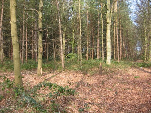
Great Furzefield Wood is a beautiful woodland located in Hertfordshire, England. Covering an area of approximately 100 acres, it is a significant part of the local landscape and a popular destination for nature enthusiasts and hikers alike.

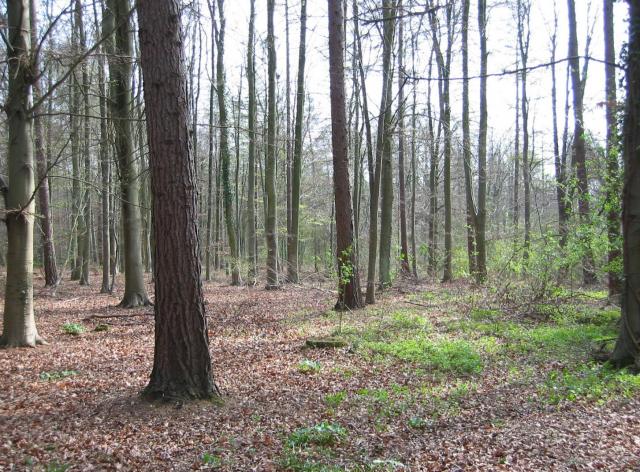
The wood is characterized by its diverse range of trees, including oak, beech, and birch, which provide a rich and vibrant habitat for various wildlife species. The forest floor is adorned with a carpet of bluebells during the spring months, creating a picturesque and enchanting scene.

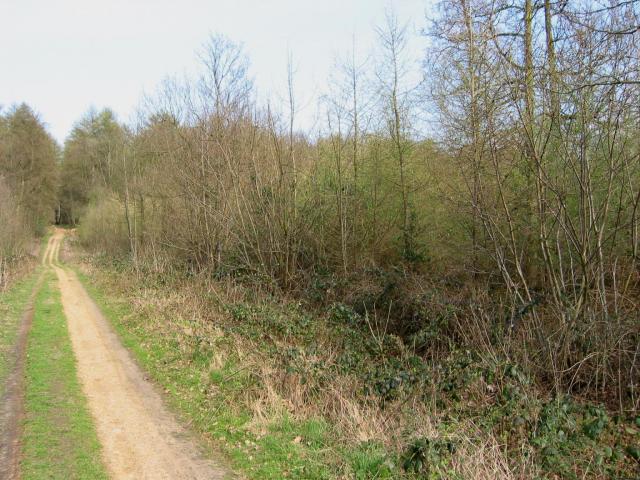
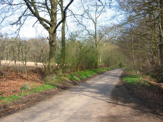
Trails wind their way through the wood, offering visitors the opportunity to explore its tranquil surroundings and discover its hidden treasures. The paths are well-maintained and suitable for walkers of all ages and abilities.

Great Furzefield Wood also boasts a small pond, which is home to a variety of aquatic plants and insects. This provides a valuable habitat for amphibians and birds, adding to the biodiversity of the area.

The woodland is managed by a local conservation group, ensuring its preservation and protection for future generations to enjoy. It is a designated Site of Special Scientific Interest (SSSI), highlighting its importance in terms of ecological significance.

Overall, Great Furzefield Wood is a haven of natural beauty and tranquility. With its diverse flora and fauna, well-maintained trails, and serene atmosphere, it offers visitors a unique opportunity to connect with nature and escape the hustle and bustle of everyday life.

If you have any feedback on the listing, please let us know in the comments section below.

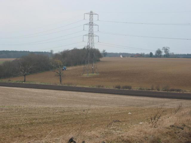
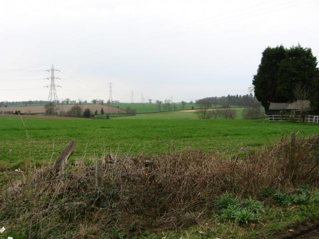
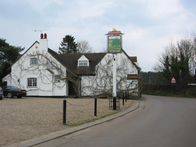
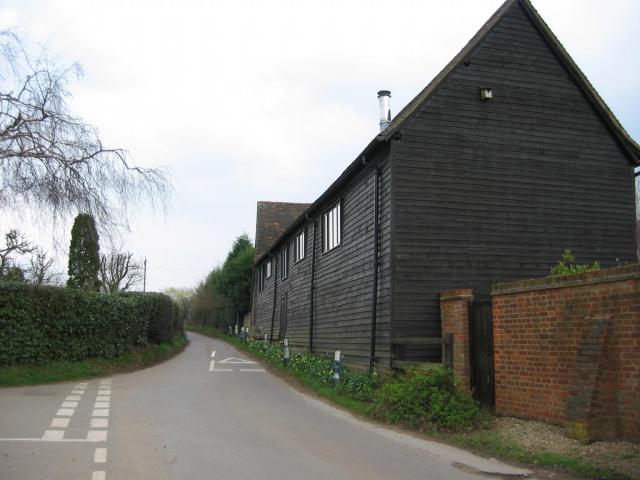
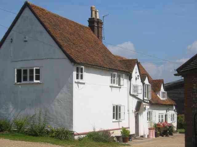
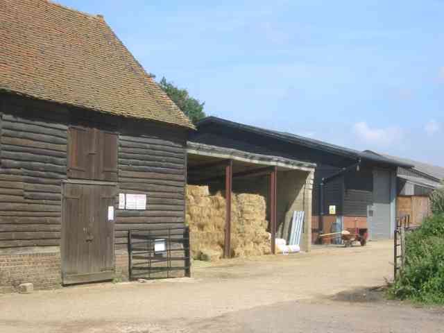
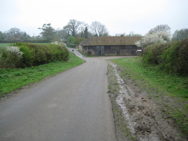
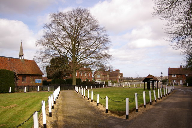
Great Furzefield Wood Images

Images are sourced within 2km of 51.737661/-0.40272894 or Grid Reference TL1005. Thanks to Geograph Open Source API. All images are credited.

Pylon and copse Looking North from TL117043, we see the power lines jump over a little copse. That's pretty much the most significant landmark in the grid square.
Pylon and copse
Looking North from TL117043, we see the power lines jump over a little copse. That's pretty much the most significant landmark in the grid square.
Farmland, farmland... Looking NW from the track at TL107064 by Hill End Farm (buildings at right).
Farmland, farmland...
Looking NW from the track at TL107064 by Hill End Farm (buildings at right).
The 'Holly Bush' at Potters Crouch The 'Holly Bush' pub at Potters Crouch: a village of about 4 houses.
And yes, Potters Crouch is its real name - I'm not making it up.
The 'Holly Bush' at Potters Crouch
The 'Holly Bush' pub at Potters Crouch: a village of about 4 houses. And yes, Potters Crouch is its real name - I'm not making it up.
Barn-like house, Potters Crouch Looking East into Potters Crouch on the road from Bedmond (at TL114052).
Barn-like house, Potters Crouch
Looking East into Potters Crouch on the road from Bedmond (at TL114052).
Corrugated tin church, Bedmond The Church Of The Ascension at Bedmond, in the NE corner of the grid square, is very small and seems to be built almost entirely from sheets of corrugated metal.
Corrugated tin church, Bedmond
The Church Of The Ascension at Bedmond, in the NE corner of the grid square, is very small and seems to be built almost entirely from sheets of corrugated metal.
Tin church, Bedmond Another photo of the little sheet-metal church in Bedmond.
Tin church, Bedmond
Another photo of the little sheet-metal church in Bedmond.
Potterscrouch Plantations Looking East from the forestry track in Potterscrouch Plantations at TL104047.
Potterscrouch Plantations
Looking East from the forestry track in Potterscrouch Plantations at TL104047.
Plantation Looking SW from the track through the woods at TL104047.
Plantation
Looking SW from the track through the woods at TL104047.
New growth in plantation Looking E along the track in the woods at about TL105053. Not the classiest woods, mind you - they seem to be a popular venue for fly-tipping and burning cars, to judge by patches of wreckage.
New growth in plantation
Looking E along the track in the woods at about TL105053. Not the classiest woods, mind you - they seem to be a popular venue for fly-tipping and burning cars, to judge by patches of wreckage.
Road from Potters Crouch to Chiswell Green Looking East from TL123052 with copse on the right, open field and then woods on the left.
Road from Potters Crouch to Chiswell Green
Looking East from TL123052 with copse on the right, open field and then woods on the left.
The "Funny Farm"  Bedmond I presume that this farm is available for children
that hands on stuff
The "Funny Farm" Bedmond
I presume that this farm is available for children that hands on stuff
White Hart Inn Bedmond Just a confirmation that it exists.
White Hart Inn Bedmond
Just a confirmation that it exists.
The Swan Inn, Pimlico  Herts Evidence that the people of Pimlico get thirsty
The Swan Inn, Pimlico Herts
Evidence that the people of Pimlico get thirsty
Village welcome sign to Nash Mills The entrance is into Bunkers Lane but Nash Mills itself is some 4 kilometres away
Village welcome sign to Nash Mills
The entrance is into Bunkers Lane but Nash Mills itself is some 4 kilometres away
The composting facility This establishment with the huge piles of composting material implies that the stuff isn't 
getting into the commercial circuit.
The composting facility
This establishment with the huge piles of composting material implies that the stuff isn't getting into the commercial circuit.
Bridge over Beechtree Lane The design of this bridge carrying the M10 just before it merges with the M1 is typical of the period with the rustications
Bridge over Beechtree Lane
The design of this bridge carrying the M10 just before it merges with the M1 is typical of the period with the rustications
Westwick Row Farm The M1 motorway passes very close to the house
Westwick Row Farm
The M1 motorway passes very close to the house
Westwick Row Farm The farm yard has a neat and tidy appearance .perhaps due to its close proximity to the lane.
Westwick Row Farm
The farm yard has a neat and tidy appearance .perhaps due to its close proximity to the lane.
Show me another place!

Great Furzefield Wood is located at Grid Ref: TL1005 (Lat: 51.737661, Lng: -0.40272894)

Administrative County: Hertfordshire

District: St. Albans

Police Authority: Hertfordshire

What 3 Words

///washed.press.eaten. Near Hemel Hempstead, Hertfordshire

Related Wikis

International Crown

The Hanwha LifePlus International Crown is a biennial women's professional team golf tournament on the LPGA Tour. Eight national teams of four players...

Centurion Club

The Centurion Club is a golf club in Hemel Hempstead in Hertfordshire. The club opened in 2013. It has hosted the GolfSixes series in 2017 and 2018 and...

Potters Crouch

Potters Crouch is a small hamlet in Hertfordshire, England, south-west of St Albans near Chiswell Green. It is in the civil parish of St Michael. ��2...

Westwick Row

Westwick Row is a place in Hertfordshire, in England. It is situated on the edge of Hemel Hempstead. Westwick Row today is a narrow rural lane in the village...

St Michael, Hertfordshire

St Michael is a civil parish in the St Albans district in Hertfordshire, England. The parish is named after but no longer includes St Michael's Church...

Bedmond

Bedmond is a village in the Three Rivers district of the English ceremonial county of Hertfordshire. It is located around one mile (1.6 km) north of the...

Leverstock Green F.C.

Leverstock Green Football Club is a football club based in the Leverstock Green suburb of Hemel Hempstead, Hertfordshire, England. They are currently members...

M10 motorway (Great Britain)

The M10 was a motorway in Hertfordshire, England, running for approximately 3 miles (4.5 km) from the M1 motorway at junction 7 near Hemel Hempstead to...

Nearby Amenities

Located within 500m of 51.737661,-0.40272894
Power: tower
Lat/Long: 51.7378913/-0.3964666
Power: tower
Lat/Long: 51.7403631/-0.3976008
Bus Stop
Beechtree Cottages
Naptan AtcoCode: 210021502800
Naptan Bearing: E
Naptan BusStopType: CUS
Naptan CommonName: Beechtree Cottages
Naptan Crossing: opp Beechtree Cottages
Naptan Indicator: opp
Naptan Landmark: opp Beechtree Cottages
Naptan NaptanCode: hrtawtma
Naptan ShortCommonName: NA
Naptan Street: Hemel Hempstead Road
Naptan Verified: no
Public Transport: platform
Source: naptan_import
Lat/Long: 51.7417984/-0.4051493
Bus Stop
Beechtree Cottages
Naptan AtcoCode: 210021508920
Naptan Bearing: W
Naptan CommonName: Beechtree Cottages
Naptan Crossing: Beechtree Cottages
Naptan Indicator: adj
Naptan Landmark: Beechtree Cottages
Naptan NaptanCode: hrtatwdt
Naptan ShortCommonName: NA
Naptan Street: Hemel Hempstead Road
Naptan Verified: no
Public Transport: platform
Source: naptan_import
Lat/Long: 51.741727/-0.4051779
Fixme: solar panel? odd choice of N-facing roof...
Lat/Long: 51.741195/-0.4063424
Marker: post
Substance: oil
Utility: oil
Lat/Long: 51.7417148/-0.4021926
Marker: post
Substance: oil
Utility: oil
Lat/Long: 51.7417153/-0.4021857
Marker: post
Substance: oil
Utility: oil
Lat/Long: 51.7417153/-0.4021795
Marker: post
Substance: oil
Utility: oil
Lat/Long: 51.7417158/-0.4021726
Marker: aerial
Substance: oil
Utility: oil
Lat/Long: 51.7417368/-0.4021826
Marker: post
Substance: oil
Utility: oil
Lat/Long: 51.741588/-0.4021284
Marker: post
Substance: oil
Utility: oil
Lat/Long: 51.741588/-0.4021222
Marker: post
Substance: oil
Utility: oil
Lat/Long: 51.7415885/-0.4021153
Colour: yellow
Marker: post
Material: plastic
Utility: gas
Lat/Long: 51.7418183/-0.400597
Colour: yellow
Marker: post
Material: plastic
Utility: gas
Lat/Long: 51.7418212/-0.4005717
The data included in this document is from www.openstreetmap.org. The data is made available under ODbL.

Have you been to Great Furzefield Wood?

Leave your review of Great Furzefield Wood below (or comments, questions and feedback).