Northfield Spring
Wood, Forest in Hertfordshire St. Albans
England
Northfield Spring
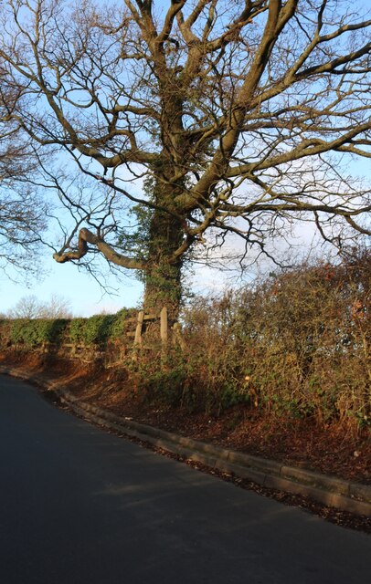
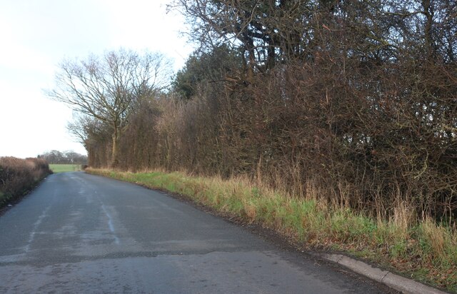
Northfield Spring, located in Hertfordshire, is a picturesque woodland area known for its beautiful array of trees and lush greenery. The forest is situated in the northern part of the county, providing a tranquil and serene environment for visitors to enjoy.
Covering an expansive area, Northfield Spring is home to various species of trees, including oak, beech, and pine. These towering trees create a dense canopy, allowing only dappled sunlight to filter through, giving the forest a mystical and enchanting atmosphere.
The woodland is renowned for its vibrant wildlife, making it a popular destination for nature enthusiasts and birdwatchers. Visitors may spot a variety of bird species, such as woodpeckers, jays, and finches, as well as small mammals like rabbits and squirrels. The diverse ecosystem also supports a range of plant life, with wildflowers and ferns adding bursts of color to the forest floor.
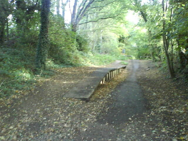
Northfield Spring offers numerous walking trails, allowing visitors to explore the forest at their own pace. These well-maintained paths wind through the trees, providing opportunities for both leisurely strolls and more adventurous hikes. Along the way, visitors will come across tranquil ponds, babbling brooks, and even a small waterfall, adding to the natural beauty of the surroundings.
The forest is also notable for its historical significance, with remnants of ancient settlements and archaeological sites scattered throughout the area. These provide glimpses into the rich history of the region, adding an extra layer of intrigue for history enthusiasts.
Overall, Northfield Spring in Hertfordshire offers a serene and captivating woodland experience, inviting visitors to immerse themselves in the beauty of nature while exploring its diverse wildlife and historical past.
If you have any feedback on the listing, please let us know in the comments section below.
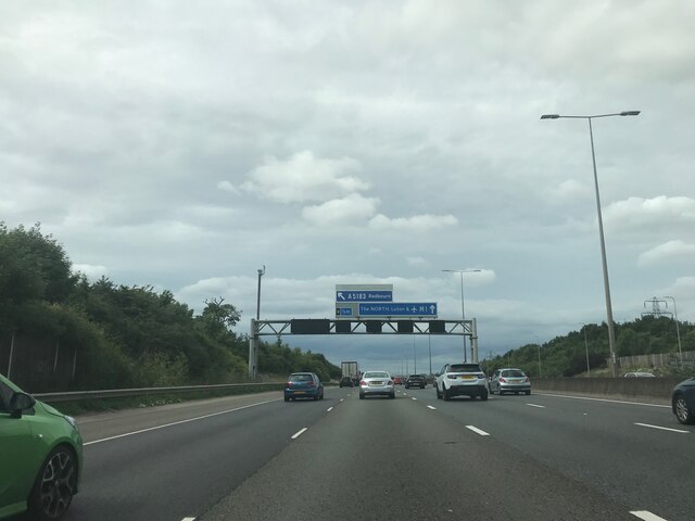
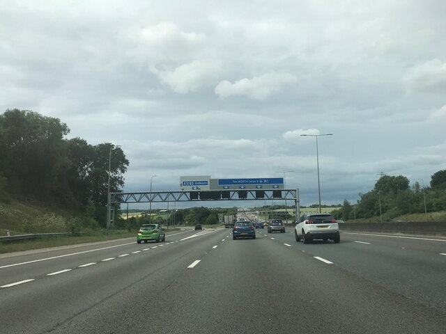
Northfield Spring Images
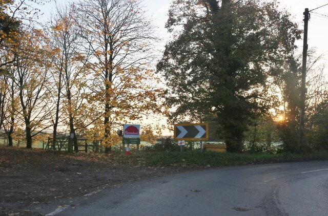
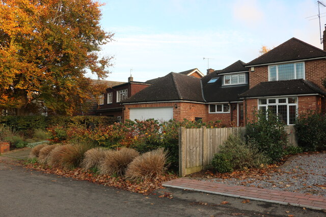
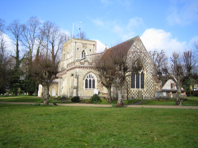
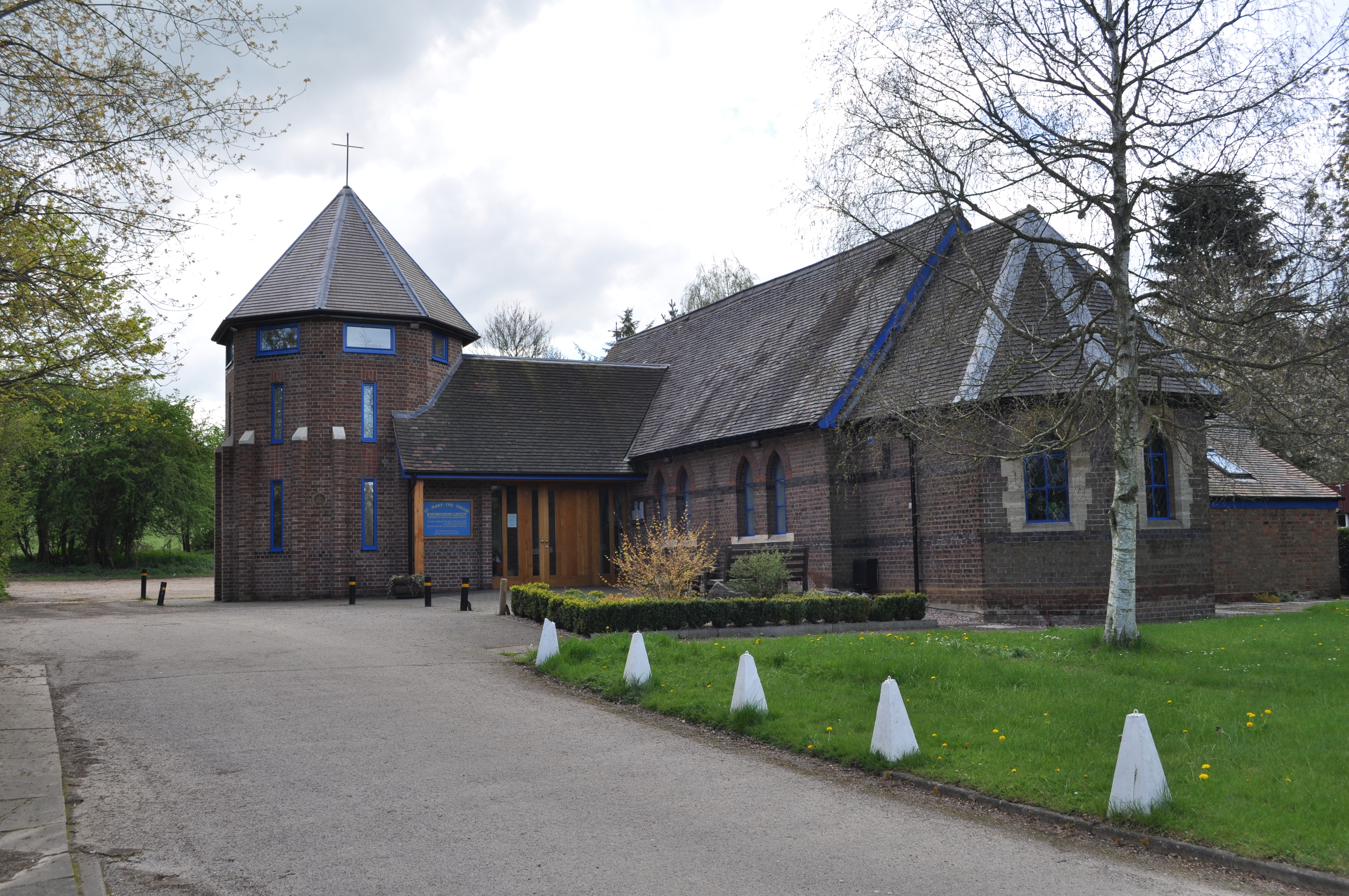
Images are sourced within 2km of 51.814018/-0.40127832 or Grid Reference TL1014. Thanks to Geograph Open Source API. All images are credited.


Northfield Spring is located at Grid Ref: TL1014 (Lat: 51.814018, Lng: -0.40127832)
Administrative County: Hertfordshire
District: St. Albans
Police Authority: Hertfordshire
What 3 Words
///movies.meals.freed. Near Redbourn, Hertfordshire
Nearby Locations
Related Wikis

Harpenden Rural
Harpenden Rural is a civil parish in the City and District of St Albans in Hertfordshire, England, to the west of Harpenden parish. The local council is...
Redbourn
Redbourn is a village and civil parish in Hertfordshire, England, lying on Watling Street, three miles (4.8 km) from Harpenden, four miles (6.4 km) from...
Kinsbourne Green
Kinsbourne Green is a small hamlet to the north-west of Harpenden in Hertfordshire, England. The hamlet is now geographically virtually contiguous with...
Roundwood Park School
Roundwood Park School is a non-selective state secondary school with academy status situated in Harpenden, Hertfordshire, UK. Opened in 1956, it currently...
Redbourn railway station
Redbourn railway station served the village of Redbourn, Hertfordshire, England from 1887 to 1964 on the Nickey Line. == History == The station opened...
Roundwood Halt railway station
Roundwood Halt railway station co-served the town of Harpenden, Hertfordshire, England from 1927 to 1949 on the Nickey Line. == History == The station...

Rothamsted Manor
Rothamsted Manor is a former manor and current manor house, situated in Harpenden Rural in the English county of Hertfordshire. A Grade I listed building...
Harpenden RFC
Harpenden Rugby Football Club is a rugby club based in Harpenden. They play in Regional 1 South East - a league at tier 5 of the English rugby union system...
Nearby Amenities
Located within 500m of 51.814018,-0.40127832Have you been to Northfield Spring?
Leave your review of Northfield Spring below (or comments, questions and feedback).