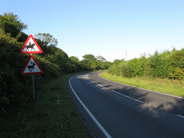
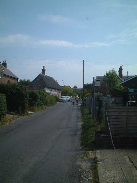
Goring Wood
Wood, Forest in Sussex Worthing
England
Goring Wood
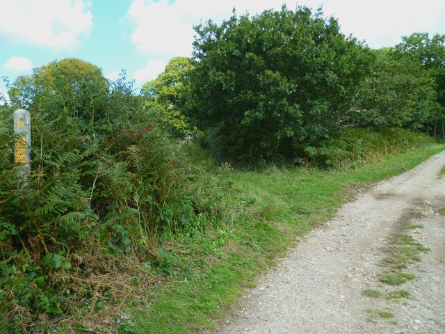
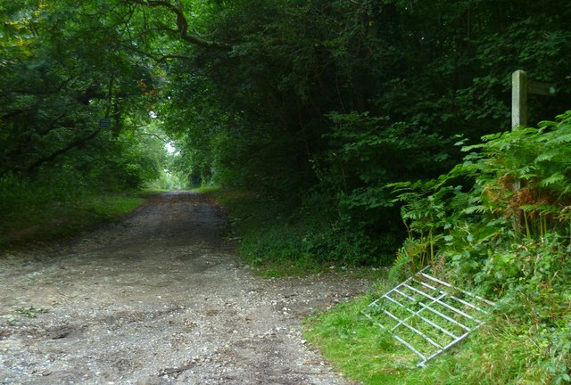
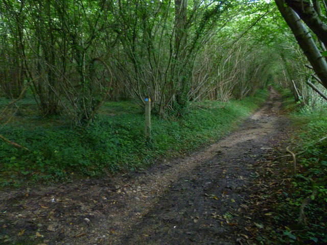
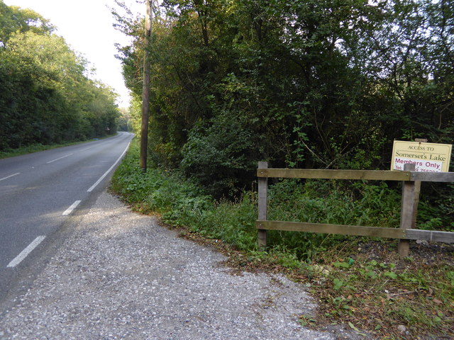
Goring Wood is a picturesque woodland located in Sussex, England. It covers an area of approximately 200 acres and is nestled within the South Downs National Park. The wood is situated near the village of Goring-by-Sea, hence its name.
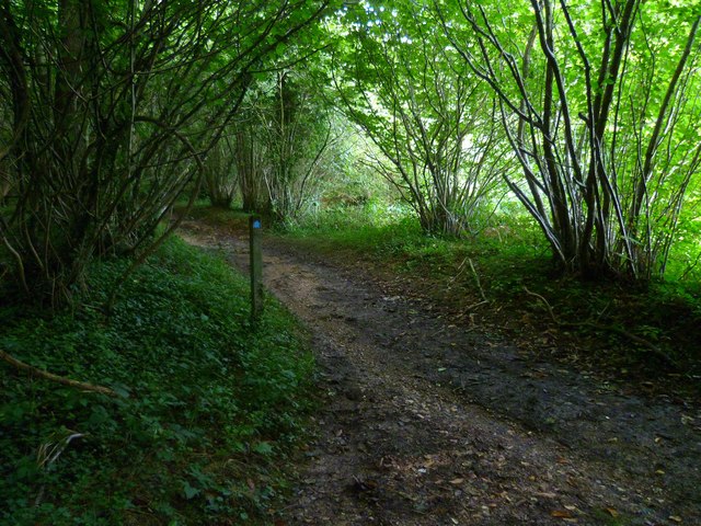
The woodland is predominantly made up of native broadleaf trees, such as oak, beech, and ash, creating a diverse and vibrant ecosystem. Goring Wood is renowned for its rich biodiversity, providing a habitat for a wide range of flora and fauna. It is home to various species of birds, including woodpeckers, owls, and songbirds, making it a haven for birdwatchers and nature enthusiasts.
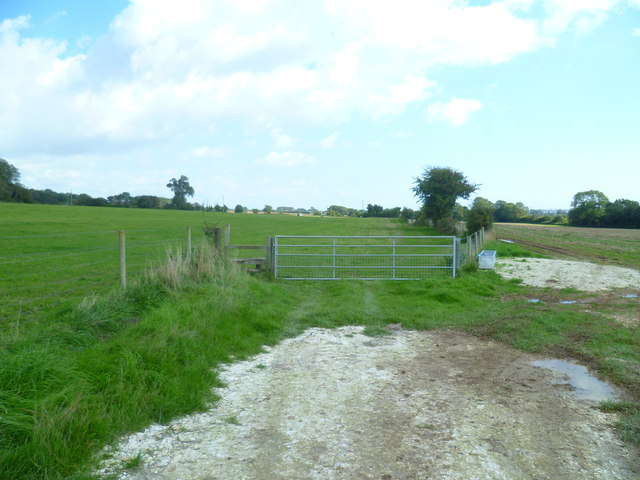
The wood boasts a network of well-maintained footpaths and trails, allowing visitors to explore its natural beauty. Walking through Goring Wood offers a tranquil and peaceful experience, with the gentle sound of leaves rustling in the wind and the occasional glimpse of wildlife.
Additionally, Goring Wood has historical significance. It is believed to have been a part of the ancient woodland that once covered the area. The wood's history can be traced back several centuries, and remnants of old trees and earthworks can still be found within its boundaries.
The wood is managed by a local conservation organization, ensuring its preservation and protection. The organization also organizes educational programs and guided walks to promote awareness and appreciation of the woodland's natural and historical importance.
Overall, Goring Wood is a cherished natural gem in Sussex, offering a serene escape into nature and a glimpse into the region's rich history.
If you have any feedback on the listing, please let us know in the comments section below.
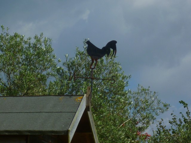
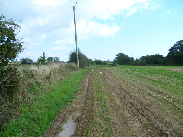
Goring Wood Images
Images are sourced within 2km of 50.837971/-0.43969084 or Grid Reference TQ0905. Thanks to Geograph Open Source API. All images are credited.


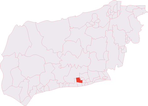
Goring Wood is located at Grid Ref: TQ0905 (Lat: 50.837971, Lng: -0.43969084)
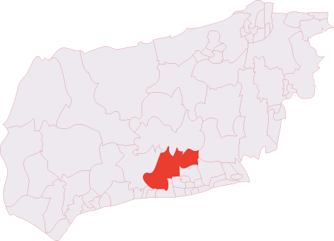
Administrative County: West Sussex
District: Worthing
Police Authority: Sussex
What 3 Words
///watchdogs.escorting.scarred. Near Goring-by-Sea, West Sussex
Nearby Locations
Related Wikis
Titnore Wood
Titnore Wood is an area of ancient woodland to the north-west of Worthing in West Sussex. With neighbouring Goring Wood it forms one of the last remaining...
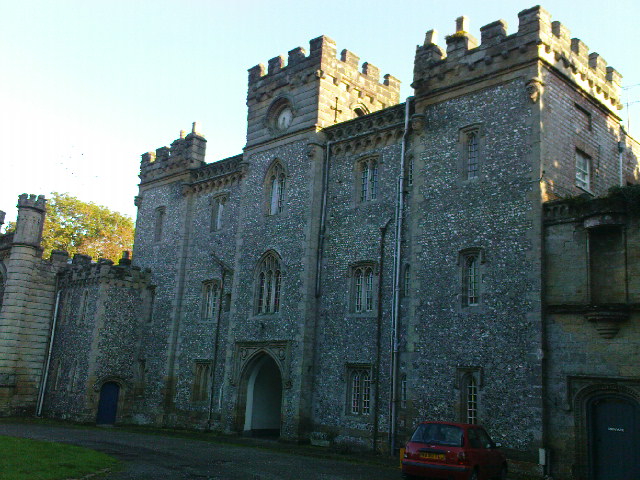
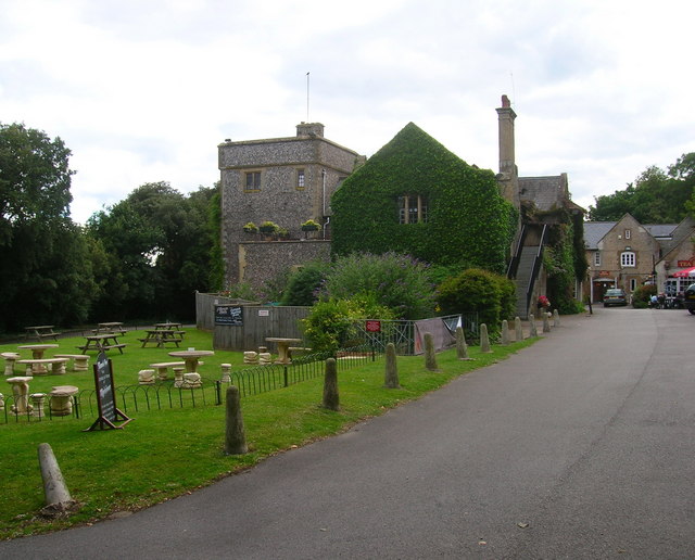
Castle Goring
Castle Goring is a Grade I listed country house in Worthing, in West Sussex, England about 4.5 miles (7 kilometres) northwest of the town centre. One of...
Clapham, West Sussex
Clapham is a rural village and civil parish in the Arun District of West Sussex, England. It lies on varying downslopes and escarpment of the South Downs...
Angmering & Findon (electoral division)
Angmering & Findon is an electoral division of West Sussex in the United Kingdom and returns one member to sit on West Sussex County Council. The current...

Highdown Hill
Highdown Hill is a hill in the South Downs, with a height of 81 metres (266 ft). The summit of the hill and its western slopes lie in the parish of Ferring...
Northbrook (electoral division)
Northbrook is an electoral division of West Sussex in the United Kingdom, and returns one member to sit on West Sussex County Council. == Extent == The...
Sterns Nightclub
Sterns was a nightclub located at Highdown Towers on Highdown Hill in Worthing, West Sussex. It was situated off the A259 road just north of Ferring on...
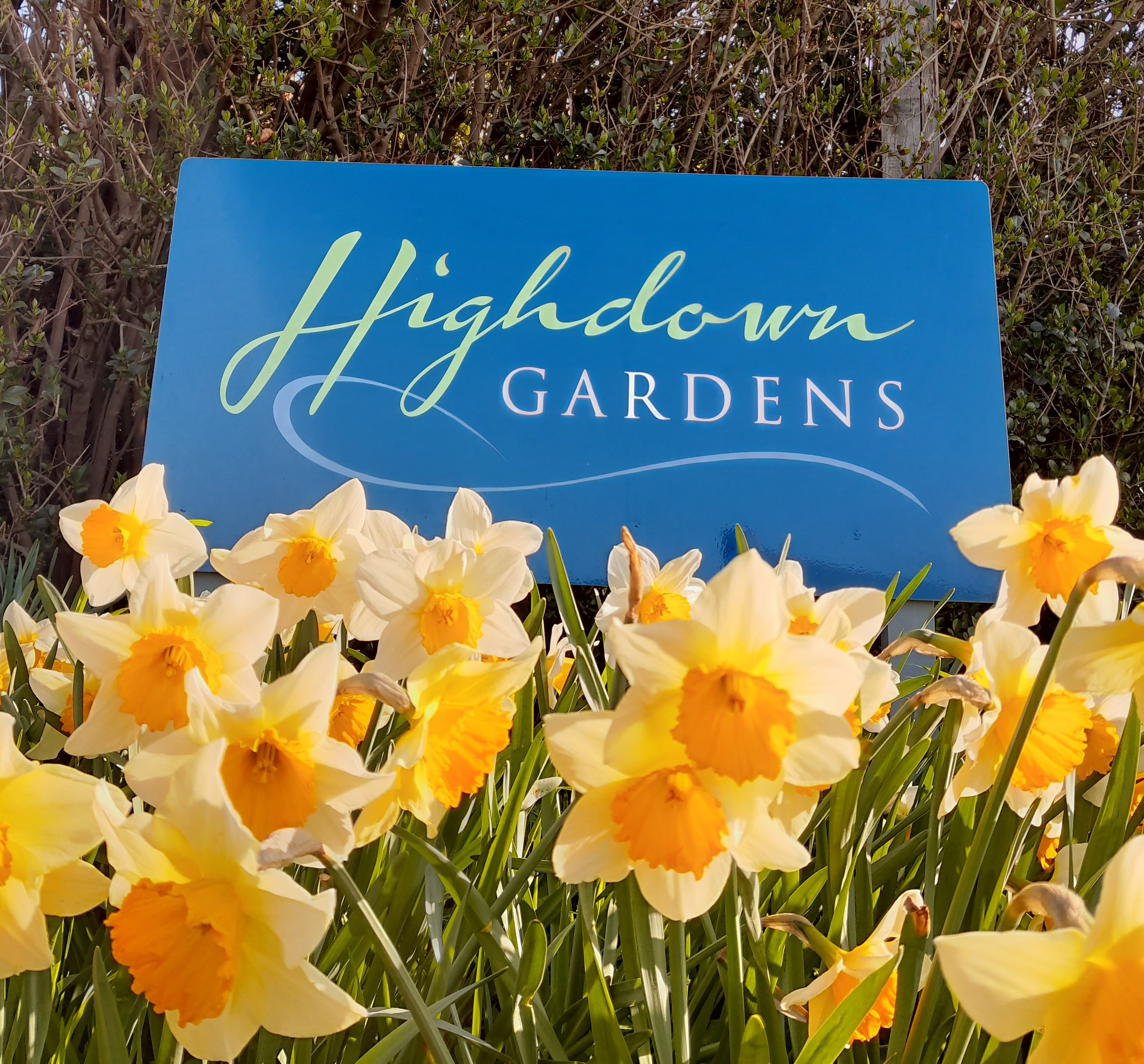
Highdown Gardens
Highdown Gardens are a unique chalk garden set in the South Downs National Park on the western edge of the town of Worthing, close to the village of Ferring...
Nearby Amenities
Located within 500m of 50.837971,-0.43969084Have you been to Goring Wood?
Leave your review of Goring Wood below (or comments, questions and feedback).