Elsea Wood

Wood, Forest in Lincolnshire South Kesteven

England

Elsea Wood

Bourne Town Centre Bourne is a "market town" in south Lincolnshire.  This photograph was taken at the centre of town at the junction of North Street, South Street, West Street and Abbey Road.  In years past the market would have been here, now there is just a dangerous amount of traffic and some shops.
Bourne Town Centre Credit: Tony Atkin

Elsea Wood is a small, picturesque forest located in Lincolnshire, England. Situated near the village of Elsea Park, it covers an area of approximately 23 hectares. The wood is a popular destination for nature lovers and outdoor enthusiasts alike, offering a tranquil and peaceful environment.

The woodland is predominantly made up of broadleaf trees, including oak, ash, birch, and alder. These trees provide a diverse habitat for various species of birds, mammals, and insects. Visitors can often spot woodland birds such as woodpeckers, thrushes, and owls, as well as small mammals like squirrels and foxes.

There are several well-maintained footpaths and trails that wind their way through Elsea Wood, allowing visitors to explore the area and enjoy the natural beauty it has to offer. The trails are suitable for walkers of all ages and abilities, with some routes also accessible for wheelchair users.

Within the woodland, there are picnic areas and benches where visitors can take a break and enjoy a picnic surrounded by the sights and sounds of nature. Elsea Wood also has a small pond, which is home to a variety of aquatic plants and insects.

The forest is managed by the local council, which ensures the preservation of the woodland and its biodiversity. Regular maintenance and conservation efforts are carried out to protect the fragile ecosystem of the area.

Overall, Elsea Wood is a delightful destination for those seeking a peaceful escape into nature. With its diverse wildlife, well-maintained trails, and serene atmosphere, it offers a wonderful opportunity to reconnect with the natural world.

If you have any feedback on the listing, please let us know in the comments section below.

Elsea Wood Images

Images are sourced within 2km of 52.751415/-0.37279422 or Grid Reference TF0918. Thanks to Geograph Open Source API. All images are credited.

Bourne Town Centre Bourne is a "market town" in south Lincolnshire.  This photograph was taken at the centre of town at the junction of North Street, South Street, West Street and Abbey Road.  In years past the market would have been here, now there is just a dangerous amount of traffic and some shops.
Bourne Town Centre
Bourne is a "market town" in south Lincolnshire. This photograph was taken at the centre of town at the junction of North Street, South Street, West Street and Abbey Road. In years past the market would have been here, now there is just a dangerous amount of traffic and some shops.
West Street, Bourne, Lincs Taken from the island in the middle of the main junction in Bourne, looking west.
West Street, Bourne, Lincs
Taken from the island in the middle of the main junction in Bourne, looking west.
Public toilets, South Street, Bourne, Lincs
Bourne Eau A pleasant waterside footpath on one side (but alongside the busy A15) and the well-kept Memorial Gardens on the other bank.
Bourne Eau
A pleasant waterside footpath on one side (but alongside the busy A15) and the well-kept Memorial Gardens on the other bank.
The  Old Grain Warehouse, South Road This building has been empty and gradually falling apart for years but has recently sold and this should provide a real change of use/scenery as it is transformed into housing.
The Old Grain Warehouse, South Road
This building has been empty and gradually falling apart for years but has recently sold and this should provide a real change of use/scenery as it is transformed into housing.
Bourne town centre Looking in the opposite direction to the previous photo to show the corner of South Street and West Street
Bourne town centre
Looking in the opposite direction to the previous photo to show the corner of South Street and West Street
Bourne town centre The building on the corner of South Street and West Street which still has old style direction signs at first floor level
Bourne town centre
The building on the corner of South Street and West Street which still has old style direction signs at first floor level
Bourne Baptist Church Founded in 1645, and one of the oldest Baptist fellowships in the country. The present building dates from 1834. <span class="nowrap"><a title="http://www.bournebaptistchurch.org/old/pages/index.php?page=history" rel="nofollow ugc noopener" href="http://www.bournebaptistchurch.org/old/pages/index.php?page=history">Link</a><img style="margin-left:2px;" alt="External link" title="External link - shift click to open in new window" src="https://s1.geograph.org.uk/img/external.png" width="10" height="10"/></span>
Bourne Baptist Church
Founded in 1645, and one of the oldest Baptist fellowships in the country. The present building dates from 1834. LinkExternal link
Buildings on North Street, Bourne
Bourne Police station in context Bourne Police station on West Street, Bourne.  Built in the 1960s
Bourne Police station in context
Bourne Police station on West Street, Bourne. Built in the 1960s
Bourne Police station A quiet Sunday, but a patrol car had just emerged from the back and gone off, lights flashing.  A few moments later, after I had gone, another one did the same and went past me.  You never know when you will need the emergency services!
Bourne Police station
A quiet Sunday, but a patrol car had just emerged from the back and gone off, lights flashing. A few moments later, after I had gone, another one did the same and went past me. You never know when you will need the emergency services!
Bourne Police station: Above the door It seems that the idea of a "Police Station" is old fashioned, and has been replaced by a "Police office".  There is a small counter inside which is occasionally manned, more so than 30 years ago, but frequently you find yourself standing outside these doors talking on a wall-mounted telephone to the control room in Nettleham.  They have trouble even working out where Bourne is.
Bourne Police station: Above the door
It seems that the idea of a "Police Station" is old fashioned, and has been replaced by a "Police office". There is a small counter inside which is occasionally manned, more so than 30 years ago, but frequently you find yourself standing outside these doors talking on a wall-mounted telephone to the control room in Nettleham. They have trouble even working out where Bourne is.
BUC almshouses, West street - the gateway Bourne United Charities date back to various bequests in the 17th century, and provide many facilities in the town, the least well known but most important of which are this group of almshouses in West street built in 1931, and much sought after to this day.
BUC almshouses, West street - the gateway
Bourne United Charities date back to various bequests in the 17th century, and provide many facilities in the town, the least well known but most important of which are this group of almshouses in West street built in 1931, and much sought after to this day.
BUC almshouses, West street - dedication niche Niche in the building in <a href="https://www.geograph.org.uk/photo/2296205">TF0920 : BUC almshouses, West street - the gateway</a> showing date of construction and bronze dedication plaque
BUC almshouses, West street - dedication niche
Niche in the building in TF0920 : BUC almshouses, West street - the gateway showing date of construction and bronze dedication plaque
BUC almshouses, West street - dedication Plaque Bronze plaque for building <a href="https://www.geograph.org.uk/photo/2296205">TF0920 : BUC almshouses, West street - the gateway</a> (see also <a href="https://www.geograph.org.uk/photo/2296229">TF0920 : BUC almshouses, West street - dedication niche</a>).
BUC almshouses, West street - dedication Plaque
BUC almshouses, West street - the quadrangle I'm not sure they don't call it 'the gardens', but they also use that name for the small plot behind the alms houses originally provided for growing food, and where the washing is regularly hung.  The almshouses are arranged around this pleasant square, and form a quiet environment for the inhabitants.
BUC almshouses, West street - the quadrangle
I'm not sure they don't call it 'the gardens', but they also use that name for the small plot behind the alms houses originally provided for growing food, and where the washing is regularly hung. The almshouses are arranged around this pleasant square, and form a quiet environment for the inhabitants.
Village store and Post Office, Thurlby
Maple Avenue, Thurlby
Show me another place!

Elsea Wood is located at Grid Ref: TF0918 (Lat: 52.751415, Lng: -0.37279422)

Administrative County: Lincolnshire

District: South Kesteven

Police Authority: Lincolnshire

What 3 Words

///expose.outhouse.football. Near Thurlby, Lincolnshire

Nearby Locations

Math Wood Elsea Wood

Related Wikis

Nanny Rutt

Nanny Rutt is a character in a cautionary tale associated with Nanny Rutt's well, an artesian spring in Math Wood, near Northorpe, in the parish of Thurlby...

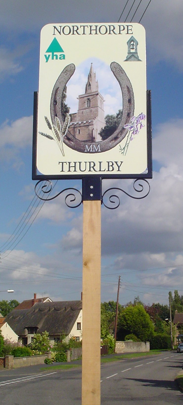
Northorpe, South Kesteven

Northorpe is a hamlet in the civil parish of Thurlby (to which it is conjoined), in the South Kesteven district of Lincolnshire, England. It is situated...

Bourne Grammar School

Bourne Grammar School (BGS) is a co-educational grammar school with academy status on South Road (A15), in Bourne, Lincolnshire, England. The school was...

Bourne railway station

Bourne was a railway station serving the town of Bourne in Lincolnshire, which opened in 1860 and closed to passengers in 1959. == History == The station...

Thurlby, South Kesteven

Thurlby is a village and civil parish in the South Kesteven district of Lincolnshire, England. It is situated just west of the A15 road, 2 miles (3 km...

Bourne Castle

Bourne Castle was a castle in the market town of Bourne in southern Lincolnshire (grid reference TF095199). A Norman castle was built by Baldwin FitzGilbert...

Bourne Abbey

Bourne Abbey and the Parish Church of St. Peter and St. Paul is a scheduled Grade I church in Bourne, Lincolnshire, England. The building remains in parochial...

Bourne Festival

Bourne Festival is an annual music event held in Wellhead Park in the market town of Bourne, Lincolnshire, England. The festival is a charity event organised...

Nearby Amenities

Located within 500m of 52.751415,-0.37279422
Crossing
Bicycle: yes
Crossing: uncontrolled
Crossing Island: yes
Kerb: lowered
Tactile Paving: yes
Lat/Long: 52.7553476/-0.3695008
Crossing
Bicycle: yes
Crossing: uncontrolled
Crossing Island: yes
Kerb: lowered
Tactile Paving: yes
Lat/Long: 52.7554316/-0.3694714
Loading Dock
Access: private
Noexit: yes
Lat/Long: 52.7542748/-0.3678843
Generator Method: photovoltaic
Generator Output Electricity: yes
Generator Source: solar
Generator Type: solar_photovoltaic_panel
Location: roof
Power: generator
Lat/Long: 52.7557148/-0.3738432
Generator Method: photovoltaic
Generator Output Electricity: yes
Generator Source: solar
Generator Type: solar_photovoltaic_panel
Location: roof
Power: generator
Lat/Long: 52.7556294/-0.3725209
Generator Method: photovoltaic
Generator Output Electricity: yes
Generator Source: solar
Generator Type: solar_photovoltaic_panel
Location: roof
Power: generator
Lat/Long: 52.7556482/-0.3727382
Generator Method: photovoltaic
Generator Output Electricity: yes
Generator Source: solar
Generator Type: solar_photovoltaic_panel
Location: roof
Power: generator
Lat/Long: 52.7557457/-0.373944
Entrance: main
Lat/Long: 52.7548551/-0.3680635
Entrance: yes
Lat/Long: 52.7546089/-0.3689587
Entrance: yes
Lat/Long: 52.7549161/-0.3694864
Leisure: picnic_table
Lat/Long: 52.7546489/-0.3688948
Leisure: picnic_table
Lat/Long: 52.7546376/-0.3688603
Leisure: picnic_table
Lat/Long: 52.7546242/-0.3688901
Leisure: picnic_table
Lat/Long: 52.7546159/-0.3688552
Leisure: picnic_table
Lat/Long: 52.7546034/-0.3688816
Leisure: picnic_table
Lat/Long: 52.7545941/-0.3688486
Leisure: picnic_table
Lat/Long: 52.7545815/-0.3688757
Leisure: picnic_table
Lat/Long: 52.7545733/-0.3688378
Noexit: yes
Lat/Long: 52.7551509/-0.3760628
Crossing
Crossing: unmarked
Crossing Island: no
Crossing Markings: no
Flashing Lights: no
Note: This is a crossing for a public footpath, but with no way to stop traffic, and with the exit from the woods being basically invisible from a drivers perspective, it takes a long time to cross here, and can be dangerous, as drivers never stop.
Tactile Paving: no
Lat/Long: 52.7519788/-0.3698393
Leisure: picnic_table
Lat/Long: 52.7543411/-0.3761971
Noexit: yes
Lat/Long: 52.7551403/-0.3759075
Waste Basket
Lat/Long: 52.7547269/-0.3678436
Parcel Locker
Brand: InPost
Brand Wikidata: Q3182097
Operator: InPost
Parcel Mail In: yes
Parcel Pickup: yes
Lat/Long: 52.754333/-0.3679099
Entrance: yes
Lat/Long: 52.7543012/-0.3678915
Fast Food
Greggs
Brand: Greggs
Brand Wikidata: Q3403981
Contact Website: https://www.greggs.co.uk/shop-finder?shop-code=5619
Cuisine: sandwich;bakery
Takeaway: yes
Lat/Long: 52.7548592/-0.3695337
Parking
Access: permissive
Fee: no
Parking: lane
Surface: grass
Lat/Long: 52.7552098/-0.3730666
Noexit: yes
Lat/Long: 52.7523614/-0.3662094
Fuel
Shell
Addr City: Bourne
Addr Postcode: PE10 0ET
Addr Street: Milestone Road
Brand: Shell
Brand Wikidata: Q110716465
Brand Wikipedia: en:Texaco
Website: https://find.shell.com/gb/fuel/13030378-shell-bourne
Lat/Long: 52.7550678/-0.3693448
Hazard: animal_crossing
Lat/Long: 52.7491889/-0.3702912
Noexit: yes
Lat/Long: 52.7553028/-0.3764069
The data included in this document is from www.openstreetmap.org. The data is made available under ODbL.

Have you been to Elsea Wood?

Leave your review of Elsea Wood below (or comments, questions and feedback).