Cousins's Copse
Wood, Forest in Sussex Horsham
England
Cousins's Copse

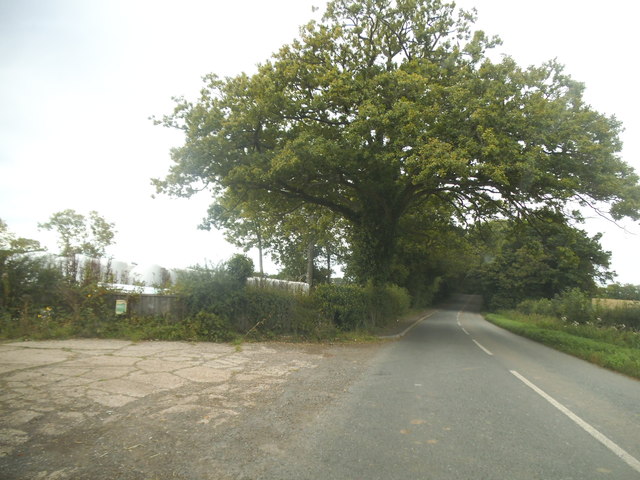
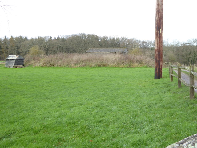
Cousins's Copse, located in Sussex, is a charming woodland area that offers visitors a serene and picturesque experience. Spanning over a vast expanse, the copse is a haven for nature enthusiasts and those seeking a peaceful retreat.
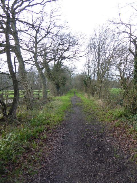
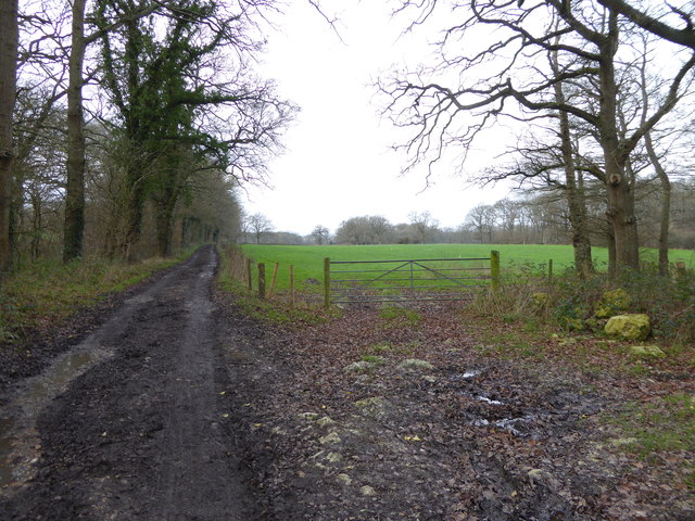
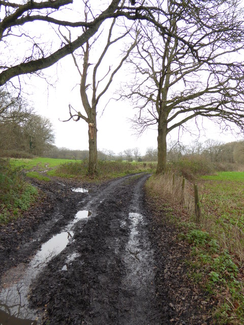
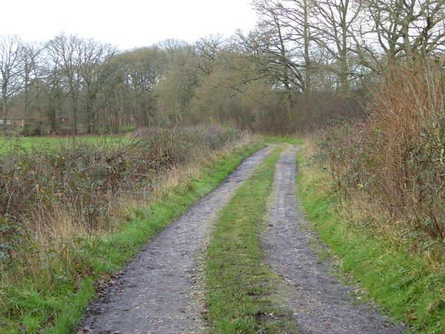
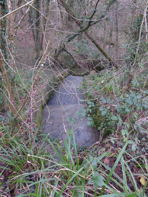
The copse is characterized by its dense and diverse vegetation, consisting of a variety of tree species such as oak, beech, and birch. The towering trees create a natural canopy, providing shade and shelter to the flora and fauna that call this place home. The forest floor is adorned with a colorful carpet of wildflowers during the spring and summer months, adding to the copse's natural beauty.
Nature lovers will be delighted to find an abundance of wildlife in Cousins's Copse. It is home to a wide range of creatures, including deer, foxes, badgers, and numerous bird species. Birdwatchers can spot woodpeckers, owls, and thrushes among the treetops, while the lucky few might even catch a glimpse of the elusive red squirrel.
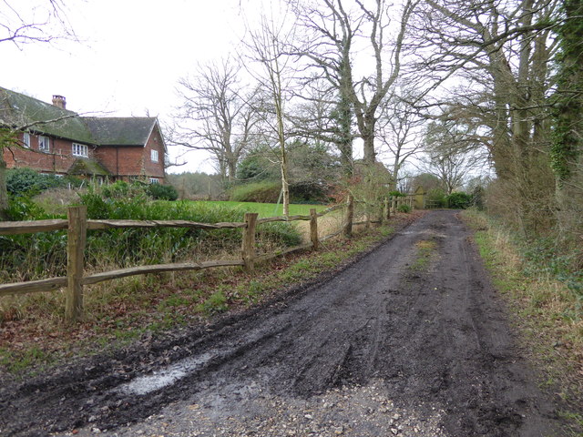
The copse features several walking trails that wind through the woods, allowing visitors to immerse themselves in the tranquil surroundings. These paths are well-maintained and offer easy access for all levels of hikers. The area is also popular for cycling and horse riding, with designated trails catering to these activities.
Cousins's Copse is a true gem in Sussex, offering a peaceful escape from the hustle and bustle of daily life. Whether it's a leisurely stroll, a wildlife spotting adventure, or simply a moment of solitude amidst nature's beauty, this woodland retreat is a must-visit destination for nature enthusiasts and those seeking tranquility.
If you have any feedback on the listing, please let us know in the comments section below.
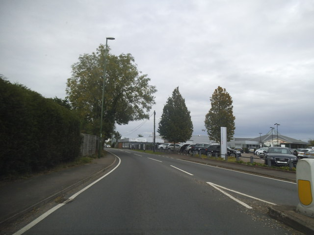
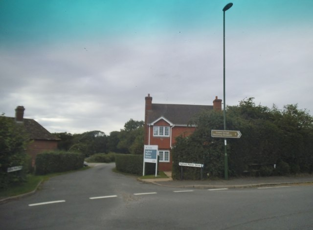
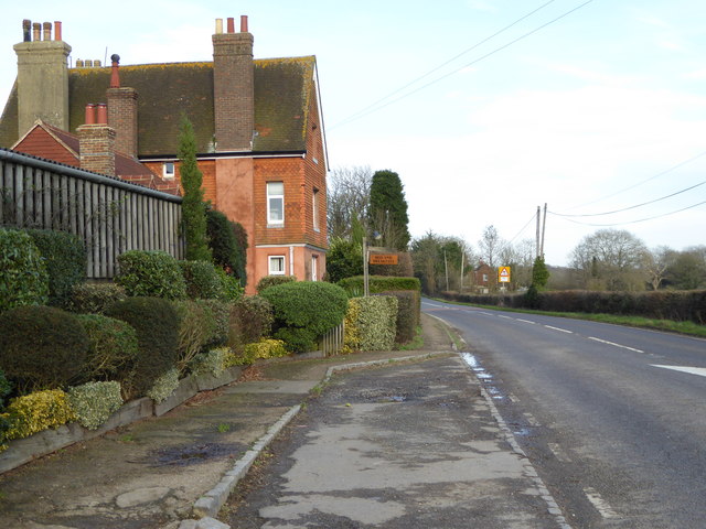
Cousins's Copse Images
Images are sourced within 2km of 51.055234/-0.43375579 or Grid Reference TQ0929. Thanks to Geograph Open Source API. All images are credited.


Cousins's Copse is located at Grid Ref: TQ0929 (Lat: 51.055234, Lng: -0.43375579)
Administrative County: West Sussex
District: Horsham
Police Authority: Sussex
What 3 Words
///flashing.community.midwinter. Near Slinfold, West Sussex
Nearby Locations
Related Wikis

Five Oaks
Five Oaks is a large hamlet in the Horsham District of West Sussex, England. It lies about 1.7 miles (2.8 km) north of Billingshurst on the Roman road...

The Haven, West Sussex
The Haven is a rural hamlet in West Sussex, south east England located about 7 miles to the west of Horsham.The Haven is primarily an agricultural area...

Slinfold railway station
Slinfold railway station was on the Cranleigh Line and served the village of Slinfold in West Sussex. == History == The line had a single track and opened...

Slinfold
Slinfold is a village and civil parish in the Horsham District of West Sussex, England. == Geography == The village is almost 4 miles (6.4 km) west of...

Coppedhall Hanger
Coppedhall Hanger is a 0.6-hectare (1.5-acre) geological Site of Special Scientific Interest north of Billingshurst in West Sussex. It is a Geological...

Slinfold Stream and Quarry
Slinfold Stream and Quarry is a 2.3-hectare (5.7-acre) geological Site of Special Scientific Interest west of Horsham in West Sussex. It is a Geological...

Itchingfield
Itchingfield is a small village and civil parish in the Horsham district of West Sussex, England. It lies on the Barns Green to Broadbridge Heath road...
Billingshurst F.C.
Billingshurst Football Club is a football club based in Billingshurst, West Sussex, England. They are currently members of the Southern Combination Division...
Nearby Amenities
Located within 500m of 51.055234,-0.43375579Have you been to Cousins's Copse?
Leave your review of Cousins's Copse below (or comments, questions and feedback).