Oak Holt

Wood, Forest in Lincolnshire North Kesteven

England

Oak Holt

Field and footpath sign On the edge of Metheringham.
Field and footpath sign Credit: David Lally

Oak Holt is a small village located in the county of Lincolnshire, England. Situated amidst a picturesque landscape, Oak Holt is renowned for its abundant woodlands and forests, making it an ideal destination for nature enthusiasts and outdoor adventurers.

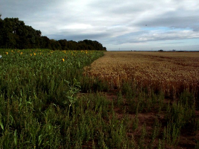
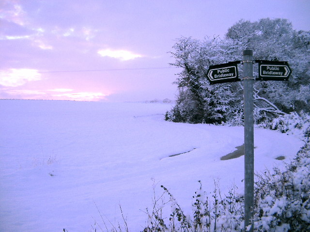
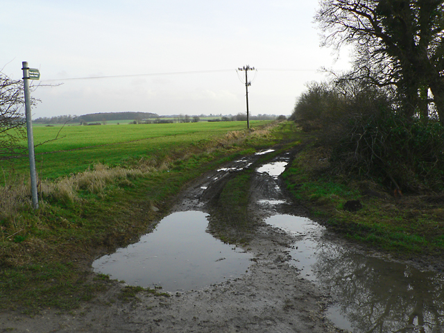
The village is nestled within the Lincolnshire Wolds, an Area of Outstanding Natural Beauty, which ensures breathtaking views and a tranquil atmosphere. Oak Holt boasts a rich variety of oak trees, hence the name, providing a lush canopy that adds to the village's charm. The woodlands are meticulously maintained, with well-marked trails that allow visitors to explore the area and immerse themselves in nature.

Wildlife thrives in Oak Holt, thanks to the diverse ecosystem created by the forests. The woods are home to a wide range of flora and fauna, including deer, squirrels, birds, and rare plant species. Nature lovers can indulge in birdwatching, as the area attracts various species throughout the year.

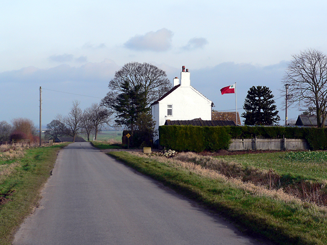
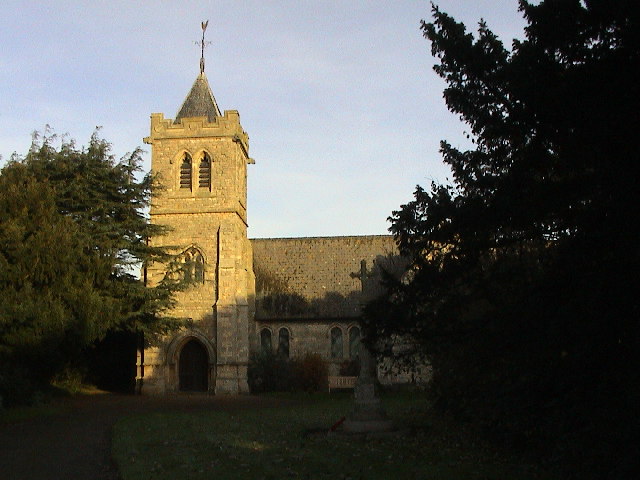
In addition to its natural beauty, Oak Holt offers a tight-knit community atmosphere. The village is complete with a small number of residential properties, a local church, and a village hall that serves as a hub for social gatherings and events.

Overall, Oak Holt, Lincolnshire, provides a haven for those seeking solace in nature. With its enchanting woodlands, diverse wildlife, and welcoming community, it offers a serene escape from the hustle and bustle of modern life.

If you have any feedback on the listing, please let us know in the comments section below.
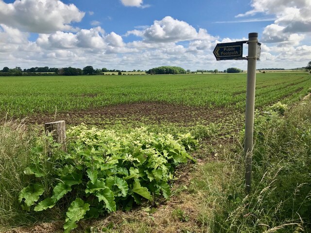
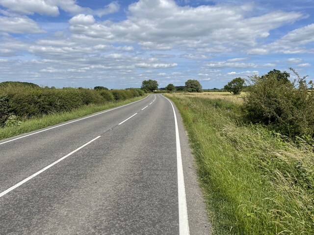
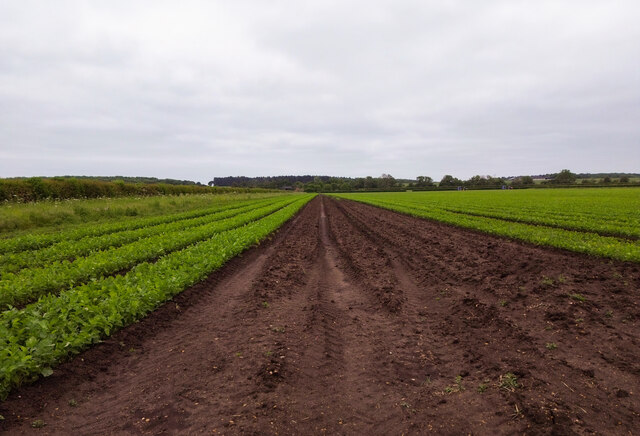
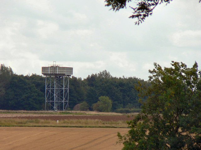
Oak Holt Images

Images are sourced within 2km of 53.14071/-0.35962941 or Grid Reference TF0961. Thanks to Geograph Open Source API. All images are credited.

Field and footpath sign On the edge of Metheringham.
Field and footpath sign
On the edge of Metheringham.
Moor Lane, B1189 eastwards from Metheringham
Railway curve and irrigation ponds SE of Metheringham: aerial 2022
Disused RAF Metheringham airfield: aerial 2022
Mud area in crop field, near Metheringham Barff Near the Twelve Foot Drain.
Middle Fen Farm is in the far distance.
Mud area in crop field, near Metheringham Barff
Near the Twelve Foot Drain. Middle Fen Farm is in the far distance.
Water Tower at Metheringham Probably a remnant structure of the nearby disused airfield.
Water Tower at Metheringham
Probably a remnant structure of the nearby disused airfield.
Looking North from Metheringham Barff
Looking south on to Metheringham Barff from bridge over Carr Dyke
Looking south on to Metheringham Barff
from bridge over Carr Dyke
Metheringham Barff In Lincolnshire a "Barff" is a low hill rising from the fens - before drainage many would have been islands in the marshes. Here, the tricky summit pitch of Metheringham Barff towers to 18 metres. Looking southeast.
Metheringham Barff
In Lincolnshire a "Barff" is a low hill rising from the fens - before drainage many would have been islands in the marshes. Here, the tricky summit pitch of Metheringham Barff towers to 18 metres. Looking southeast.
Flying The Flag Looking east on Metheringham Fen Lane past Hilltop House with the fens beyond.
Flying The Flag
Looking east on Metheringham Fen Lane past Hilltop House with the fens beyond.
Metheringham Fen Looking northeast on Metheringham Fen Lane toward Top Farm
Metheringham Fen
Looking northeast on Metheringham Fen Lane toward Top Farm
B1189 to Metheringham A view of the B1189 where it crosses a stream, looking towards Metheringham
B1189 to Metheringham
A view of the B1189 where it crosses a stream, looking towards Metheringham
Footpath Junction along Car Dyke Looking West along Car Dyke from Metheringham Barff
Footpath Junction along Car Dyke
Looking West along Car Dyke from Metheringham Barff
Track to Dairy Farm House - Barff Farm
Martin Moor Golf Course Club House
Railway Level Crossing Blankney The road is now closed but walkers and cyclists can still cross the line through the hand gate. Although no longer used the telegraph pole offers a reminder of years gone by.
Railway Level Crossing Blankney
The road is now closed but walkers and cyclists can still cross the line through the hand gate. Although no longer used the telegraph pole offers a reminder of years gone by.
East across fields near Blankney
North West toward Barff Holt near Blankney
Show me another place!

Oak Holt is located at Grid Ref: TF0961 (Lat: 53.14071, Lng: -0.35962941)

Administrative County: Lincolnshire

District: North Kesteven

Police Authority: Lincolnshire

What 3 Words

///thickens.functions.inversely. Near Metheringham, Lincolnshire

Nearby Locations

Oak Holt Barff Holt

Related Wikis

Metheringham Lass

The Metheringham Lass is the name given to an apparition which has been reported at RAF Metheringham. Reports have stated that the woman, wearing a jacket...

RAF Metheringham

Royal Air Force Metheringham or more simply RAF Metheringham is a former Royal Air Force station situated between the villages of Metheringham and Martin...

Metheringham railway station

Metheringham railway station serves the village of Metheringham in Lincolnshire, England. It lies on the Peterborough–Lincoln line. It is owned by Network...

Martin, North Kesteven

Martin is a small village and civil parish in the North Kesteven district of Lincolnshire, England. The population at the 2011 census was 866. It lies...

Nearby Amenities

Located within 500m of 53.14071,-0.35962941
Power: pole
Lat/Long: 53.1399074/-0.3560144
Power: pole
Lat/Long: 53.1435979/-0.3572957
Power: pole
Lat/Long: 53.1427197/-0.3570041
Power: pole
Lat/Long: 53.1417673/-0.3566702
Power: pole
Lat/Long: 53.1408379/-0.3563287
Power: pole
Lat/Long: 53.1445101/-0.3578482
Metheringham Barff Farm
Place: farm
Source: Bing
Lat/Long: 53.1444365/-0.3584993
Dairy Farm
Place: farm
Source: Bing
Lat/Long: 53.1381118/-0.3594465
The data included in this document is from www.openstreetmap.org. The data is made available under ODbL.

Have you been to Oak Holt?

Leave your review of Oak Holt below (or comments, questions and feedback).