King's Covert
Wood, Forest in Lincolnshire North Kesteven
England
King's Covert

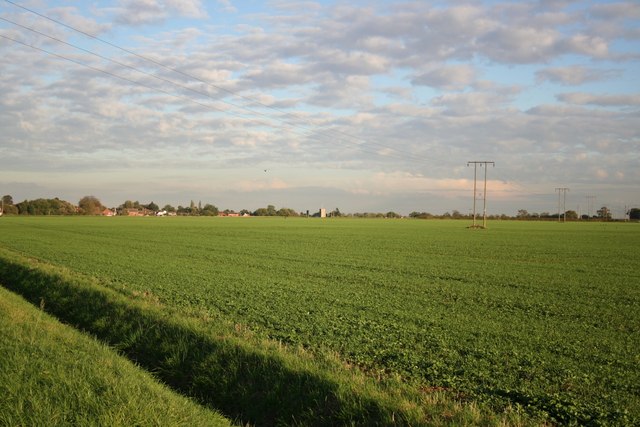
King's Covert is a woodland area located in the county of Lincolnshire in England. Situated in the heart of the county, King's Covert spans over an expansive area, covering several hundred acres of land. It is a protected forest, managed by the local authorities to preserve its natural beauty and ecological significance.
The woodland is predominantly composed of native tree species, such as oak, beech, and birch, which create a lush and diverse habitat for various plant and animal species. The forest floor is covered in a thick carpet of moss, ferns, and wildflowers, adding to its enchanting appeal.
King's Covert offers a haven for wildlife, with a multitude of species making it their home. Birdwatchers can spot a wide range of avian species, including woodpeckers, owls, and numerous songbirds. The forest is also home to small mammals like squirrels, foxes, and rabbits, as well as larger mammals such as deer and badgers.
The woodland is crisscrossed by a network of well-maintained walking trails, allowing visitors to explore its natural wonders at their own pace. These trails lead visitors through ancient trees, alongside babbling brooks, and up gentle inclines, offering breathtaking views of the surrounding countryside.
In addition to its natural beauty, King's Covert holds historical significance. It is believed that the forest has been present for centuries, with some areas possibly dating back to prehistoric times. It has witnessed the passage of time and served as a source of inspiration for artists, writers, and nature enthusiasts alike.
Overall, King's Covert in Lincolnshire is a captivating woodland that offers a peaceful retreat for nature lovers, providing a glimpse into the region's rich natural and cultural heritage.
If you have any feedback on the listing, please let us know in the comments section below.
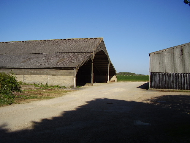
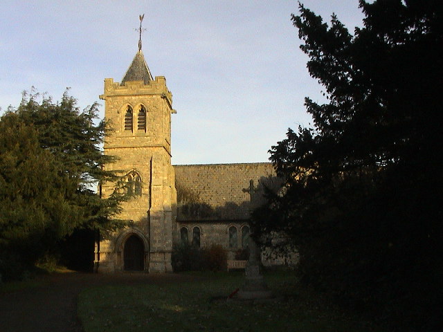
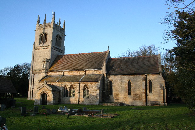
King's Covert Images
Images are sourced within 2km of 53.121781/-0.36061915 or Grid Reference TF0959. Thanks to Geograph Open Source API. All images are credited.


King's Covert is located at Grid Ref: TF0959 (Lat: 53.121781, Lng: -0.36061915)
Administrative County: Lincolnshire
District: North Kesteven
Police Authority: Lincolnshire
What 3 Words
///songbird.joyously.marginal. Near Metheringham, Lincolnshire
Nearby Locations
Related Wikis

Scopwick and Timberland railway station
Scopwick and Timberland railway station was a station in Scopwick, Lincolnshire, which was open between 1882 and 1955. == History == The railway line between...

Metheringham Lass
The Metheringham Lass is the name given to an apparition which has been reported at RAF Metheringham. Reports have stated that the woman, wearing a jacket...

RAF Metheringham
Royal Air Force Metheringham or more simply RAF Metheringham is a former Royal Air Force station situated between the villages of Metheringham and Martin...

Kirkby Green
Kirkby Green is a small village in the North Kesteven district of Lincolnshire, England. The village lies east from Scopwick on the B1191 road to Timberland...
Martin, North Kesteven
Martin is a small village and civil parish in the North Kesteven district of Lincolnshire, England. The population at the 2011 census was 866. It lies...

Timberland, Lincolnshire
Timberland is a village in the North Kesteven district of Lincolnshire, England. The population of the civil parish (including Thorpe Tilney) at the 2011...

Metheringham railway station
Metheringham railway station serves the village of Metheringham in Lincolnshire, England. It lies on the Peterborough–Lincoln line. It is owned by Network...
Blankney
Blankney is a village and civil parish in the North Kesteven district of Lincolnshire, England. The population of the civil parish at the 2011 census was...
Nearby Amenities
Located within 500m of 53.121781,-0.36061915Have you been to King's Covert?
Leave your review of King's Covert below (or comments, questions and feedback).