High Copse
Wood, Forest in Sussex Horsham
England
High Copse
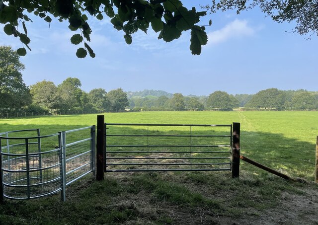
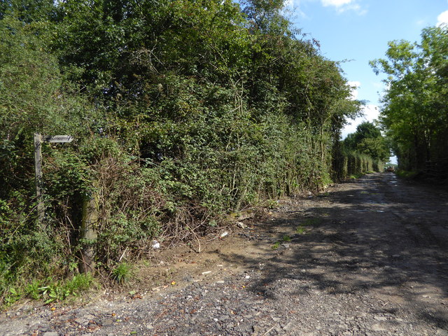
High Copse is a quaint woodland located in the county of Sussex, England. Spread across a vast expanse, this enchanting forest covers an area of approximately 500 acres. Nestled within the picturesque South Downs National Park, High Copse is a favorite destination for nature lovers and outdoor enthusiasts alike.
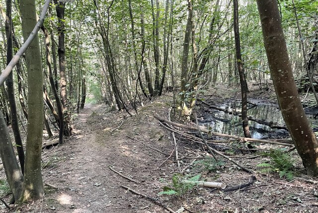
The woodland is characterized by its diverse range of tree species, including oak, beech, ash, and birch. These majestic trees create a dense canopy, casting shadows on the forest floor and providing a haven for various wildlife species. The forest is also home to a vibrant array of plant life, with a multitude of wildflowers, ferns, and mosses carpeting the forest floor.
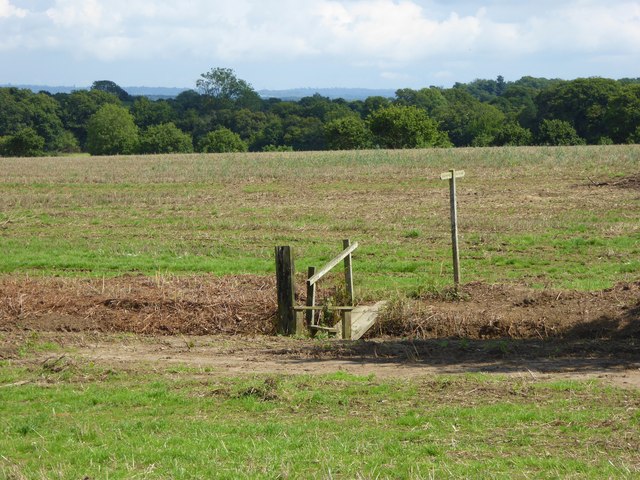
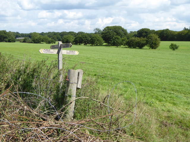
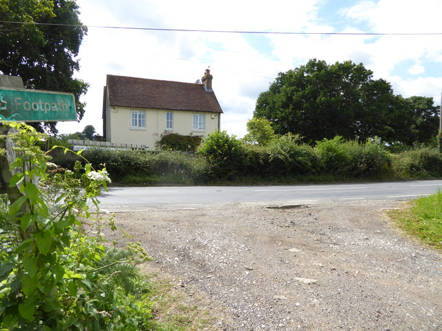
High Copse offers a network of well-maintained walking trails, allowing visitors to explore its natural beauty at their own pace. These trails cater to all levels of fitness and provide opportunities for both leisurely strolls and more challenging hikes. Along the way, visitors may encounter a variety of wildlife, including deer, squirrels, and a rich assortment of bird species.
The forest is not only a haven for flora and fauna but also offers recreational activities such as picnicking, cycling, and birdwatching. Additionally, High Copse has designated areas for camping, allowing visitors to spend a night under the starry Sussex sky.
With its tranquil ambiance and breathtaking scenery, High Copse is a cherished gem within the Sussex countryside, offering a serene escape from the hustle and bustle of everyday life.
If you have any feedback on the listing, please let us know in the comments section below.
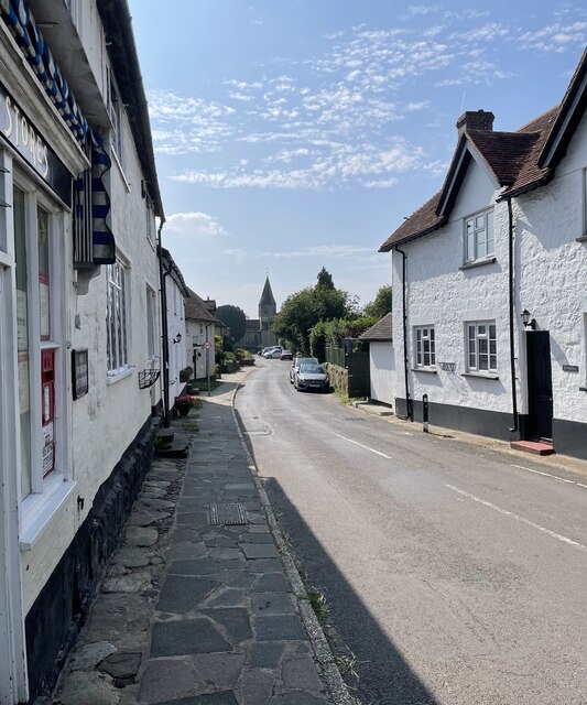
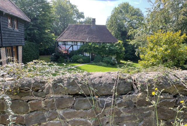
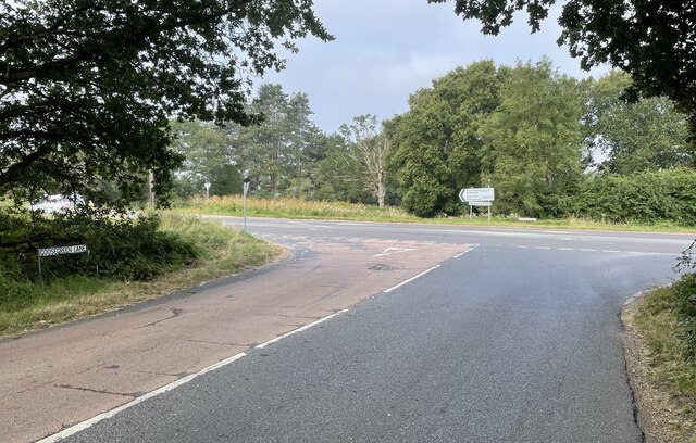
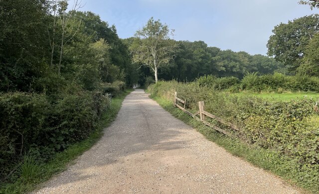
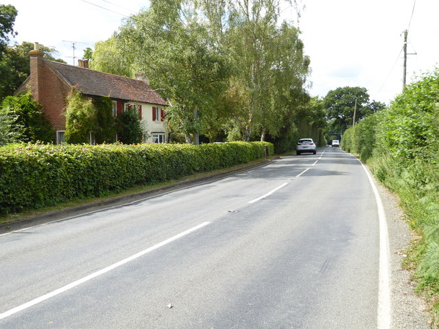
High Copse Images
Images are sourced within 2km of 50.96822/-0.43789461 or Grid Reference TQ0919. Thanks to Geograph Open Source API. All images are credited.


High Copse is located at Grid Ref: TQ0919 (Lat: 50.96822, Lng: -0.43789461)
Administrative County: West Sussex
District: Horsham
Police Authority: Sussex
What 3 Words
///sling.cadet.goods. Near Ashington, West Sussex
Nearby Locations
Related Wikis

West Chiltington
West Chiltington is a village and civil parish in the Horsham district of West Sussex, England. It lies on the Storrington to Broadford Bridge road, 2...

St Mary's Church, West Chiltington
St Mary's Church is the Grade I listed Anglican parish church of West Chiltington, a village in the Horsham district of West Sussex, England. The 12th...

Geoffrey Woolley
Geoffrey Harold Woolley, (14 May 1892 – 10 December 1968) was a British Army infantry officer, Church of England priest, and Second World War military...
Henry Bowreman Foote
Major General Henry Robert Bowreman Foote, (5 December 1904 – 11 November 1993) was a British Army officer and a recipient of the Victoria Cross, the...

Gay Street, West Sussex
Gay Street is a hamlet in the Horsham District of West Sussex, England. It lies on the North Heath to West Chiltington road 1.9 miles (3.1 km) northeast...
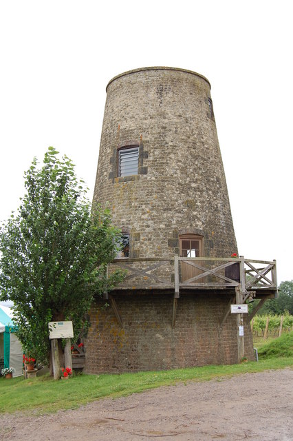
Nutbourne Windmill
Nutbourne Windmill is a tower mill at Nutbourne, Sussex, England which has been converted to retail use. == History == Nutbourne Windmill was built in...
Meeten's Mill, West Chiltington
Meeten's Mill is a grade II listed smock mill at West Chiltington, Sussex, England, which has been converted to residential use. == History == Meeten's...
Nutbourne, Horsham
Nutbourne is a hamlet running north–south situated 1.5 miles (2.4 km) east of Pulborough in the Horsham District of West Sussex and is in Pulborough civil...
Nearby Amenities
Located within 500m of 50.96822,-0.43789461Have you been to High Copse?
Leave your review of High Copse below (or comments, questions and feedback).