Beck Copse
Wood, Forest in Sussex Horsham
England
Beck Copse

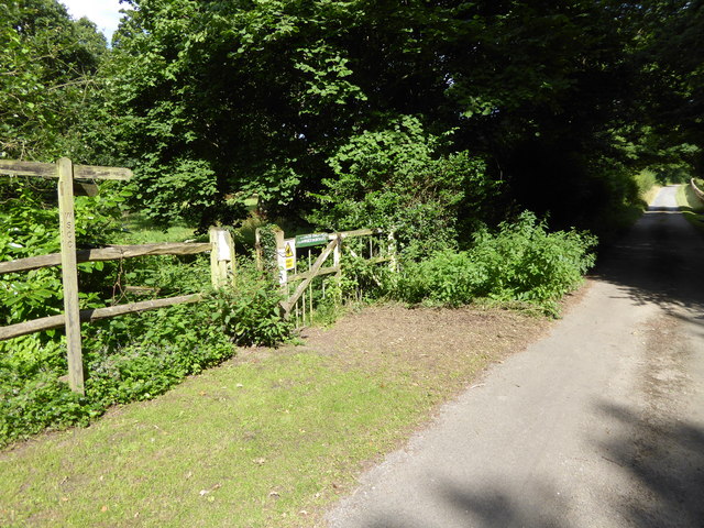
Beck Copse is a charming woodland located in the county of Sussex, England. Covering an area of approximately 50 hectares, this picturesque forest is nestled within the South Downs National Park, offering visitors a serene and tranquil escape from the bustling city life.
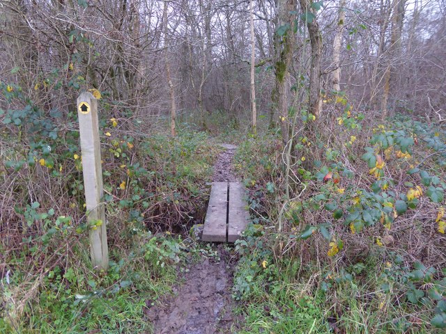
The copse is predominantly made up of broadleaf trees, including oak, beech, and ash, which create a dense canopy that provides shade and shelter for a variety of wildlife. The forest floor is covered with a thick carpet of ferns, bluebells, and other wildflowers, adding a burst of color and beauty to the landscape.
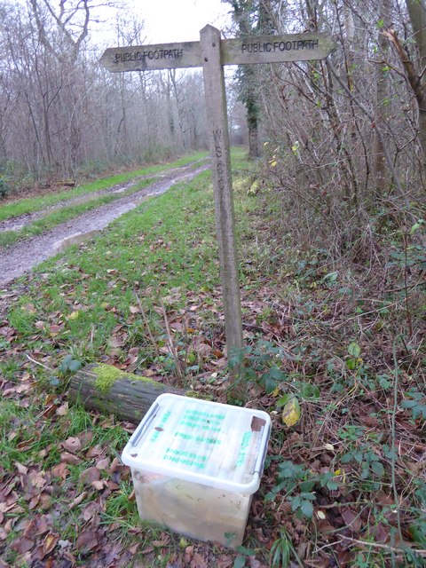
Several well-maintained walking trails wind their way through the woods, allowing visitors to explore the copse at their own pace. These paths offer opportunities for both leisurely strolls and more challenging hikes, catering to all fitness levels. Along the way, walkers may encounter a diverse range of fauna, from squirrels and rabbits to various bird species, including woodpeckers and owls.
Nature enthusiasts will appreciate the copse's biodiversity, as it serves as a habitat for many rare and protected species. Conservation efforts have been made to preserve and enhance the woodland, ensuring its ecological significance remains intact.
Beck Copse is a popular destination for outdoor enthusiasts, families, and nature lovers alike. Its idyllic setting and peaceful atmosphere make it the perfect place to reconnect with nature, enjoy a picnic, or simply unwind amidst the beauty of the Sussex countryside.
If you have any feedback on the listing, please let us know in the comments section below.
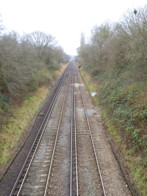
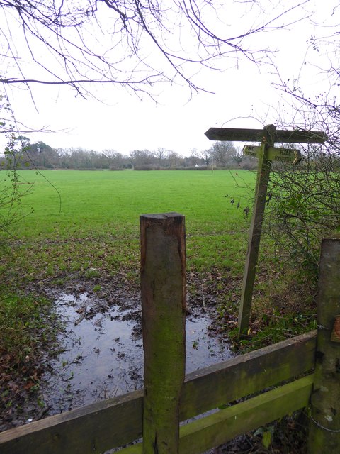
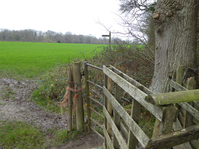
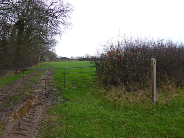
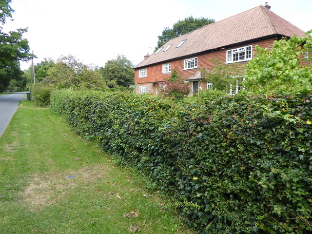
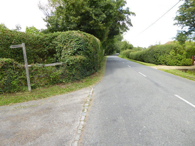
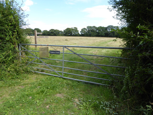
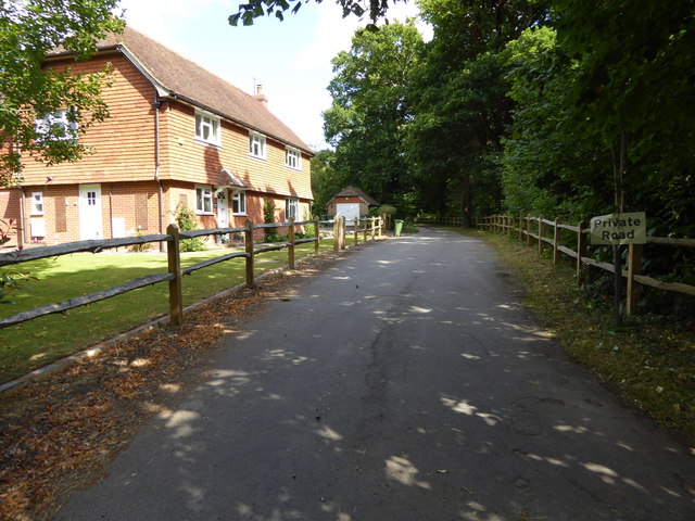
Beck Copse Images
Images are sourced within 2km of 51.009915/-0.436808 or Grid Reference TQ0924. Thanks to Geograph Open Source API. All images are credited.


Beck Copse is located at Grid Ref: TQ0924 (Lat: 51.009915, Lng: -0.436808)
Administrative County: West Sussex
District: Horsham
Police Authority: Sussex
What 3 Words
///myself.sculpting.series. Near Billingshurst, West Sussex
Nearby Locations
Related Wikis

Coneyhurst Cutting
Coneyhurst Cutting is a 0.2-hectare (0.49-acre) geological Site of Special Scientific Interest south-east of Billingshurst in West Sussex. It is a Geological...

Coneyhurst
Coneyhurst is a hamlet in the Horsham District of West Sussex, England. It lies on the A272 road 1.6 miles (2.5 km) southeast of Billingshurst (where the...

Billingshurst railway station
Billingshurst Railway Station serves the market town of Billingshurst, in West Sussex, England. It is on the Arun Valley Line 44 miles 71 chains (72.2...

The Weald School
The Weald School is a coeducational secondary school and sixth form. It caters for around 1,700 pupils in years 7 to 13, including over 300 in its sixth...

Billingshurst
Billingshurst is a village and civil parish in the Horsham District of West Sussex, England. The village lies on the A29 road (the Roman Stane Street)...

Billingshurst (electoral division)
Billingshurst is an electoral division of West Sussex in the United Kingdom and returns one member to sit on West Sussex County Council. == Extent == The...

Billingshurst Unitarian Chapel
Billingshurst Unitarian Chapel is a place of worship in Billingshurst in the English county of West Sussex. The cottage-like building was erected in 1754...

A29 road
The A29 is a main road in England in Surrey and chiefly in West Sussex that runs for 34.4 miles (55.4 km). == Route == The road starts at the Beare Green...
Nearby Amenities
Located within 500m of 51.009915,-0.436808Have you been to Beck Copse?
Leave your review of Beck Copse below (or comments, questions and feedback).