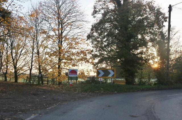
Redding Wood

Wood, Forest in Hertfordshire St. Albans

England

Redding Wood

Tree on Watery Lane, Flamstead
Tree on Watery Lane, Flamstead Credit: David Howard

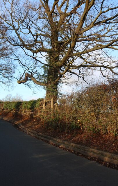
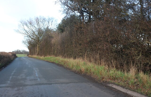
Redding Wood is a picturesque woodland located in the county of Hertfordshire, England. Situated near the village of Redding, the wood covers an area of approximately 50 acres. It is a popular destination for nature lovers, hikers, and photographers alike, offering a serene and tranquil atmosphere.

The wood is predominantly composed of deciduous trees, including oak, beech, and birch, which create a dense canopy that provides shade during the summer months. The forest floor is covered in a rich carpet of bluebells and wildflowers in the spring, adding a burst of color to the surroundings.

Redding Wood is home to a diverse range of flora and fauna, with various species of birds, insects, and small mammals inhabiting the area. Birdwatchers will be delighted by the presence of woodpeckers, nuthatches, and various songbirds that frequent the wood's trees.

There are several well-marked trails that wind through the wood, allowing visitors to explore its natural beauty. These trails offer stunning views of the surrounding countryside, making it a perfect spot for nature photography and picnicking.

The wood is managed by the local authorities, who ensure its preservation and conservation. It is open to the public throughout the year, and there is no admission fee.

Overall, Redding Wood is a gem in Hertfordshire, offering a peaceful retreat for those seeking a break from the hustle and bustle of everyday life. Its natural beauty and diverse wildlife make it a must-visit destination for nature enthusiasts and outdoor lovers.

If you have any feedback on the listing, please let us know in the comments section below.
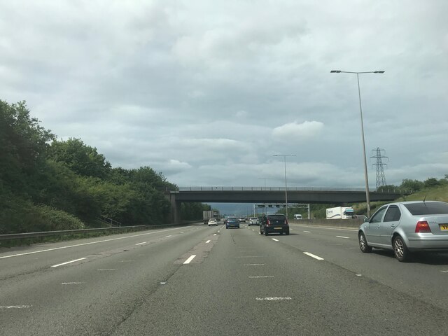
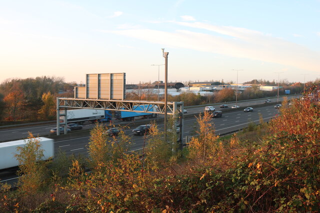
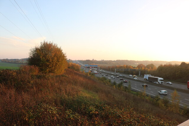
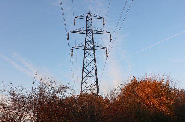
Redding Wood Images

Images are sourced within 2km of 51.812591/-0.4101055 or Grid Reference TL0913. Thanks to Geograph Open Source API. All images are credited.

Tree on Watery Lane, Flamstead
Watery Lane, Flamstead
Footbridge crossing M1 northbound
Matrix gantry M1 northbound
Watery Lane crossing M1 northbound
The M1, Flamstead
The M1, Flamstead
The M1, Flamstead
The M1, Flamstead
Pylon by Watery Lane, Flamstead
Annables Lane, Kinsbourne Green
Luton Lane looking towards Kinsbourne Green Lane
Conifers by Luton Lane, Redbourn
House on Luton Lane, Redbourn
Watling House on Dunstable Road, Redbourn Offices of Rolfe Construction Ltd. <span class="nowrap"><a title="https://rclservices.com/" rel="nofollow ugc noopener" href="https://rclservices.com/">Link</a><img style="margin-left:2px;" alt="External link" title="External link - shift click to open in new window" src="https://s1.geograph.org.uk/img/external.png" width="10" height="10"/></span>
Watling House on Dunstable Road, Redbourn
Offices of Rolfe Construction Ltd. LinkExternal link
Tree on Kinsbourne Green Lane
Field on Roundwood Lane, Harpenden
Kinsbourne Green Lane, Redbourn
Tree on Roundwood Lane, Kinsbourne Green
Show me another place!

Redding Wood is located at Grid Ref: TL0913 (Lat: 51.812591, Lng: -0.4101055)

Administrative County: Hertfordshire

District: St. Albans

Police Authority: Hertfordshire

What 3 Words

///owner.hired.vase. Near Redbourn, Hertfordshire

Nearby Locations

Redding Wood

Related Wikis

Redbourn

Redbourn is a village and civil parish in Hertfordshire, England, lying on Watling Street, three miles (4.8 km) from Harpenden, four miles (6.4 km) from...

Harpenden Rural

Harpenden Rural is a civil parish in the City and District of St Albans in Hertfordshire, England, to the west of Harpenden parish. The local council is...

Flamstead

Flamstead is a village and civil parish in north-west Hertfordshire, England, close to the junction of the A5 and the M1 motorway at junction 9. The name...
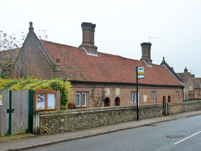
Saunders Almshouses

The Saunders Almshouses are Grade II* listed almshouses in Flamstead, Hertfordshire, England. They date from 1669 and were built for Thomas Saunders of...

Redbourn railway station

Redbourn railway station served the village of Redbourn, Hertfordshire, England from 1887 to 1964 on the Nickey Line. == History == The station opened...

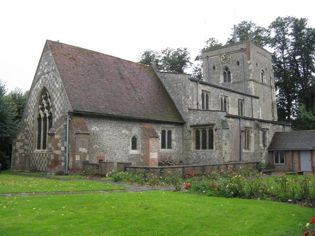
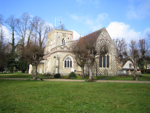
St Mary's Church, Redbourn

St Mary's Church is an active Grade I listed parish church in the Church of England in Redbourn, Hertfordshire, England. The building is Grade I listed...

Kinsbourne Green

Kinsbourne Green is a small hamlet to the north-west of Harpenden in Hertfordshire, England. The hamlet is now geographically virtually contiguous with...

Beaumont's Halt railway station

Beaumont's Halt railway station was in Hertfordshire, England from 1905 to 1963 on the Nickey Line. == History == The station opened on 9 August 1905...

Nearby Amenities

Located within 500m of 51.812591,-0.4101055
Barrier: kissing_gate
Foot: yes
Lat/Long: 51.8141901/-0.4152487
Ele: 117.0000000
Lat/Long: 51.8169029/-0.4095393
Bus Stop
Redding Lane
Bus: yes
Naptan AtcoCode: 210021502380
Naptan Bearing: SE
Naptan CommonName: Redding Lane
Naptan Crossing: Breaker's Yard
Naptan Indicator: opp
Naptan Landmark: Breaker's Yard
Naptan NaptanCode: hrtdadjp
Naptan PlusbusZoneRef: HRPNDN;STALBCY
Naptan ShortCommonName: NA
Naptan Street: Dunstable Road
Naptan Verified: no
Public Transport: platform
Shelter: no
Source: naptan_import
Lat/Long: 51.8112698/-0.4050334
Bus Stop
Redding Lane
Bus: yes
Naptan AtcoCode: 210021509400
Naptan Bearing: NW
Naptan CommonName: Redding Lane
Naptan Crossing: Redding Wood
Naptan Indicator: adj
Naptan Landmark: Redding Wood
Naptan NaptanCode: hrtatpjt
Naptan PlusbusZoneRef: HRPNDN;STALBCY
Naptan ShortCommonName: NA
Naptan Street: Dunstable Road
Naptan Verified: no
Public Transport: platform
Shelter: no
Source: naptan_import
Lat/Long: 51.8119452/-0.4057639
Power: tower
Lat/Long: 51.809278/-0.4141291
Barrier: kissing_gate
Bicycle: no
Foot: yes
Lat/Long: 51.8107091/-0.4143105
Barrier: block
Bicycle: no
Foot: no
Lat/Long: 51.8135461/-0.4150634
Barrier: kissing_gate
Foot: yes
Lat/Long: 51.8170518/-0.4099864
Barrier: kissing_gate
Foot: yes
Lat/Long: 51.8135784/-0.4151369
Street Lamp
Lamp Model: CU Phosco P860
Lamp Type: LED
Source: Survey of 2019-02-22
Lat/Long: 51.8149905/-0.4162013
Street Lamp
Lamp Model: CU Phosco P860
Lamp Type: LED
Source: Survey of 2019-02-22
Lat/Long: 51.8145934/-0.4161347
Street Lamp
Lamp Model: CU Phosco P860
Lamp Type: LED
Source: Survey of 2019-02-22
Lat/Long: 51.8141624/-0.4160553
Street Lamp
Lamp Model: CU Phosco P860
Lamp Type: LED
Source: Survey of 2019-02-22
Lat/Long: 51.8137533/-0.4159906
Street Lamp
Lamp Model: CU Phosco P860
Lamp Type: LED
Source: Survey of 2019-02-22
Lat/Long: 51.8133333/-0.4159171
Street Lamp
Lamp Model: CU Phosco P860
Lamp Type: LED
Source: Survey of 2019-02-22
Lat/Long: 51.8128859/-0.4158406
Street Lamp
Lamp Model: CU Phosco P860
Lamp Type: LED
Source: Survey of 2019-02-22
Lat/Long: 51.8124604/-0.41577
Street Lamp
Lamp Model: CU Phosco P860
Lamp Type: LED
Source: Survey of 2019-02-22
Lat/Long: 51.8120495/-0.4156994
Street Lamp
Lamp Model: CU Phosco P860
Lamp Type: LED
Source: Survey of 2019-02-22
Lat/Long: 51.8116421/-0.41562
Street Lamp
Lamp Model: CU Phosco P860
Lamp Type: LED
Source: Survey of 2019-02-22
Lat/Long: 51.8112366/-0.4155465
Street Lamp
Lamp Model: CU Phosco P860
Lamp Type: LED
Source: Survey of 2019-02-22
Lat/Long: 51.8108147/-0.4154671
Street Lamp
Lamp Model: CU Phosco P860
Lamp Type: LED
Source: Survey of 2019-02-22
Lat/Long: 51.810391/-0.4153847
Street Lamp
Lamp Model: CU Phosco P860
Lamp Type: LED
Source: Survey of 2019-02-22
Lat/Long: 51.8099764/-0.4153023
Street Lamp
Lamp Model: CU Phosco P860
Lamp Type: LED
Source: Survey of 2019-02-22
Lat/Long: 51.8095636/-0.4152112
Events Venue
Hertfordshire County Showground
Operator: Hertfordshire Country Council
Lat/Long: 51.8152587/-0.4121317
Power: pole
Lat/Long: 51.8135832/-0.4038195
Traffic Calming: island
Lat/Long: 51.8126872/-0.4062005
Traffic Calming: island
Lat/Long: 51.8116536/-0.4054166
Colour: red and white
Marker: aerial
Material: plastic
Utility: gas
Lat/Long: 51.8156509/-0.4085916
Colour: yellow
Marker: post
Material: concrete
Utility: gas
Lat/Long: 51.8157609/-0.4084003
Colour: yellow
Marker: post
Material: plastic
Utility: gas
Lat/Long: 51.8156562/-0.4085766
Colour: yellow
Inscription: GAS PIPELINE
Marker: post
Material: concrete
Utility: gas
Lat/Long: 51.8123861/-0.4125837
The data included in this document is from www.openstreetmap.org. The data is made available under ODbL.

Have you been to Redding Wood?

Leave your review of Redding Wood below (or comments, questions and feedback).