Bull Wood

Wood, Forest in Bedfordshire

England

Bull Wood

Luton Hoo from the formal gardens Luton Hoo these days is a luxury 5 star hotel, but when it was owned by the Wernher family it boasted guest lists that included the Queen and Duke of Edinburgh and Sir Winston Churchill.
Luton Hoo from the formal gardens Credit: Bob Walters

Bull Wood is a picturesque forest located in the county of Bedfordshire, England. Spanning over a vast area, this enchanting woodland is a haven for nature lovers and outdoor enthusiasts alike.

The forest is named after the majestic Bull Oak tree, which is believed to have stood tall within its grounds for centuries. The wood is predominantly made up of native British trees such as oak, beech, and birch, creating a diverse and vibrant ecosystem. The natural beauty of Bull Wood is enhanced by the presence of a meandering river that flows through its heart, providing a serene and calming ambiance.

The wood offers a range of recreational activities for visitors to enjoy. There are numerous scenic walking trails that wind their way through the forest, providing opportunities to explore its hidden treasures. Wildlife enthusiasts will be delighted to spot a variety of animals, including deer, foxes, and a wide array of bird species.

Bull Wood is also a popular destination for camping and picnicking. Its peaceful surroundings and well-maintained facilities make it an ideal spot for families and friends to gather and enjoy the great outdoors. Additionally, the forest provides an excellent backdrop for photography enthusiasts, with its stunning vistas and natural beauty.

With its rich history and breathtaking landscape, Bull Wood is a true gem in the heart of Bedfordshire. Whether it's a leisurely stroll, a family gathering, or a wildlife adventure, this forest offers something for everyone to appreciate and enjoy.

If you have any feedback on the listing, please let us know in the comments section below.
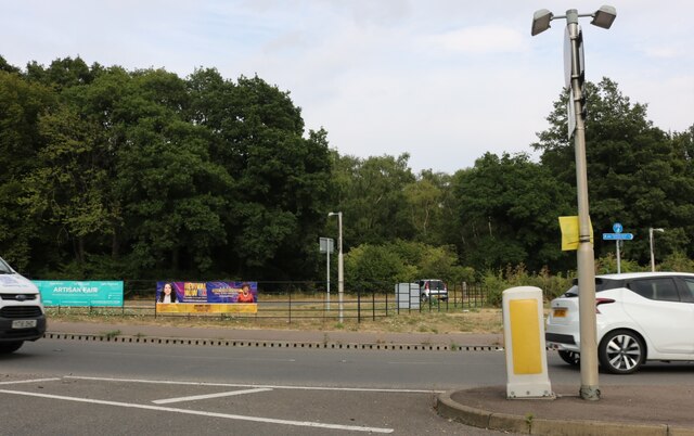
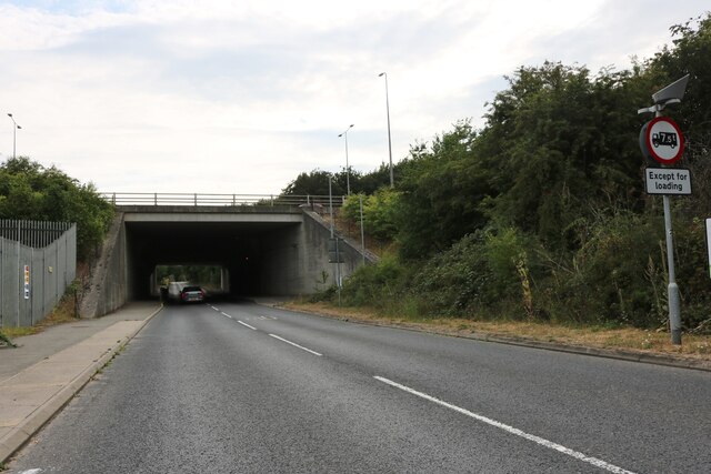
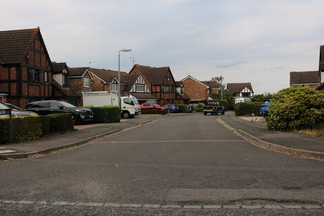
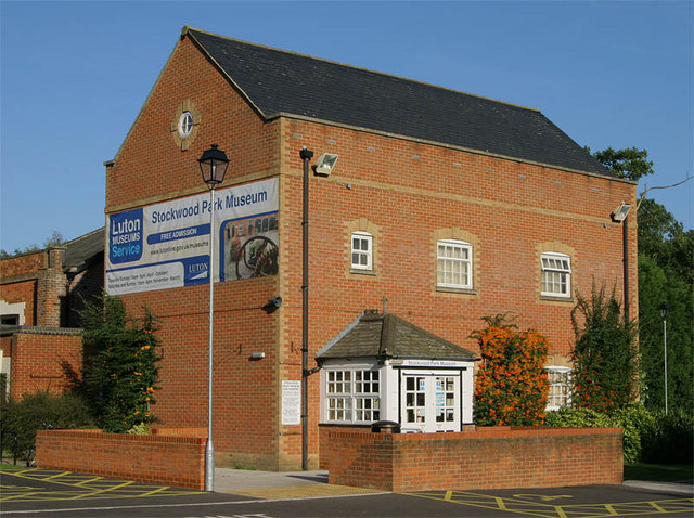
Bull Wood Images

Images are sourced within 2km of 51.859046/-0.40970286 or Grid Reference TL0919. Thanks to Geograph Open Source API. All images are credited.

Luton Hoo from the formal gardens Luton Hoo these days is a luxury 5 star hotel, but when it was owned by the Wernher family it boasted guest lists that included the Queen and Duke of Edinburgh and Sir Winston Churchill.
Luton Hoo from the formal gardens
Luton Hoo these days is a luxury 5 star hotel, but when it was owned by the Wernher family it boasted guest lists that included the Queen and Duke of Edinburgh and Sir Winston Churchill.
Beefeater and Premier Inn on Osborne Road, Luton
Gipsy Lane, Luton
Gipsy Lane, Luton
Someries Arch Someries Arch (spelt Soneries on the bridge sign) takes a track beneath the Midland Main Line railway and also the closed Dunstable to Welwyn branch line.  The site of Someries Castle is about 800m away, south of the Luton Airport runway.  The disused railway trackbed forms the Upper Lea Valley Walk between Luton and Harpenden.
Someries Arch
Someries Arch (spelt Soneries on the bridge sign) takes a track beneath the Midland Main Line railway and also the closed Dunstable to Welwyn branch line. The site of Someries Castle is about 800m away, south of the Luton Airport runway. The disused railway trackbed forms the Upper Lea Valley Walk between Luton and Harpenden.
Matrix gantry M1 northbound
Footbridge over M1 northbound
Warren Drive, Luton Hoo
Woodland in Luton Hoo
Warren Drive, Luton Hoo
Luton Hoo The stately home is now a hotel
Luton Hoo
The stately home is now a hotel
Luton Hoo The stately home is now a hotel <span class="nowrap"><a title="https://www.lutonhoo.co.uk/" rel="nofollow ugc noopener" href="https://www.lutonhoo.co.uk/">Link</a><img style="margin-left:2px;" alt="External link" title="External link - shift click to open in new window" src="https://s1.geograph.org.uk/img/external.png" width="10" height="10"/></span>
Luton Hoo
The stately home is now a hotel LinkExternal link
Luton Hoo Now a luxury hotel <span class="nowrap"><a title="https://www.lutonhoo.co.uk/" rel="nofollow ugc noopener" href="https://www.lutonhoo.co.uk/">Link</a><img style="margin-left:2px;" alt="External link" title="External link - shift click to open in new window" src="https://s1.geograph.org.uk/img/external.png" width="10" height="10"/></span>
Luton Hoo
Now a luxury hotel LinkExternal link
Luton Hoo
Luton Hoo
Kidney Wood, Luton By London Road
Kidney Wood, Luton
By London Road
Church Road going under the M1, Slip End
Prebendal Drive, Slip End
Show me another place!

Bull Wood is located at Grid Ref: TL0919 (Lat: 51.859046, Lng: -0.40970286)

Unitary Authority: Central Bedfordshire

Police Authority: Bedfordshire

What 3 Words

///stone.cities.thinks. Near Luton, Bedfordshire

Related Wikis

Mossman Collection

The Mossman Carriage Collection is a museum housing a collection of horse-drawn vehicles in Stockwood Park, Luton, Bedfordshire. It is the largest collection...

Luton Hoo

Luton Hoo is an English country house and estate near Luton in Bedfordshire and Harpenden in Hertfordshire. Most of the estate lies within the civil parish...

Stockwood Discovery Centre

Stockwood Discovery Centre, formerly known as Stockwood Craft Museum, is one of two free admission museums situated in Luton (the other is Wardown Park...

Stockwood Park

Stockwood Park is a large urban park in Luton, Bedfordshire, in the Farley Hill estate. With period formal gardens, leading crafts museums, Stockwood...

New Town, Luton

New Town is a district of Luton, just south east of the town centre, in Bedfordshire, England. It is roughly bounded by Castle Street and London Road to...

Crawley Green F.C.

Crawley Green Football Club is a football club based in Crawley Green, an area of Luton, Bedfordshire England. Affiliated to the Bedfordshire County Football...

South, Luton

South is the name for a ward in the southern part of Luton, in the Luton district, in the ceremonial county of Bedfordshire, England. The ward includes...

St Christopher Iba Mar Diop College of Medicine

St Christopher Iba Mar Diop College of Medicine was a medical training establishment in Luton, England, as a college within the University El Hadji Ibrahima...

Nearby Amenities

Located within 500m of 51.859046,-0.40970286
Power: tower
Lat/Long: 51.8587076/-0.4157117
Power: tower
Lat/Long: 51.8597335/-0.4130926
Power: tower
Lat/Long: 51.8618084/-0.4067534
Motorway Junction
Capability Green
Lat/Long: 51.8612813/-0.4105
Barrier: block
Lat/Long: 51.8583265/-0.4143993
Motorway Junction
Kidney Wood
Lat/Long: 51.8598994/-0.4136973
Bus Stop
Airport Way
Bus: yes
Public Transport: platform
Shelter: no
Lat/Long: 51.8558746/-0.4146017
Bus Stop
Airport Way
Bus: yes
Public Transport: platform
Shelter: no
Lat/Long: 51.8556907/-0.4142021
Speed Camera
Direction: -115
Mapillary: 472478253986389
Maxspeed: 70 mph
Lat/Long: 51.8598144/-0.4146637
Speed Camera
Direction: 220
Mapillary: 1214857652295782
Maxspeed: 50 mph
Lat/Long: 51.8614844/-0.4103531
Speed Camera
Average Speed: 50 mph
Direction: 50
Mapillary: 962983067782569
Maxspeed: 50 mph
Lat/Long: 51.8607686/-0.4110468
Speed Camera
Average Speed: 50 mph
Direction: 210
Mapillary: 4168189646570369
Maxspeed: 50 mph
Lat/Long: 51.8596169/-0.4150769
Speed Camera
Direction: 60
Mapillary: 967360834019674
Lat/Long: 51.8592635/-0.4150371
Give Way
Direction: forward
Lat/Long: 51.8632143/-0.409411
Give Way
Direction: backward
Lat/Long: 51.8631827/-0.4095049
Give Way
Direction: forward
Lat/Long: 51.8631745/-0.40953
Give Way
Direction: forward
Lat/Long: 51.8631617/-0.4096555
Give Way
Direction: backward
Lat/Long: 51.8631428/-0.4096273
Crossing
Crossing: unmarked
Crossing Island: yes
Crossing Markings: no
Tactile Paving: yes
Lat/Long: 51.8605138/-0.4165752
Crossing
Crossing: unmarked
Crossing Island: yes
Crossing Markings: no
Tactile Paving: yes
Lat/Long: 51.8603035/-0.4158441
Crossing
Crossing: unmarked
Crossing Island: yes
Crossing Markings: no
Tactile Paving: yes
Lat/Long: 51.8603139/-0.4160692
Crossing
Crossing: unmarked
Crossing Island: yes
Crossing Markings: no
Tactile Paving: yes
Lat/Long: 51.8561785/-0.4146876
Crossing
Crossing: unmarked
Crossing Island: yes
Crossing Markings: no
Tactile Paving: yes
Lat/Long: 51.8560926/-0.4148339
Crossing
Crossing: unmarked
Crossing Island: yes
Crossing Markings: no
Tactile Paving: yes
Lat/Long: 51.8612143/-0.4159037
The data included in this document is from www.openstreetmap.org. The data is made available under ODbL.

Have you been to Bull Wood?

Leave your review of Bull Wood below (or comments, questions and feedback).