Bellhouse Plantation
Wood, Forest in Lincolnshire North Kesteven
England
Bellhouse Plantation
Bellhouse Plantation is a sprawling woodland area located in Lincolnshire, England. Covering an extensive area of lush greenery and diverse flora, it is a captivating destination for nature enthusiasts and visitors seeking tranquility.
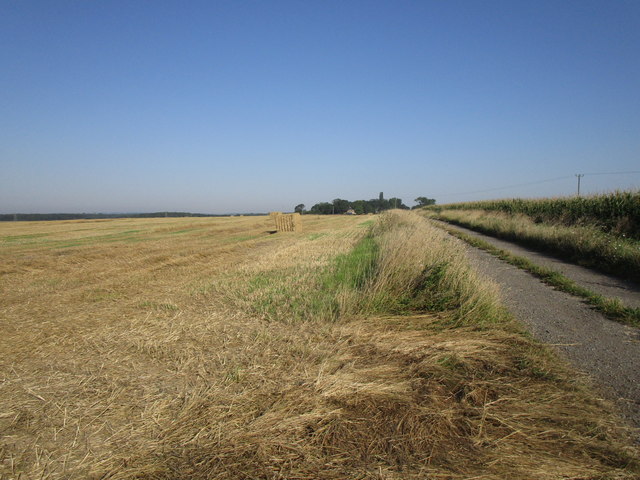
The plantation is primarily known for its dense forest, which is a haven for a variety of plant species. Towering oak, beech, and birch trees dominate the landscape, creating a picturesque scenery. The forest floor is adorned with a rich carpet of moss, ferns, and wildflowers, adding to the enchanting appeal of the plantation.
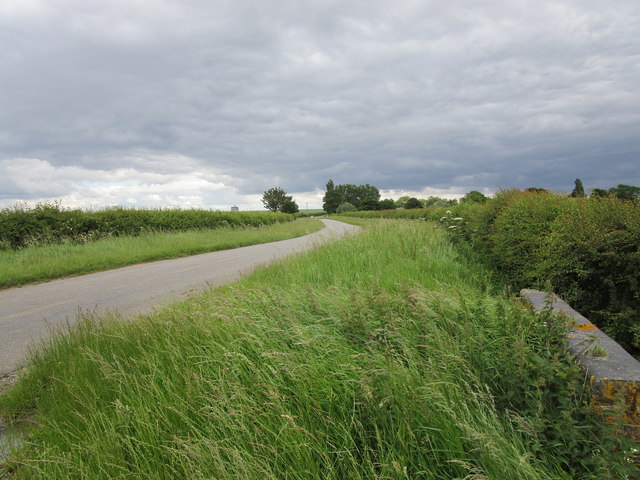
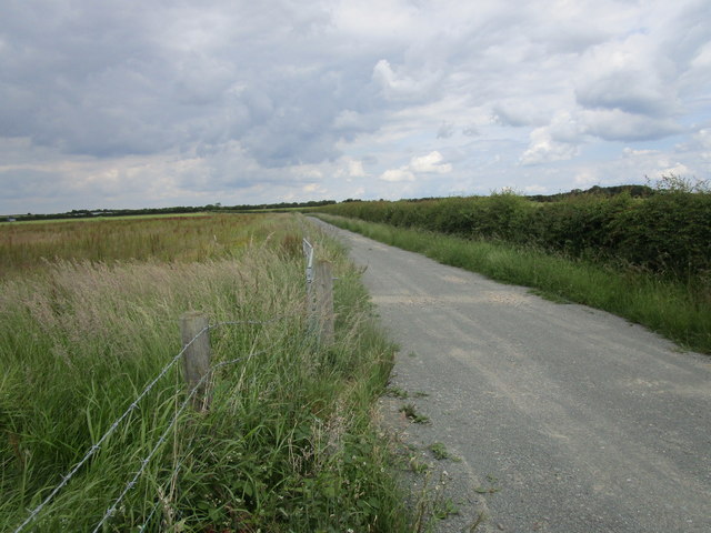
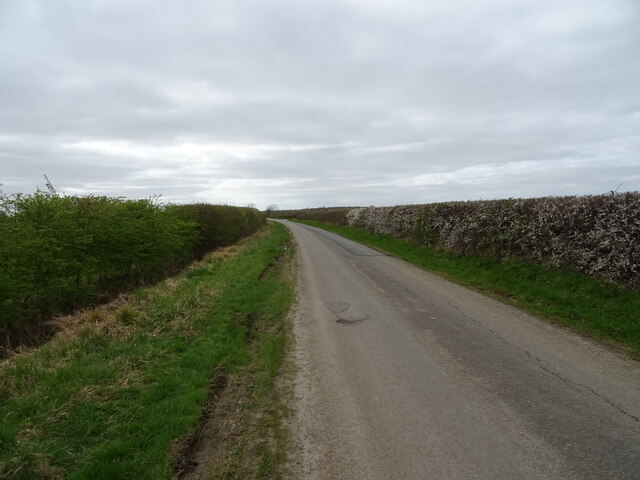
Traversing through the woodland, visitors can explore a network of well-maintained trails and pathways, allowing them to immerse themselves in the beauty of nature. These pathways offer an opportunity to observe the local wildlife, including deer, squirrels, and various bird species that call the plantation their home.
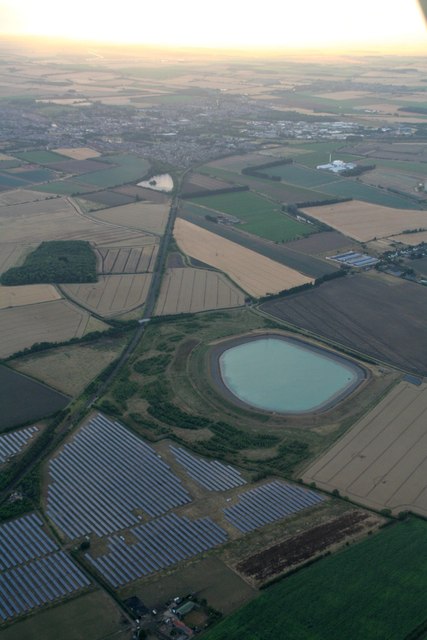
Bellhouse Plantation also boasts a serene lake, adding to its allure. The crystal-clear waters reflect the surrounding greenery, creating a mesmerizing vista. The lake offers a peaceful spot for picnics, fishing, or simply enjoying the scenic beauty.
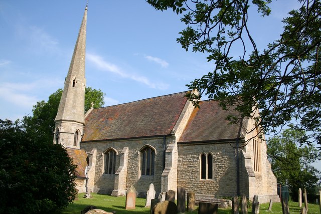
The plantation is not only a natural oasis but also a historical site. It has a rich heritage dating back centuries, with remnants of old structures and artifacts scattered throughout the plantation. These remnants serve as a reminder of the area's past and provide insight into its historical significance.
Overall, Bellhouse Plantation in Lincolnshire is a captivating destination where visitors can connect with nature, explore diverse ecosystems, and delve into the region's rich history. It offers a tranquil escape from the bustling city life and provides an opportunity to appreciate the beauty of the natural world.
If you have any feedback on the listing, please let us know in the comments section below.
Bellhouse Plantation Images
Images are sourced within 2km of 52.96783/-0.37011341 or Grid Reference TF0942. Thanks to Geograph Open Source API. All images are credited.


Bellhouse Plantation is located at Grid Ref: TF0942 (Lat: 52.96783, Lng: -0.37011341)
Administrative County: Lincolnshire
District: North Kesteven
Police Authority: Lincolnshire
What 3 Words
///unearthly.remotes.ants. Near Sleaford, Lincolnshire
Nearby Locations
Related Wikis

Aswarby and Scredington railway station
Aswarby and Scredington railway station was a station close to Scredington, Lincolnshire on the Great Northern Railway Bourne and Sleaford railway. It...
Scredington
Scredington is a village and civil parish in the North Kesteven district of Lincolnshire, England. The population of the civil parish at the 2011 census...

Burton Pedwardine
Burton Pedwardine is a hamlet and civil parish in the district of North Kesteven, Lincolnshire, England. The population at the 2011 census was 187. The...

Kirkby la Thorpe
Kirkby la Thorpe is a village and civil parish in North Kesteven district of Lincolnshire, England.The population at the 2011 census was 1,120. It lies...

Bass Maltings, Sleaford
The Bass Maltings in Sleaford, England are a large group of eight disused malt houses originally owned by the Bass Brewery of Burton upon Trent. Constructed...

Asgarby, North Kesteven
Asgarby is a hamlet in the civil parish of Asgarby and Howell, in the North Kesteven district of Lincolnshire, England. It is situated on the A17 Boston...

East Kesteven Rural District
East Kesteven was a rural district in Lincolnshire, Parts of Kesteven from 1931 to 1974. It was formed under a County Review Order, by the merger of most...
Sleaford Town F.C.
Sleaford Town F.C. is a football club based in Sleaford, Lincolnshire, England. The club plays in the United Counties League Premier Division North....
Nearby Amenities
Located within 500m of 52.96783,-0.37011341Have you been to Bellhouse Plantation?
Leave your review of Bellhouse Plantation below (or comments, questions and feedback).