Edworth

Settlement in Bedfordshire

England

Edworth

Biggleswade Windfarm and Stratton Business Park An aerial view from near Henlow. Three of the ten turbines are obscured by cloud <a href="https://www.geograph.org.uk/photo/4283818">TL2041 : Langford Windfarm</a>. Also known as Langford and Biggleswade Wind Farm, but just Biggleswade Wind Farm on the OS map.
Biggleswade Windfarm and Stratton Business Park Credit: M J Richardson

Edworth is a small village located in the county of Bedfordshire, England. Situated about seven miles northeast of the town of Biggleswade, it is nestled within the picturesque landscape of the Chiltern Hills. Edworth has a population of approximately 400 residents, making it a quiet and close-knit community.

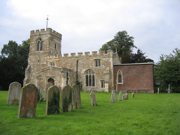
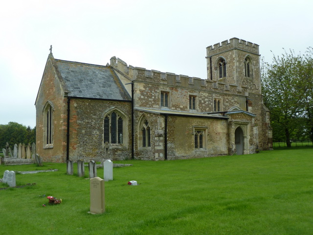
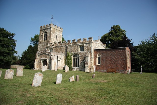
The village dates back to medieval times and is characterized by its charming and well-preserved historic buildings. The centerpiece of Edworth is its parish church, dedicated to St. George, which boasts an impressive 13th-century tower and beautiful stained glass windows. Other notable landmarks include a traditional village pub, The Green Man, which offers a warm and welcoming atmosphere to locals and visitors alike.

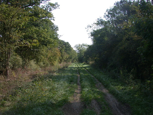
The surrounding countryside offers ample opportunities for outdoor activities, with numerous footpaths and bridleways leading through rolling hills and lush farmland. Edworth is also home to a thriving equestrian community, attracting horse enthusiasts from near and far.

Despite its small size, Edworth benefits from excellent transport links. The A1 road runs just to the west of the village, providing easy access to nearby towns and cities such as Bedford, Cambridge, and London. The village is also served by regular bus services, ensuring convenient connections to the wider region.

Edworth exudes a peaceful and idyllic ambiance, making it an attractive place for those seeking a tranquil rural lifestyle. With its rich history, natural beauty, and strong sense of community, Edworth offers a slice of traditional English village life.

If you have any feedback on the listing, please let us know in the comments section below.
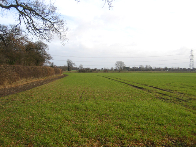
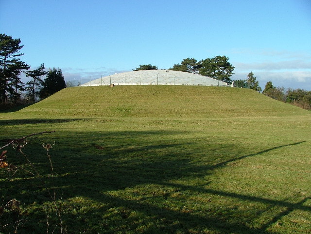
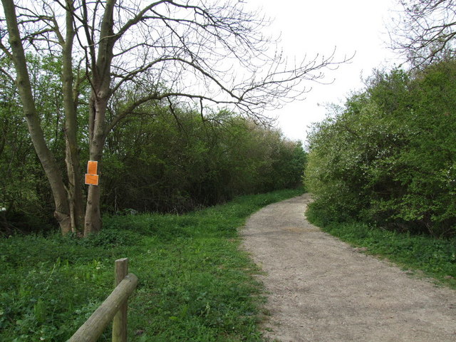
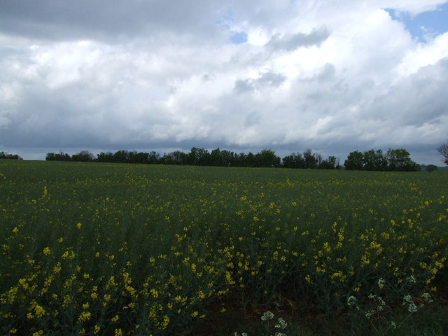
Edworth Images

Images are sourced within 2km of 52.053835/-0.218125 or Grid Reference TL2240. Thanks to Geograph Open Source API. All images are credited.

Biggleswade Windfarm and Stratton Business Park An aerial view from near Henlow. Three of the ten turbines are obscured by cloud <a href="https://www.geograph.org.uk/photo/4283818">TL2041 : Langford Windfarm</a>. Also known as Langford and Biggleswade Wind Farm, but just Biggleswade Wind Farm on the OS map.
Biggleswade Windfarm and Stratton Business Park
An aerial view from near Henlow. Three of the ten turbines are obscured by cloud TL2041 : Langford Windfarm. Also known as Langford and Biggleswade Wind Farm, but just Biggleswade Wind Farm on the OS map.
Hinxworth War memorial clock tower. An unusual war memorial and a distinctive feature of Hinxworth Village.
Hinxworth War memorial clock tower.
An unusual war memorial and a distinctive feature of Hinxworth Village.
Langford Water Tower, Beds The water tower is an imposing landmark on Topler's Hill beside the A1 Ermine Street, south of Biggleswade, Beds; view from the west.
Langford Water Tower, Beds
The water tower is an imposing landmark on Topler's Hill beside the A1 Ermine Street, south of Biggleswade, Beds; view from the west.
Farmland, Millow, Dunton, Beds SW of Millow with long, gentle slopes around the Chalky Boulder Clay plateau
Farmland, Millow, Dunton, Beds
SW of Millow with long, gentle slopes around the Chalky Boulder Clay plateau
Farmland, Edworth, Beds View NW across Chalky Boulder Clay soils.
Farmland, Edworth, Beds
View NW across Chalky Boulder Clay soils.
Hinxworth parish church, Hertfordshire Dedicated to St Nicholas.
Hinxworth parish church, Hertfordshire
Dedicated to St Nicholas.
The Old Rectory, Edworth, Beds – view from the SW.
The Old Rectory, Edworth, Beds
– view from the SW.
Manor Farm and parish church, Edworth, Beds – view from the NE; the church nestling behind the farm is dedicated to St George.
Manor Farm and parish church, Edworth, Beds
– view from the NE; the church nestling behind the farm is dedicated to St George.
Farmland, Edworth, Beds winter wheat growing in the NE part of the square.
Farmland, Edworth, Beds
winter wheat growing in the NE part of the square.
Langford covered reservoir. This reservoir sits next to the water tower.
Langford covered reservoir.
This reservoir sits next to the water tower.
Lane closed ahead.
Lane closed ahead.
Field between Edworth and the A1
Bridle Path to Stratton Farm The Bridle path from Millowbury enters grid-square TL2142 and turns north west along the hedge.
Bridle Path to Stratton Farm
The Bridle path from Millowbury enters grid-square TL2142 and turns north west along the hedge.
Loading up the Harvest Along the bridleway from Holme to Edworth, a tractor is seen loading bales onto a lorry.
Loading up the Harvest
Along the bridleway from Holme to Edworth, a tractor is seen loading bales onto a lorry.
Straw bale castle and some sort of agricultural machine Thanks to Michael Trolove for identifying this as a "pigtail" cultivator. The curl at the top of the spring tine is likened to a pigs tail!
Straw bale castle and some sort of agricultural machine
Thanks to Michael Trolove for identifying this as a "pigtail" cultivator. The curl at the top of the spring tine is likened to a pigs tail!
Irrigation control box on Newspring Farm
Green Lane living up to its name
Newspring Water Works By the side of the A1
Newspring Water Works
By the side of the A1
Show me another place!

Edworth is located at Grid Ref: TL2240 (Lat: 52.053835, Lng: -0.218125)

Unitary Authority: Central Bedfordshire

Police Authority: Bedfordshire

What 3 Words

///admit.sandwich.perplexed. Near Edworth, Bedfordshire

Nearby Locations

Edworth

Related Wikis

Edworth Manor

Edworth Manor was a manor in Bedfordshire, England. The manor was mentioned in the Domesday Book. The manor was owned in the 16th & 17th centuries by the...

Edworth

Edworth is a hamlet and civil parish in the Central Bedfordshire district of the county of Bedfordshire, England about 12 miles (19 km) south-east of the...

St George's Church, Edworth

St George's Church, Edworth, is a redundant Anglican church in the village of Edworth, Bedfordshire, England. It is recorded in the National Heritage...

Hinxworth

Hinxworth is a village and civil parish in North Hertfordshire, England. It sits just off the Great North Road between Baldock and Biggleswade. It has...

Nearby Amenities

Located within 500m of 52.053835,-0.218125
Edworth
Place: hamlet
Source: npe
Lat/Long: 52.0549013/-0.212615
The data included in this document is from www.openstreetmap.org. The data is made available under ODbL.

Have you been to Edworth?

Leave your review of Edworth below (or comments, questions and feedback).