Whitehill Wood
Wood, Forest in Hertfordshire St. Albans
England
Whitehill Wood
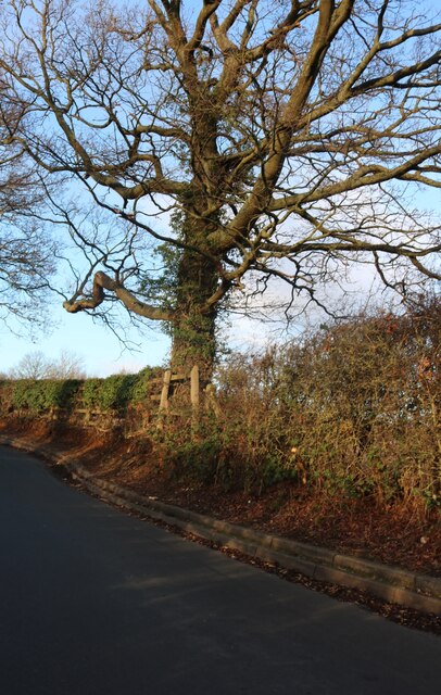
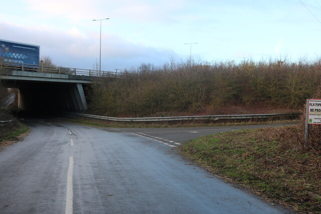
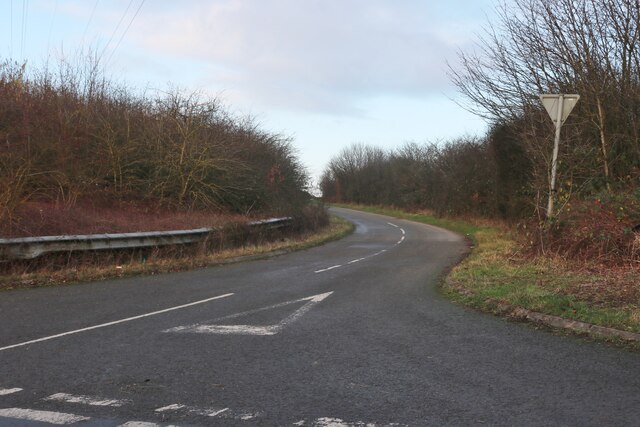
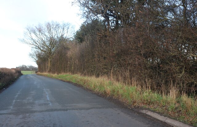
Whitehill Wood is a picturesque woodland located in Hertfordshire, England. Spread over an area of approximately 100 acres, it is a popular destination for nature enthusiasts and hikers alike.
The wood is characterized by its dense canopy of predominantly deciduous trees, including oak, beech, and ash. These towering trees provide a tranquil and serene atmosphere, making it an ideal escape from the bustling city life. The forest floor is covered with a rich carpet of wildflowers, ferns, and mosses, adding to the beauty and diversity of the wood.
Whitehill Wood boasts a thriving ecosystem, supporting a variety of wildlife. Birdwatchers can expect to spot species such as woodpeckers, owls, and various songbirds, while the more observant visitor may come across small mammals like foxes, badgers, and rabbits. The wood is also home to a wide range of insects and butterflies, which add splashes of color to the landscape.
Several well-marked trails wind their way through the wood, providing visitors with the opportunity to explore and discover its hidden treasures. These trails vary in length and difficulty, catering to both casual strollers and avid hikers. Along the way, benches and picnic areas are scattered for those who wish to take a break and enjoy the peaceful surroundings.
Whitehill Wood is managed and maintained by the local authorities, ensuring its preservation and conservation for future generations to enjoy. It offers a chance to reconnect with nature and experience the tranquility of a woodland environment.
If you have any feedback on the listing, please let us know in the comments section below.
Whitehill Wood Images
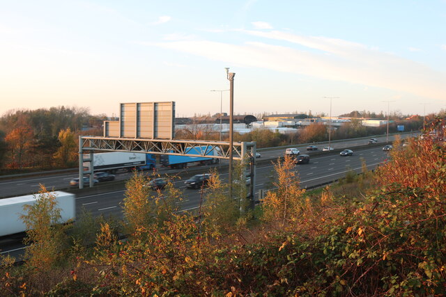
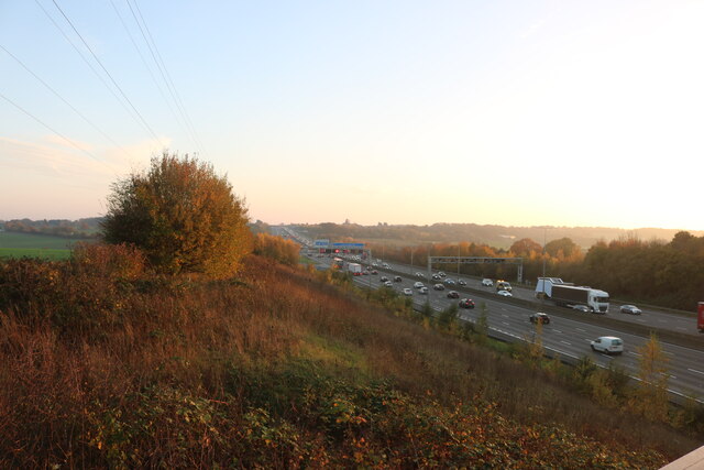
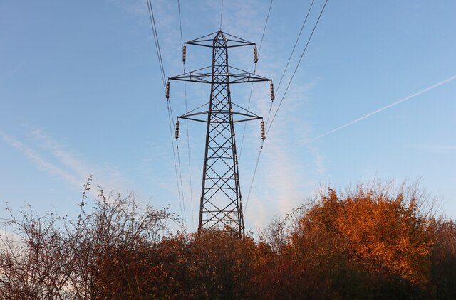
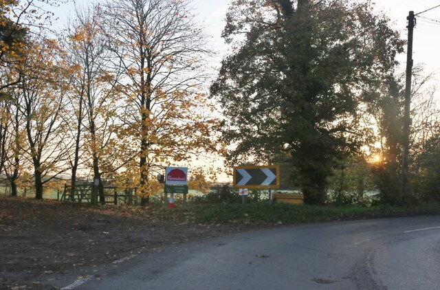
Images are sourced within 2km of 51.817735/-0.41681602 or Grid Reference TL0914. Thanks to Geograph Open Source API. All images are credited.


Whitehill Wood is located at Grid Ref: TL0914 (Lat: 51.817735, Lng: -0.41681602)
Administrative County: Hertfordshire
District: St. Albans
Police Authority: Hertfordshire
What 3 Words
///bumpy.scales.town. Near Redbourn, Hertfordshire
Nearby Locations
Related Wikis
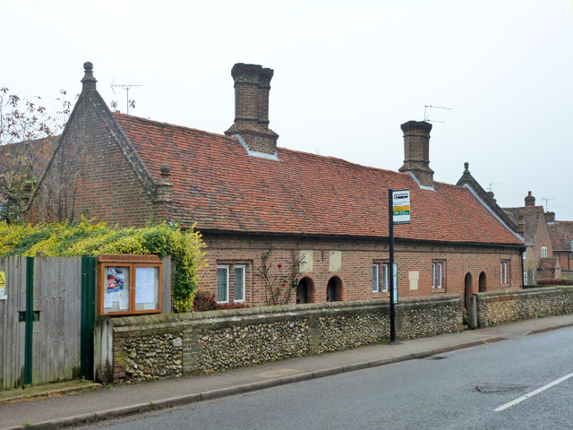
Saunders Almshouses
The Saunders Almshouses are Grade II* listed almshouses in Flamstead, Hertfordshire, England. They date from 1669 and were built for Thomas Saunders of...

Flamstead
Flamstead is a village and civil parish in north-west Hertfordshire, England, close to the junction of the A5 and the M1 motorway at junction 9. The name...

Harpenden Rural
Harpenden Rural is a civil parish in the City and District of St Albans in Hertfordshire, England, to the west of Harpenden parish. The local council is...
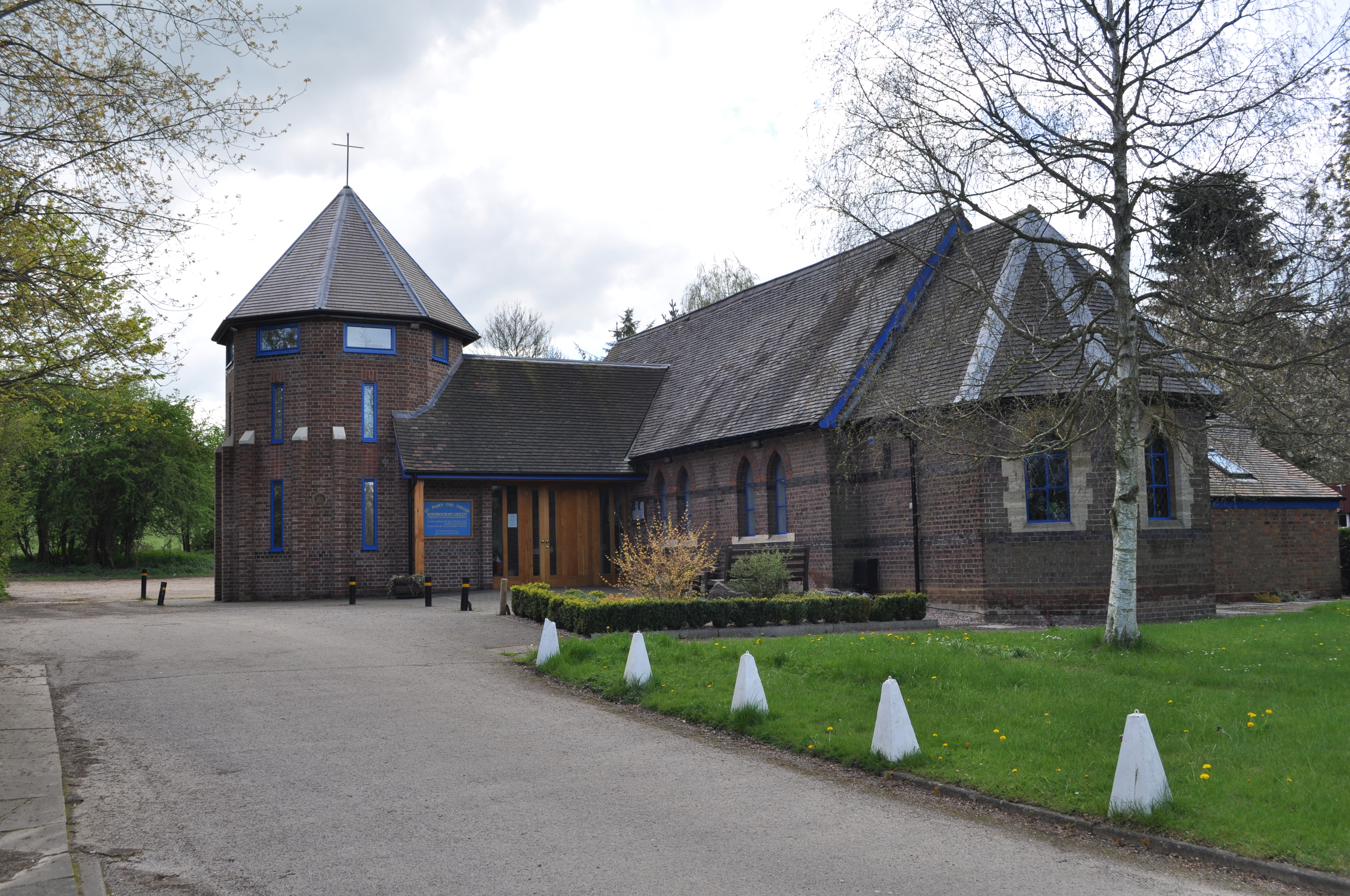
Kinsbourne Green
Kinsbourne Green is a small hamlet to the north-west of Harpenden in Hertfordshire, England. The hamlet is now geographically virtually contiguous with...
Redbourn
Redbourn is a village and civil parish in Hertfordshire, England, lying on Watling Street, three miles (4.8 km) from Harpenden, four miles (6.4 km) from...
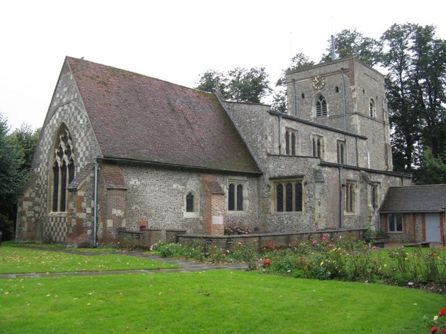
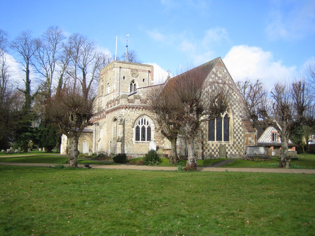
St Mary's Church, Redbourn
St Mary's Church is an active Grade I listed parish church in the Church of England in Redbourn, Hertfordshire, England. The building is Grade I listed...
Redbourn railway station
Redbourn railway station served the village of Redbourn, Hertfordshire, England from 1887 to 1964 on the Nickey Line. == History == The station opened...
Roundwood Park School
Roundwood Park School is a non-selective state secondary school with academy status situated in Harpenden, Hertfordshire, UK. Opened in 1956, it currently...
Nearby Amenities
Located within 500m of 51.817735,-0.41681602Have you been to Whitehill Wood?
Leave your review of Whitehill Wood below (or comments, questions and feedback).