Dole Wood

Wood, Forest in Lincolnshire South Kesteven

England

Dole Wood

Village store and Post Office, Thurlby
Village store and Post Office, Thurlby Credit: Jonathan Thacker

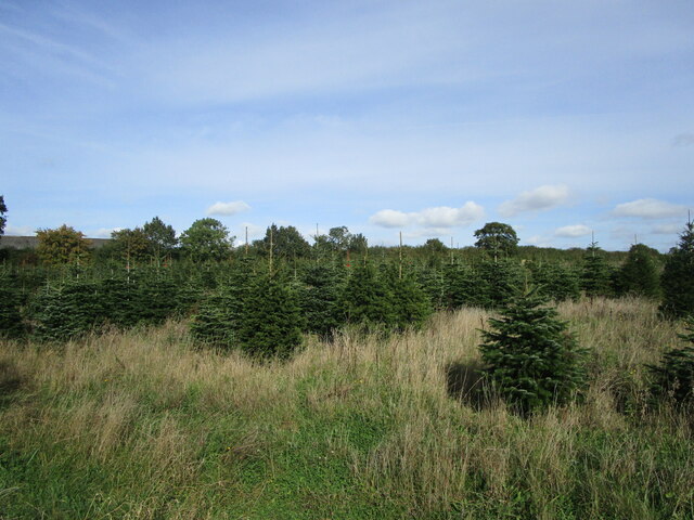
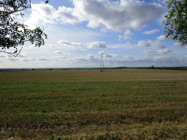
Dole Wood is a picturesque and enchanting forest located in Lincolnshire, England. Covering an area of approximately 100 acres, this wood is a haven for nature enthusiasts and those seeking tranquility amidst the natural beauty of the countryside.

The wood is predominantly composed of a diverse range of deciduous trees, including oak, birch, and beech, which create a vibrant and ever-changing landscape throughout the seasons. The dense canopy provides shade during the summer months, making it a perfect spot for a leisurely stroll or a picnic.

Dole Wood is home to a rich variety of wildlife, offering an opportunity for visitors to observe and appreciate nature up close. Squirrels can be seen darting from tree to tree, while birds such as blue tits, great tits, and woodpeckers fill the air with their melodic songs. The wood is also a habitat for various species of butterflies, adding a touch of color to the surroundings.

For those interested in history, Dole Wood holds significance as it was once part of the ancient Forest of Kesteven. The forest has witnessed centuries of human activity, with remnants of old pathways and boundary markers still visible today.

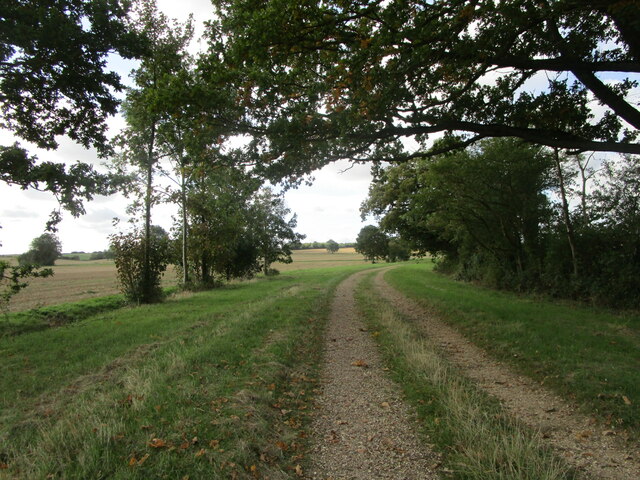
Walking trails meander through the wood, allowing visitors to explore its enchanting corners. The peaceful ambiance and abundance of natural beauty make Dole Wood a popular destination for hikers, nature photographers, and families looking to reconnect with nature.

In summary, Dole Wood in Lincolnshire is a captivating forest offering a serene escape from the hustle and bustle of everyday life. With its diverse flora and fauna, it is a haven for nature lovers and a place to immerse oneself in the beauty of the British countryside.

If you have any feedback on the listing, please let us know in the comments section below.
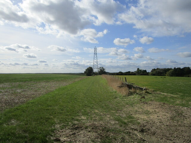
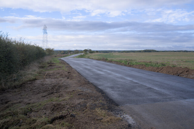
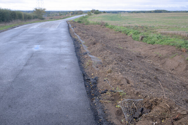
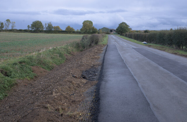
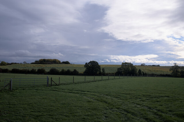
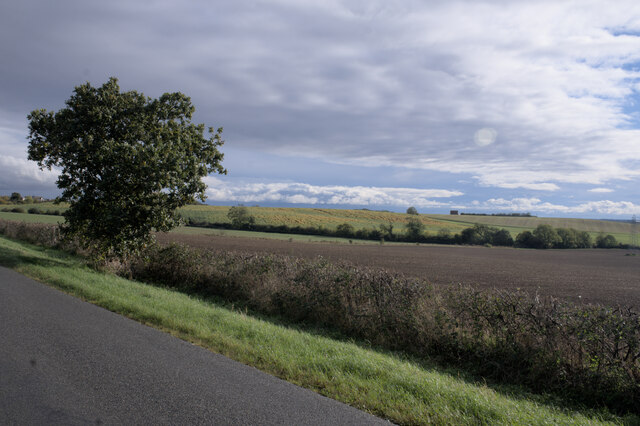
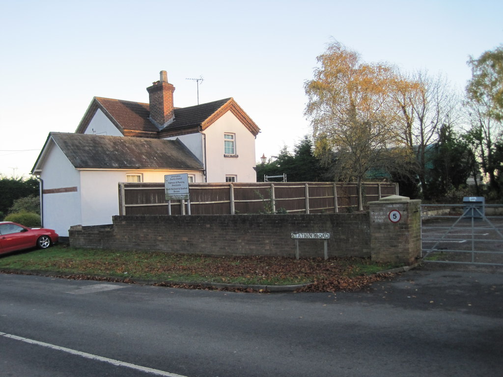
Dole Wood Images

Images are sourced within 2km of 52.732041/-0.38468278 or Grid Reference TF0916. Thanks to Geograph Open Source API. All images are credited.

Village store and Post Office, Thurlby
Maple Avenue, Thurlby
Christmas tree plantation near Thurlby
Prepared field and Math Wood
Farm track near Northorpe
Stubble field and pylon near Toft
Field boundary and pylon near Roundhills Lodge
Lane to Manthorpe
Lane to Manthorpe
Farm track near Obthorpe
New road surface This was closed for a week to effect these repairs.  This is the spot seen in <a href="https://www.geograph.org.uk/photo/6865678">TF0716 : Badger hole</a> and <a href="https://www.geograph.org.uk/photo/6859588">TF0716 : The works of the badger</a>, where between spring 2019 and autumn 2021 the road was reduced to single lane working because it had been undermined by badgers.  Substantial repairs have now been completed.

See <a href="https://www.geograph.org.uk/photo/7004497">TF0716 : Badger-proof verge</a> <a href="https://www.geograph.org.uk/photo/7004499">TF0716 : Construction detail</a> and <a href="https://www.geograph.org.uk/photo/7004502">TF0816 : Verge repairs </a> for more details
New road surface
This was closed for a week to effect these repairs. This is the spot seen in TF0716 : Badger hole and TF0716 : The works of the badger, where between spring 2019 and autumn 2021 the road was reduced to single lane working because it had been undermined by badgers. Substantial repairs have now been completed. See TF0716 : Badger-proof verge TF0716 : Construction detail and TF0816 : Verge repairs for more details
Badger-proof verge In an attempt to stop the recurrence of a badger-induced road collapse, the verge has been removed, lined with steel mesh, and reinstated over a considerable distance. (about 2 minutes walk for a badger).

See also <a href="https://www.geograph.org.uk/photo/6865678">TF0716 : Badger hole</a> and <a href="https://www.geograph.org.uk/photo/7004492">TF0716 : New road surface</a>.
Badger-proof verge
In an attempt to stop the recurrence of a badger-induced road collapse, the verge has been removed, lined with steel mesh, and reinstated over a considerable distance. (about 2 minutes walk for a badger). See also TF0716 : Badger hole and TF0716 : New road surface.
Construction detail The precautions described in <a href="https://www.geograph.org.uk/photo/7004497">TF0716 : Badger-proof verge</a> against burrowing under the road.

The same technique can be seen in <a href="https://www.geograph.org.uk/photo/7004502">TF0816 : Verge repairs </a>.
Construction detail
The precautions described in TF0716 : Badger-proof verge against burrowing under the road. The same technique can be seen in TF0816 : Verge repairs .
Verge repairs  At either end of the new surface seen in <a href="https://www.geograph.org.uk/photo/7004492">TF0716 : New road surface</a> the verge edges have been repaired and the verge reinforced as seen in <a href="https://www.geograph.org.uk/photo/7004499">TF0716 : Construction detail</a>.
Verge repairs
At either end of the new surface seen in TF0716 : New road surface the verge edges have been repaired and the verge reinforced as seen in TF0716 : Construction detail.
Clouds and hillside Funny old game, photography.  The large stand of maize on the hill looked vivid against the green of winter wheat and the grey clouds.  Out of the camera, the clouds have acquired a luscious detail, and the crop has faded into the background.
Clouds and hillside
Funny old game, photography. The large stand of maize on the hill looked vivid against the green of winter wheat and the grey clouds. Out of the camera, the clouds have acquired a luscious detail, and the crop has faded into the background.
Looking south These tiny hills are of an entirely lovely scale  Who can be untouched by them?
Looking south
These tiny hills are of an entirely lovely scale Who can be untouched by them?
Stormlight The morning rains were departing, allowing the low autumn sun to peek under the clouds from the south, and picking out the trees individually against what dark clouds persisted.
Stormlight
The morning rains were departing, allowing the low autumn sun to peek under the clouds from the south, and picking out the trees individually against what dark clouds persisted.
Walking up the hill The road here is lined with trees, and invitingly at the top are the sunlit trio seen in <a href="https://www.geograph.org.uk/photo/7004526">TF0716 : Stormlight</a>.
Walking up the hill
The road here is lined with trees, and invitingly at the top are the sunlit trio seen in TF0716 : Stormlight.
More sunlight Not unlike the view in <a href="https://www.geograph.org.uk/photo/7004513">TF0816 : Clouds and hillside</a>, but with rapidly improving light.
More sunlight
Not unlike the view in TF0816 : Clouds and hillside, but with rapidly improving light.
Show me another place!

Dole Wood is located at Grid Ref: TF0916 (Lat: 52.732041, Lng: -0.38468278)

Administrative County: Lincolnshire

District: South Kesteven

Police Authority: Lincolnshire

What 3 Words

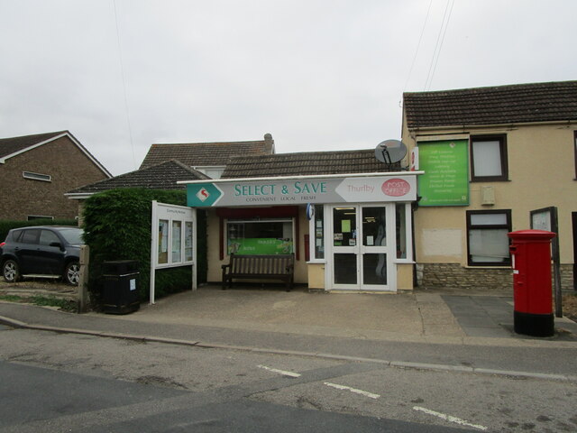
///reference.split.spooked. Near Thurlby, Lincolnshire

Nearby Locations

Thurlby Dole Wood

Related Wikis

Thurlby railway station

Thurlby railway station was a station in Thurlby by Bourne, Lincolnshire on the Bourn and Essendine Railway between Essendine and Bourne. It was closed...

Thurlby, South Kesteven

Thurlby is a village and civil parish in the South Kesteven district of Lincolnshire, England. It is situated just west of the A15 road, 2 miles (3 km...

Obthorpe

Obthorpe is a hamlet in the civil parish of Thurlby, in the South Kesteven district of Lincolnshire, England. It lies 3 miles (5 km) south from Bourne...

Wilsthorpe Crossing Halt railway station

Wilsthorpe Crossing Halt railway station was on the branch line between Bourne and Essendine, Lincolnshire, England. == History == The line of the Bourn...

Nearby Amenities

Located within 500m of 52.732041,-0.38468278
Thurlby
Historic Railway: station
Railway: site
Wikidata: Q7799312
Wikipedia: en:Thurlby railway station
Lat/Long: 52.7362511/-0.3834406
Power: tower
Lat/Long: 52.7309885/-0.3812604
Power: tower
Lat/Long: 52.7295758/-0.3801751
Power: tower
Lat/Long: 52.7355501/-0.3848513
The data included in this document is from www.openstreetmap.org. The data is made available under ODbL.

Have you been to Dole Wood?

Leave your review of Dole Wood below (or comments, questions and feedback).