Askern

Settlement in Yorkshire

England

Askern

Eden Drive, Askern (1)
Eden Drive, Askern (1) Credit: Richard Vince

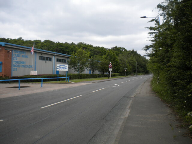
Askern is a small town located in the Metropolitan Borough of Doncaster, in the county of Yorkshire, England. It is situated approximately 11 miles northeast of Doncaster and has a population of around 5,000 people. The town lies on the A19 road, which provides easy access to neighboring towns and cities.

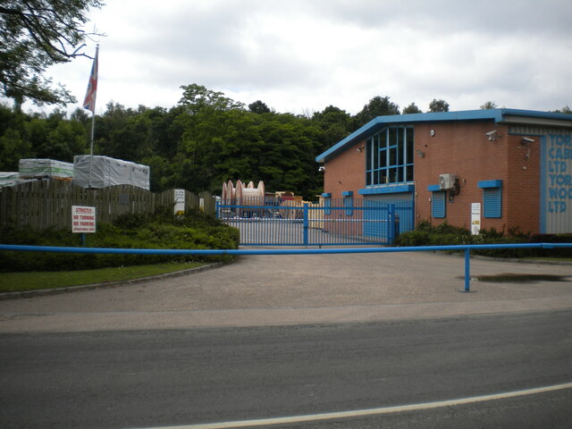
Historically, Askern was a mining town, with coal being the primary industry that sustained its economy. The closure of the local colliery in 1993 had a significant impact on the community, leading to a decline in employment opportunities. However, the town has since seen some regeneration efforts, and a few small businesses and shops have emerged in its center.

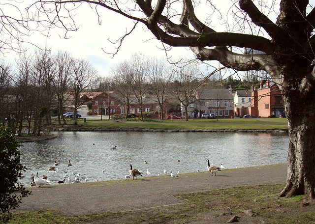
Askern has a range of amenities and facilities to cater to its residents. These include a primary school, a library, a community center, and a medical practice. The town also boasts several green spaces, such as Askern Lake, a local nature reserve that offers recreational activities like fishing and bird-watching.

Public transportation in Askern is primarily served by bus routes, connecting the town to nearby Doncaster and other surrounding areas. There is currently no railway station in Askern, with the closest one being in Adwick-le-Street, approximately 4 miles away.

Overall, Askern is a quiet and close-knit community with a rich mining heritage. While it may not offer extensive amenities and employment opportunities, its residents enjoy a peaceful lifestyle and benefit from its proximity to larger towns and cities in Yorkshire.

If you have any feedback on the listing, please let us know in the comments section below.
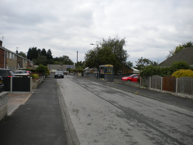
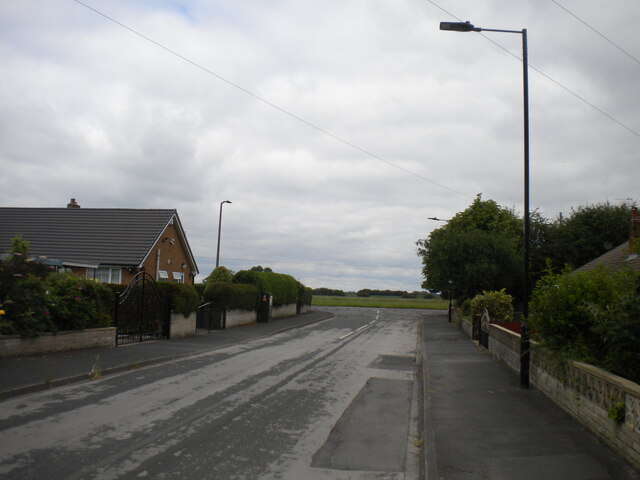
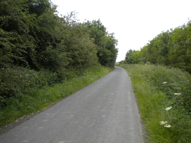
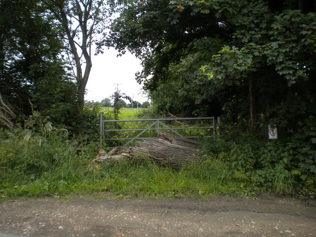
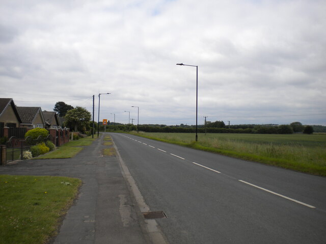
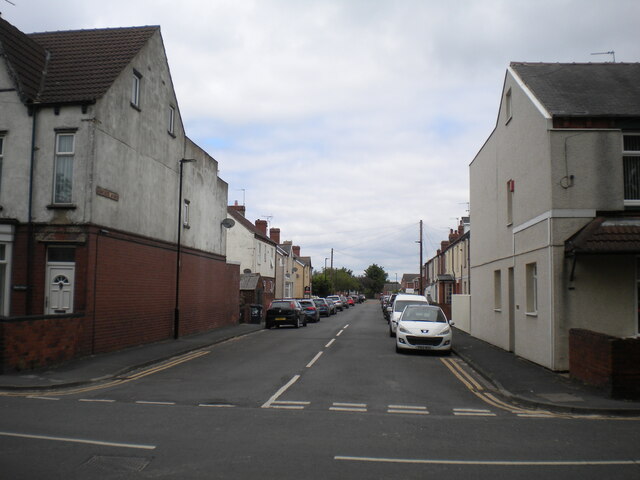
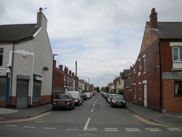
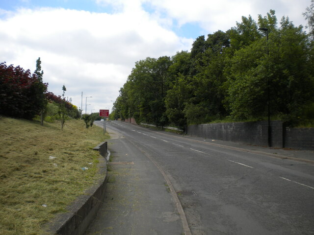
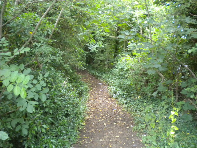
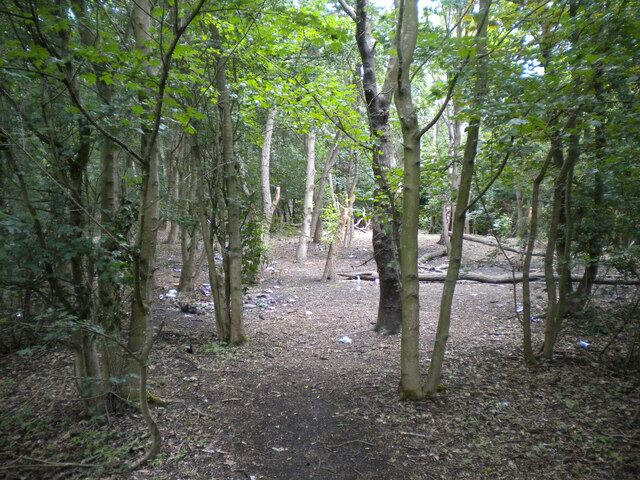
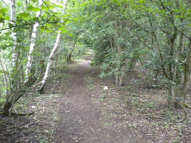
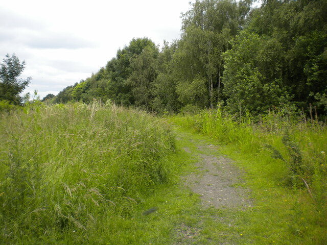
Askern Images

Images are sourced within 2km of 53.61598/-1.152242 or Grid Reference SE5613. Thanks to Geograph Open Source API. All images are credited.

Eden Drive, Askern (1)
Eden Drive, Askern (2) Approaching Moss Road at the eastern extremity of the town.
Eden Drive, Askern (2)
Approaching Moss Road at the eastern extremity of the town.
Fenwick Lane, Askern Heading into farmland to the north east of the town.
Fenwick Lane, Askern
Heading into farmland to the north east of the town.
Obstructed gate off Fenwick Lane, Askern Someone really doesn't want the gate to be opened.
Obstructed gate off Fenwick Lane, Askern
Someone really doesn't want the gate to be opened.
Moss Road entering Askern Separating the houses at the eastern edge of the town (left) from farmland.
Moss Road entering Askern
Separating the houses at the eastern edge of the town (left) from farmland.
Sunnymede Avenue, Askern Off Moss Road.
Sunnymede Avenue, Askern
Off Moss Road.
Queen's Road, Askern Off Moss Road at the eastern edge of the town centre.
Queen's Road, Askern
Off Moss Road at the eastern edge of the town centre.
Campsall Road, Askern
Public footpath off Campsall Road, Askern
Woodland north of Askern Unfortunately playing host to a fair amount of litter.
Woodland north of Askern
Unfortunately playing host to a fair amount of litter.
Footpath through woodland north of Askern Heading towards Norton.
Footpath through woodland north of Askern
Heading towards Norton.
Track north of Askern Threading a course between a solar farm (out of frame to the left) and woodland (right).
Track north of Askern
Threading a course between a solar farm (out of frame to the left) and woodland (right).
Selby Road leaving Askern Passing some industrial premises as it leaves the town.
Selby Road leaving Askern
Passing some industrial premises as it leaves the town.
Entrance to industrial premises, Askern Off Selby Road.
Entrance to industrial premises, Askern
Off Selby Road.
Church Field Road, Campsall
Church of St Mary Magdalene at Campsall Grade I listed village church with evidence of evolving construction work over a thousand years.
Church of St Mary Magdalene at Campsall
Grade I listed village church with evidence of evolving construction work over a thousand years.
West door at Campsall Parish church I understand that it dates back to the twelfth century. The Grade I listed church is dedicated to St Mary Magdalene.
West door at Campsall Parish church
I understand that it dates back to the twelfth century. The Grade I listed church is dedicated to St Mary Magdalene.
Campsall Church (Grade I listed) Dedicated to St Mary Magdalene
Campsall Church (Grade I listed)
Dedicated to St Mary Magdalene
Show me another place!

Askern is located at Grid Ref: SE5613 (Lat: 53.61598, Lng: -1.152242)

Division: West Riding

Unitary Authority: Doncaster

Police Authority: South Yorkshire

What 3 Words

///framework.talkative.fillings. Near Askern, South Yorkshire

Nearby Locations

Askern Askern

Related Wikis

Norton & Askern (ward)

Norton & Askern—consisting of the town of Askern, Braithwaite, Burghwallis, Campsall, Fenwick, Fishlake, Fosterhouses, Kirk Bramwith, Moss, Norton, Owston...

Askern

Askern () is a town and civil parish within the City of Doncaster, in South Yorkshire, England. It is on the A19 road between Doncaster and Selby. Historically...

Askern railway station

Askern railway station was a station on the Askern branch line of the former Lancashire & Yorkshire Railway between Doncaster and Knottingley. It served...

Askern Miners F.C.

Askern Miners Football Club is a football club based in Askern, Doncaster, South Yorkshire, England. They are currently members of the Doncaster Saturday...

Sutton, South Yorkshire

Sutton is a small village and former civil parish, now in the parish of Norton, in the City of Doncaster in South Yorkshire, England. It lies at approximately...

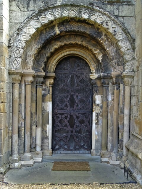
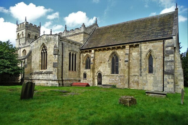
St Mary Magdalene, Campsall

St Mary Magdalene is a parish church in the Church of England in Campsall in South Yorkshire. It is Grade I listed. There is a service every Sunday at...
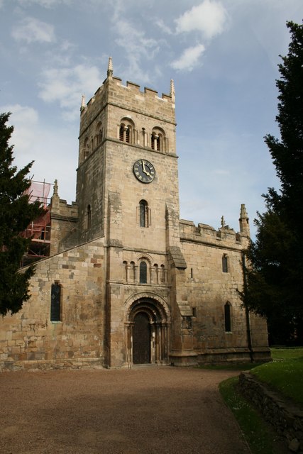
Campsall

Campsall is a village and former civil parish, now in the parish of Norton, in the Doncaster district, in the county of South Yorkshire, England. It lies...

Norton railway station (South Yorkshire)

Norton (South Yorkshire) railway station was a railway station to serve Norton, South Yorkshire, England. It was built by the Wakefield, Pontefract and...

Nearby Amenities

Located within 500m of 53.61598,-1.152242
Askern
Place: town
Wikidata: Q2555402
Wikipedia: en:Askern
Lat/Long: 53.6167934/-1.1531828
Bus Stop
Station Road/Spa Terrace
Alt Name: Station Road/Spa Terrace
Naptan AltCommonName: Station Road/Spa Terrace
Naptan AtcoCode: 370040093
Naptan Bearing: E
Naptan CommonName: Station Road/Spa Terrace
Naptan Indicator: 40093
Naptan Landmark: 40093
Naptan PlusbusZoneRef: ROTHCEN
Naptan Street: Station Road
Naptan Verified: no
Source: naptan_import
Lat/Long: 53.6160665/-1.151032
Bus Stop
Moss Road/Kings Road
Alt Name: Moss Road/Kings Road
Naptan AltCommonName: Moss Road/Kings Road
Naptan AtcoCode: 370040094
Naptan Bearing: E
Naptan CommonName: Moss Road/Kings Road
Naptan Indicator: 40094
Naptan Landmark: 40094
Naptan PlusbusZoneRef: ROTHCEN
Naptan Street: Moss Road
Naptan Verified: no
Source: naptan_import
Lat/Long: 53.6164293/-1.1453817
Bus Stop
Station Road/Thompson Terrace
Alt Name: Station Road/Thompson Terrace
Naptan AltCommonName: Station Road/Thompson Terrace
Naptan AtcoCode: 370040098
Naptan Bearing: W
Naptan CommonName: Station Road/Thompson Terrace
Naptan Indicator: 40098
Naptan Landmark: 40098
Naptan PlusbusZoneRef: ROTHCEN
Naptan Street: Station Road
Naptan Verified: no
Source: naptan_import
Lat/Long: 53.6161321/-1.1478216
Bus Stop
Station Road/High Street
Alt Name: Station Road/High Street
Naptan AltCommonName: Station Road/High Street
Naptan AtcoCode: 370040099
Naptan Bearing: W
Naptan CommonName: Station Road/High Street
Naptan Indicator: 40099
Naptan Landmark: Askern Lake
Naptan PlusbusZoneRef: ROTHCEN
Naptan Street: Station Road
Naptan Verified: no
Source: naptan_import
Lat/Long: 53.6159388/-1.1510811
Bus Stop
High Street/Doncaster Road
Naptan AtcoCode: 370040100
Naptan Bearing: S
Naptan CommonName: High Street/Doncaster Road
Naptan Indicator: 40100
Naptan Landmark: 40100
Naptan PlusbusZoneRef: ROTHCEN
Naptan Street: High Street
Naptan Verified: no
Source: naptan_import
Lat/Long: 53.6134297/-1.1520784
Bus Stop
Selby Road/Campsall Road
Alt Name: Selby Road/Campsall Road
Naptan AltCommonName: Selby Road/Campsall Road
Naptan AtcoCode: 370045496
Naptan Bearing: N
Naptan CommonName: Selby Road/Campsall Road
Naptan Indicator: 45496
Naptan Landmark: SUPERMARKET
Naptan PlusbusZoneRef: ROTHCEN
Naptan Street: Selby Road
Naptan Verified: no
Source: naptan_import
Lat/Long: 53.6171197/-1.1529928
Bus Stop
Selby Road/Station Road
Alt Name: Selby Road/Station Road
Naptan AltCommonName: Selby Road/Station Road
Naptan AtcoCode: 370045497
Naptan Bearing: S
Naptan CommonName: Selby Road/Station Road
Naptan Indicator: 45497
Naptan Landmark: ST PETERS CHURCH
Naptan PlusbusZoneRef: ROTHCEN
Naptan Street: Selby Road
Naptan Verified: no
Source: naptan_import
Lat/Long: 53.6168766/-1.1526594
Bus Stop
Moss Road/Highfield Road
Alt Name: Moss Road/Highfield Road
Naptan AltCommonName: Moss Road/Highfield Road
Naptan AtcoCode: 370045498
Naptan Bearing: W
Naptan CommonName: Moss Road/Highfield Road
Naptan Indicator: 45498
Naptan Landmark: CHURCH
Naptan PlusbusZoneRef: ROTHCEN
Naptan Street: Moss Road
Naptan Verified: no
Source: naptan_import
Lat/Long: 53.6162498/-1.1458257
Bus Stop
Station Road/Thompson Terrace
Naptan AltCommonName: Station Road/Thompson Terrace
Naptan AtcoCode: 370045763
Naptan Bearing: E
Naptan BusStopType: CUS
Naptan CommonName: Station Road/Thompson Terrace
Naptan Indicator: 45763
Naptan Landmark: RAILWAY CROSSING/CHAPEL HOUSE
Naptan PlusbusZoneRef: ROTHCEN
Naptan Street: Station Road
Naptan Verified: no
Source: naptan_import
Lat/Long: 53.6162756/-1.1477583
High Street/Askern Lane
Alt Name: High Street/Askern Lane
Naptan AltCommonName: High Street/Askern Lane
Naptan AtcoCode: 370045764
Naptan Bearing: N
Naptan BusStopType: CUS
Naptan CommonName: High Street/Askern Lane
Naptan Indicator: 45764
Naptan Landmark: ASKERN SAW MILLS
Naptan PlusbusZoneRef: ROTHCEN
Naptan Street: High Street
Naptan Verified: no
Source: naptan_import
Lat/Long: 53.6134763/-1.1523042
Crossing
Crossing: island
Lat/Long: 53.6160082/-1.1513344
Barrier: cycle_barrier
Bicycle: yes
Foot: yes
Motor Vehicle: no
Lat/Long: 53.6152121/-1.1555021
Railway: dismantled_colliery
Lat/Long: 53.6124958/-1.1564841
Askern
Historic Railway: station
Railway: site
Wikidata: Q4807178
Lat/Long: 53.6171634/-1.1495302
Place Of Worship
Askern Methodist Church
Denomination: methodist
Religion: christian
Lat/Long: 53.6161363/-1.1455999
Fast Food
Chilly's
Addr City: Doncaster
Addr Country: GB
Addr Housenumber: 26
Addr Postcode: DN6 0JA
Addr Street: Station Road
Addr Suburb: Askern
Cuisine: pizza
Fhrs Id: 367709
Website: https://take-a-way.co.uk/menu/4914/chillys-of-askern-doncaster/
Lat/Long: 53.6161341/-1.1509426
Fast Food
Diamond City
Addr City: Doncaster
Addr Housenumber: 1
Addr Postcode: DN6 0HY
Addr Street: Market Place
Addr Suburb: Askern
Cuisine: chinese
Source: http://take-a-way.co.uk
Website: https://take-a-way.co.uk/menu/5134/diamond-city-askern/
Lat/Long: 53.6162264/-1.1518684
Fast Food
Askern Grill
Addr City: Doncaster
Addr Housenumber: 2
Addr Postcode: DN6 0HY
Addr Street: Market Place
Addr Suburb: Askern
Source: http://take-a-way.co.uk
Website: https://take-a-way.co.uk/menu/4911/askern-grill-doncaster/
Lat/Long: 53.61615/-1.1512045
Askern LC
Railway: level_crossing
Lat/Long: 53.6161172/-1.1486376
Turning Circle
Lat/Long: 53.6124434/-1.1536474
Barrier: cycle_barrier
Bicycle: yes
Foot: yes
Motor Vehicle: no
Lat/Long: 53.6145428/-1.1568234
Danum Leisure Vehicles
Landuse: retail
Lat/Long: 53.6121639/-1.1522453
Fuel
Texaco
Brand: Texaco
Brand Wikidata: Q775060
Brand Wikipedia: en:Texaco
Lat/Long: 53.6191296/-1.1539939
J&J Motors
Landuse: retail
Second Hand: only
Shop: car
Lat/Long: 53.6188443/-1.153211
Teasdale Family Bakers
Shop: bakery
Lat/Long: 53.6161607/-1.1504774
Cooplands
Addr City: Doncaster
Addr Country: GB
Addr Postcode: DN6 0JA
Addr Street: Station Road
Brand: Cooplands
Brand Website: https://cooplands.co.uk/
Brand Wikidata: Q5167971
Fhrs Id: 772964
Shop: bakery
Lat/Long: 53.6162018/-1.1516787
Post Box
Collection Times: Mo-Fr 16:30; Sa 11:30
Operator: Royal Mail
Operator Wikidata: Q638098
Post Box Type: pillar
Ref: DN6 264
Lat/Long: 53.616388/-1.1524042
Pharmacy
Boots
Addr City: Doncaster
Addr Country: GB
Addr Parentstreet: Selby Road
Addr Postcode: DN6 0HY
Addr Street: Market Place
Addr Suburb: Askern
Brand: Boots
Brand Wikidata: Q6123139
Dispensing: yes
Fhrs Id: 368066
Healthcare: pharmacy
Lat/Long: 53.6164795/-1.152364
Cafe
Woodys Cafe
Lat/Long: 53.6161643/-1.1504105
Pharmacy
Boots
Brand Wikidata: Q6123139
Lat/Long: 53.6155352/-1.1491494
Cafe
Lat/Long: 53.6154547/-1.1502736
Post Office
Askern Post Office
Addr City: Doncaster
Addr Country: GB
Addr Postcode: DN6 0HY
Addr Street: Market Place
Addr Suburb: Askern
Branch: Askern
Brand: Post Office
Brand Wikidata: Q1783168
Check Date: 2022-05-27
Contact Website: https://www.postoffice.co.uk/branch-finder/1543113/askern
Opening Hours: Mo 09:00-17:30; Tu,Th 09:00-14:00; We 09:00-12:30,13:00-17:00; Fr 09:00-12:30,13:00-17:30
Ref Pol Id: 3131
Lat/Long: 53.6164229/-1.1523371
Toilets
Lat/Long: 53.6156106/-1.1500215
Telephone
Booth: KX100
Covered: booth
Lat/Long: 53.6161684/-1.1519603
Crossing
Crossing: traffic_signals
Crossing Ref: pelican
Lat/Long: 53.6164647/-1.1525835
Man Made: mast
Lat/Long: 53.6152877/-1.1542193
Bicycle Parking
Lat/Long: 53.6162089/-1.1489969
Askern LC
Railway: level_crossing
Lat/Long: 53.6161222/-1.148572
Generator Method: photovoltaic
Generator Output Electricity: yes
Generator Source: solar
Generator Type: solar_photovoltaic_panel
Location: roof
Power: generator
Lat/Long: 53.6180806/-1.1543687
Generator Method: photovoltaic
Generator Output Electricity: yes
Generator Source: solar
Generator Type: solar_photovoltaic_panel
Location: roof
Power: generator
Lat/Long: 53.6121425/-1.1531946
Generator Method: photovoltaic
Generator Output Electricity: yes
Generator Source: solar
Generator Type: solar_photovoltaic_panel
Location: roof
Power: generator
Lat/Long: 53.6121336/-1.1531067
Generator Method: photovoltaic
Generator Output Electricity: yes
Generator Source: solar
Generator Type: solar_photovoltaic_panel
Location: roof
Power: generator
Lat/Long: 53.6149922/-1.1451131
Generator Method: photovoltaic
Generator Output Electricity: yes
Generator Source: solar
Generator Type: solar_photovoltaic_panel
Location: roof
Power: generator
Lat/Long: 53.6151641/-1.1461887
Generator Method: photovoltaic
Generator Output Electricity: yes
Generator Source: solar
Generator Type: solar_photovoltaic_panel
Location: roof
Power: generator
Lat/Long: 53.615223/-1.1454055
Generator Method: photovoltaic
Generator Output Electricity: yes
Generator Source: solar
Generator Type: solar_photovoltaic_panel
Location: roof
Power: generator
Lat/Long: 53.6154425/-1.1465427
Generator Method: photovoltaic
Generator Output Electricity: yes
Generator Source: solar
Generator Type: solar_photovoltaic_panel
Location: roof
Power: generator
Lat/Long: 53.6157719/-1.1451185
Generator Method: photovoltaic
Generator Output Electricity: yes
Generator Source: solar
Generator Type: solar_photovoltaic_panel
Location: roof
Power: generator
Lat/Long: 53.6158864/-1.1464408
Generator Method: photovoltaic
Generator Output Electricity: yes
Generator Source: solar
Generator Type: solar_photovoltaic_panel
Location: roof
Power: generator
Lat/Long: 53.615888/-1.1464006
Generator Method: photovoltaic
Generator Output Electricity: yes
Generator Source: solar
Generator Type: solar_photovoltaic_panel
Location: roof
Power: generator
Lat/Long: 53.6163033/-1.1480045
Generator Method: photovoltaic
Generator Output Electricity: yes
Generator Source: solar
Generator Type: solar_photovoltaic_panel
Location: roof
Power: generator
Lat/Long: 53.6173741/-1.1473152
Generator Method: photovoltaic
Generator Output Electricity: yes
Generator Source: solar
Generator Type: solar_photovoltaic_panel
Location: roof
Power: generator
Lat/Long: 53.6175968/-1.1478061
Generator Method: photovoltaic
Generator Output Electricity: yes
Generator Source: solar
Generator Type: solar_photovoltaic_panel
Location: roof
Power: generator
Lat/Long: 53.6180455/-1.1461914
Generator Method: photovoltaic
Generator Output Electricity: yes
Generator Source: solar
Generator Type: solar_photovoltaic_panel
Location: roof
Power: generator
Lat/Long: 53.6159469/-1.1447725
Generator Method: photovoltaic
Generator Output Electricity: yes
Generator Source: solar
Generator Type: solar_photovoltaic_panel
Location: roof
Power: generator
Lat/Long: 53.6159937/-1.1450762
Parking: surface
Lat/Long: 53.6152239/-1.1499903
Blades
Shop: hairdresser
Survey Date: 2021-04
Lat/Long: 53.6161781/-1.1501508
Dave Stewart Tattoos
Contact Facebook: https://www.facebook.com/people/Dave-Stewart-tattoos/100063645219385/
Shop: tattoo
Survey Date: 2021-04
Lat/Long: 53.6161817/-1.1500833
The Flower Shop
Shop: florist
Survey Date: 2021-04
Lat/Long: 53.6161902/-1.1499241
Moorhouse Opticians
Shop: optician
Survey Date: 2021-04
Lat/Long: 53.6161854/-1.1500131
The Salvation Army
Brand: The Salvation Army
Brand Wikidata: Q188307
Shop: charity
Survey Date: 2021-04
Lat/Long: 53.6161747/-1.150214
Get in the Sprit
Shop: alcohol
Survey Date: 2021-04
Lat/Long: 53.6161713/-1.1502777
Auto Discovery Centre
Shop: car_parts
Survey Date: 2021-04
Lat/Long: 53.6161675/-1.1503492
Fast Food
Filla
Lat/Long: 53.6159772/-1.150445
William Hill
Brand: William Hill
Brand Wikidata: Q4053147
Shop: bookmaker
Survey Date: 2021-04
Lat/Long: 53.6161897/-1.1516011
Fast Food
China Wok
Cuisine: chinese
Lat/Long: 53.6164816/-1.1528939
Spirals
Fixme: Check name
Shop: hairdresser
Survey Date: 2021-04
Lat/Long: 53.6163082/-1.1522435
Cafe
Bel Sol
Contact Facebook: https://www.facebook.com/people/Bel-Sol-Askern/100063586602827/
Cuisine: mediterranean
Survey Date: 2021-04
Lat/Long: 53.616336/-1.1522877
Yorkshire Travel
Shop: travel_agency
Survey Date: 2021-04
Lat/Long: 53.6162119/-1.1517687
Street Frames
Fixme: What is this?
Shop: yes
Survey Date: 2021-04
Lat/Long: 53.6161356/-1.1510915
Heron Foods
Brand: Heron Foods
Brand Wikidata: Q5743472
Shop: supermarket
Survey Date: 2021-04
Website: https://heronfoods.com/store/askern/
Lat/Long: 53.6161475/-1.1507387
Glow Job
Beauty: tanning
Shop: beauty
Survey Date: 2021-04
Lat/Long: 53.6161411/-1.1508366
design dpi
Addr City: Doncaster
Addr Housename: Data House
Addr Housenumber: 15
Addr Postcode: DN6 0QT
Addr Street: Swan Court
Addr Suburb: Askern
Check Date: 2023-04-24
Check Date Currency XBT: 2024-03-08
Currency XBT: yes
Office: advertising_agency
Opening Hours: Mo-Fr 10:00-19:00
Payment Lightning: yes
Payment Lightning Contactless: yes
Payment Onchain: yes
Phone: +44 1302 513515
Website: https://www.designdpi.com/
Lat/Long: 53.61599/-1.1523911
ALDI
Addr City: Doncaster
Addr Postcode: DN6 0ER
Addr Street: Selby Road
Addr Suburb: Askern
Addr Unit: Unit A
Brand: ALDI
Brand Wikidata: Q41171672
Fhrs Id: 1660200
Opening Hours: Mo-Sa 08:00-22:00; Su 10:00-16:00
Shop: supermarket
Website: https://stores.aldi.co.uk/yorkshire-amp-humber/askern/selby-road
Lat/Long: 53.620261/-1.1530307
The data included in this document is from www.openstreetmap.org. The data is made available under ODbL.

Have you been to Askern?

Leave your review of Askern below (or comments, questions and feedback).