Merryshaws Spinney
Wood, Forest in Northamptonshire
England
Merryshaws Spinney

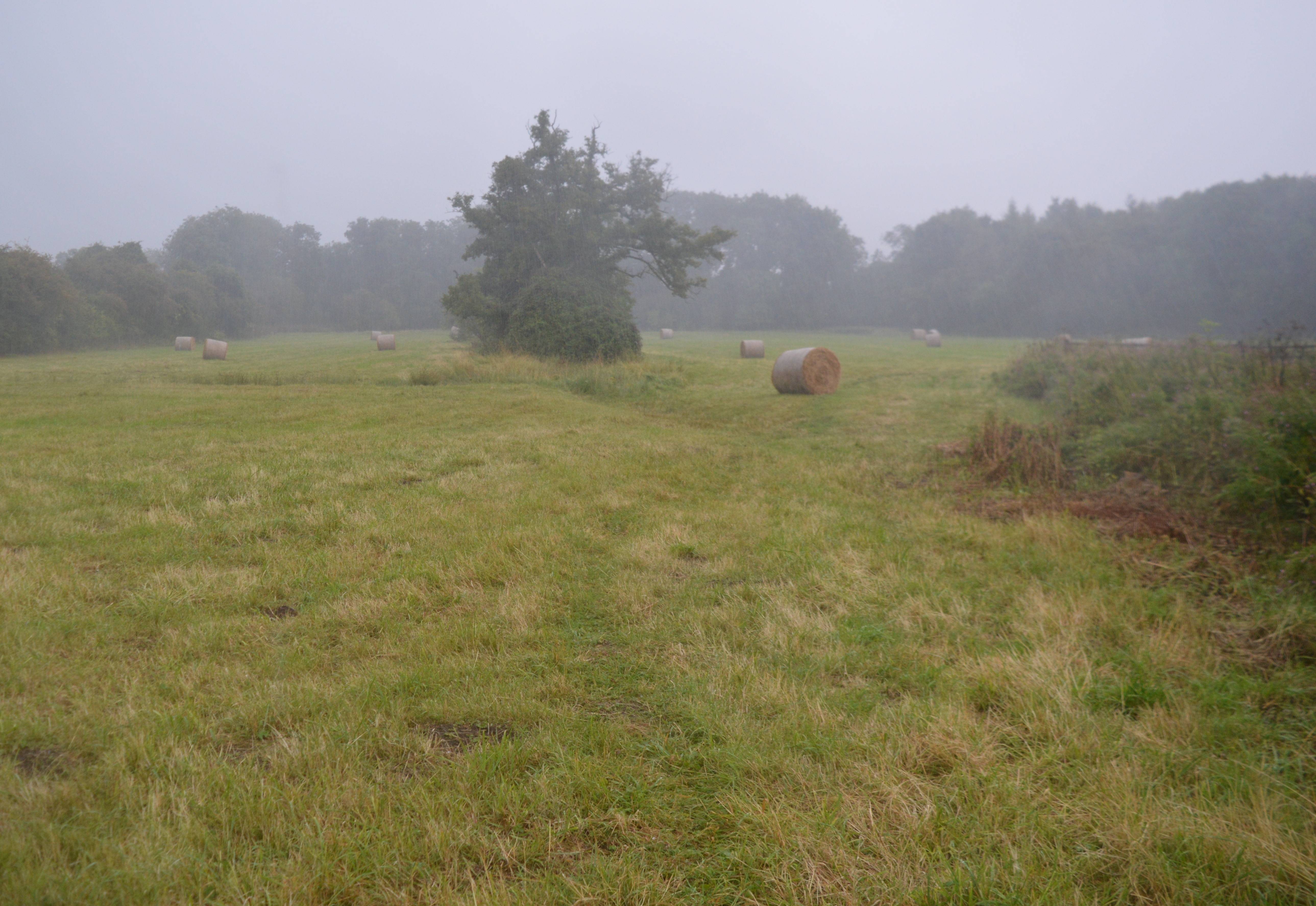
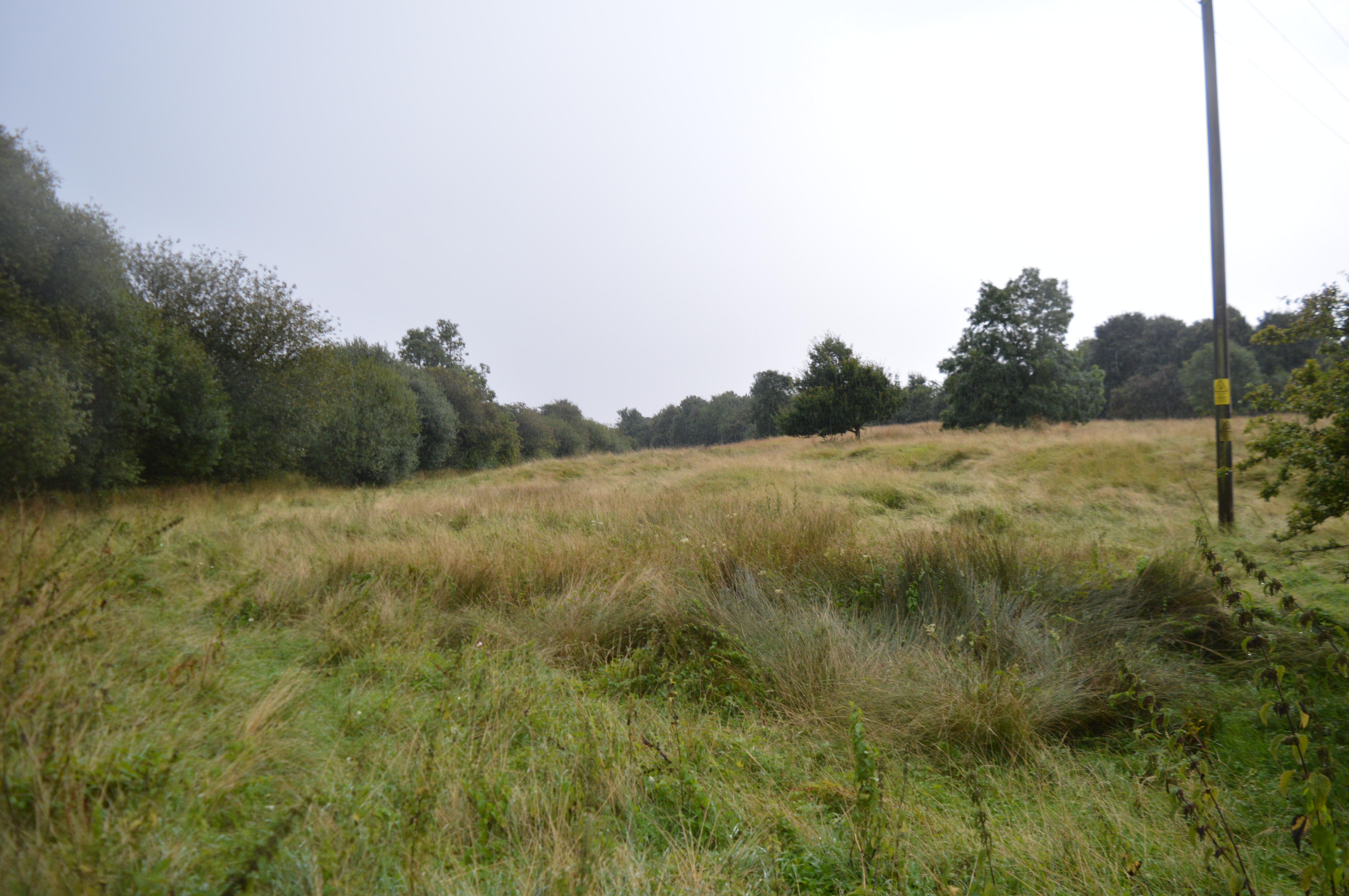
Merryshaws Spinney is a picturesque wood located in Northamptonshire, England. Situated just outside the village of Merryshaws, the spinney covers an area of approximately 20 acres and is a popular destination for nature enthusiasts and walkers.
The wood is characterized by its diverse range of tree species, including oak, ash, beech, and birch. These trees create a dense canopy, providing a haven for wildlife. The forest floor is adorned with a variety of wildflowers, adding bursts of color to the landscape.
Merryshaws Spinney is a haven for birdwatchers, with a wide array of bird species making their home in the wood. Visitors can often spot owls, woodpeckers, and various songbirds flitting among the branches. The tranquil atmosphere of the wood also attracts a variety of small mammals, such as squirrels, rabbits, and foxes.
A network of well-maintained footpaths winds through the spinney, allowing visitors to explore its beauty at their own pace. There are also several benches strategically placed throughout the wood, providing opportunities for visitors to pause and admire the surroundings.
The wood is managed by the local council, who ensure its preservation and offer educational programs for schools and community groups. In recent years, efforts have been made to enhance the biodiversity of the spinney, including the planting of native wildflowers and the creation of bird boxes.
Merryshaws Spinney offers a peaceful retreat from the hustle and bustle of everyday life, providing a sanctuary for both wildlife and visitors alike.
If you have any feedback on the listing, please let us know in the comments section below.
Merryshaws Spinney Images
Images are sourced within 2km of 52.61237/-0.39018357 or Grid Reference TF0902. Thanks to Geograph Open Source API. All images are credited.


Merryshaws Spinney is located at Grid Ref: TF0902 (Lat: 52.61237, Lng: -0.39018357)
Division: Soke of Peterborough
Unitary Authority: Peterborough
Police Authority: Cambridgeshire
What 3 Words
///elevator.portable.clarifies. Near Southorpe, Cambridgeshire
Nearby Locations
Related Wikis
Southorpe Meadow
Southorpe Meadow is a 2 hectares (4.9 acres) biological Site of Special Scientific Interest in Southorpe in Cambridgeshire. It is managed by the Wildlife...
Southorpe Paddock
Southorpe Paddock is a 1.6-hectare (4.0-acre) Site of Special Scientific Interest south of Southorpe in Cambridgeshire. It is managed by the Wildlife Trust...
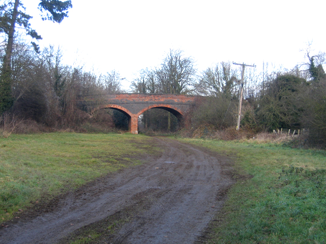
Ufford Bridge railway station
Ufford Bridge railway station was a station serving the villages of Ufford and Southorpe in the Soke of Peterborough (now part of Cambridgeshire). The...

Ufford, Cambridgeshire
Ufford is a village and civil parish, now in the Peterborough unitary authority of the ceremonial county of Cambridgeshire, England. It was historically...
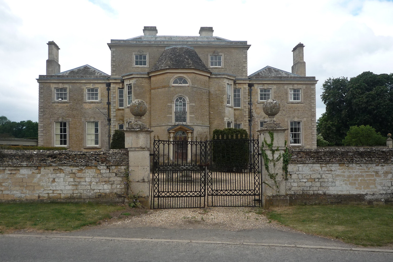
Ufford Hall, Cambridgeshire
Ufford Hall is a Georgian country house in the village of Ufford, now in the Peterborough unitary authority area of the ceremonial county of Cambridgeshire...

Southorpe
Southorpe is a settlement and civil parish in the Peterborough district, in the ceremonial county of Cambridgeshire, England. For electoral purposes it...
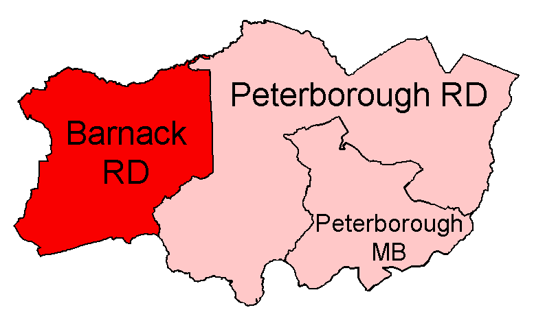
Barnack Rural District
Barnack was a rural district in the Soke of Peterborough and later Huntingdon and Peterborough from 1894 to 1974. It was created in 1894 under the Local...

Walcot Hall
Walcot Hall is a Grade I listed Carolean country house in the hamlet of Southorpe. It lies 2 km (1 mile) south of the village of Barnack, Cambridgeshire...
Have you been to Merryshaws Spinney?
Leave your review of Merryshaws Spinney below (or comments, questions and feedback).