Little Plantation

Wood, Forest in Lincolnshire North Kesteven

England

Little Plantation

Helpringham Road, Scredington Looking towards Millfield Farm.
Helpringham Road, Scredington Credit: Jonathan Thacker

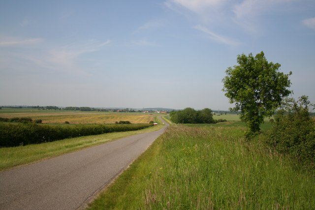
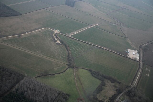
Little Plantation is a charming woodland area located in Lincolnshire, England. Covering approximately 20 acres, this small forest is a haven for nature enthusiasts and those seeking a peaceful retreat away from the hustle and bustle of city life.

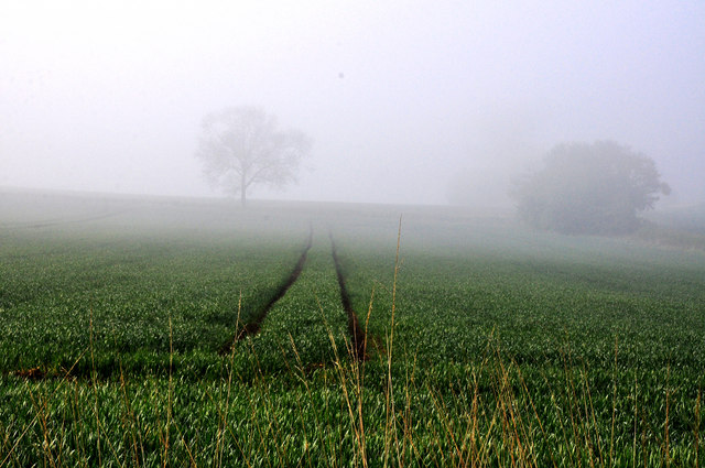
The woodland is predominantly made up of native deciduous trees such as oak, beech, and birch. These trees provide a lush and dense canopy, creating a serene atmosphere and offering a welcome respite from the sun on hot summer days. The forest floor is covered with a variety of wildflowers, ferns, and mosses, adding to the beauty and diversity of the area.

Little Plantation is home to a variety of wildlife, making it a great spot for birdwatching and animal spotting. Visitors may have the chance to see woodland birds such as the great spotted woodpecker, tawny owl, and various species of finches. The forest also provides habitat for small mammals like squirrels, rabbits, and even the occasional deer.

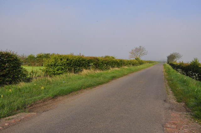
For those interested in outdoor activities, Little Plantation offers several walking trails that wind through the woods, allowing visitors to explore the area at their own pace. The trails vary in length and difficulty, catering to both casual strollers and more experienced hikers. Along the way, there are benches and picnic areas where visitors can rest and enjoy a packed lunch amidst the tranquil surroundings.

Little Plantation is a hidden gem in Lincolnshire, providing a peaceful escape into nature for locals and tourists alike. Whether you are seeking a quiet stroll, birdwatching opportunities, or simply a place to relax and unwind, this woodland sanctuary offers something for everyone.

If you have any feedback on the listing, please let us know in the comments section below.

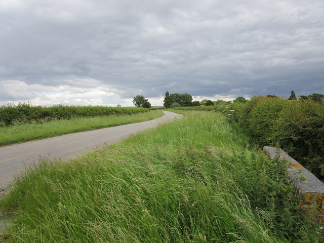
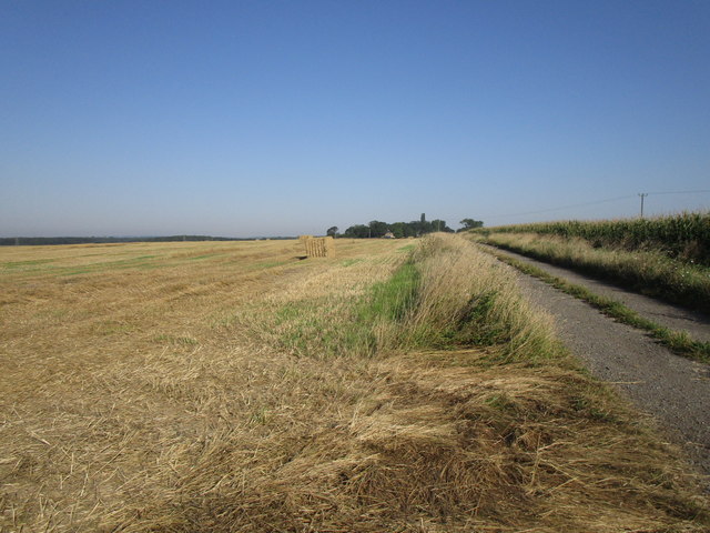
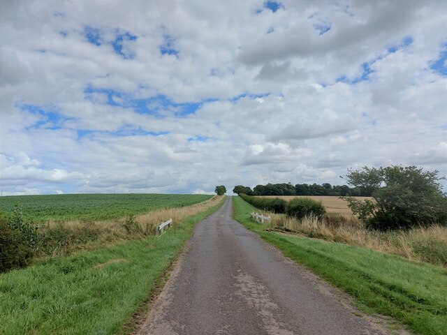
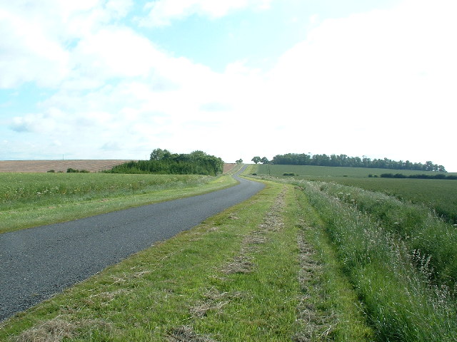
Little Plantation Images

Images are sourced within 2km of 52.962928/-0.37975251 or Grid Reference TF0841. Thanks to Geograph Open Source API. All images are credited.

Helpringham Road, Scredington Looking towards Millfield Farm.
Helpringham Road, Scredington
Looking towards Millfield Farm.
Footpath to Whitecross Lane A wide uncultivated verge accommodates both the footpath and a wildlife refuge.
Footpath to Whitecross Lane
A wide uncultivated verge accommodates both the footpath and a wildlife refuge.
Bridleway to Hill Top Farm and Whitecross Lane
Scredington Road Towards Scredington.
Scredington Road
Towards Scredington.
Scredington Road approaching Burton Cliff The slight rise ahead is called 'Burton Cliff'. It has a height of 15 metres above sea level - which perhaps constitutes a cliff in this part of Lincolnshire.
Scredington Road approaching Burton Cliff
The slight rise ahead is called 'Burton Cliff'. It has a height of 15 metres above sea level - which perhaps constitutes a cliff in this part of Lincolnshire.
Bridleway along Burton Cliff Heading towards Hill Top Farm - at a giddy height of 15 metres above sea level.
Bridleway along Burton Cliff
Heading towards Hill Top Farm - at a giddy height of 15 metres above sea level.
Bridleway descending from Burton Cliff Passing a field of maize en route to the junction with Whitecross Lane
Bridleway descending from Burton Cliff
Passing a field of maize en route to the junction with Whitecross Lane
Northbeck to Burton Pedwardine Road
Northbeck & Scredington from Burton Cliff Looking down Scredington Road from Burton Cliff towards Northbeck
Northbeck & Scredington from Burton Cliff
Looking down Scredington Road from Burton Cliff towards Northbeck
Hill Top Farm A steeply climbing Bridleway approaches this farm in a southerly direction from Whitecross Lane
Hill Top Farm
A steeply climbing Bridleway approaches this farm in a southerly direction from Whitecross Lane
To Northbeck View from Burton Cliff to Northbeck with the road crossing Cliff Beck by the white railings. The width of the verges suggests a former drove road
To Northbeck
View from Burton Cliff to Northbeck with the road crossing Cliff Beck by the white railings. The width of the verges suggests a former drove road
Cliff Farm Cottage - Willoughby Gorse
Tracks in the mist - Willoughby Gorse
Corner of waste ground - Willoughby Gorse A few shrubs stand beside at a bend in the lane with a little patch of waste ground behind them. A nearby ditch is planted with a hedgerow along its edge.
Corner of waste ground - Willoughby Gorse
A few shrubs stand beside at a bend in the lane with a little patch of waste ground behind them. A nearby ditch is planted with a hedgerow along its edge.
Ditch with hedge - Willoughby Gorse
Lane to Burton Pedwardine
Hall Close moated site, Scredington: aerial 2022 Moated enclosure now in pasture, the moat mainly drained. Originally the principal moat in a village with five. The others have been excavated and/or destroyed. Surrounding the moat in the remainder of Hall Close are the platforms and enclosures of the original village settlement.

There were several important families in the village during the Middle Ages. The most prominent, the Pylets, occupied Hall Close from the late 12th to the mid 15th century.

The earthworks include the remains of fish ponds and a boundary ditch which would have enclosed the whole manorial complex. 

See: <span class="nowrap"><a title="https://www.heritagegateway.org.uk/Gateway/Results_Single.aspx?uid=MLI60728&resourceID=1006" rel="nofollow ugc noopener" href="https://www.heritagegateway.org.uk/Gateway/Results_Single.aspx?uid=MLI60728&resourceID=1006">Link</a><img style="margin-left:2px;" alt="External link" title="External link - shift click to open in new window" src="https://s1.geograph.org.uk/img/external.png" width="10" height="10"/></span>
Hall Close moated site, Scredington: aerial 2022
Moated enclosure now in pasture, the moat mainly drained. Originally the principal moat in a village with five. The others have been excavated and/or destroyed. Surrounding the moat in the remainder of Hall Close are the platforms and enclosures of the original village settlement. There were several important families in the village during the Middle Ages. The most prominent, the Pylets, occupied Hall Close from the late 12th to the mid 15th century. The earthworks include the remains of fish ponds and a boundary ditch which would have enclosed the whole manorial complex. See: LinkExternal link
Wind turbine bases (?) SE of Silk Willoughby: aerial 2022
Show me another place!

Little Plantation is located at Grid Ref: TF0841 (Lat: 52.962928, Lng: -0.37975251)

Administrative County: Lincolnshire

District: North Kesteven

Police Authority: Lincolnshire

What 3 Words

///spots.song.tall. Near Sleaford, Lincolnshire

Nearby Locations

Little Plantation

Related Wikis

Aswarby and Scredington railway station

Aswarby and Scredington railway station was a station close to Scredington, Lincolnshire on the Great Northern Railway Bourne and Sleaford railway. It...

Scredington

Scredington is a village and civil parish in the North Kesteven district of Lincolnshire, England. The population of the civil parish at the 2011 census...

Burton Pedwardine

Burton Pedwardine is a hamlet and civil parish in the district of North Kesteven, Lincolnshire, England. The population at the 2011 census was 187. The...

Aswarby

Aswarby () is a village in the North Kesteven district of Lincolnshire, England. It is 3.5 miles (5.6 km) south of Sleaford and 750 yards (690 m) east...

Aswarby and Swarby

Aswarby and Swarby is a civil parish in the North Kesteven district of Lincolnshire, England. Aswarby (pronounced locally as "as-r-bee") is the ecclesiastical...

Silk Willoughby

Silk Willoughby is a village and civil parish in the North Kesteven district of Lincolnshire, England. The population of the civil parish at the 2011 census...

Bass Maltings, Sleaford

The Bass Maltings in Sleaford, England are a large group of eight disused malt houses originally owned by the Bass Brewery of Burton upon Trent. Constructed...

Spanby

Spanby is a village and former civil parish in the North Kesteven district of Lincolnshire, England, about 5 miles (8 km) south from the town of Sleaford...

Have you been to Little Plantation?

Leave your review of Little Plantation below (or comments, questions and feedback).