Bushy Close Spinney
Wood, Forest in Bedfordshire
England
Bushy Close Spinney

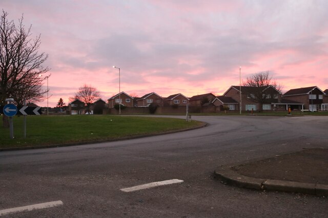
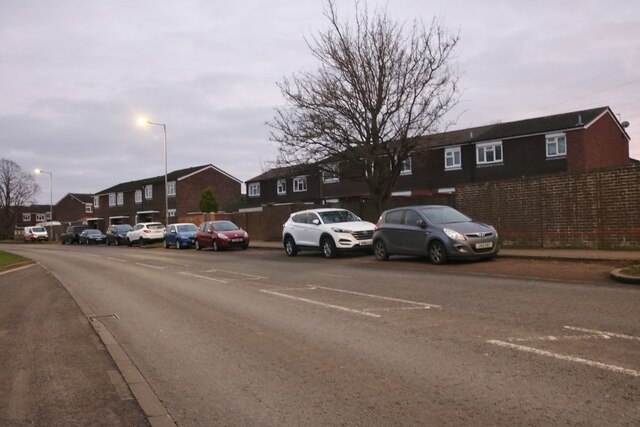
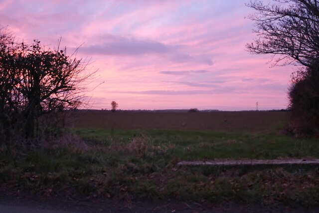
Bushy Close Spinney is a small woodland located in Bedfordshire, England. Situated near the village of Bushmead, the spinney covers an area of approximately 10 acres and is a popular destination for nature enthusiasts and local residents alike.
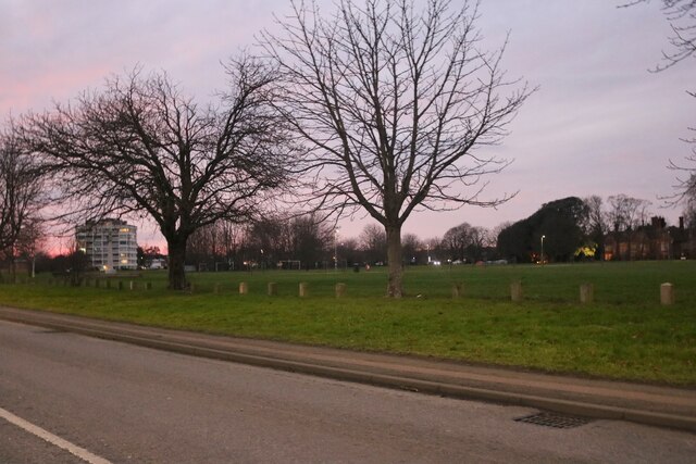
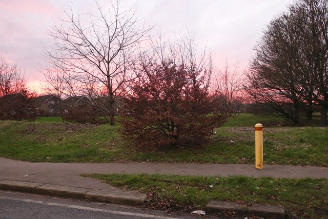
The woodland is primarily composed of various species of deciduous trees, including oak, birch, and beech, which create a dense and vibrant canopy during the summer months. The forest floor is covered in a rich carpet of moss, ferns, and wildflowers, providing a habitat for a diverse array of flora and fauna.
Bushy Close Spinney is known for its tranquil and peaceful atmosphere, offering visitors a chance to escape the hustle and bustle of urban life. The winding paths that meander through the spinney are well-maintained, allowing for easy exploration and leisurely walks. Benches and picnic areas are scattered throughout the woodland, providing ideal spots for visitors to relax and enjoy the natural surroundings.
The spinney is home to various species of wildlife, including squirrels, rabbits, and a variety of bird species. Nature lovers can often spot woodpeckers, jays, and thrushes, as well as a host of smaller birds that inhabit the trees and undergrowth.
Overall, Bushy Close Spinney is a picturesque and diverse woodland that offers a peaceful retreat for those seeking a connection with nature. Its accessibility and varied wildlife make it an ideal location for outdoor activities such as birdwatching, photography, and leisurely strolls.
If you have any feedback on the listing, please let us know in the comments section below.
Bushy Close Spinney Images
Images are sourced within 2km of 52.156791/-0.41036937 or Grid Reference TL0852. Thanks to Geograph Open Source API. All images are credited.


Bushy Close Spinney is located at Grid Ref: TL0852 (Lat: 52.156791, Lng: -0.41036937)
Unitary Authority: Bedford
Police Authority: Bedfordshire
What 3 Words
///factories.warm.vast. Near Wilden, Bedfordshire
Nearby Locations
Related Wikis

All Saints' Church, Renhold
Church of All Saints is a Grade I listed church in Renhold, Bedfordshire, England. It became a listed building on 13 July 1964. == See also == Grade I...

Renhold
Renhold is a village and civil parish located on the River Ouse, in the Borough of Bedford, Bedfordshire, England. The parish church is situated some 4...

Risinghoe Castle
Risinghoe Castle, sometimes known as Goldington Castle, is a 20-foot mound, located in the former village of Goldington, a parish in the hundred of Barford...
Renhold Chapel
Renhold Chapel is a Baptist chapel in the village of Renhold, Bedfordshire, England. == History == Prior to the chapel being built, the chapel meetings...
Related Videos

Railways and Waterways in bedford
Hello you beautiful lot I'm walking the old Bedford to Cambridge line and I thought I'd show you this beautiful Kotch I've found.

과천 뚜바비앙 엔틱카페 다잘될꺼야 프랑스뜻
과천커피숍 #과천맛집 #남태령카페 #엔틱까페 #선바위역2번출구 선바위농협근처 #유트브광고 #쇼호스트하여사01083136981.

Cypriot Elvis
Garden of Eden holiday memory.
Nearby Amenities
Located within 500m of 52.156791,-0.41036937Have you been to Bushy Close Spinney?
Leave your review of Bushy Close Spinney below (or comments, questions and feedback).