Mountwood Spinney
Wood, Forest in Huntingdonshire Huntingdonshire
England
Mountwood Spinney
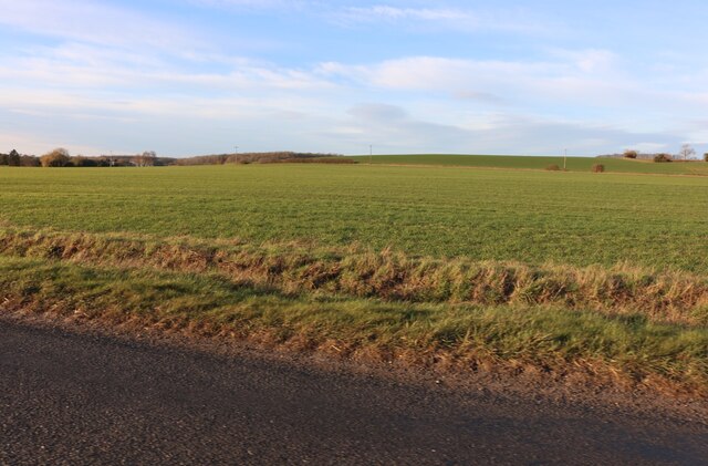
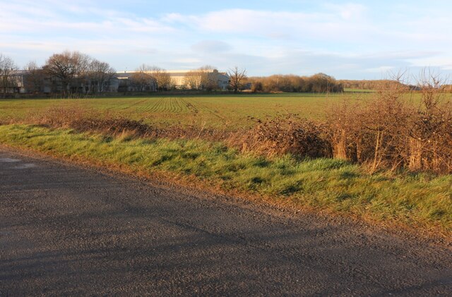
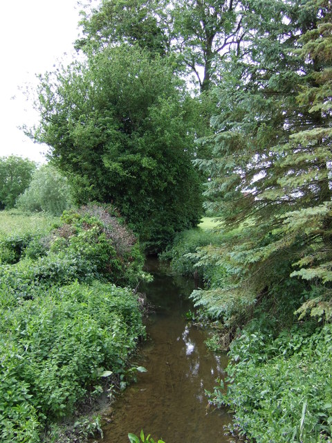
Mountwood Spinney is a picturesque woodland area located in Huntingdonshire, a historic county in England. Spread across an area of approximately 50 acres, this beautiful forest is known for its scenic landscapes and rich biodiversity. It is situated near the village of Mountwood and is easily accessible to nature enthusiasts and visitors.
The woodland is predominantly composed of native trees such as oak, beech, and birch, which provide a dense canopy cover and create a peaceful atmosphere. The forest floor is adorned with a variety of wildflowers, adding bursts of color to the surroundings during the spring and summer seasons.
Mountwood Spinney offers a haven for wildlife, attracting a diverse range of species. The forest is home to numerous birds, including woodpeckers, robins, and thrushes, which can be spotted throughout the year. Squirrels and rabbits are also commonly seen scurrying amongst the trees, while bats and owls make occasional appearances during the night.
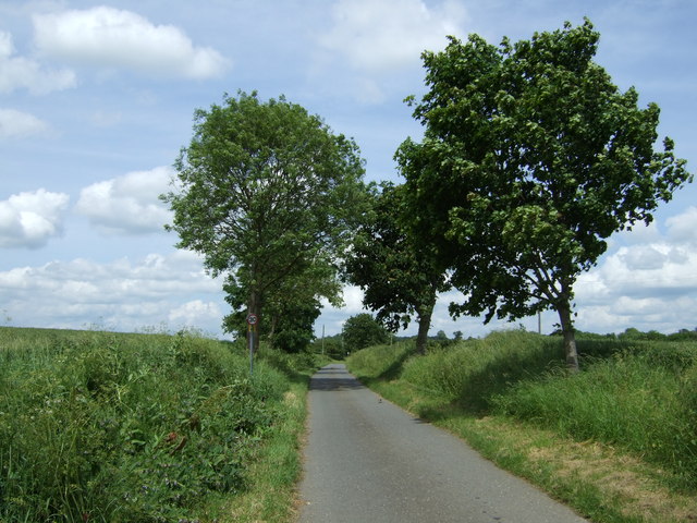
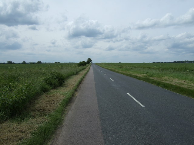
The woodland is a popular destination for outdoor activities such as hiking, walking, and nature photography. There are well-maintained footpaths that meander through the forest, allowing visitors to explore its hidden corners and discover its natural beauty. Additionally, there are picnic areas and benches where visitors can relax and enjoy the tranquility of the surroundings.
Overall, Mountwood Spinney offers a peaceful retreat for those seeking solace in nature. With its diverse flora and fauna, scenic landscapes, and recreational opportunities, it is a beloved destination for both locals and tourists alike.
If you have any feedback on the listing, please let us know in the comments section below.
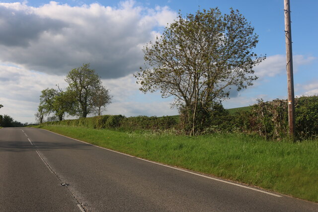
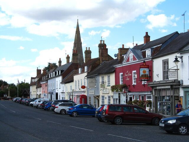
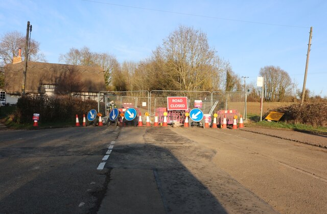
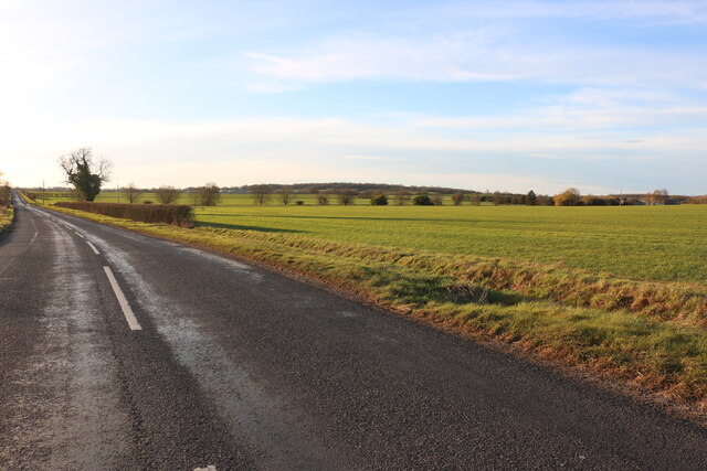
Mountwood Spinney Images
Images are sourced within 2km of 52.288796/-0.40602972 or Grid Reference TL0866. Thanks to Geograph Open Source API. All images are credited.


Mountwood Spinney is located at Grid Ref: TL0866 (Lat: 52.288796, Lng: -0.40602972)
Administrative County: Cambridgeshire
District: Huntingdonshire
Police Authority: Cambridgeshire
What 3 Words
///outdoor.glance.puzzles. Near Pertenhall, Bedfordshire
Nearby Locations
Related Wikis

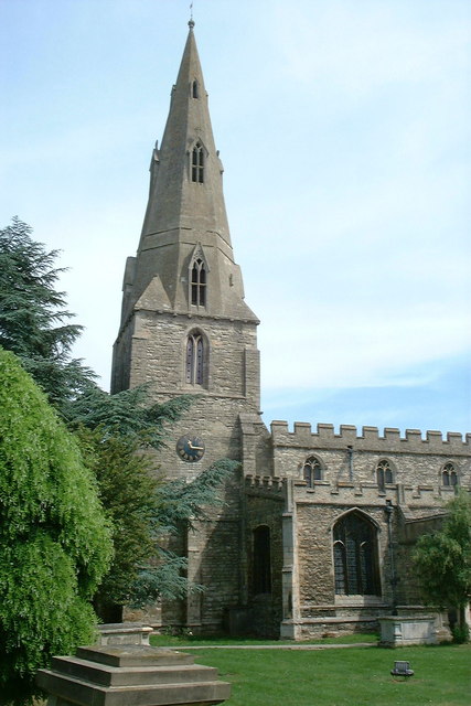
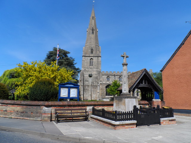
Church of St Peter, Pertenhall
Church of St Peter is a Grade I listed church in Pertenhall, Bedfordshire, England. It became a listed building on 13 July 1964. == See also == Grade...

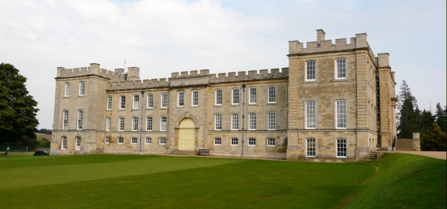
Kimbolton Castle
Kimbolton Castle is a country house in Kimbolton, Cambridgeshire, England. It was the final home of King Henry VIII's first wife, Catherine of Aragon....
Kimbolton School
Kimbolton School is a British HMC co-educational private boarding and day school in the village of Kimbolton, Cambridgeshire, England. There are 1000...

Stonely
Stonely is a hamlet next to Kimbolton in Cambridgeshire, England. It is part of the parish of Kimbolton and Stonely. The hamlet was formerly the site...
Nearby Amenities
Located within 500m of 52.288796,-0.40602972Have you been to Mountwood Spinney?
Leave your review of Mountwood Spinney below (or comments, questions and feedback).