Blackquarter Spinney
Wood, Forest in Huntingdonshire Huntingdonshire
England
Blackquarter Spinney
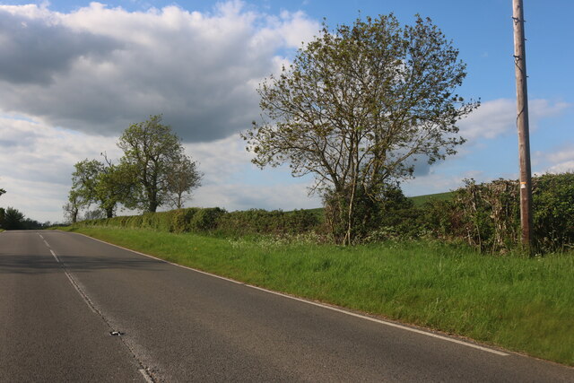
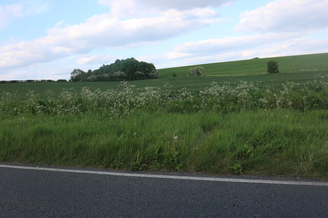
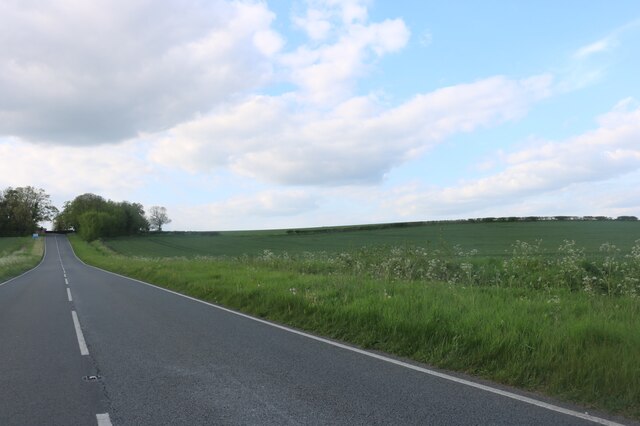
Blackquarter Spinney is a small woodland located in the district of Huntingdonshire, England. Situated near the village of Blackquarter, the spinney covers an area of approximately 10 acres. It is nestled within the picturesque countryside, surrounded by open fields and farmland.
The spinney consists mainly of native deciduous trees, including oak, beech, and ash. These trees provide a diverse habitat for a wide range of wildlife, such as birds, mammals, and insects. The woodland floor is adorned with a variety of wildflowers and ferns, adding to its natural beauty.
Access to Blackquarter Spinney is limited, as it is privately owned. However, there are public footpaths that run adjacent to the woodland, allowing visitors to catch glimpses of its serene atmosphere and captivating flora and fauna.
The woodland is popular among nature enthusiasts and birdwatchers, who flock to the area to observe the diverse avian species that inhabit the spinney. Common sightings include woodpeckers, owls, and various songbirds.
Blackquarter Spinney also has historical significance, with remnants of ancient earthworks and boundary banks still visible within its boundaries. These features serve as a reminder of the area's rich cultural heritage.
Overall, Blackquarter Spinney is a hidden gem in Huntingdonshire, offering a tranquil escape from the hustle and bustle of everyday life. Its natural beauty and ecological importance make it a cherished habitat for both wildlife and humans alike.
If you have any feedback on the listing, please let us know in the comments section below.
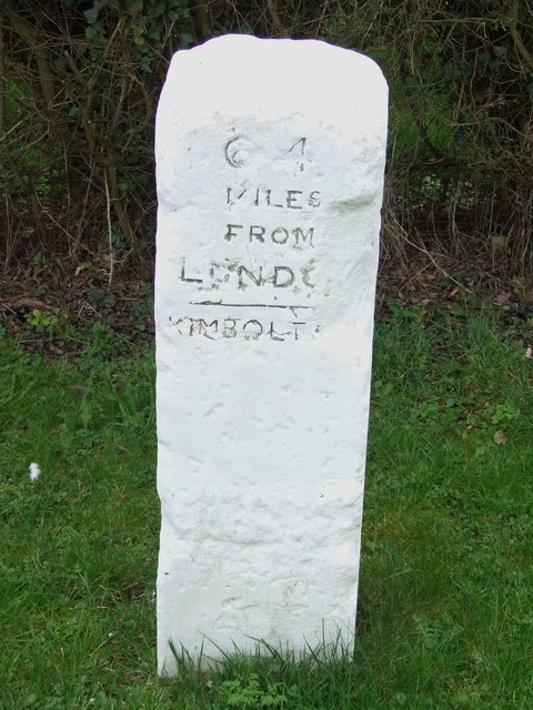
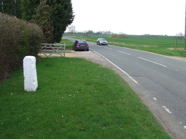
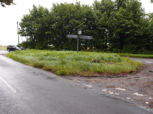
Blackquarter Spinney Images
Images are sourced within 2km of 52.300118/-0.40757373 or Grid Reference TL0868. Thanks to Geograph Open Source API. All images are credited.
Blackquarter Spinney is located at Grid Ref: TL0868 (Lat: 52.300118, Lng: -0.40757373)
Administrative County: Cambridgeshire
District: Huntingdonshire
Police Authority: Cambridgeshire
What 3 Words
///repelled.takers.jammy. Near Kimbolton, Cambridgeshire
Nearby Locations
Related Wikis

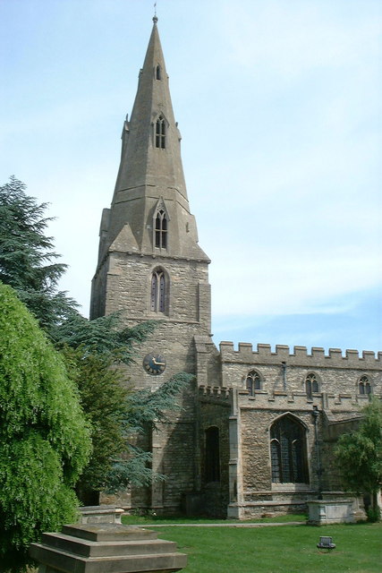
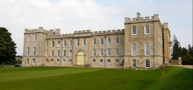
Kimbolton Castle
Kimbolton Castle is a country house in Kimbolton, Cambridgeshire, England. It was the final home of King Henry VIII's first wife, Catherine of Aragon....
Kimbolton School
Kimbolton School is a British HMC co-educational private boarding and day school in the village of Kimbolton, Cambridgeshire, England. There are 1000...

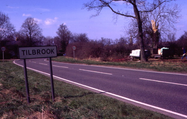
Tilbrook
Tilbrook is a village and civil parish in Cambridgeshire, England. Tilbrook lies approximately 10 miles (16 km) west of Huntingdon, near Covington. Tilbrook...

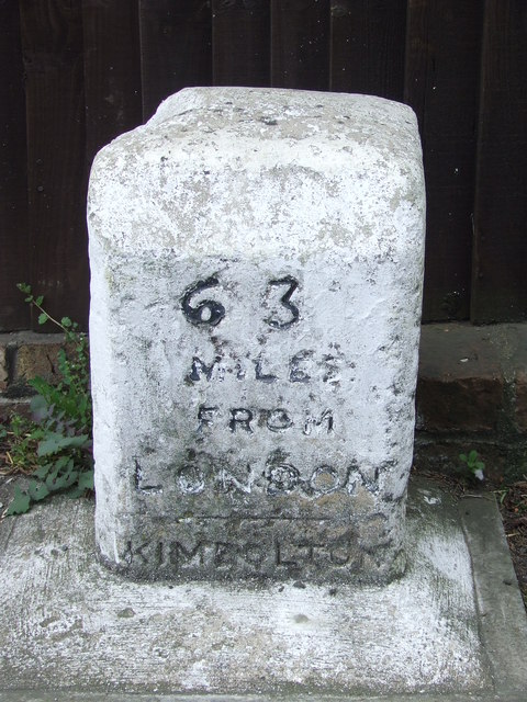
Kimbolton, Cambridgeshire
Kimbolton is a town and civil parish in the Huntingdonshire district of Cambridgeshire, England. Kimbolton is about 9 miles (14 km) west of Huntingdon...
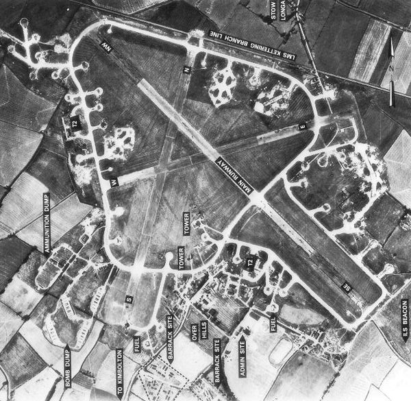
RAF Kimbolton
Royal Air Force Kimbolton or more simply RAF Kimbolton is a former Royal Air Force station located 8 miles (13 km) west of Huntingdon, Cambridgeshire,...

Stonely
Stonely is a hamlet next to Kimbolton in Cambridgeshire, England. It is part of the parish of Kimbolton and Stonely. The hamlet was formerly the site...

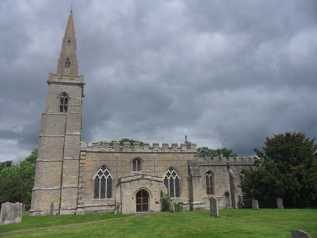
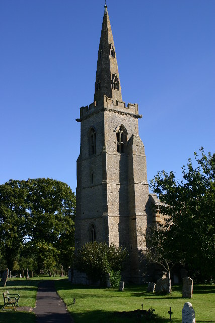
Church of St Peter, Pertenhall
Church of St Peter is a Grade I listed church in Pertenhall, Bedfordshire, England. It became a listed building on 13 July 1964. == See also == Grade...

Stonely Priory
Stonely Priory was an Augustinian priory in Cambridgeshire, England. It was dissolved in 1536. == History == A tradition recorded by Leland hold that the...
Nearby Amenities
Located within 500m of 52.300118,-0.40757373Have you been to Blackquarter Spinney?
Leave your review of Blackquarter Spinney below (or comments, questions and feedback).