Bolnhurst Spinney
Wood, Forest in Bedfordshire
England
Bolnhurst Spinney

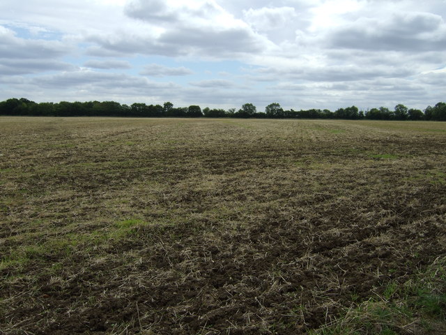
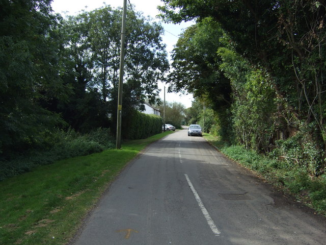
Bolnhurst Spinney is a picturesque woodland located in the county of Bedfordshire, England. The spinney covers an area of approximately 15 hectares and is situated near the village of Bolnhurst, about 8 kilometers north of the town of Bedford.
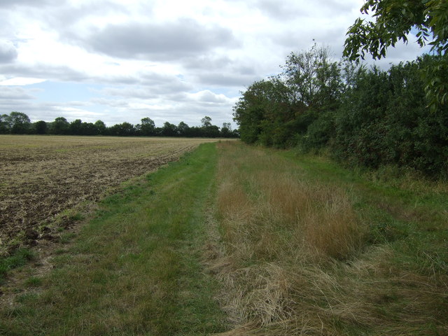
This woodland is primarily composed of a variety of native tree species, including oak, ash, beech, and birch, which create a dense and diverse canopy. The forest floor is covered with an array of wildflowers, ferns, and mosses, contributing to the spinney's enchanting and vibrant atmosphere.
The wood is crisscrossed by a network of well-maintained footpaths, allowing visitors to explore its natural beauty and observe the local wildlife. It is home to numerous bird species, such as woodpeckers, owls, and songbirds, making it a popular destination for birdwatching enthusiasts.
Bolnhurst Spinney also hosts a variety of other wildlife, including deer, rabbits, and squirrels, which can often be spotted during walks through the woodland. The peaceful setting and abundance of flora and fauna make it an ideal location for nature lovers and those seeking a tranquil escape from the nearby urban areas.
The spinney is managed by a local conservation trust, which ensures the preservation of its natural habitat and the maintenance of its paths and facilities. Visitors are encouraged to respect the wildlife and flora, and to follow the designated paths to minimize any impact on the delicate ecosystem.
Overall, Bolnhurst Spinney offers a serene and immersive experience in the heart of Bedfordshire's countryside, providing visitors with a chance to connect with nature and enjoy the beauty of this enchanting woodland.
If you have any feedback on the listing, please let us know in the comments section below.
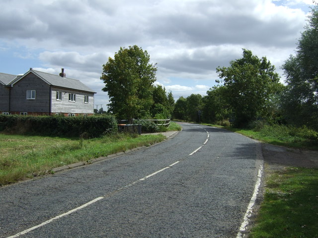
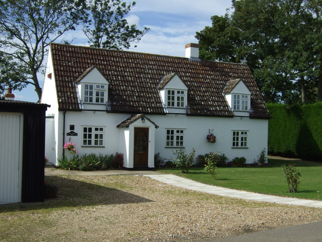
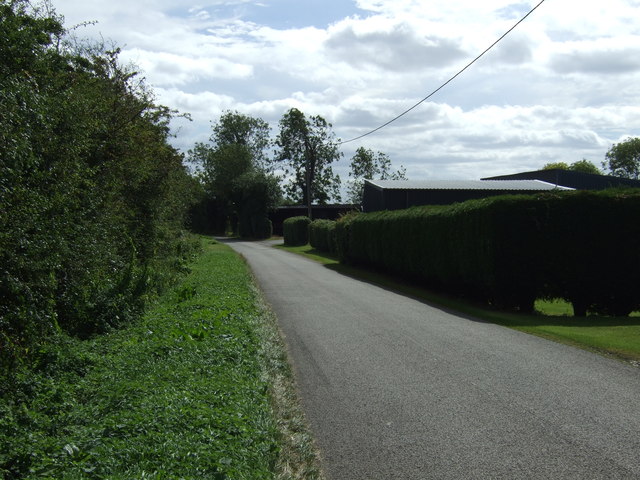
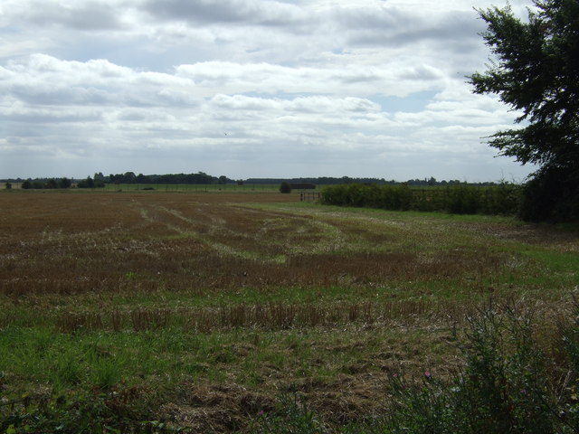
Bolnhurst Spinney Images
Images are sourced within 2km of 52.232332/-0.41079132 or Grid Reference TL0860. Thanks to Geograph Open Source API. All images are credited.


Bolnhurst Spinney is located at Grid Ref: TL0860 (Lat: 52.232332, Lng: -0.41079132)
Unitary Authority: Bedford
Police Authority: Bedfordshire
What 3 Words
///legend.warthog.sped. Near Colmworth, Bedfordshire
Nearby Locations
Related Wikis

Bolnhurst and Keysoe
Bolnhurst and Keysoe is a civil parish in the Borough of Bedford in Bedfordshire, England. According to the 2001 census it had a population of 734, reducing...

Keysoe Row
Keysoe Row is a hamlet located in the Borough of Bedford in Bedfordshire, England. The settlement is located to the south of the village of Keysoe, and...
Bolnhurst
Bolnhurst is a small village and former civil parish, now in the parish of Bolnhurst and Keysoe, in the Borough of Bedford, Bedfordshire, England. The...

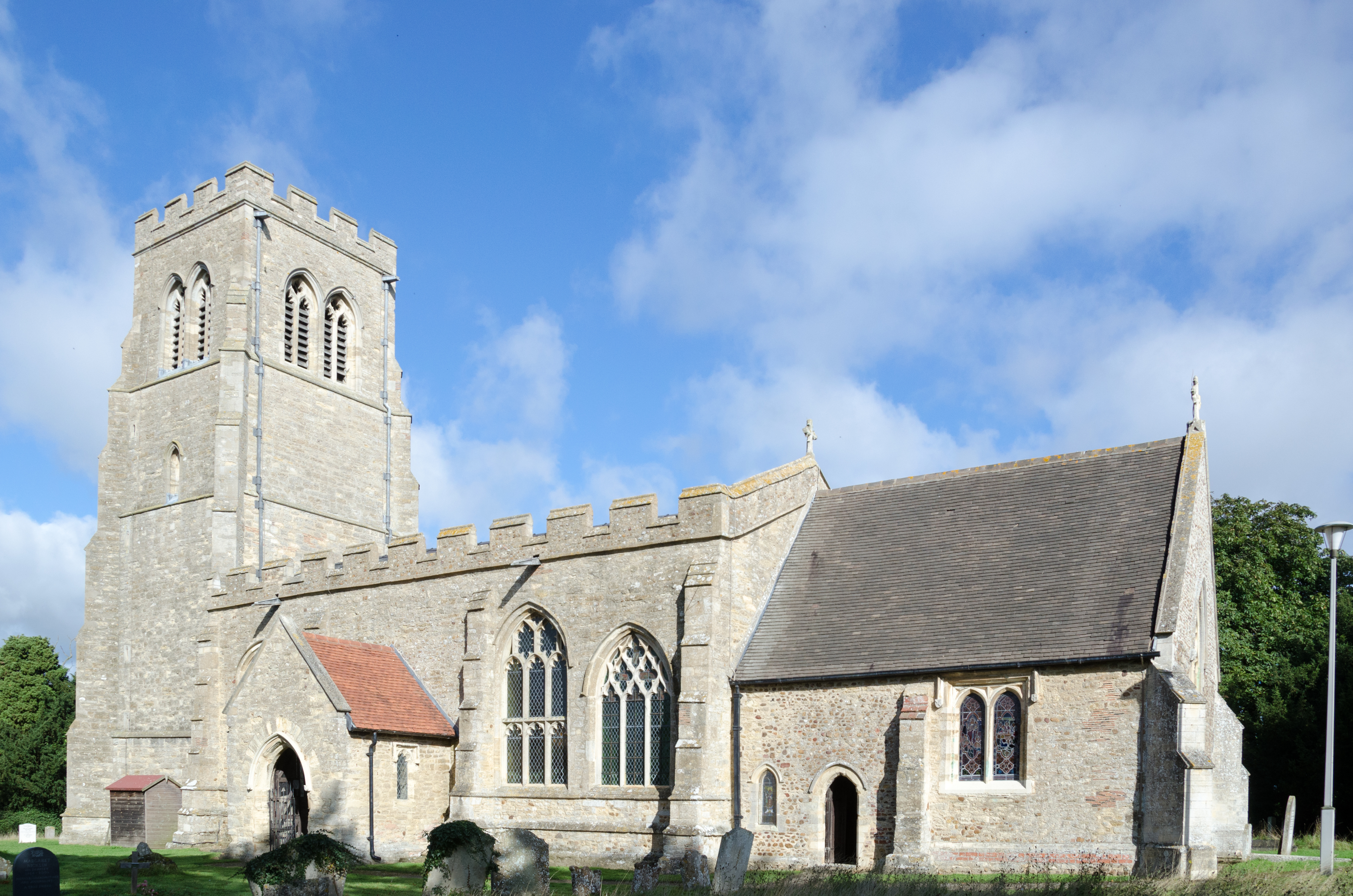
Church of St Mary the Virgin, Keysoe
Church of St Mary the Virgin is a Grade I listed church in Keysoe, Bedfordshire, England. It became a listed building on 13 July 1964. Features of interest...

Keysoe
Keysoe is a village and former civil parish, now in the parish of Bolnhurst and Keysoe, in the Bedford district, in the ceremonial county of Bedfordshire...

Bedford Aerodrome
Bedford Aerodrome (ICAO: EGBF) is located 5 nautical miles (9.3 km; 5.8 mi) north of Bedford, in Bedfordshire, England. The aerodrome which is privately...

Little Staughton
Little Staughton is a small village and civil parish located in the north of Bedfordshire. The parish church, All Saints, is set apart from the present...

Colmworth
Colmworth is a village and civil parish in the Borough of Bedford in the county of Bedfordshire, England about 6.5 miles (10 km) north-east of Bedford...
Nearby Amenities
Located within 500m of 52.232332,-0.41079132Have you been to Bolnhurst Spinney?
Leave your review of Bolnhurst Spinney below (or comments, questions and feedback).