Chatley Wood
Wood, Forest in Surrey Elmbridge
England
Chatley Wood
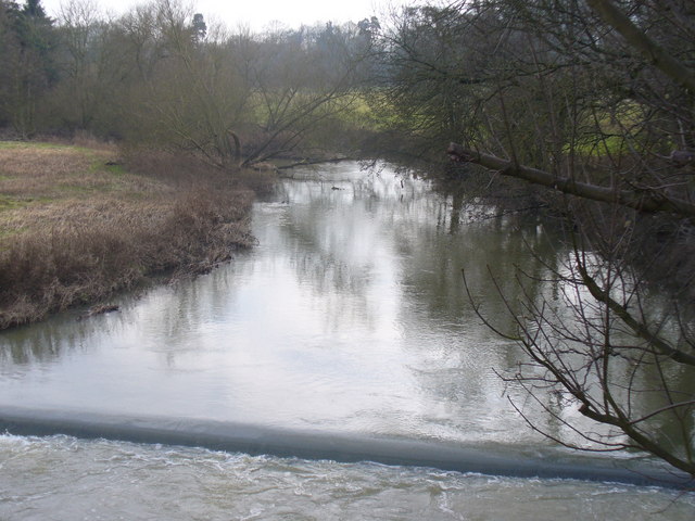
Chatley Wood is a picturesque woodland located in the county of Surrey, England. Covering an area of approximately 240 acres, it is a popular destination for nature enthusiasts and offers a tranquil and serene environment.
The woodland is predominantly composed of native broadleaf trees, including oak, beech, and birch, which create a dense canopy overhead, providing shade and shelter for a diverse range of flora and fauna. The forest floor is adorned with carpets of bluebells during the springtime, creating a stunning display of color and fragrance.
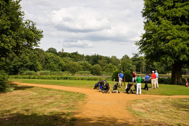
A network of well-maintained footpaths meanders through the wood, allowing visitors to explore its beauty at their own pace. The paths lead to several clearings and glades, providing peaceful spots for picnics or simply to rest and enjoy the peaceful surroundings. There are also designated areas for birdwatching, as Chatley Wood is home to a variety of bird species, including woodpeckers, tits, and finches.
The wood is also known for its abundance of wildlife. Squirrels can often be spotted darting through the trees, while deer roam freely in the quieter areas. It is not uncommon to come across rabbits, foxes, and even badgers during a stroll through the woodland.
Chatley Wood is well-maintained by the local authorities, with regular conservation efforts to protect and preserve its natural beauty. It is easily accessible by car or public transport, with nearby parking facilities available for visitors. Whether it is for a leisurely walk, birdwatching, or simply to reconnect with nature, Chatley Wood offers a serene and enchanting experience for all who visit.
If you have any feedback on the listing, please let us know in the comments section below.
Chatley Wood Images
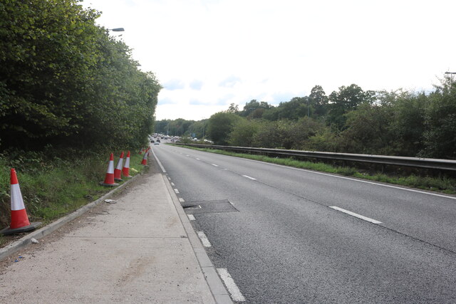
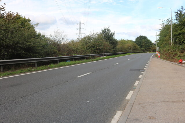
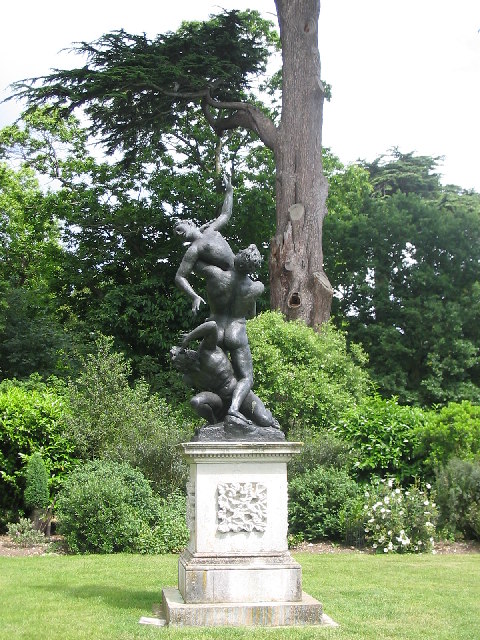
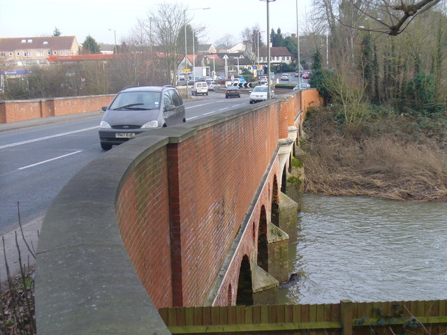
Images are sourced within 2km of 51.32299/-0.44379811 or Grid Reference TQ0859. Thanks to Geograph Open Source API. All images are credited.


![Cobham Bus Museum The museum was actually nearer Byfleet than Cobham and housed a range of old London Transport buses in a recreated bus garage environment.
[The museum has since been rehoused nearby at Brookwood].](https://s0.geograph.org.uk/photos/10/50/105036_660c7d07.jpg)


Chatley Wood is located at Grid Ref: TQ0859 (Lat: 51.32299, Lng: -0.44379811)
Administrative County: Surrey
District: Elmbridge
Police Authority: Surrey
What 3 Words
///civic.joined.canny. Near Cobham, Surrey
Nearby Locations
Related Wikis
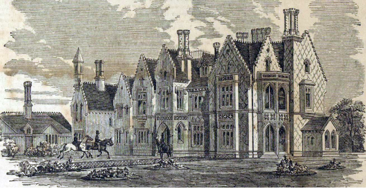
Foxwarren Park
Foxwarren Park, at Wisley in Surrey, is a Victorian country house and estate. On sandstone Ockham and Wisley Commons, it was designed in 1860 by the railway...

Chatley Heath
Chatley Heath is part of 336 hectare reserve including Wisley Common, Ockham and parts of Hatchford. It is an area with a mixed habitats including heathland...
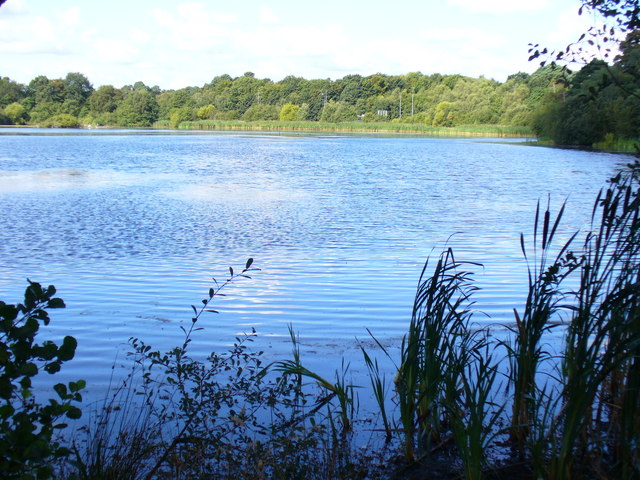
Ockham and Wisley Commons
Ockham and Wisley Commons is a 266-hectare (660-acre) biological Site of Special Scientific Interest east of Woking in Surrey. It is also a Local Nature...
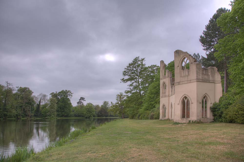
Painshill
Painshill (also referred to as "Pains Hill" in some 19th-century texts), near Cobham, Surrey, England, is one of the finest remaining examples of an 18th...
Nearby Amenities
Located within 500m of 51.32299,-0.44379811Have you been to Chatley Wood?
Leave your review of Chatley Wood below (or comments, questions and feedback).