Grub Copse

Wood, Forest in Surrey Waverley

England

Grub Copse

Bridge over the Downs Link path near Rudgwick A view of the Downs Link path near Rudgwick in West Sussex.  The path follows a dismantled railway line.  It also forms part of route 223 of the National Cycle Network.

The bridge carries a road over the former railway line.
Bridge over the Downs Link path near Rudgwick Credit: Malc McDonald

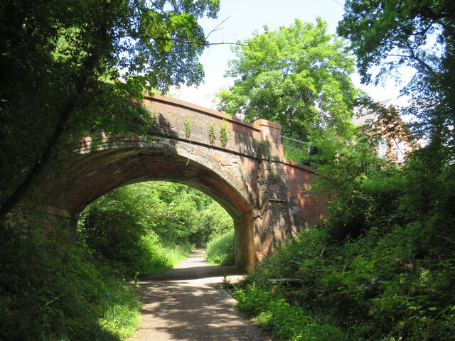
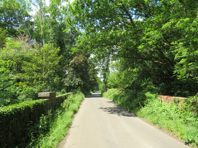
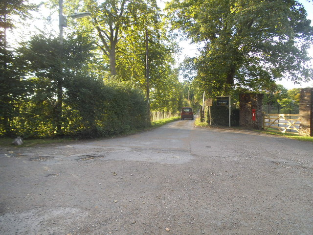
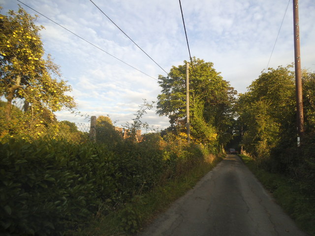
Grub Copse is a picturesque woodland located in the county of Surrey, England. Situated near the village of Guildford, it forms a part of the larger Surrey Hills Area of Outstanding Natural Beauty. Covering an area of approximately 50 hectares, Grub Copse is an enchanting forest that attracts visitors with its stunning natural beauty and diverse wildlife.

The woodland is predominantly composed of deciduous trees, including oak, beech, and birch. These majestic trees create a dense canopy, providing a sheltered and tranquil environment for both flora and fauna. The forest floor is adorned with a vibrant carpet of bluebells during the spring season, adding a burst of color to the already enchanting landscape.

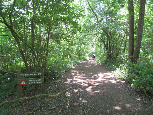
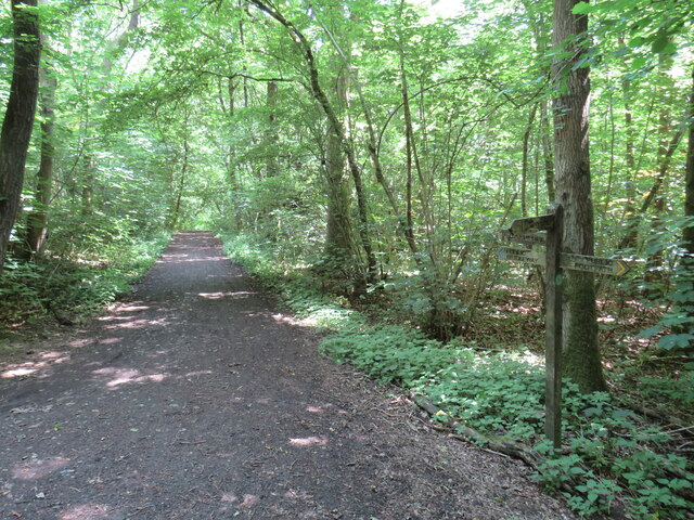
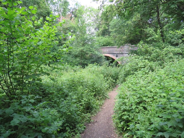
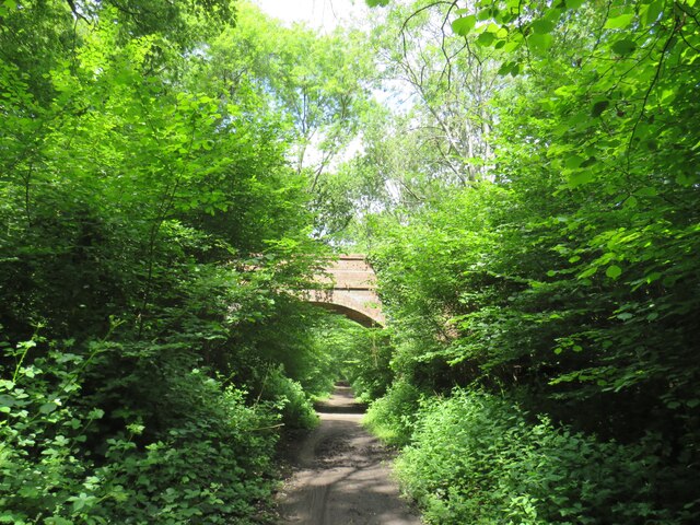
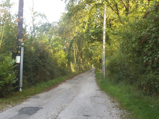
Grub Copse offers various walking trails and footpaths that wind through the forest, allowing visitors to immerse themselves in its natural splendor. The paths meander alongside babbling brooks and small ponds, creating a serene ambiance. Wildlife enthusiasts will be delighted to spot a range of animals, such as deer, foxes, badgers, and a plethora of bird species.

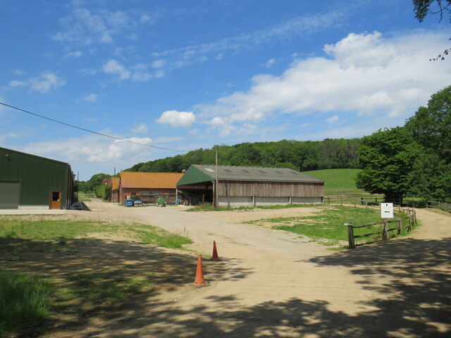
The woodland also has a rich history, with evidence of human activity dating back centuries. Remnants of ancient settlements, including Iron Age earthworks, can be found within the forest, hinting at its past significance.

Overall, Grub Copse is a haven of tranquility and natural beauty, offering visitors a chance to escape the hustle and bustle of everyday life and immerse themselves in the wonders of nature.

If you have any feedback on the listing, please let us know in the comments section below.
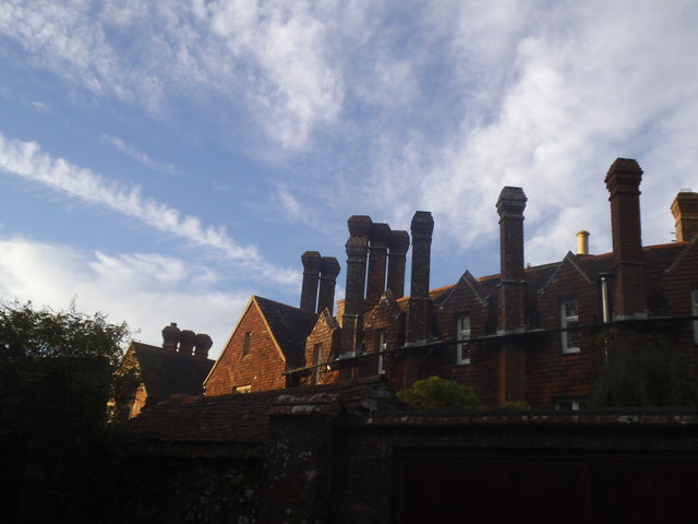
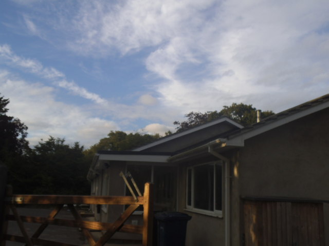
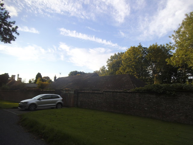
Grub Copse Images

Images are sourced within 2km of 51.110315/-0.45195187 or Grid Reference TQ0835. Thanks to Geograph Open Source API. All images are credited.

Bridge over the Downs Link path near Rudgwick A view of the Downs Link path near Rudgwick in West Sussex.  The path follows a dismantled railway line.  It also forms part of route 223 of the National Cycle Network.

The bridge carries a road over the former railway line.
Bridge over the Downs Link path near Rudgwick
A view of the Downs Link path near Rudgwick in West Sussex. The path follows a dismantled railway line. It also forms part of route 223 of the National Cycle Network. The bridge carries a road over the former railway line.
Woodsomes Farm, near Rudgwick Woodsomes Farm in countryside close to the West Sussex/Surrey border.
Woodsomes Farm, near Rudgwick
Woodsomes Farm in countryside close to the West Sussex/Surrey border.
Downs Link, near Rudgwick A view of the Downs Link path near Rudgwick in West Sussex.  The path also forms part of route 223 of the National Cycle Network.

For most of its length, the path follows the course of a dismantled railway.  Between Cranleigh and Rudgwick, however, the railway passed through a tunnel.  The path avoids the tunnel, instead climbing over the hill.  This view looks downhill towards Rudgwick.  A sign warns cyclists of a steep gradient and a blind bend.
Downs Link, near Rudgwick
A view of the Downs Link path near Rudgwick in West Sussex. The path also forms part of route 223 of the National Cycle Network. For most of its length, the path follows the course of a dismantled railway. Between Cranleigh and Rudgwick, however, the railway passed through a tunnel. The path avoids the tunnel, instead climbing over the hill. This view looks downhill towards Rudgwick. A sign warns cyclists of a steep gradient and a blind bend.
Downs Link and Sussex Border Path near Rudgwick A view of the Downs Link path near Rudgwick in West Sussex.  The path also forms part of route 223 of the National Cycle Network.

For most of its length, the path follows the course of a dismantled railway.  Between Cranleigh and Rudgwick, however, the railway passed through a tunnel.  The path avoids the tunnel, instead climbing through woodland over a hill.  Here, the Downs Link path meets the Sussex Border Path.  Both paths take the path ahead for a short distance.  This location is also the county boundary between West Sussex and Surrey.
Downs Link and Sussex Border Path near Rudgwick
A view of the Downs Link path near Rudgwick in West Sussex. The path also forms part of route 223 of the National Cycle Network. For most of its length, the path follows the course of a dismantled railway. Between Cranleigh and Rudgwick, however, the railway passed through a tunnel. The path avoids the tunnel, instead climbing through woodland over a hill. Here, the Downs Link path meets the Sussex Border Path. Both paths take the path ahead for a short distance. This location is also the county boundary between West Sussex and Surrey.
Cox Green Road, near Rudgwick Cox Green Road near Rudgwick, on the borders of Surrey and West Sussex.  Here, a bridge carries the road over the course of a dismantled railway.

Much of the dismantled railway forms the route of the Downs Link path and route 223 of the National Cycle Network.  A short distance south of this location, however, the railway passed through a tunnel.  The tunnel is closed, therefore the path and cycle route climb up to the road, crossing the bridge then passing through woodland before rejoining the railway route.
Cox Green Road, near Rudgwick
Cox Green Road near Rudgwick, on the borders of Surrey and West Sussex. Here, a bridge carries the road over the course of a dismantled railway. Much of the dismantled railway forms the route of the Downs Link path and route 223 of the National Cycle Network. A short distance south of this location, however, the railway passed through a tunnel. The tunnel is closed, therefore the path and cycle route climb up to the road, crossing the bridge then passing through woodland before rejoining the railway route.
Downs Link near Rudgwick The Downs Link path descending into a railway cutting where it will pass beneath the bridge visible ahead.  The path also forms part of route 223 of the National Cycle Network.

Much of the Downs Link path follows the course of a dismantled railway.  The tunnel is closed, therefore the path and cycle route climb through woodland to avoid the tunnel before rejoining the railway route.
Downs Link near Rudgwick
The Downs Link path descending into a railway cutting where it will pass beneath the bridge visible ahead. The path also forms part of route 223 of the National Cycle Network. Much of the Downs Link path follows the course of a dismantled railway. The tunnel is closed, therefore the path and cycle route climb through woodland to avoid the tunnel before rejoining the railway route.
Baynards station building, near Horsham Baynards station was situated in Surrey countryside close to the Sussex border.  The station closed in 1965, along with the railway which passed through it.  The building survives, however, and is used as a private house.

The driveway past the station forms part of the route of the Downs Link path, which itself forms part of route 223 of the National Cycle Network.

For more information about Baynards station, including photographs taken when it was still operating as a station, see the Disused Stations website: <span class="nowrap"><a title="http://www.disused-stations.org.uk/b/baynards/index.shtml" rel="nofollow ugc noopener" href="http://www.disused-stations.org.uk/b/baynards/index.shtml">Link</a><img style="margin-left:2px;" alt="External link" title="External link - shift click to open in new window" src="https://s1.geograph.org.uk/img/external.png" width="10" height="10"/></span>
Baynards station building, near Horsham
Baynards station was situated in Surrey countryside close to the Sussex border. The station closed in 1965, along with the railway which passed through it. The building survives, however, and is used as a private house. The driveway past the station forms part of the route of the Downs Link path, which itself forms part of route 223 of the National Cycle Network. For more information about Baynards station, including photographs taken when it was still operating as a station, see the Disused Stations website: LinkExternal link
Downs Link near Cranleigh The Downs Link path follows a dismantled railway line for most of its length.  It also forms part of route 223 of the National Cycle Network.
Downs Link near Cranleigh
The Downs Link path follows a dismantled railway line for most of its length. It also forms part of route 223 of the National Cycle Network.
Lawns Road at the junction of Cox Green Road
Lawns Road, Baynards
Entering West Sussex on Church Street, Cox Green
House with chimneys on Cox Green Road I have another picture of the one next door with a lot more than this.
House with chimneys on Cox Green Road
I have another picture of the one next door with a lot more than this.
Multiple chimneys on Cox Green Road I'm sure they don't need most of them but the architect went wild with the pseudo period design.
Multiple chimneys on Cox Green Road
I'm sure they don't need most of them but the architect went wild with the pseudo period design.
Bungalow on Lawns Road, Baynards This appears to be a holiday chalet and has a sports field next to it.
Bungalow on Lawns Road, Baynards
This appears to be a holiday chalet and has a sports field next to it.
Lawns Road, Baynards
Cox Green Road, Baynards
Church Street from the junction of Lynwick Street
Rudgwick Brickworks Sadly no longer in operation. Despite keeping the name it is now a business park including farming. There were piles of bricks in the front, now it is just the car park.
Rudgwick Brickworks
Sadly no longer in operation. Despite keeping the name it is now a business park including farming. There were piles of bricks in the front, now it is just the car park.
Show me another place!

Grub Copse is located at Grid Ref: TQ0835 (Lat: 51.110315, Lng: -0.45195187)

Administrative County: Surrey

District: Waverley

Police Authority: Surrey

What 3 Words

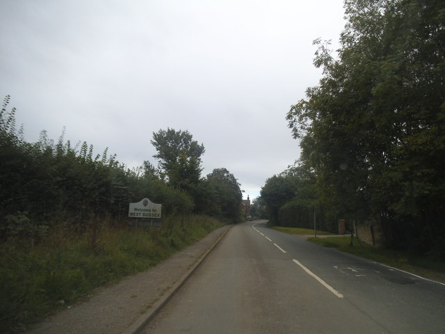
///pitching.sprayer.shots. Near Rudgwick, West Sussex

Related Wikis

Baynards railway station

Baynards was a railway station on the Cranleigh Line, between Guildford, Surrey, and Horsham, West Sussex, England. The station opened with the line on...

Baynards Park

Baynards Park is a 2,000 acres (810 ha) estate and site of a demolished country house with extant outbuildings, privately owned, in the south of the parishes...

Holy Trinity Church, Rudgwick

Holy Trinity Church is the Anglican parish church of Rudgwick, a village in the Horsham district of West Sussex, England. The oldest part of the church...

Longhurst Lodge

Longhurst Lodge is a Grade II listed building in Cranleigh, Surrey, England. It is located on the former Baynards Park estate, about a quarter of a mile...

Rudgwick

Rudgwick is a village and civil parish in the Horsham District of West Sussex, England. The village is 6 miles (10 km) west from Horsham on the north...

Rudgwick railway station

Rudgwick railway station was on the Cranleigh Line. It served the village of Rudgwick in West Sussex until June, 1965. == History == Rudgwick station opened...

High Weald AONB

The High Weald Area of Outstanding Natural Beauty is in south-east England. Covering an area of 1,450 square kilometres (560 sq mi), it takes up parts...

Smokejack Clay Pit

Smokejack Clay Pit is a 56-hectare (140-acre) geological Site of Special Scientific Interest east of Cranleigh in Surrey. It is a Geological Conservation...

Nearby Amenities

Located within 500m of 51.110315,-0.45195187
Barrier: stile
Lat/Long: 51.1068808/-0.4502352
Barrier: stile
Lat/Long: 51.1130414/-0.4547786
Barrier: stile
Lat/Long: 51.1092358/-0.4510074
Barrier: stile
Lat/Long: 51.106127/-0.4506158
The data included in this document is from www.openstreetmap.org. The data is made available under ODbL.

Have you been to Grub Copse?

Leave your review of Grub Copse below (or comments, questions and feedback).