Birchin Grove
Wood, Forest in Hertfordshire Dacorum
England
Birchin Grove
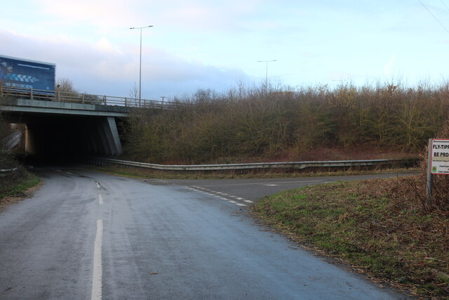
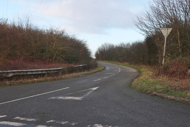
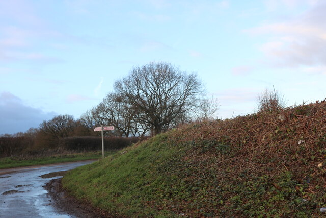
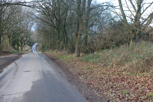
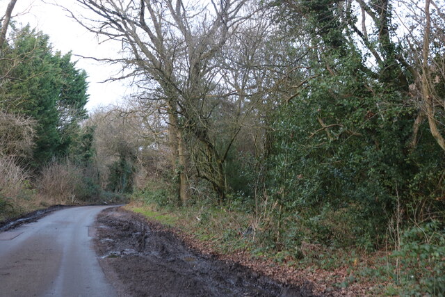
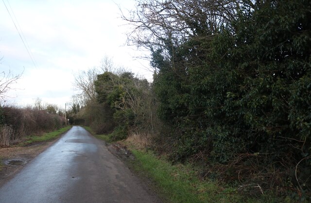
Birchin Grove is a picturesque woodland area located in Hertfordshire, England. Situated amidst the sprawling countryside, this charming forest is a haven for nature enthusiasts and those seeking tranquility away from the hustle and bustle of city life.
Covering an expansive area of approximately 200 acres, Birchin Grove is known for its diverse range of plant and animal species. The wood is primarily composed of tall oak trees, which dominate the landscape and create a sense of grandeur. The forest floor is carpeted with a myriad of wildflowers, including bluebells, primroses, and wood anemones, providing a colorful and enchanting display during the spring and summer months.
The wood is crisscrossed with numerous footpaths and trails, allowing visitors to explore its beauty at their own pace. These paths lead to secluded clearings, babbling brooks, and hidden ponds that add to the overall charm of the forest. Wildlife enthusiasts can spot a variety of creatures, from squirrels and rabbits to a wide array of bird species, including woodpeckers and tawny owls.
Birchin Grove is a popular destination for outdoor activities such as hiking, birdwatching, and photography. The peaceful and serene ambiance of the forest provides the perfect setting for individuals to immerse themselves in nature and escape the stresses of everyday life.
Overall, Birchin Grove in Hertfordshire is a hidden gem, offering a tranquil and idyllic woodland experience for those seeking solace in nature's embrace.
If you have any feedback on the listing, please let us know in the comments section below.
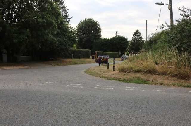
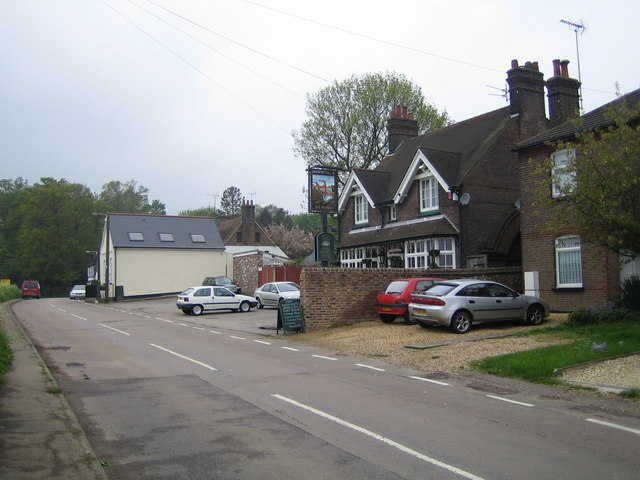
Birchin Grove Images
Images are sourced within 2km of 51.847363/-0.42955437 or Grid Reference TL0817. Thanks to Geograph Open Source API. All images are credited.


Birchin Grove is located at Grid Ref: TL0817 (Lat: 51.847363, Lng: -0.42955437)
Administrative County: Hertfordshire
District: Dacorum
Police Authority: Hertfordshire
What 3 Words
///stages.dunes.closer. Near Markyate, Hertfordshire
Nearby Locations
Related Wikis

Pepperstock
Pepperstock is a small village located in Central Bedfordshire, England. The village itself mostly consists of residential caravan parks. However, Pepperstock...

Slip End
Slip End is a village and civil parish in Central Bedfordshire, England. The village is located very near to Luton. As well as the village of Slip End...

Woodside Farm and Wildfowl Park
Woodside Farm and Wildfowl Park is a rare breeds farm and wildfowl park at Slip End near Luton in Central Bedfordshire. The park covers 7 acres (28,000...

Aley Green
Aley Green is a hamlet in Bedfordshire, England. Aley Green is within the civil parish of Caddington. However, the cemetery and the southern end of Mancroft...

Lower Woodside
Lower Woodside is a hamlet in the Central Bedfordshire district of Bedfordshire, England. The settlement lies north of Aley Green and south-west of Woodside...

Caddington Hall
Caddington Hall was a country estate in Markyate, Bedfordshire, England. The house was demolished in 1975.In 1804, a family by the name of Pedley traded...
Woodside, Bedfordshire
Woodside is a hamlet located in the Central Bedfordshire district of Bedfordshire, England. Located at the junction of Woodside Road and Grove Road, Woodside...

Mossman Collection
The Mossman Carriage Collection is a museum housing a collection of horse-drawn vehicles in Stockwood Park, Luton, Bedfordshire. It is the largest collection...
Nearby Amenities
Located within 500m of 51.847363,-0.42955437Have you been to Birchin Grove?
Leave your review of Birchin Grove below (or comments, questions and feedback).