Edmonston

Settlement in Lanarkshire

Scotland

Edmonston

Quad bike tracks on Broomy Law Looking towards the un-named rise north-east of the summit.
Quad bike tracks on Broomy Law Credit: Alan O'Dowd

Edmonston is a small village located in the South Lanarkshire council area of Scotland. Situated in the central lowlands, it lies around 17 miles southeast of Glasgow and 30 miles southwest of Edinburgh. With a population of approximately 500 residents, the village is known for its peaceful atmosphere and picturesque surroundings.

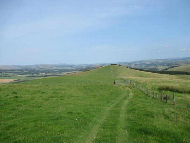
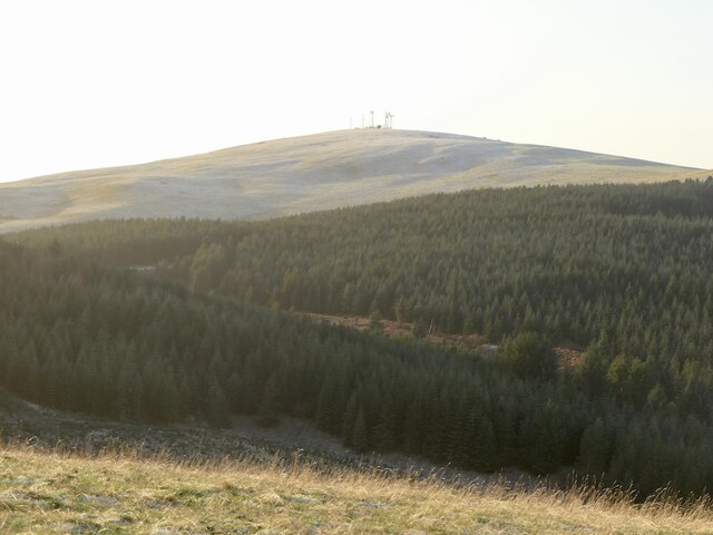
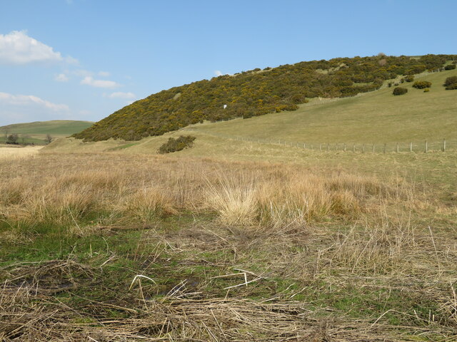
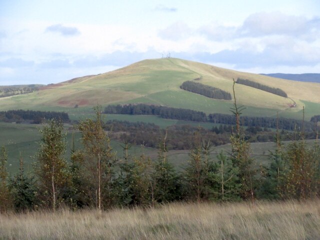
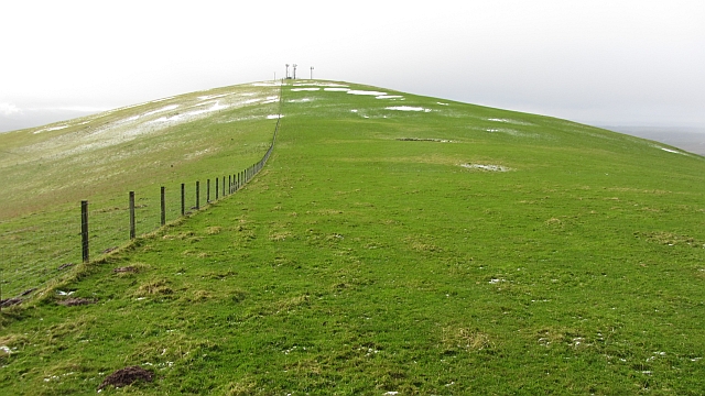
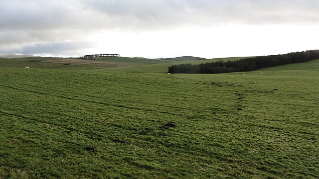
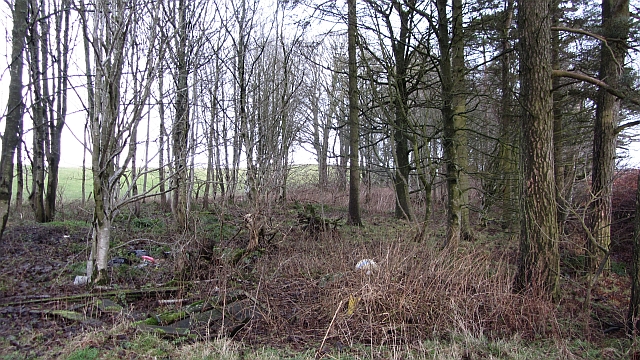
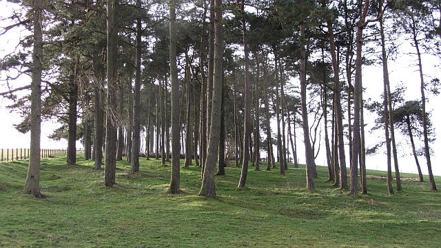
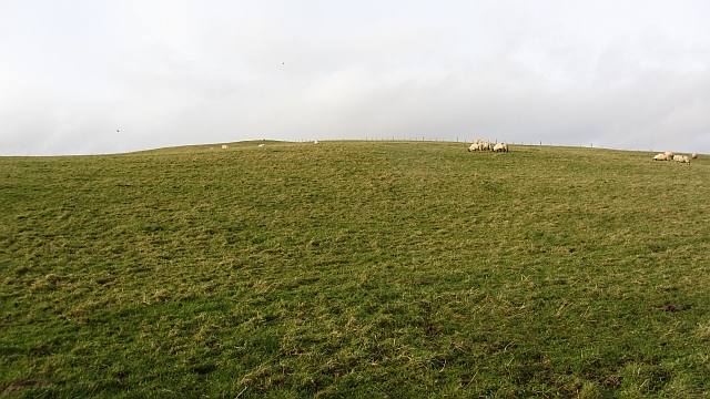
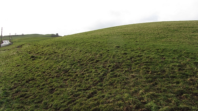
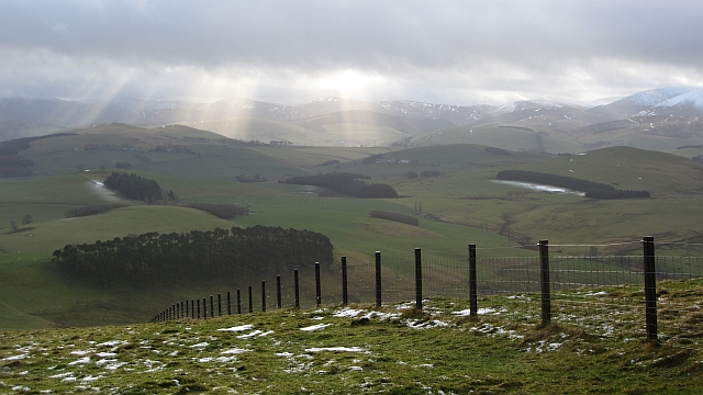
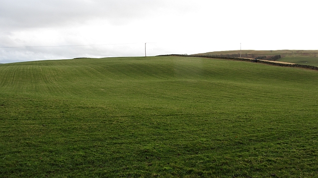
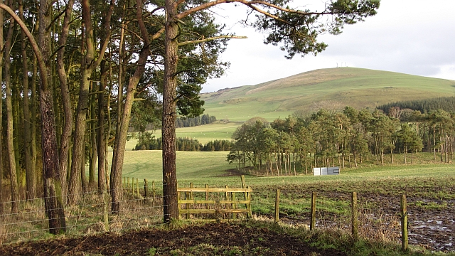
The village is surrounded by lush green fields and rolling hills, offering a tranquil setting for residents and visitors alike. It is conveniently located near major transportation routes, including the M74 motorway, providing easy access to nearby towns and cities. The nearby River Clyde also offers opportunities for recreational activities such as fishing and boating.

Edmonston has a rich history, dating back to the medieval era. The village is home to several historic landmarks, including the Edmonston Castle ruins, which stands as a testament to its past. The village also has a small primary school, providing education to local children.

Although Edmonston is primarily a residential area, there are a few amenities available to residents. These include a local pub, offering a gathering place for the community, and a small convenience store for essential needs. For more extensive shopping, residents can easily access the nearby towns of Hamilton and Motherwell, which offer a wide range of retail options.

Overall, Edmonston is a charming village with a close-knit community, offering a peaceful and scenic environment for its residents to enjoy.

If you have any feedback on the listing, please let us know in the comments section below.

Edmonston Images

Images are sourced within 2km of 55.662578/-3.4798788 or Grid Reference NT0742. Thanks to Geograph Open Source API. All images are credited.

Quad bike tracks on Broomy Law Looking towards the un-named rise north-east of the summit.
Quad bike tracks on Broomy Law
Looking towards the un-named rise north-east of the summit.
Old tractor near Elsrickle I wasn't able to see anything to identify what make of tractor this is, but a looks a good few decades old.
Old tractor near Elsrickle
I wasn't able to see anything to identify what make of tractor this is, but a looks a good few decades old.
Broomy Law View from Sandy Hill.
Broomy Law
View from Sandy Hill.
Candy Burn ford and footbridge The boundary between the Scottish Borders [this side] and South Lanarkshire [across the burn]. On the road from Skirling and Cambwell to the main A702 Biggar to Edinburgh road.
Candy Burn ford and footbridge
The boundary between the Scottish Borders [this side] and South Lanarkshire [across the burn]. On the road from Skirling and Cambwell to the main A702 Biggar to Edinburgh road.
Hillside Gorse at Cambwell The hill slopes down to Candy Burn.
Hillside Gorse at Cambwell
The hill slopes down to Candy Burn.
Broomy Law Mast topped hill.
Broomy Law
Mast topped hill.
Broomy Law A dip on the northeast ridge of Broomy Law. The summit is amongst masts, but is accessible.
Broomy Law
A dip on the northeast ridge of Broomy Law. The summit is amongst masts, but is accessible.
Summit, Broomy Law With gratitude to the telecoms companies who have left the summit outwith their enclosures.
Summit, Broomy Law
With gratitude to the telecoms companies who have left the summit outwith their enclosures.
Grassland, Hyndshawland They have a mole.
Grassland, Hyndshawland
They have a mole.
Stripwood, Middle Mains One of many shelterbelts hereabouts.
Stripwood, Middle Mains
One of many shelterbelts hereabouts.
Strip wood, Strathbogie A grown up and grown out shelterbelt.
Strip wood, Strathbogie
A grown up and grown out shelterbelt.
Castle Hill Sheep graze on a small hill north of Biggar. There is a hill fort at the summit.
Castle Hill
Sheep graze on a small hill north of Biggar. There is a hill fort at the summit.
Slopes of Castle Hill Grassland beside the A702.
Slopes of Castle Hill
Grassland beside the A702.
Masts and enclosures, Broomy Law There are several masts in this field which is also the summit of Broomy Law.
Masts and enclosures, Broomy Law
There are several masts in this field which is also the summit of Broomy Law.
Open cabinet, Broomy Law A cabinet containing circuit boards is open and exposed to the elements. The enclosure is secure, suggesting that this is a weather event. There had been a severe storm a few days earlier and winds up here would have been in excess of 100kph.
Open cabinet, Broomy Law
A cabinet containing circuit boards is open and exposed to the elements. The enclosure is secure, suggesting that this is a weather event. There had been a severe storm a few days earlier and winds up here would have been in excess of 100kph.
Fence, Broomy Law A view from near the summit over an electric fence towards farmland near Biggar and Skirling. Shaded areas have kept their thin layer of snow.
Fence, Broomy Law
A view from near the summit over an electric fence towards farmland near Biggar and Skirling. Shaded areas have kept their thin layer of snow.
Grassland, Middle Mains Rolling hill country north of  Biggar.
Grassland, Middle Mains
Rolling hill country north of Biggar.
Clubhead Plantation and Kame Wood A pair of woodlands at Strathbogie near Elsrickle. There is also a view over to Broomy Law.
Clubhead Plantation and Kame Wood
A pair of woodlands at Strathbogie near Elsrickle. There is also a view over to Broomy Law.
Show me another place!

Edmonston is located at Grid Ref: NT0742 (Lat: 55.662578, Lng: -3.4798788)

Unitary Authority: South Lanarkshire

Police Authority: Lanarkshire

What 3 Words

///harsh.fights.neck. Near Biggar, South Lanarkshire

Nearby Locations

Edmonston High House

Related Wikis

Brownsbank

Brownsbank (Brounsbank in Scots) is a cottage close to the small settlement of Candymill to the north of Biggar in Scotland. It is best known as the former...

Elsrickle

Elsrickle is a village in South Lanarkshire, Scotland. It lies on Blackmount Hill, which is at the end of the Pentland Hills. An elrick is an old place...

Skirling

Skirling is a parish, community council area and village in Peeblesshire in the Scottish Borders situated 2+1⁄2 miles east of Biggar in Lanarkshire. Biggar...

Walston, South Lanarkshire

Walston is a hamlet in the middle of black mount area of South Lanarkshire. == History == Patrick Molleson in the Old Statistical Account records that...

Nearby Amenities

Located within 500m of 55.662578,-3.4798788
Power: pole
Lat/Long: 55.6599836/-3.4804801
Power: pole
Lat/Long: 55.6620594/-3.4815315
Power: pole
Lat/Long: 55.6584402/-3.4796862
Power: pole
Lat/Long: 55.6592261/-3.4801982
Power: pole
Lat/Long: 55.6608027/-3.480901
Power: pole
Lat/Long: 55.6637167/-3.4835885
Power: pole
Lat/Long: 55.6648755/-3.4854339
Power: pole
Lat/Long: 55.6615783/-3.4812902
Power: pole
Lat/Long: 55.6625941/-3.4818183
Power: pole
Lat/Long: 55.6629723/-3.4824298
Power: pole
Lat/Long: 55.6631599/-3.4827195
Power: pole
Lat/Long: 55.6643097/-3.4845434
Candy Mill
Place: hamlet
Lat/Long: 55.6595392/-3.4748202
Power: pole
Lat/Long: 55.6600607/-3.4752801
Power: pole
Lat/Long: 55.660158/-3.4745674
Power: pole
Lat/Long: 55.6603086/-3.4734531
Power: pole
Lat/Long: 55.6653059/-3.4844065
Power: pole
Lat/Long: 55.6657316/-3.4834079
Power: pole
Lat/Long: 55.6658478/-3.4831009
The data included in this document is from www.openstreetmap.org. The data is made available under ODbL.

Have you been to Edmonston?

Leave your review of Edmonston below (or comments, questions and feedback).