Hadfold Wood
Wood, Forest in Sussex Horsham
England
Hadfold Wood
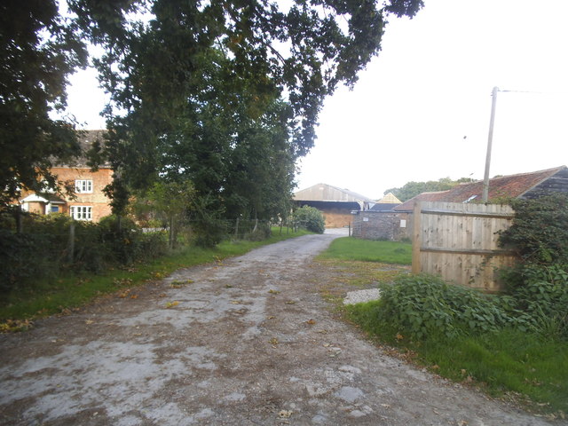
Hadfold Wood is a picturesque woodland located in the county of Sussex, England. Situated near the village of Hadfold, this enchanting forest covers an area of approximately 100 hectares. It is characterized by its diverse range of tree species, including oak, beech, ash, and birch, creating a rich and varied ecosystem.
The wood is renowned for its natural beauty, with a carpet of bluebells that blooms in the spring, creating a stunning display of vibrant colors. The forest floor is also adorned with ferns, mosses, and other woodland plants, adding to its charm and appeal.
Hadfold Wood is a haven for wildlife, hosting a plethora of species. Birdwatchers can spot various woodland birds such as woodpeckers, owls, and tits. Squirrels scurry through the treetops, and if lucky, visitors might catch a glimpse of a roe deer or a fox exploring the undergrowth.
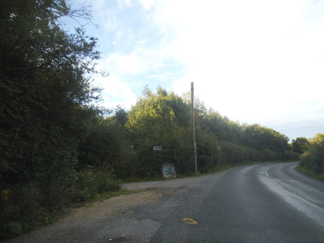
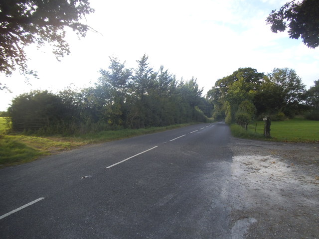
The wood offers a network of walking trails, allowing visitors to explore its beauty at their own pace. These paths wind through the trees, providing a tranquil escape from the bustle of everyday life. Whether it's a leisurely stroll or a more challenging hike, Hadfold Wood caters to all levels of fitness and interests.
Managed by a local conservation trust, the wood is well-maintained, ensuring the preservation of its natural habitat. It is a popular destination for nature enthusiasts, families, and individuals seeking a peaceful retreat in the heart of the Sussex countryside.
Overall, Hadfold Wood is a captivating woodland that offers a captivating mix of natural beauty, diverse wildlife, and peaceful serenity, making it an idyllic destination for nature lovers and those looking to reconnect with nature.
If you have any feedback on the listing, please let us know in the comments section below.
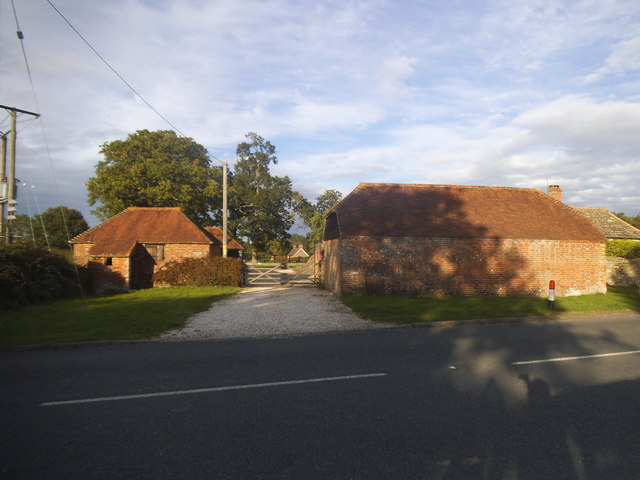
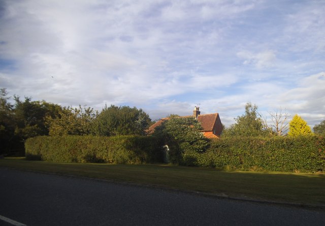
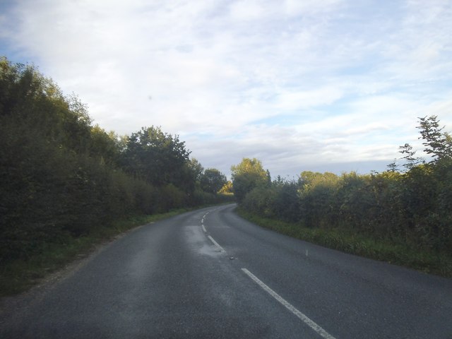
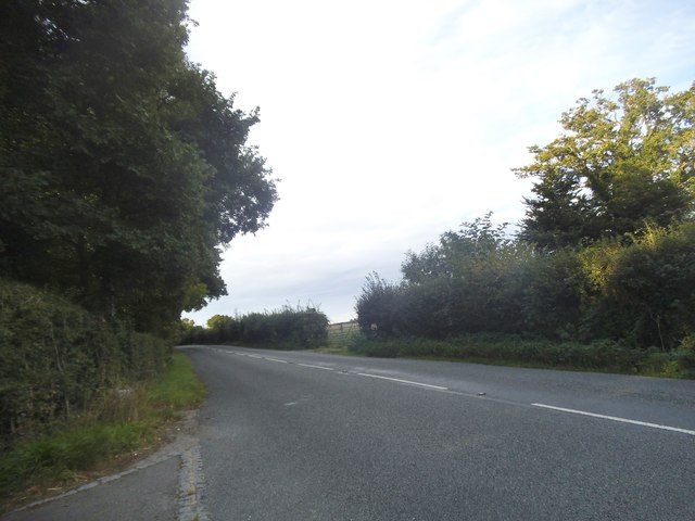
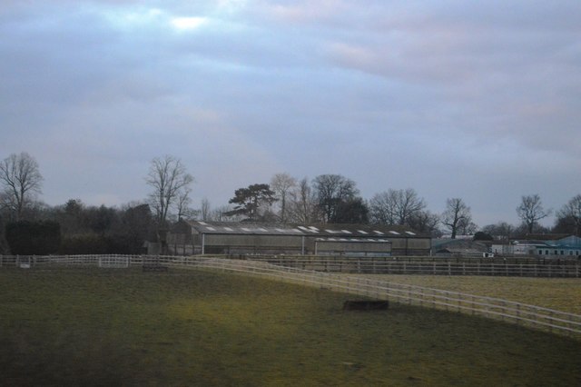
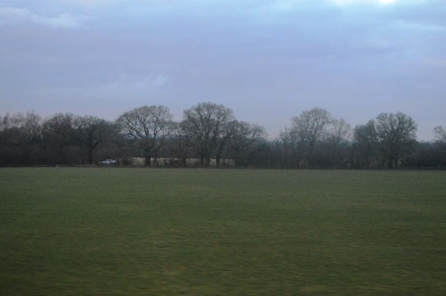
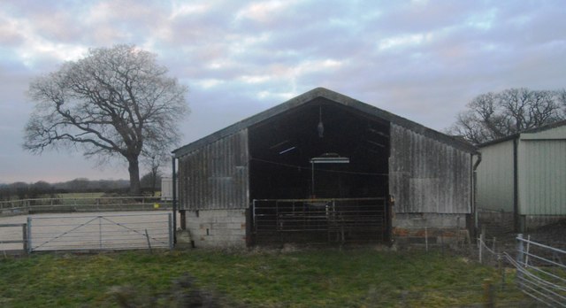
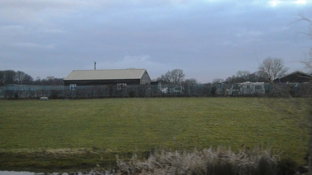
Hadfold Wood Images
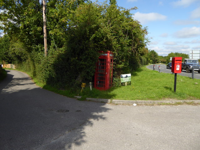
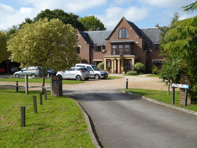
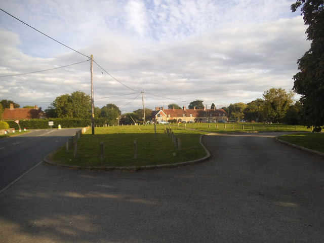
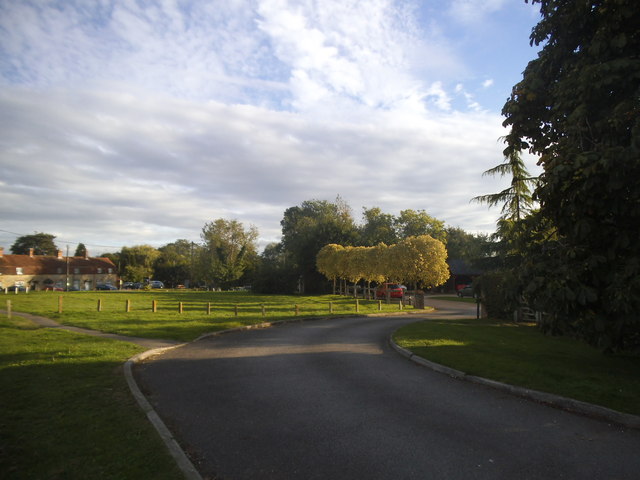
Images are sourced within 2km of 50.999669/-0.45957034 or Grid Reference TQ0823. Thanks to Geograph Open Source API. All images are credited.


Hadfold Wood is located at Grid Ref: TQ0823 (Lat: 50.999669, Lng: -0.45957034)
Administrative County: West Sussex
District: Horsham
Police Authority: Sussex
What 3 Words
///picnic.dorms.adjust. Near Billingshurst, West Sussex
Nearby Locations
Related Wikis

Adversane
Adversane is a large hamlet in the Horsham District of West Sussex, England, located 1.5 miles south of Billingshurst (where, at the 2011 Census, the population...

A29 road
The A29 is a main road in England in Surrey and chiefly in West Sussex that runs for 34.4 miles (55.4 km). == Route == The road starts at the Beare Green...

Billingshurst railway station
Billingshurst Railway Station serves the market town of Billingshurst, in West Sussex, England. It is on the Arun Valley Line 44 miles 71 chains (72.2...

The Weald School
The Weald School is a coeducational secondary school and sixth form. It caters for around 1,700 pupils in years 7 to 13, including over 300 in its sixth...

Coneyhurst Cutting
Coneyhurst Cutting is a 0.2-hectare (0.49-acre) geological Site of Special Scientific Interest south-east of Billingshurst in West Sussex. It is a Geological...

Coneyhurst
Coneyhurst is a hamlet in the Horsham District of West Sussex, England. It lies on the A272 road 1.6 miles (2.5 km) southeast of Billingshurst (where the...
North Heath
North Heath is a hamlet in the Horsham District of West Sussex, England. It lies just off the A29 road 1.9 miles (3 km) north of Pulborough. The Brinsbury...

Billingshurst Unitarian Chapel
Billingshurst Unitarian Chapel is a place of worship in Billingshurst in the English county of West Sussex. The cottage-like building was erected in 1754...
Nearby Amenities
Located within 500m of 50.999669,-0.45957034Have you been to Hadfold Wood?
Leave your review of Hadfold Wood below (or comments, questions and feedback).