Beeding's Copse
Wood, Forest in Sussex Horsham
England
Beeding's Copse
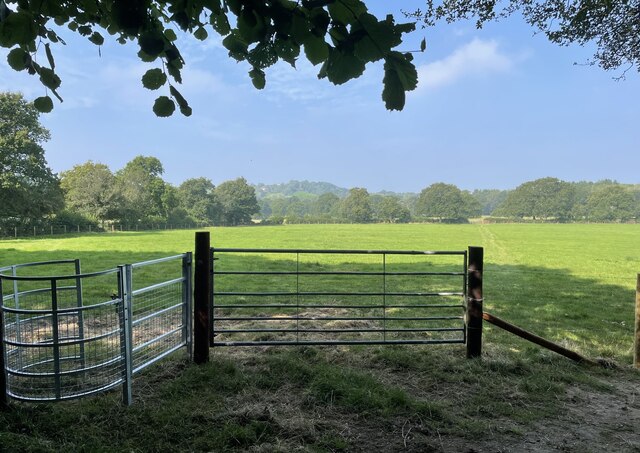
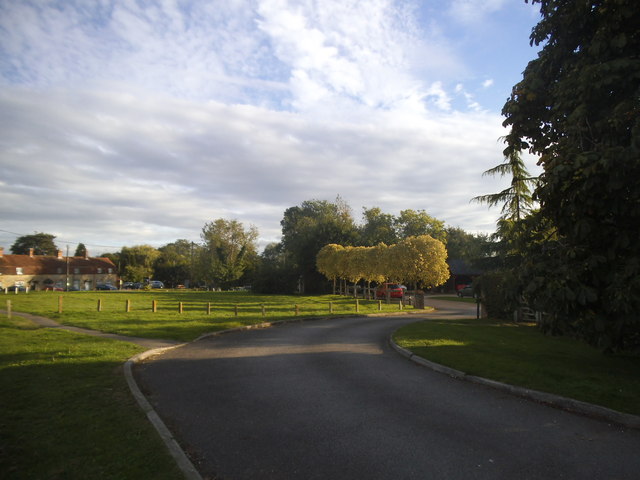
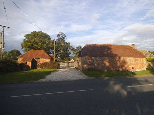
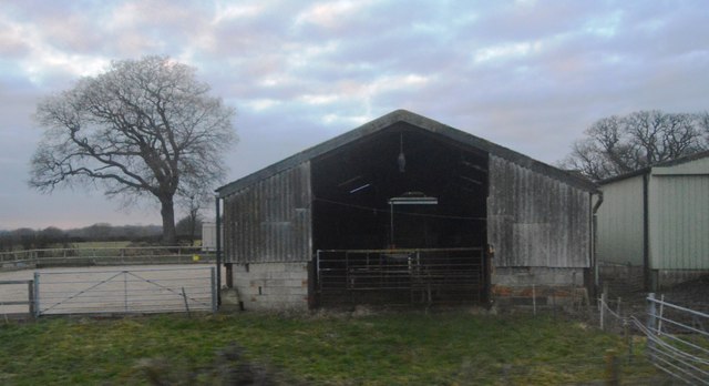
Beeding's Copse is an enchanting woodland located in Sussex, England. Covering an area of approximately 50 acres, this picturesque forest is a haven for nature enthusiasts and outdoor lovers alike. With its serene atmosphere and diverse ecosystem, it offers a truly immersive experience in the heart of nature.
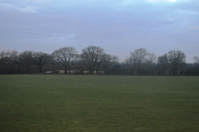
The copse is characterized by its dense canopy of towering trees, predominantly consisting of oak, ash, and beech. These magnificent trees provide ample shade, creating a cool and tranquil environment. The forest floor is carpeted with a rich variety of flora, including bluebells, wild garlic, and ferns, adding a splash of color to the landscape.
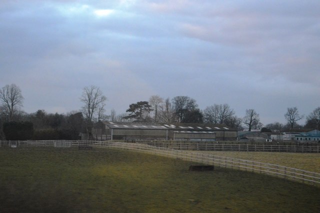
This woodland is home to a plethora of wildlife species, making it an ideal spot for birdwatching and animal spotting. Visitors may have the opportunity to catch a glimpse of deer, foxes, badgers, and a wide array of bird species, such as woodpeckers, owls, and thrushes. The copse's diverse habitats also support a variety of insects and small mammals.
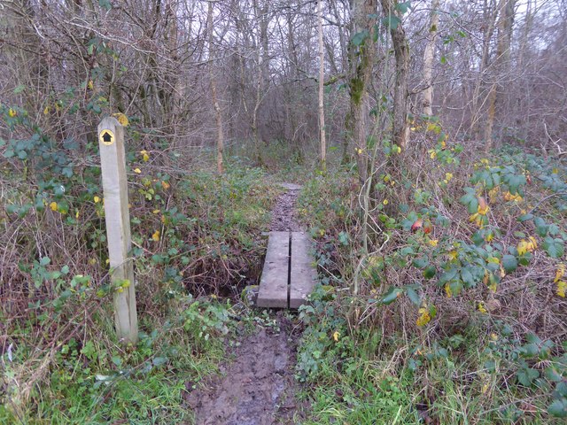
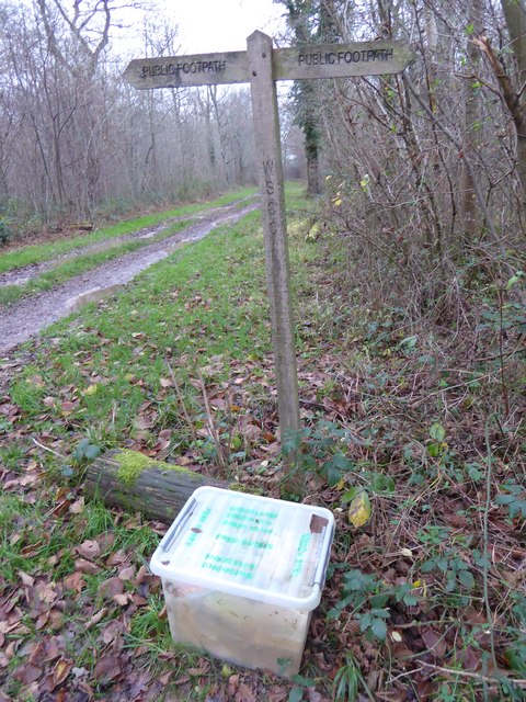
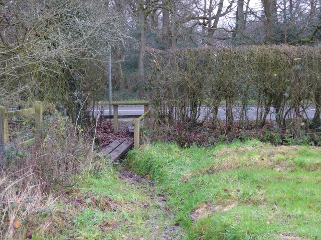
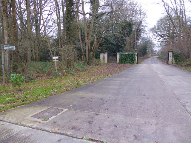
Beeding's Copse offers a network of well-maintained footpaths, allowing visitors to explore its natural beauty at their own pace. These paths wind through the forest, offering scenic views and opportunities for peaceful walks or invigorating hikes. Additionally, there are several picnic areas where visitors can relax and enjoy a meal amidst the tranquil surroundings.
Whether you are seeking solitude, wildlife encounters, or simply a chance to reconnect with nature, Beeding's Copse is a captivating destination that offers a true escape from the hustle and bustle of everyday life.
If you have any feedback on the listing, please let us know in the comments section below.
Beeding's Copse Images
Images are sourced within 2km of 50.984894/-0.46099969 or Grid Reference TQ0821. Thanks to Geograph Open Source API. All images are credited.


Beeding's Copse is located at Grid Ref: TQ0821 (Lat: 50.984894, Lng: -0.46099969)
Administrative County: West Sussex
District: Horsham
Police Authority: Sussex
What 3 Words
///scrubbing.buckling.informer. Near Billingshurst, West Sussex
Nearby Locations
Related Wikis

Gay Street, West Sussex
Gay Street is a hamlet in the Horsham District of West Sussex, England. It lies on the North Heath to West Chiltington road 1.9 miles (3.1 km) northeast...

North Heath
North Heath is a hamlet in the Horsham District of West Sussex, England. It lies just off the A29 road 1.9 miles (3 km) north of Pulborough. The Brinsbury...

Adversane
Adversane is a large hamlet in the Horsham District of West Sussex, England, located 1.5 miles south of Billingshurst (where, at the 2011 Census, the population...

Pulborough (electoral division)
Pulborough is an electoral division of West Sussex in the United Kingdom and returns one member to sit on West Sussex County Council. The current County...

A29 road
The A29 is a main road in England in Surrey and chiefly in West Sussex that runs for 34.4 miles (55.4 km). == Route == The road starts at the Beare Green...
Codmore Hill
Codmore Hill is a hamlet in the Horsham District of West Sussex, England. It lies on the A29 road 1 mile (1.6 km) north of Pulborough. It is in the civil...
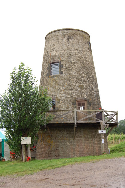
Nutbourne Windmill
Nutbourne Windmill is a tower mill at Nutbourne, Sussex, England which has been converted to retail use. == History == Nutbourne Windmill was built in...
Nutbourne, Horsham
Nutbourne is a hamlet running north–south situated 1.5 miles (2.4 km) east of Pulborough in the Horsham District of West Sussex and is in Pulborough civil...
Nearby Amenities
Located within 500m of 50.984894,-0.46099969Have you been to Beeding's Copse?
Leave your review of Beeding's Copse below (or comments, questions and feedback).