Bourne Wood
Wood, Forest in Lincolnshire South Kesteven
England
Bourne Wood
The requested URL returned error: 429 Too Many Requests
If you have any feedback on the listing, please let us know in the comments section below.
Bourne Wood Images
Images are sourced within 2km of 52.777948/-0.40070068 or Grid Reference TF0721. Thanks to Geograph Open Source API. All images are credited.


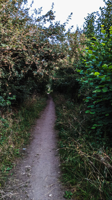
![Look up again More of the canopy of the tree in [[[7453486]].](https://s1.geograph.org.uk/geophotos/07/45/35/7453521_4032a8ff.jpg)
Bourne Wood is located at Grid Ref: TF0721 (Lat: 52.777948, Lng: -0.40070068)
Administrative County: Lincolnshire
District: South Kesteven
Police Authority: Lincolnshire
What 3 Words
///rails.cringes.media. Near Bourne, Lincolnshire
Nearby Locations
Related Wikis

Bourne Woods
Bourne Woods are situated near Bourne, Lincolnshire, England, and includes Bourne Wood and Fox Wood. Bourne Wood (National Grid reference TF0821; Co...
Cawthorpe
Cawthorpe is a hamlet in the civil parish of Bourne, in the South Kesteven district of Lincolnshire, England. Cawthorpe holds four Grade II listed buildings...

Scottlethorpe
Scottlethorpe is a village in the South Kesteven district of Lincolnshire, England. It is situated approximately 3 miles (4.8 km) north-west from Bourne...

Bourne Eau
Bourne Eau is a short river which rises from an artesian spring in the town of Bourne in Lincolnshire, England, and flows in an easterly direction to join...
Nearby Amenities
Located within 500m of 52.777948,-0.40070068Have you been to Bourne Wood?
Leave your review of Bourne Wood below (or comments, questions and feedback).