Eaton Copse
Wood, Forest in Sussex Horsham
England
Eaton Copse
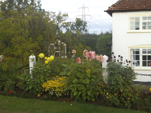
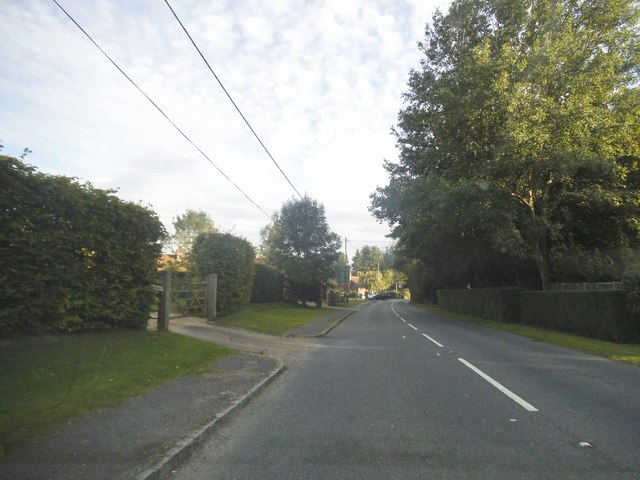
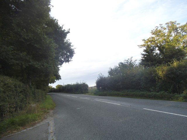
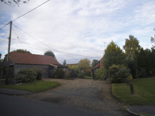
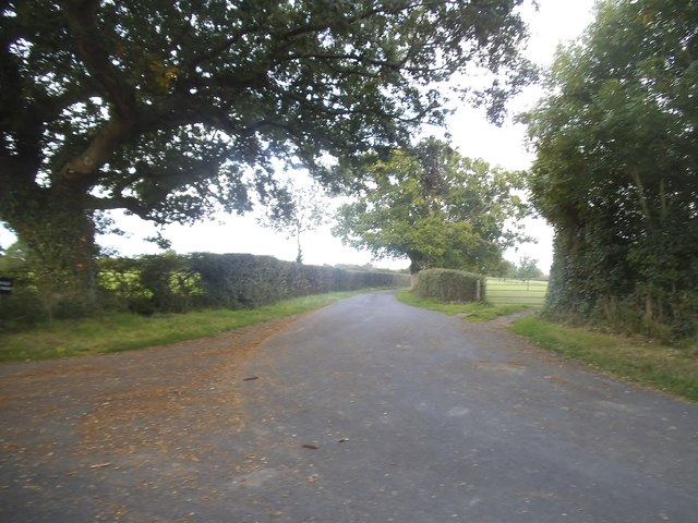
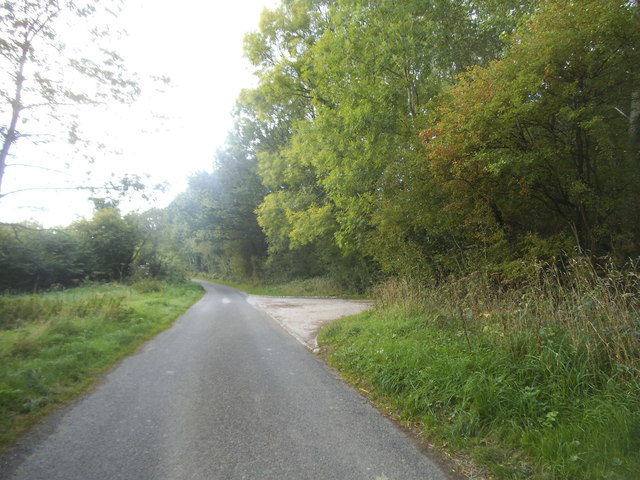
Eaton Copse, located in the county of Sussex, England, is a picturesque wood or forest that spans across a significant area of land. With its diverse range of flora and fauna, it offers an enchanting and tranquil environment for nature enthusiasts and visitors alike.
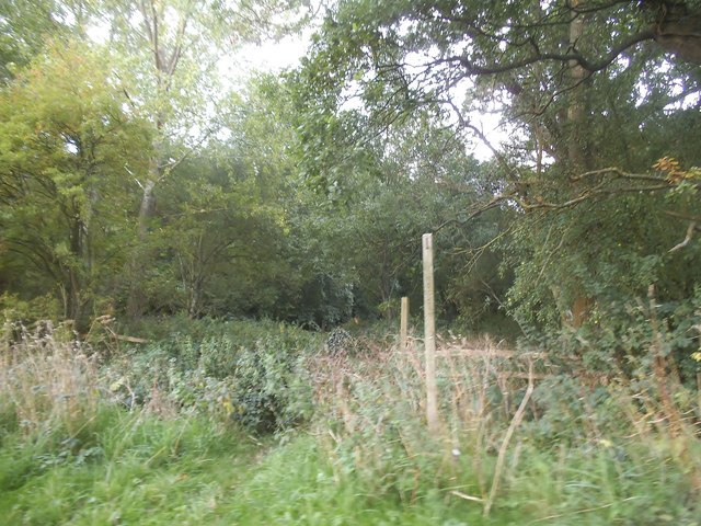
The copse is primarily composed of deciduous trees such as oak, beech, and chestnut, which create a dense canopy that provides shade and shelter. The forest floor is adorned with a variety of wildflowers, ferns, and mosses, adding to the area's natural beauty. The presence of these plants also supports a rich ecosystem, attracting a wide array of wildlife, including birds, mammals, and insects.
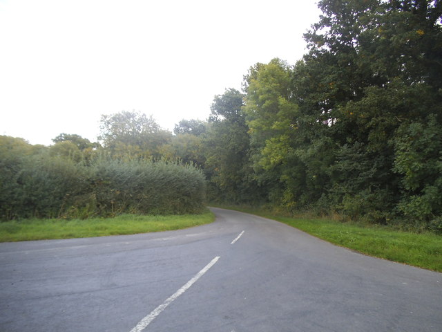
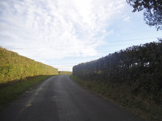
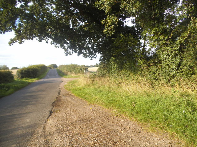
Visitors to Eaton Copse can enjoy a range of activities, such as walking, hiking, and nature photography. There are numerous well-maintained trails that wind through the forest, allowing visitors to explore its hidden corners and discover its hidden gems. The peaceful atmosphere and lush surroundings make it an ideal location for those seeking solitude and a break from the fast-paced urban lifestyle.
Additionally, Eaton Copse is home to several natural features, including small streams and ponds, which further enhance its charm. These water bodies not only provide a habitat for aquatic organisms but also serve as a source of water for the surrounding vegetation.
Overall, Eaton Copse is a captivating woodland area that showcases the beauty of Sussex's natural landscape. Its diverse flora and fauna, coupled with its serene ambiance, make it a must-visit destination for nature enthusiasts and anyone seeking a peaceful retreat into the heart of nature.
If you have any feedback on the listing, please let us know in the comments section below.
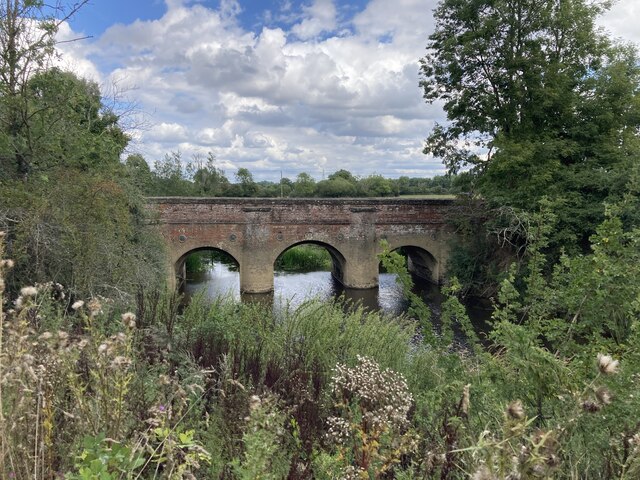
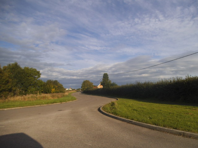
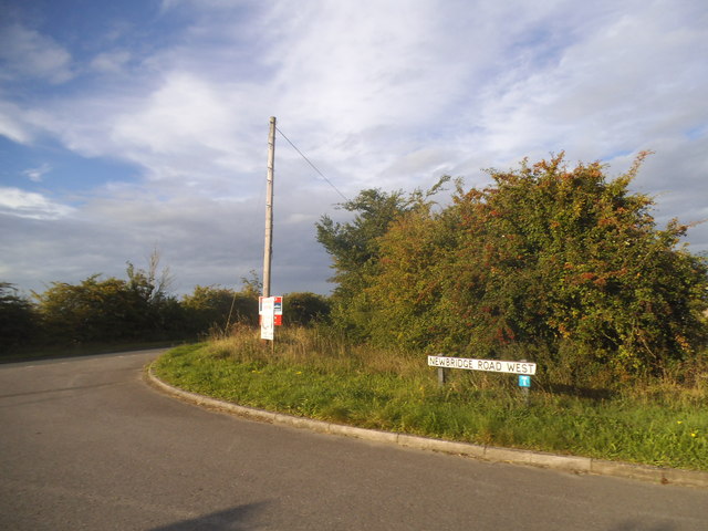
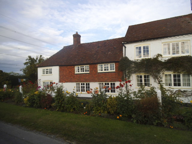
Eaton Copse Images
Images are sourced within 2km of 51.027679/-0.46210731 or Grid Reference TQ0726. Thanks to Geograph Open Source API. All images are credited.


Eaton Copse is located at Grid Ref: TQ0726 (Lat: 51.027679, Lng: -0.46210731)
Administrative County: West Sussex
District: Horsham
Police Authority: Sussex
What 3 Words
///lyricist.fabric.weekends. Near Billingshurst, West Sussex
Nearby Locations
Related Wikis

Billingshurst F.C.
Billingshurst Football Club is a football club based in Billingshurst, West Sussex, England. They are currently members of the Southern Combination Division...

Billingshurst Unitarian Chapel
Billingshurst Unitarian Chapel is a place of worship in Billingshurst in the English county of West Sussex. The cottage-like building was erected in 1754...

Billingshurst
Billingshurst is a village and civil parish in the Horsham District of West Sussex, England. The village lies on the A29 road (the Roman Stane Street)...

Coppedhall Hanger
Coppedhall Hanger is a 0.6-hectare (1.5-acre) geological Site of Special Scientific Interest north of Billingshurst in West Sussex. It is a Geological...
The Weald School
The Weald School is a coeducational secondary school and sixth form. It caters for around 1,700 pupils in years 7 to 13, including over 300 in its sixth...

Billingshurst railway station
Billingshurst Railway Station serves the market town of Billingshurst, in West Sussex, England. It is on the Arun Valley Line 44 miles 71 chains (72.2...

A29 road
The A29 is a main road in England in Surrey and chiefly in West Sussex that runs for 34.4 miles (55.4 km). == Route == The road starts at the Beare Green...

The Haven, West Sussex
The Haven is a rural hamlet in West Sussex, south east England located about 7 miles to the west of Horsham.The Haven is primarily an agricultural area...
Related Videos


Ash Lane, Billingshurst
Built approximately seven years ago is this extremely well presented and maintained two double bedroom, semi detached home.
Nearby Amenities
Located within 500m of 51.027679,-0.46210731Have you been to Eaton Copse?
Leave your review of Eaton Copse below (or comments, questions and feedback).