Coppedhall Hanger
Wood, Forest in Sussex Horsham
England
Coppedhall Hanger
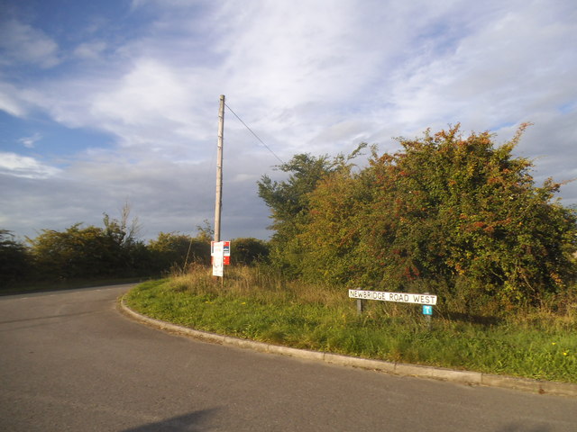
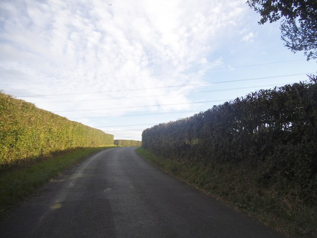
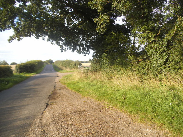
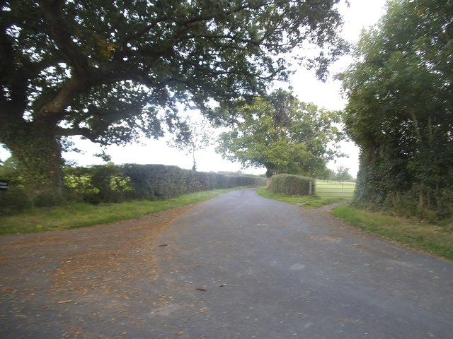
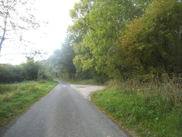
Coppedhall Hanger is a picturesque woodland area located in Sussex, England. It is a part of the larger Coppedhall Estate and covers an expansive area of lush greenery and natural beauty. The hanger, which refers to a steeply sloping piece of land, is characterized by its thick, dense forest of predominantly deciduous trees.
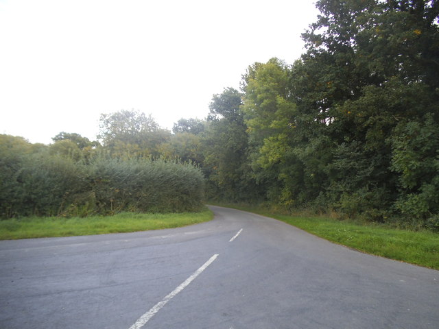
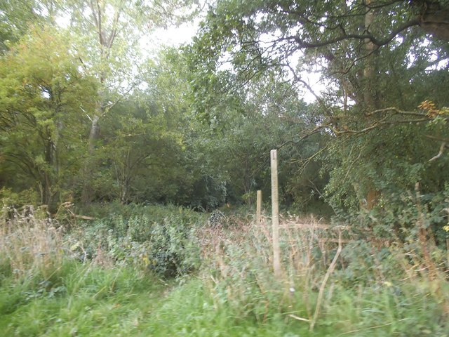
The woodland is home to a diverse range of flora and fauna, making it a haven for nature enthusiasts and wildlife observers. The canopy is dominated by towering oak and beech trees, with intermittent patches of hazel, holly, and birch. This variety of tree species creates a vibrant and ever-changing landscape throughout the seasons, with vibrant spring blossoms, lush summer foliage, and fiery autumn colors.
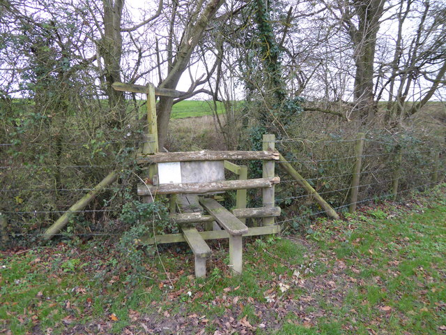
Coppedhall Hanger boasts an extensive network of footpaths and trails, allowing visitors to explore the woodland at their leisure. These paths wind through the forest, revealing hidden clearings, babbling brooks, and tranquil ponds. The enchanting atmosphere of the hanger is further accentuated by the melodic chirping of birds and the occasional rustle of small animals scurrying through the undergrowth.
The woodland is also of historical significance, with remnants of ancient settlements and archaeological sites scattered throughout. These traces of the past provide a fascinating glimpse into the rich history of the area and add a layer of intrigue to the natural beauty of Coppedhall Hanger.
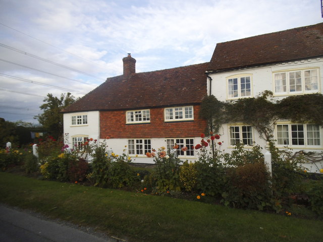
Overall, Coppedhall Hanger is a captivating woodland retreat that offers a serene and immersive experience in the heart of Sussex. Whether for a leisurely walk, wildlife spotting, or historical exploration, this enchanting forest is a must-visit destination for nature lovers and history enthusiasts alike.
If you have any feedback on the listing, please let us know in the comments section below.
Coppedhall Hanger Images
Images are sourced within 2km of 51.038503/-0.46251925 or Grid Reference TQ0727. Thanks to Geograph Open Source API. All images are credited.


Coppedhall Hanger is located at Grid Ref: TQ0727 (Lat: 51.038503, Lng: -0.46251925)
Administrative County: West Sussex
District: Horsham
Police Authority: Sussex
What 3 Words
///heads.regulates.homework. Near Billingshurst, West Sussex
Nearby Locations
Related Wikis

Coppedhall Hanger
Coppedhall Hanger is a 0.6-hectare (1.5-acre) geological Site of Special Scientific Interest north of Billingshurst in West Sussex. It is a Geological...

Billingshurst F.C.
Billingshurst Football Club is a football club based in Billingshurst, West Sussex, England. They are currently members of the Southern Combination Division...

The Haven, West Sussex
The Haven is a rural hamlet in West Sussex, south east England located about 7 miles to the west of Horsham.The Haven is primarily an agricultural area...

Billingshurst
Billingshurst is a village and civil parish in the Horsham District of West Sussex, England. The village lies on the A29 road (the Roman Stane Street)...

Billingshurst Unitarian Chapel
Billingshurst Unitarian Chapel is a place of worship in Billingshurst in the English county of West Sussex. The cottage-like building was erected in 1754...

Five Oaks
Five Oaks is a large hamlet in the Horsham District of West Sussex, England. It lies about 1.7 miles (2.8 km) north of Billingshurst on the Roman road...
The Weald School
The Weald School is a coeducational secondary school and sixth form. It caters for around 1,700 pupils in years 7 to 13, including over 300 in its sixth...

Billingshurst railway station
Billingshurst Railway Station serves the market town of Billingshurst, in West Sussex, England. It is on the Arun Valley Line 44 miles 71 chains (72.2...
Nearby Amenities
Located within 500m of 51.038503,-0.46251925Have you been to Coppedhall Hanger?
Leave your review of Coppedhall Hanger below (or comments, questions and feedback).