Honeyhill Wood
Wood, Forest in Huntingdonshire Huntingdonshire
England
Honeyhill Wood
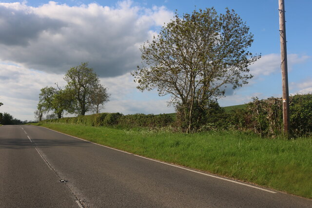
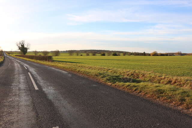
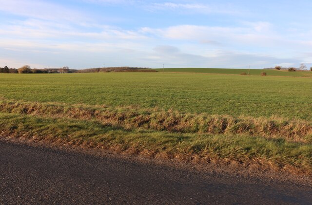
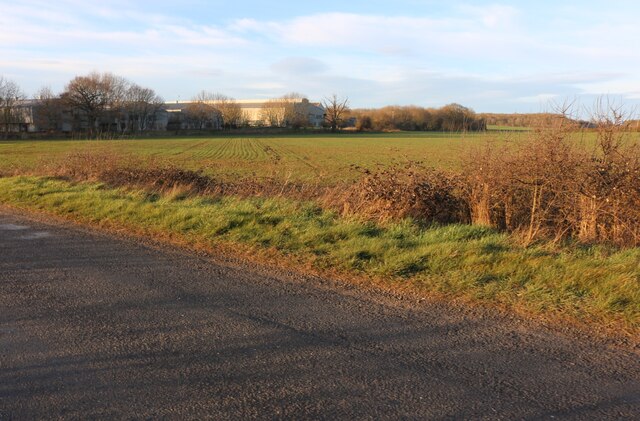
Honeyhill Wood, located in Huntingdonshire, is a picturesque woodland area that spans over a considerable area of land. The wood is known for its dense canopy of trees, which primarily consists of oak, beech, and ash trees. These towering trees provide a serene and tranquil environment, making it an ideal destination for nature enthusiasts and hikers alike.
The woodland floor of Honeyhill Wood is covered in a thick layer of moss, creating a soft and cushion-like surface. This, combined with the intermittent sunlight that filters through the canopy, creates a magical and ethereal atmosphere. Visitors can expect to stumble upon an array of wildflowers, such as bluebells, primroses, and foxgloves, which add bursts of vibrant colors to the otherwise green landscape.
The wood is also home to a diverse range of wildlife. Squirrels can be spotted darting between the trees, while birdwatchers may catch a glimpse of green woodpeckers, jays, and various species of songbirds. Deer are known to roam the wood, offering a rare and majestic sight for lucky visitors.
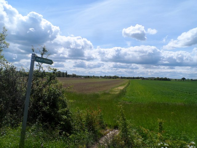
Honeyhill Wood features several well-maintained trails, allowing visitors to explore the area at their own pace. The paths wind through the wood, offering beautiful vistas and opportunities for peaceful contemplation. The wood is managed by a local conservation group, ensuring the preservation of its natural beauty for generations to come.
In conclusion, Honeyhill Wood is a stunning woodland area in Huntingdonshire, offering a haven of tranquility and natural beauty. It is the perfect destination for those seeking to immerse themselves in nature and escape the hustle and bustle of everyday life.
If you have any feedback on the listing, please let us know in the comments section below.
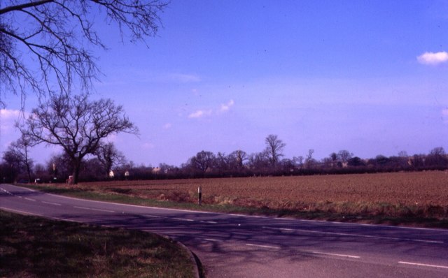
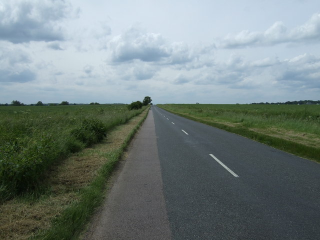
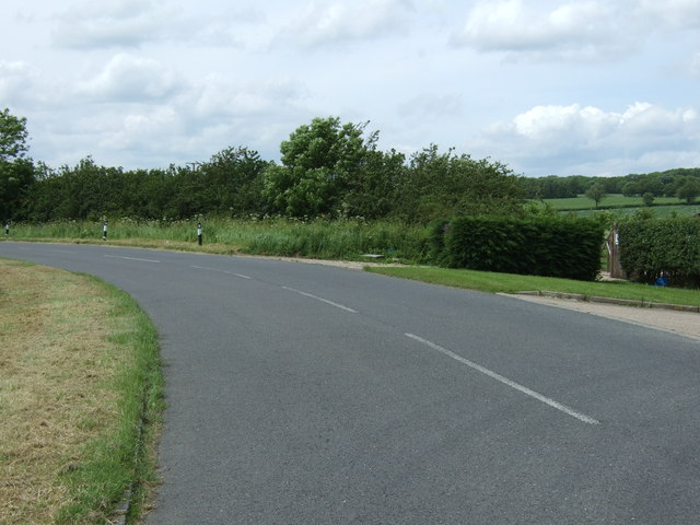
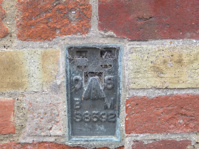
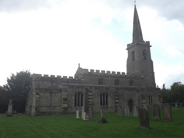
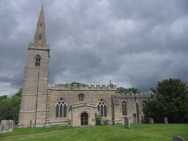
Honeyhill Wood Images
Images are sourced within 2km of 52.296181/-0.41972514 or Grid Reference TL0767. Thanks to Geograph Open Source API. All images are credited.


Honeyhill Wood is located at Grid Ref: TL0767 (Lat: 52.296181, Lng: -0.41972514)
Administrative County: Cambridgeshire
District: Huntingdonshire
Police Authority: Cambridgeshire
What 3 Words
///warthog.agreed.press. Near Pertenhall, Bedfordshire
Nearby Locations
Related Wikis

Swineshead Wood
Swineshead Wood is a 21.6-hectare (53-acre) biological Site of Special Scientific Interest in Swineshead in Bedfordshire, England. == Overview == It is...

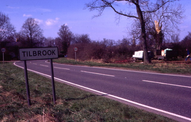
Tilbrook
Tilbrook is a village and civil parish in Cambridgeshire, England. Tilbrook lies approximately 10 miles (16 km) west of Huntingdon, near Covington. Tilbrook...

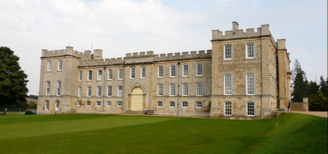
Kimbolton Castle
Kimbolton Castle is a country house in Kimbolton, Cambridgeshire, England. It was the final home of King Henry VIII's first wife, Catherine of Aragon....
Kimbolton School
Kimbolton School is a British HMC co-educational private boarding and day school in the village of Kimbolton, Cambridgeshire, England. There are 1000...

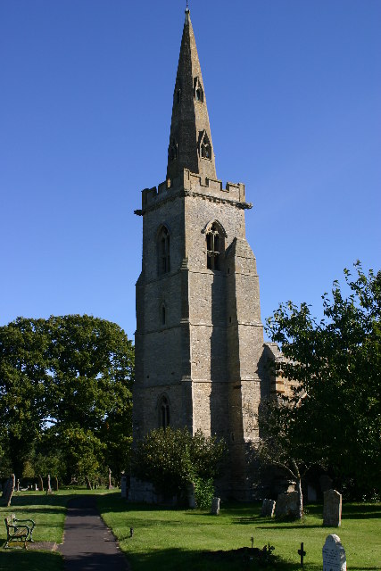
Church of St Peter, Pertenhall
Church of St Peter is a Grade I listed church in Pertenhall, Bedfordshire, England. It became a listed building on 13 July 1964. == See also == Grade...

Lower Dean
Lower Dean is a village located in the Borough of Bedford in Bedfordshire, England. The village forms part of the Dean and Shelton civil parish (where...

Church of St Nicholas, Swineshead, Bedfordshire
Church of St Nicholas is a Grade I listed church in Swineshead, Bedfordshire, England. It became a listed building on 13 July 1964.It is a 14th-century...

Kimbolton, Cambridgeshire
Kimbolton is a town and civil parish in the Huntingdonshire district of Cambridgeshire, England. Kimbolton is about 9 miles (14 km) west of Huntingdon...
Nearby Amenities
Located within 500m of 52.296181,-0.41972514Have you been to Honeyhill Wood?
Leave your review of Honeyhill Wood below (or comments, questions and feedback).