Greatford Wood

Wood, Forest in Lincolnshire South Kesteven

England

Greatford Wood

Carvings, Greatford Some of the numerous eccentric carvings scattered around the village. They are by Major Fitzilliam of Greatford Hall and date from the 1930s - see other pics in the square.
Carvings, Greatford Credit: Stephen Richards

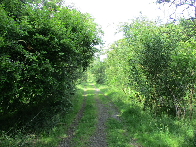
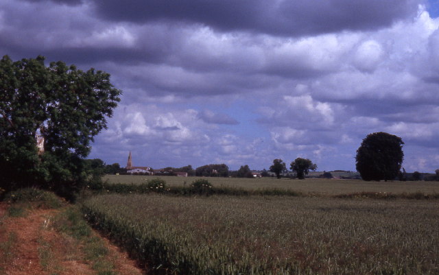
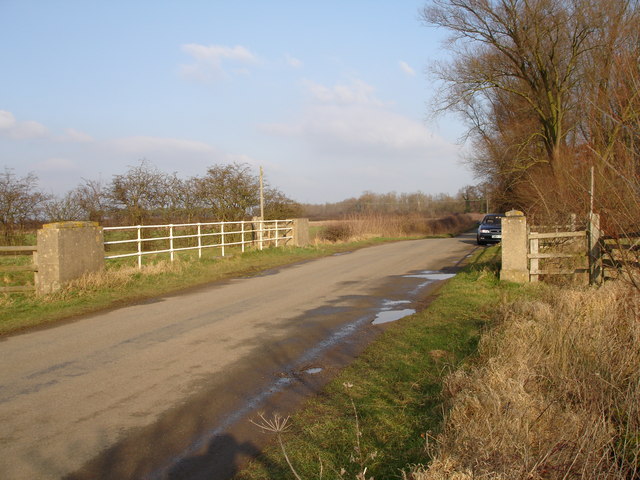
Greatford Wood is a beautiful forest located in Lincolnshire, England. Covering an area of approximately 150 acres, it is a well-preserved and diverse woodland that offers a tranquil escape for nature enthusiasts and hikers alike.

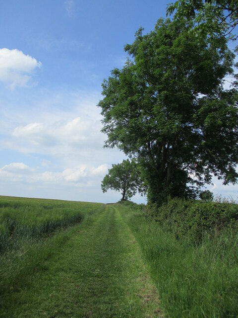
The wood is primarily composed of deciduous trees such as oak, ash, and birch, which create a lush canopy that provides shade and shelter for a wide variety of flora and fauna. The forest floor is adorned with an array of wildflowers, including bluebells, primroses, and foxgloves, adding bursts of color to the serene landscape.

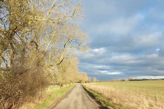
The wood is crisscrossed by a network of well-maintained footpaths, allowing visitors to explore its depths and discover its hidden gems. These paths lead to small clearings and glades, where one can find benches and picnic areas, perfect for taking a moment to immerse oneself in the peaceful ambiance of the forest.

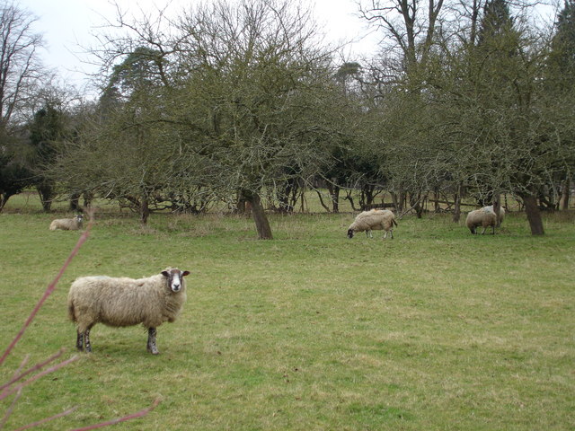
Wildlife thrives in Greatford Wood, with numerous species making it their home. Birdwatchers will delight in spotting various bird species, including woodpeckers, owls, and finches. The wood is also home to mammals such as foxes, badgers, and deer, which can occasionally be spotted roaming through the trees.

Greatford Wood is managed by a local conservation organization, ensuring its preservation for future generations to enjoy. Educational events and guided walks are organized regularly, providing visitors with the opportunity to learn more about the woodland ecosystem and the importance of conservation.

Overall, Greatford Wood is a captivating natural treasure that offers a peaceful retreat in the heart of Lincolnshire, inviting visitors to connect with nature and embrace the serenity of the forest.

If you have any feedback on the listing, please let us know in the comments section below.

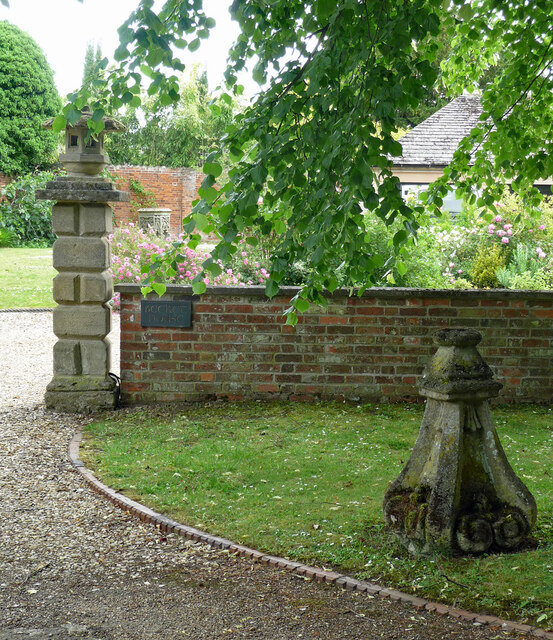
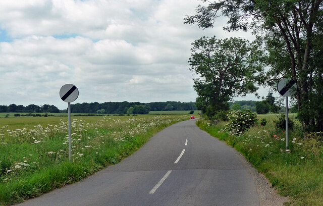
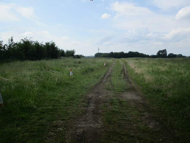
Greatford Wood Images

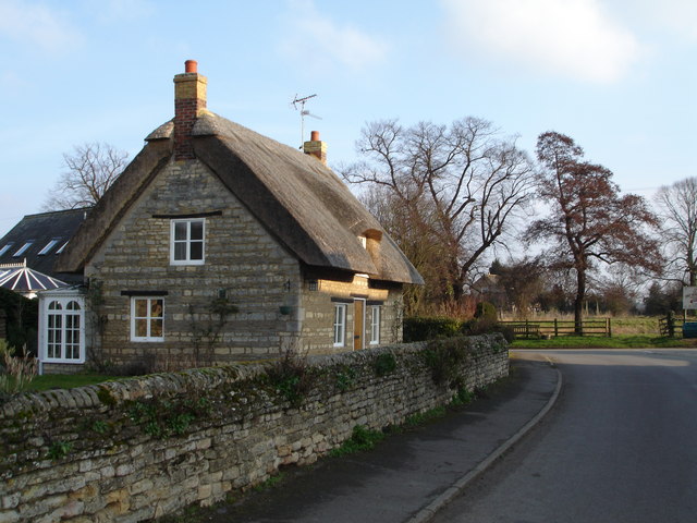
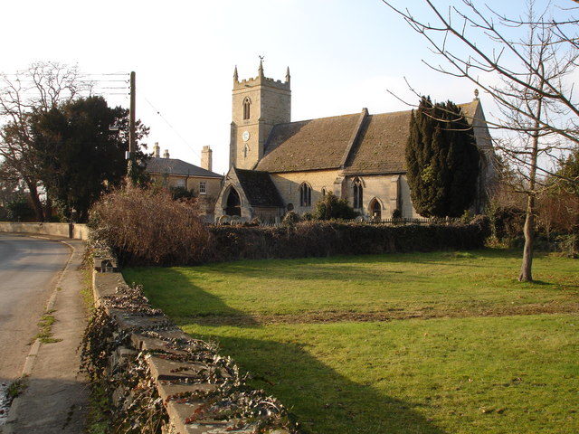
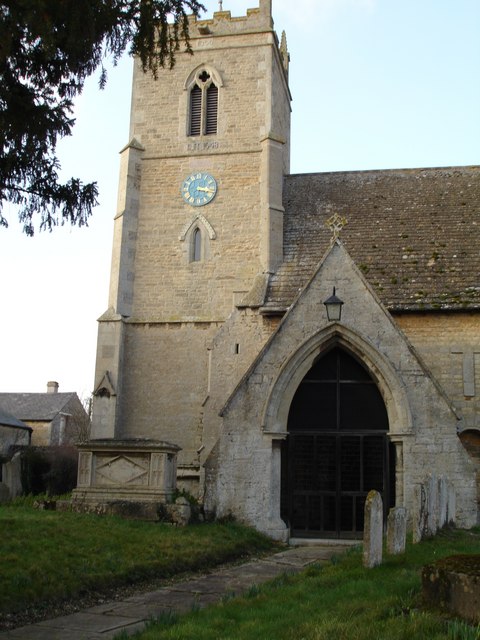
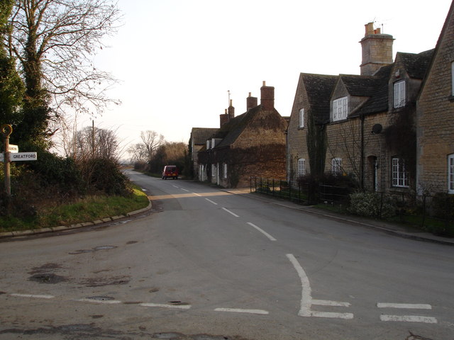
Images are sourced within 2km of 52.688171/-0.40886549 or Grid Reference TF0711. Thanks to Geograph Open Source API. All images are credited.

Carvings, Greatford Some of the numerous eccentric carvings scattered around the village. They are by Major Fitzilliam of Greatford Hall and date from the 1930s - see other pics in the square.
Carvings, Greatford
Some of the numerous eccentric carvings scattered around the village. They are by Major Fitzilliam of Greatford Hall and date from the 1930s - see other pics in the square.
Country road, Greatford Heading north-west out of the village to the open road.
Country road, Greatford
Heading north-west out of the village to the open road.
Track to Little Maidens
Bridleway towards Carlby
Footpath towards Braceborough
The Macmillan Way entering Shillingthorpe Park The avenue originally led to Shillingthorpe Hall, built in 1796 for Dr John Willis, physician to King George III (as in 'The Madness of King George'). It was demolished around 1960 <span class="nowrap"><a title="https://www.slha.org.uk/photogallery/?thislocation=Greatford" rel="nofollow ugc noopener" href="https://www.slha.org.uk/photogallery/?thislocation=Greatford">Link</a><img style="margin-left:2px;" alt="External link" title="External link - shift click to open in new window" src="https://s1.geograph.org.uk/img/external.png" width="10" height="10"/></span>
The Macmillan Way entering Shillingthorpe Park
The avenue originally led to Shillingthorpe Hall, built in 1796 for Dr John Willis, physician to King George III (as in 'The Madness of King George'). It was demolished around 1960 LinkExternal link
Passing Greatford Wood on the way to Greatford
Field path near Braceborough
Braceborough village Hall Originally the village school
Braceborough village Hall
Originally the village school
Thatched Cottage in the centre of Barholm Village Barholm is near Greatford and Stamford.
Thatched Cottage in the centre of Barholm Village
Barholm is near Greatford and Stamford.
Church at Barholm Located near the junction with the road to Tallington
Church at Barholm
Located near the junction with the road to Tallington
Church Tower at Barholm Barholm is near to Greatford and Stamford
Church Tower at Barholm
Barholm is near to Greatford and Stamford
Barholm village at the junction of the road to Tallington Lakes Barholm is near to Gratford and Stamford
Barholm village at the junction of the road to Tallington Lakes
Barholm is near to Gratford and Stamford
Sheep grazing in the field at the rear of The Hare and Hounds, Greatford
The hare and Hounds pub in Greatford
Old stone cross on the opposite side of the road to the Hare and Hounds, Greatford
An entrance to Greatford Hall
Show me another place!

Greatford Wood is located at Grid Ref: TF0711 (Lat: 52.688171, Lng: -0.40886549)

Administrative County: Lincolnshire

District: South Kesteven

Police Authority: Lincolnshire

What 3 Words

///clapper.diets.round. Near Essendine, Rutland

Related Wikis

Greatford

Greatford is a village and civil parish in the South Kesteven district of Lincolnshire, England. It is situated 2 miles (3 km) west from the A15, 4.5 miles...

Braceborough

Braceborough is a village in the civil parish of Braceborough and Wilsthorpe, in the South Kesteven district of Lincolnshire, England. It is situated off...

Barholm and Stowe

Barholm and Stowe is a civil parish in the South Kesteven district of Lincolnshire, England. According to the 2001 census it had a population of 87 in...

Uffington Rural District

Uffington was a rural district in Lincolnshire, Parts of Kesteven from 1894 to 1931. It was created in 1894 from that part of the Stamford rural sanitary...

Nearby Amenities

Located within 500m of 52.688171,-0.40886549
Note: End of Public Highway
Lat/Long: 52.6847208/-0.4101046
Shillingthorpe Park
Place: locality
Source: Bing
Lat/Long: 52.6901083/-0.4153514
West Field
Place: locality
Source: Bing
Lat/Long: 52.6866024/-0.4020754
The data included in this document is from www.openstreetmap.org. The data is made available under ODbL.

Have you been to Greatford Wood?

Leave your review of Greatford Wood below (or comments, questions and feedback).