Beech Copse
Wood, Forest in Sussex Arun
England
Beech Copse

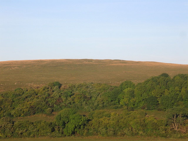
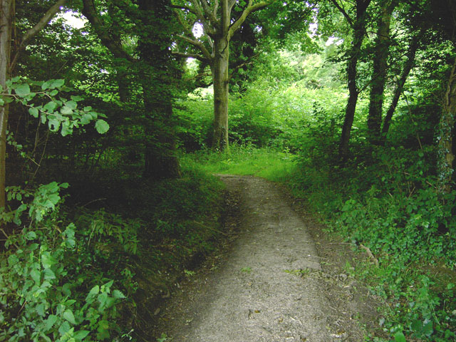
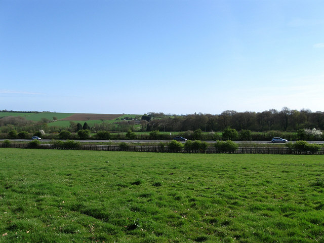
Beech Copse is a picturesque wood located in Sussex, England. Covering an area of approximately 500 acres, it is known for its dense, lush forest and abundance of beech trees. The copse is situated in the heart of the South Downs National Park, offering visitors a tranquil and serene escape from the surrounding urban areas.
The forest is predominantly made up of mature beech trees, which provide a dense canopy of foliage that filters the sunlight, creating a cool and shaded environment below. The forest floor is covered in a thick carpet of leaf litter, fallen branches, and moss, creating a rich habitat for various flora and fauna.
Beech Copse is home to a diverse range of wildlife, including woodland birds such as woodpeckers, owls, and warblers. Mammals such as deer, foxes, and badgers also inhabit the area, taking advantage of the copse's abundant food sources and shelter.
The wood is crisscrossed by a network of well-maintained footpaths, allowing visitors to explore the area on foot. These paths meander through the forest, revealing stunning views of the surrounding countryside and providing opportunities to observe the copse's natural beauty up close.
Beech Copse is a popular destination for nature enthusiasts, hikers, and photographers who come to capture the breathtaking scenery throughout the changing seasons. The vibrant autumn colors of the beech trees, the fresh green foliage of spring, and the peaceful stillness of winter all contribute to the copse's appeal.
Overall, Beech Copse in Sussex offers visitors a chance to immerse themselves in a tranquil woodland setting, providing a haven for wildlife and a place of natural beauty for all to enjoy.
If you have any feedback on the listing, please let us know in the comments section below.
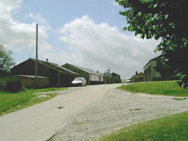
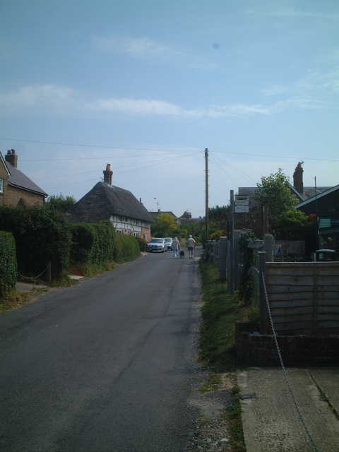
Beech Copse Images
Images are sourced within 2km of 50.865472/-0.47232462 or Grid Reference TQ0708. Thanks to Geograph Open Source API. All images are credited.


Beech Copse is located at Grid Ref: TQ0708 (Lat: 50.865472, Lng: -0.47232462)
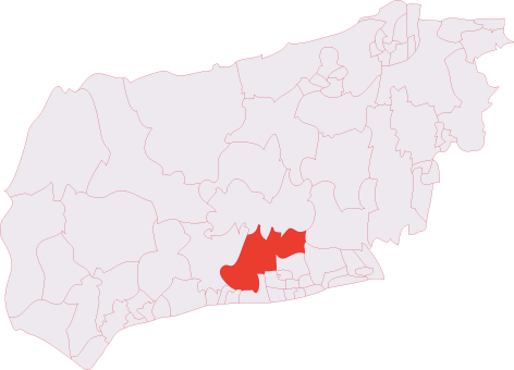
Administrative County: West Sussex
District: Arun
Police Authority: Sussex
What 3 Words
///twig.caked.flattery. Near Findon, West Sussex
Nearby Locations
Related Wikis
Harrow Hill, West Sussex
Harrow Hill is an archaeological site in West Sussex, England. It is on the South Downs about 3 miles (5 km) north of the village of Angmering and 5 miles...

Worthing Rural District
Worthing Rural District was a rural district in West Sussex, England from 1933 to 1974. It comprised an area to the north, west and east, but did not...
Blackpatch
Blackpatch is an archaeological site in West Sussex, England, about 2 miles (3.2 km) west of the village of Findon and about 3 miles (4.8 km) north-west...

Patching
Patching is a small village and civil parish that lies amid the fields and woods of the southern slopes of the South Downs in the National Park in the...
Clapham Wood
Clapham Wood is a woodland area in Clapham, West Sussex, England, which Fortean authors and paranormal enthusiasts believe to be a locus of UFO sightings...
Clapham, West Sussex
Clapham is a rural village and civil parish in the Arun District of West Sussex, England. It lies on varying downslopes and escarpment of the South Downs...
Angmering & Findon (electoral division)
Angmering & Findon is an electoral division of West Sussex in the United Kingdom and returns one member to sit on West Sussex County Council. The current...
Phun City
Phun City was a rock festival held at Ecclesden Common near Worthing, England, from 24 July to 26 July 1970. Excluding the one-day free concerts in London...
Nearby Amenities
Located within 500m of 50.865472,-0.47232462Have you been to Beech Copse?
Leave your review of Beech Copse below (or comments, questions and feedback).