Edial

Settlement in Staffordshire Lichfield

England

Edial

Old Milestone, A461 Modern placement is on the SE side of the road on the grass verge. Installed between 1947 and 1956 according to maps.

Inscription: Lichfield / Parish // Walsall 8 // Lichfield 1½

Milestone Society ID: ST_WLLF08
Old Milestone, A461 Credit: Ivan Clare

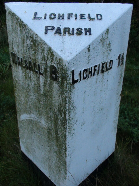
Edial is a small village located in the county of Staffordshire, England. Situated approximately 8 miles north of Lichfield, it is nestled in a picturesque rural setting. The village is part of the civil parish of Burntwood and falls within the Lichfield District Council area.

With a population of around 500 residents, Edial retains a tight-knit community atmosphere. The village is primarily residential, characterized by a mix of traditional cottages and modern housing developments. The surrounding countryside provides a tranquil environment, offering residents and visitors a peaceful retreat from the bustling city life.

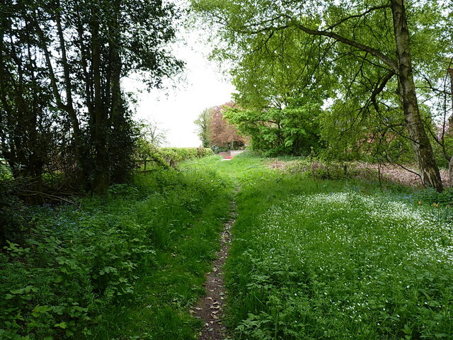
Edial benefits from its close proximity to the Cannock Chase Area of Outstanding Natural Beauty, a designated national park known for its diverse wildlife and stunning landscapes. This makes it an ideal location for outdoor enthusiasts, offering opportunities for walking, cycling, and horse riding.

The village is also home to Edial Hall, a historic country house dating back to the 18th century. The Grade II listed building adds to the charm and character of the area. Nearby amenities include a local pub, a primary school, and various shops and services located in the neighboring towns.

Transport links in Edial are well-connected, with regular bus services to surrounding areas and easy access to major road networks, including the A5 and M6 motorway.

Overall, Edial is a quaint and peaceful village, offering a rural lifestyle while still providing convenient access to amenities and natural beauty spots.

If you have any feedback on the listing, please let us know in the comments section below.
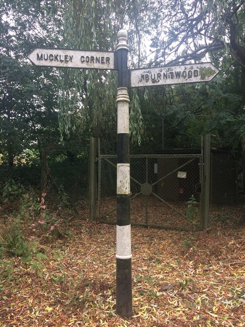
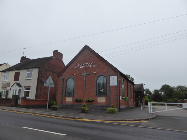
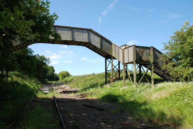
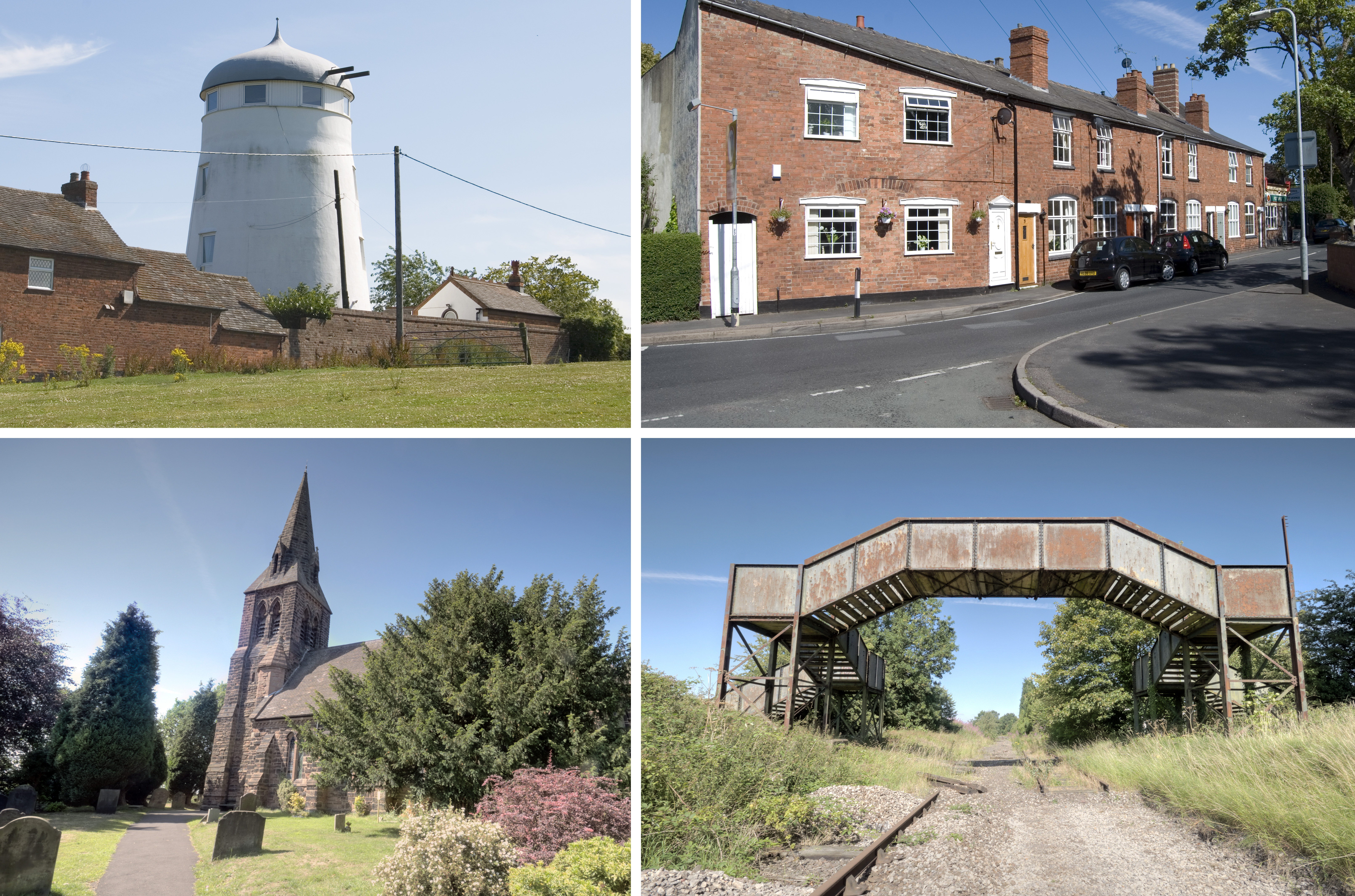
Edial Images

Images are sourced within 2km of 52.675566/-1.888894 or Grid Reference SK0708. Thanks to Geograph Open Source API. All images are credited.

Old Milestone, A461 Modern placement is on the SE side of the road on the grass verge. Installed between 1947 and 1956 according to maps.

Inscription: Lichfield / Parish // Walsall 8 // Lichfield 1½

Milestone Society ID: ST_WLLF08
Old Milestone, A461
Modern placement is on the SE side of the road on the grass verge. Installed between 1947 and 1956 according to maps. Inscription: Lichfield / Parish // Walsall 8 // Lichfield 1½ Milestone Society ID: ST_WLLF08
Track towards Peolsford House Part of a bridleway/footpath route from Pipehill to Pipe Hall - the route changes designation at an administrative boundary between the two.
Track towards Peolsford House
Part of a bridleway/footpath route from Pipehill to Pipe Hall - the route changes designation at an administrative boundary between the two.
Significant work to be done Some rebuilding work underway on a cottage beside the A461 at Pipe Marsh
Significant work to be done
Some rebuilding work underway on a cottage beside the A461 at Pipe Marsh
Old Direction Sign - Signpost by St Matthew's Road, Pawn finial - 2 Worboys arms; by the UC road, in parish of Burntwood (Lichfield District), junction of Coulter Lane with St Matthew's Road.

To be surveyed

Milestone Society National ID: ST_SK0709A
Old Direction Sign - Signpost by St Matthew's Road,
Pawn finial - 2 Worboys arms; by the UC road, in parish of Burntwood (Lichfield District), junction of Coulter Lane with St Matthew's Road. To be surveyed Milestone Society National ID: ST_SK0709A
Old Milepost by the A461, Walsall Road, Hammerwich parish Cast iron post by the A461, in parish of HAMMERWICH (LICHFIELD District), near Coppice Lane junction, South of Pipe Place, on the verge, on Northwest side of road. Cochrane iron casting, erected by the County Council in the 20th century. 

Inscription reads:-
: LICHFIELD 2½ : : HAMMERWICH / PARISH : : WALSALL / 7 :
Maker:-
: Cochrane & Co, Dudley. :

Grade II listed.
List Entry Number: 1038853 <span class="nowrap"><a title="https://historicengland.org.uk/listing/the-list/list-entry/1038853" rel="nofollow ugc noopener" href="https://historicengland.org.uk/listing/the-list/list-entry/1038853">Link</a><img style="margin-left:2px;" alt="External link" title="External link - shift click to open in new window" src="https://s1.geograph.org.uk/img/external.png" width="10" height="10"/></span>

Milestone Society National ID: ST_WLLF07.
Old Milepost by the A461, Walsall Road, Hammerwich parish
Cast iron post by the A461, in parish of HAMMERWICH (LICHFIELD District), near Coppice Lane junction, South of Pipe Place, on the verge, on Northwest side of road. Cochrane iron casting, erected by the County Council in the 20th century. Inscription reads:- : LICHFIELD 2½ : : HAMMERWICH / PARISH : : WALSALL / 7 : Maker:- : Cochrane & Co, Dudley. : Grade II listed. List Entry Number: 1038853 LinkExternal link Milestone Society National ID: ST_WLLF07.
Old Direction Sign - Signpost in Burntwood parish Pawn finial - 3 arms; by the UC road, in parish of Burntwood (Lichfield District), junction of Hospital Road with Norton Lane and New Road, on grass triangle.

To be surveyed

Milestone Society National ID: ST_SK0508
Old Direction Sign - Signpost in Burntwood parish
Pawn finial - 3 arms; by the UC road, in parish of Burntwood (Lichfield District), junction of Hospital Road with Norton Lane and New Road, on grass triangle. To be surveyed Milestone Society National ID: ST_SK0508
Old Direction Sign - Signpost by Hammerwich Lane, Hammerwich parish Pawn finial - 3 arms, 1 missing; by the UC road, in parish of Hammerwich (Lichfield District), Hammerwich Place Farm, junction with Hall Lane and Lion's Den, on grass triangle next to pedestal letter box.

Staffordshire HER.
HER Number: 56066 <span class="nowrap"><a title="https://www.heritagegateway.org.uk/Gateway/Results_Single.aspx?uid=MST20184&resourceID=1010" rel="nofollow ugc noopener" href="https://www.heritagegateway.org.uk/Gateway/Results_Single.aspx?uid=MST20184&resourceID=1010">Link</a><img style="margin-left:2px;" alt="External link" title="External link - shift click to open in new window" src="https://s1.geograph.org.uk/img/external.png" width="10" height="10"/></span>

To be surveyed

Milestone Society National ID: ST_SK0707
Old Direction Sign - Signpost by Hammerwich Lane, Hammerwich parish
Pawn finial - 3 arms, 1 missing; by the UC road, in parish of Hammerwich (Lichfield District), Hammerwich Place Farm, junction with Hall Lane and Lion's Den, on grass triangle next to pedestal letter box. Staffordshire HER. HER Number: 56066 LinkExternal link To be surveyed Milestone Society National ID: ST_SK0707
Old Direction Sign - Signpost by Hall Lane, Hammerwich Pawn finial - 2 arms; by the UC road, in parish of Hammerwich (Lichfield District), junction of Hall Lane with Church Lane.

To be surveyed

Milestone Society National ID: ST_SK0607
Old Direction Sign - Signpost by Hall Lane, Hammerwich
Pawn finial - 2 arms; by the UC road, in parish of Hammerwich (Lichfield District), junction of Hall Lane with Church Lane. To be surveyed Milestone Society National ID: ST_SK0607
Direction Sign - Signpost by the A5190, Lichfield Road, Burntwood Lost finial - 2 arms; by the A5190, in parish of Burntwood (Lichfield District), junction of Lichfield Road with Stockley Lane and Farewell Lane, on grass strip between pavement and big hedge.

To be surveyed

Milestone Society National ID: ST_SK0708
Direction Sign - Signpost by the A5190, Lichfield Road, Burntwood
Lost finial - 2 arms; by the A5190, in parish of Burntwood (Lichfield District), junction of Lichfield Road with Stockley Lane and Farewell Lane, on grass strip between pavement and big hedge. To be surveyed Milestone Society National ID: ST_SK0708
Burntwood Cemetery: mid August 2020
Christ Church, Burntwood: mid August 2020
Burntwood Methodist Church: mid August 2020 Methodism began as a revival movement within the Church of England in the 18th century. Lead by the brothers John and Charles Wesley, it taught a methodical interpretation of Protestantism that stressed salvation was available for all. It separated from the established church in the 1790s but within 30 years it had itself split into Primitive and Wesleyan branches. Gradually these two forms converged until a formal reunification was achieved in 1932. Today it has about 80 million adherents worldwide.
Burntwood Methodist Church: mid August 2020
Methodism began as a revival movement within the Church of England in the 18th century. Lead by the brothers John and Charles Wesley, it taught a methodical interpretation of Protestantism that stressed salvation was available for all. It separated from the established church in the 1790s but within 30 years it had itself split into Primitive and Wesleyan branches. Gradually these two forms converged until a formal reunification was achieved in 1932. Today it has about 80 million adherents worldwide.
Looking from Tudor Road across Cannock Road towards Burntwood Park
Village Pond With Derelict Duck Pen.
Steps To Footbridge of  Hammerwich Station.
Steps To Footbridge of Hammerwich Station.
Hammerwich Station, where is it? Footbridge over the derelict Lichfield to Walsall Railway Line. The Hammerwich Station stood on this spot, and the bridge was used to cross over the track.
Hammerwich Station, where is it?
Footbridge over the derelict Lichfield to Walsall Railway Line. The Hammerwich Station stood on this spot, and the bridge was used to cross over the track.
St. John The Baptist, Hammerwich. The group in the foreground, were having a break from tidying the Church Yard.
St. John The Baptist, Hammerwich.
The group in the foreground, were having a break from tidying the Church Yard.
The Star Public House, Burntwood.
Show me another place!

Edial is located at Grid Ref: SK0708 (Lat: 52.675566, Lng: -1.888894)

Administrative County: Staffordshire

District: Lichfield

Police Authority: Staffordshire

What 3 Words

///stays.crunch.soil. Near Chasetown, Staffordshire

Nearby Locations

Edial

Related Wikis

Edial Hall School

Edial Hall School was a school established in 1735 by Samuel Johnson at Edial, near Lichfield. Here, Johnson taught Latin and Greek to young gentlemen...

Prince's Park, Burntwood

Prince's Park is located in the Staffordshire town of Burntwood and is featured in the Guinness Book of Records for being the smallest park in the United...

St Matthew's Hospital

St Matthew's Hospital was a mental health facility on Farewell Lane, Burntwood, Staffordshire, England. == History == The hospital, which was designed...
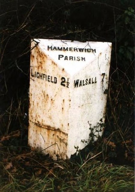
Hammerwich

Hammerwich is a small village and civil parish in the Lichfield District, in Staffordshire, England. It is southeast of Burntwood and northeast of Brownhills...

Related Videos

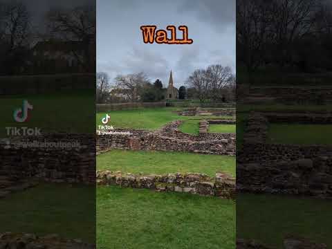
Walking with friends (1)

Dave the Dashing Deerhound. First time out with a new walking group.
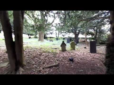
Nearby Amenities

Located within 500m of 52.675566,-1.888894
Bus Stop
Edial House
Bus: yes
Naptan AtcoCode: 3800C419201
Naptan Bearing: W
Naptan CommonName: Edial House
Naptan Indicator: Adj
Naptan Landmark: Edial House
Naptan Street: Lichfield Road
Naptan Verified: no
Public Transport: platform
Source: naptan_import
Lat/Long: 52.6751696/-1.8916185
Bus Stop
Edial House
Bus: yes
Naptan AtcoCode: 3800C419202
Naptan Bearing: E
Naptan CommonName: Edial House
Naptan Indicator: Opp
Naptan Landmark: Edial House
Naptan Street: Lichfield Road
Naptan Verified: no
Public Transport: platform
Source: naptan_import
Lat/Long: 52.675223/-1.891012
Power: pole
Source: Bing
Lat/Long: 52.672378/-1.8877628
Power: pole
Source: Bing
Lat/Long: 52.6727049/-1.8855366
Power: pole
Source: Bing
Lat/Long: 52.67304/-1.8832514
The data included in this document is from www.openstreetmap.org. The data is made available under ODbL.

Have you been to Edial?

Leave your review of Edial below (or comments, questions and feedback).