Brickyard Plantation
Wood, Forest in Lincolnshire North Kesteven
England
Brickyard Plantation
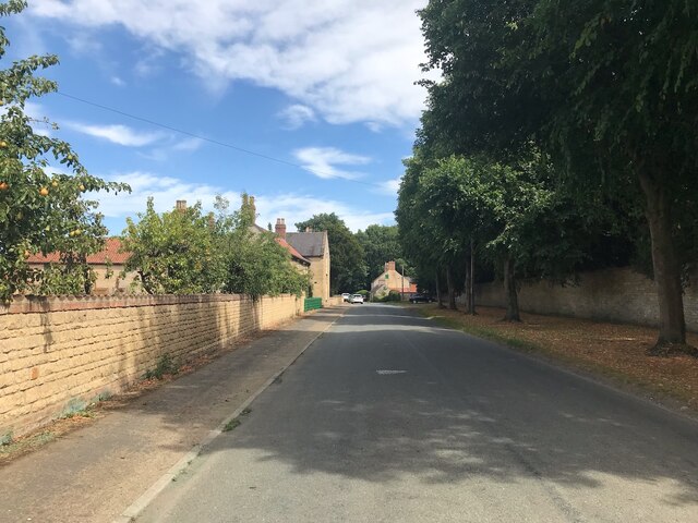
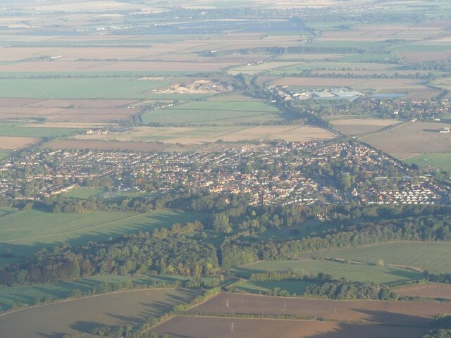
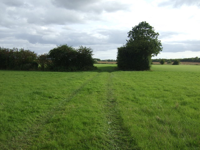
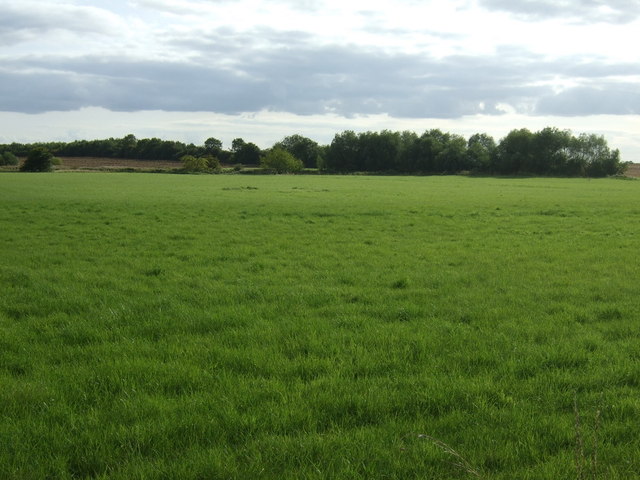
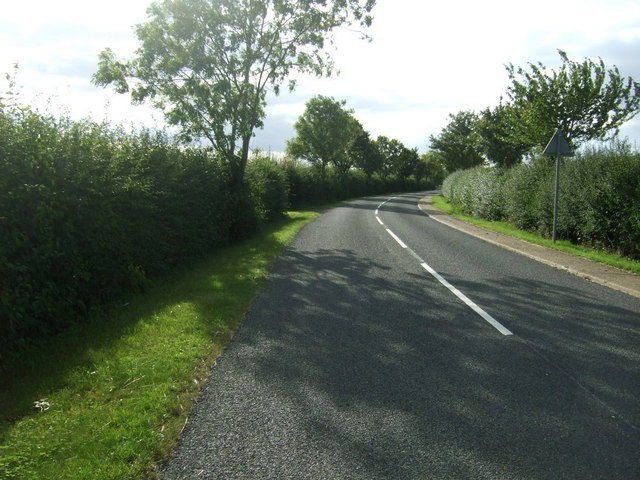
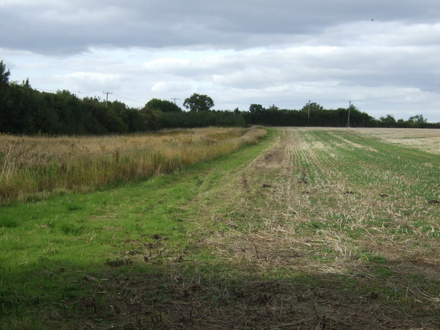
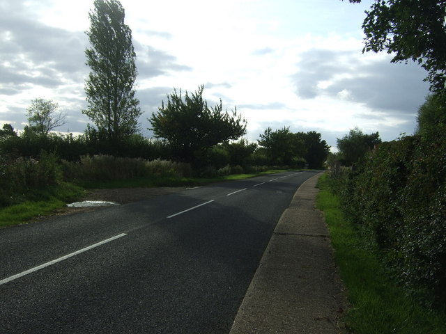
Brickyard Plantation, located in Lincolnshire, England, is a picturesque woodland area encompassing approximately 200 acres. The plantation is known for its dense forest, diverse wildlife, and historical significance.
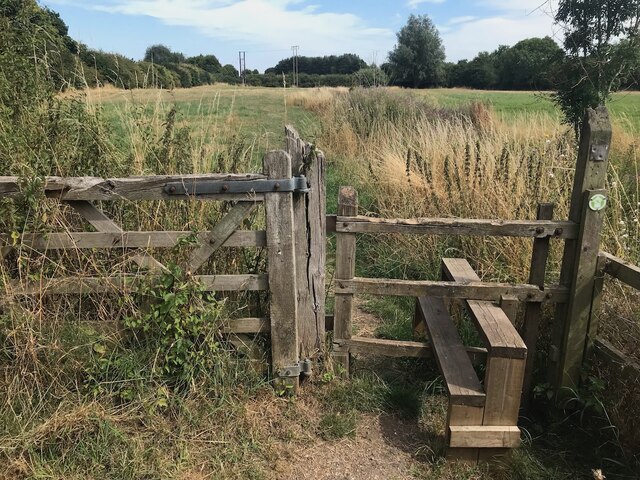
The woodland is primarily composed of mature oak and beech trees, providing a serene and tranquil environment for visitors. The trees create a dense canopy, filtering sunlight and creating a cool and shaded atmosphere. The forest floor is covered with a rich carpet of mosses, ferns, and wildflowers, adding to the area's natural beauty.
Brickyard Plantation has a rich history dating back several centuries. It was once an active brickyard, supplying bricks to the local area during the 19th century. The remnants of the brick kilns and other structures can still be seen today, serving as a reminder of the area's industrial past.
The plantation is also home to a diverse range of wildlife. The forest provides a habitat for various bird species, including woodpeckers, owls, and songbirds. Small mammals such as rabbits, squirrels, and foxes can also be spotted within the woodland. In addition, the plantation boasts a thriving population of butterflies, bees, and other insects, adding to the biodiversity of the area.
Brickyard Plantation is a popular destination for nature enthusiasts, hikers, and history buffs alike. Its well-maintained trails offer visitors the opportunity to explore the woodland and discover its hidden treasures. Whether one seeks a peaceful stroll, a glimpse into the past, or a chance to appreciate the wonders of nature, Brickyard Plantation is a must-visit location in Lincolnshire.
If you have any feedback on the listing, please let us know in the comments section below.
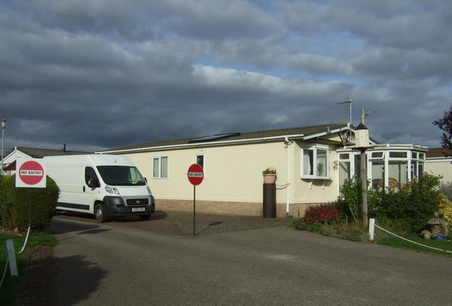
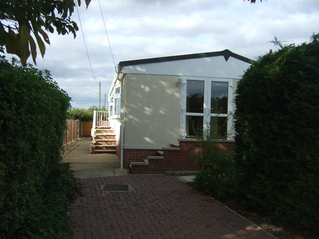
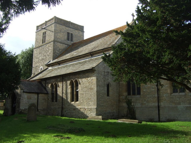
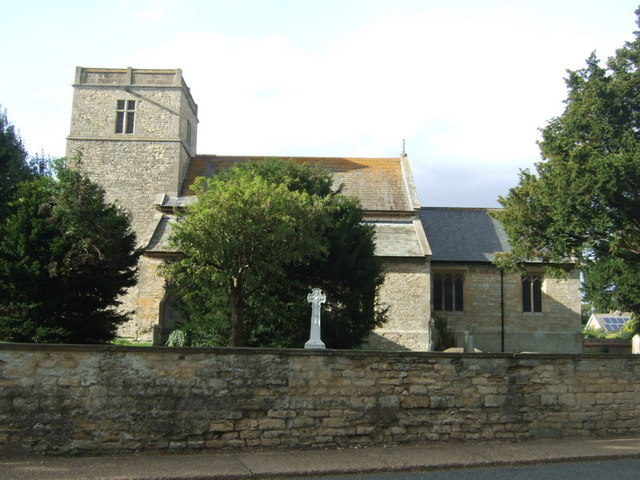
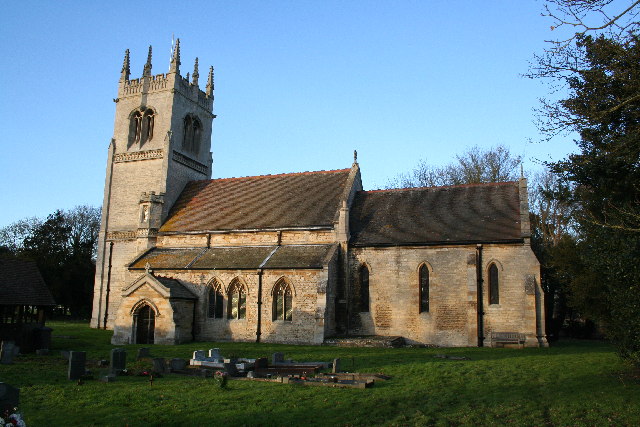
Brickyard Plantation Images
Images are sourced within 2km of 53.119384/-0.40314933 or Grid Reference TF0659. Thanks to Geograph Open Source API. All images are credited.
Brickyard Plantation is located at Grid Ref: TF0659 (Lat: 53.119384, Lng: -0.40314933)
Administrative County: Lincolnshire
District: North Kesteven
Police Authority: Lincolnshire
What 3 Words
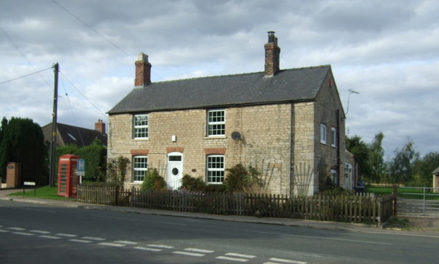
///debut.unionists.boards. Near Metheringham, Lincolnshire
Nearby Locations
Related Wikis
Blankney
Blankney is a village and civil parish in the North Kesteven district of Lincolnshire, England. The population of the civil parish at the 2011 census was...

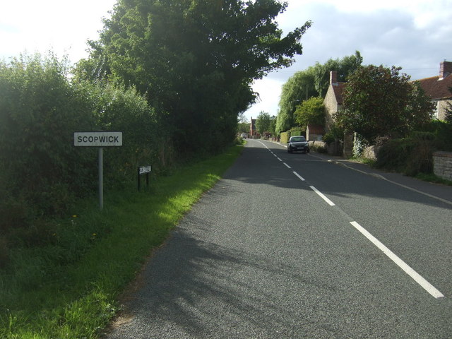
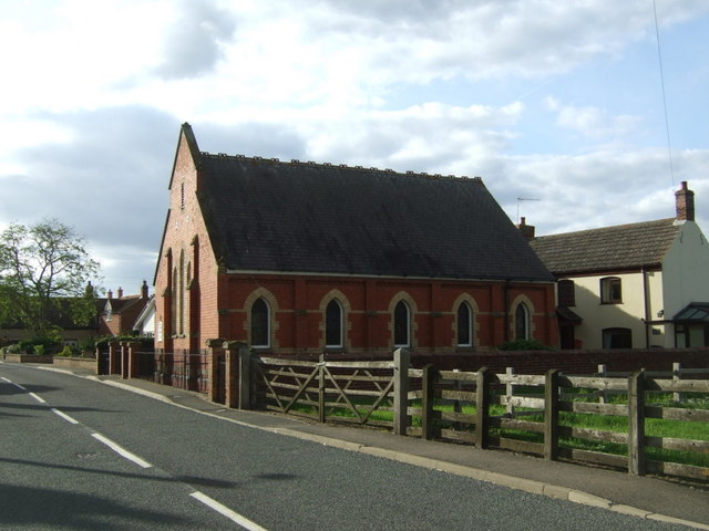
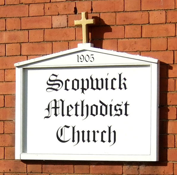
Scopwick
Scopwick is a small village and civil parish in the district of North Kesteven, Lincolnshire, England, situated 6 miles (9.7 km) south from Lincoln. The...
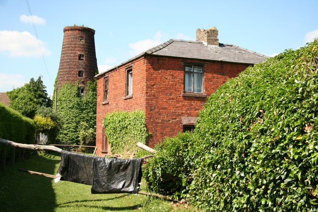
Metheringham Windmill
Metheringham Windmill, locally known as The Old Meg Flour Mill, was a six-storeyed, six-sailed, and tarred slender Lincolnshire type windmill with the...

Kirkby Green
Kirkby Green is a small village in the civil parish of Scopwick, in the North Kesteven district of Lincolnshire, England. The village lies east from Scopwick...

Metheringham
Metheringham is a village and civil parish in the North Kesteven district of Lincolnshire, England. The population of the civil parish at the 2011 census...

Metheringham railway station
Metheringham railway station serves the village of Metheringham in Lincolnshire, England. It lies on the Peterborough–Lincoln line. It is owned by Network...

Scopwick and Timberland railway station
Scopwick and Timberland railway station was a station in Scopwick, Lincolnshire, which was open between 1882 and 1955. == History == The railway line between...

Rowston
Rowston is a village and civil parish in the North Kesteven district of Lincolnshire, England, situated approximately 6 miles (10 km) north from the town...
Nearby Amenities
Located within 500m of 53.119384,-0.40314933Have you been to Brickyard Plantation?
Leave your review of Brickyard Plantation below (or comments, questions and feedback).