Mariner's Gorse
Wood, Forest in Huntingdonshire Huntingdonshire
England
Mariner's Gorse
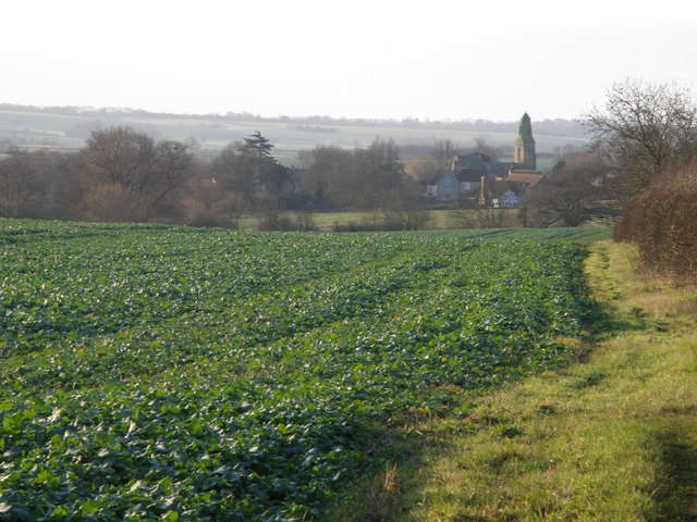
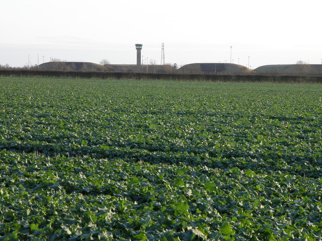
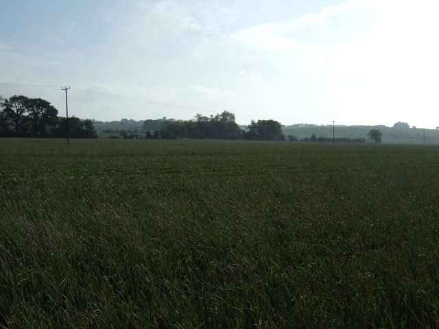
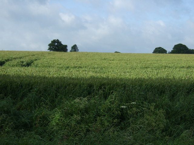
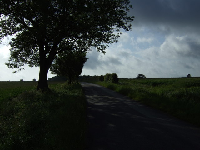
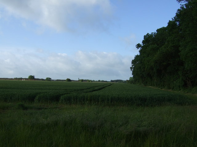
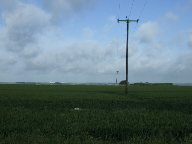
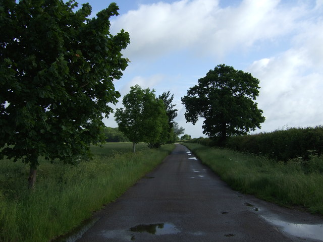
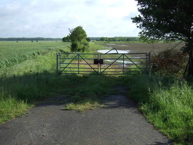
Mariner's Gorse is a vast woodland area located in Huntingdonshire, a picturesque county in the eastern region of England. Spread over several hectares, it is known for its dense forest cover, making it a haven for nature enthusiasts and outdoor adventure seekers alike.
The woodlands of Mariner's Gorse feature a diverse range of tree species, including oak, ash, birch, and beech, which create a lush and vibrant ecosystem. The forest floor is carpeted with a rich undergrowth of ferns, bluebells, and various wildflowers, adding a touch of color to the already breathtaking scenery.
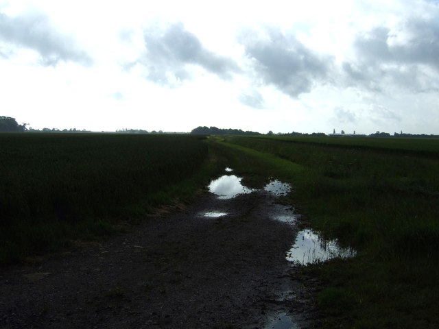
The woodlands are crisscrossed by well-maintained trails, providing visitors with an opportunity to explore the area on foot or by bike. These trails wind through the forest, offering glimpses of local wildlife such as deer, squirrels, and a variety of bird species. The peaceful atmosphere and tranquil surroundings make it an ideal spot for nature photography, birdwatching, or simply enjoying a leisurely stroll.
Mariner's Gorse is also home to a number of ancient trees, some of which are believed to be several hundred years old. These majestic giants stand tall and proud, bearing witness to the passing of time and the ever-changing landscape.
The woodlands have been carefully managed to preserve their natural beauty, with periodic thinning and replanting efforts ensuring the continued health and vitality of the forest. This commitment to conservation has made Mariner's Gorse not only a popular destination for outdoor enthusiasts but also an important habitat for a variety of plant and animal species.
If you have any feedback on the listing, please let us know in the comments section below.
Mariner's Gorse Images
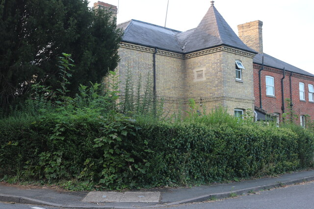
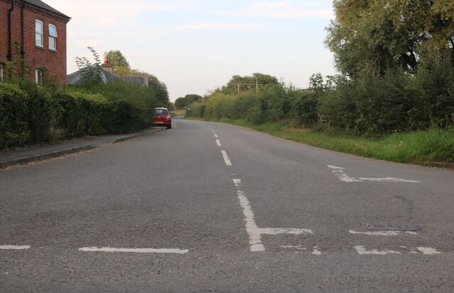
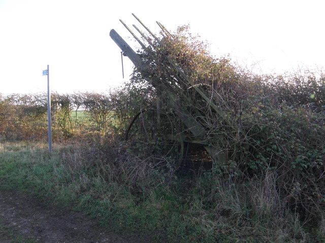
Images are sourced within 2km of 52.395405/-0.42973403 or Grid Reference TL0678. Thanks to Geograph Open Source API. All images are credited.


Mariner's Gorse is located at Grid Ref: TL0678 (Lat: 52.395405, Lng: -0.42973403)
Administrative County: Cambridgeshire
District: Huntingdonshire
Police Authority: Cambridgeshire
What 3 Words
///pheasants.jump.yappy. Near Thrapston, Northamptonshire
Nearby Locations
Related Wikis

Clopton, Northamptonshire
Clopton is a small village and civil parish located in North Northamptonshire, close to the Cambridgeshire border. The village stretches along the north...

RAF Molesworth
Royal Air Force Molesworth or more simply RAF Molesworth is a Royal Air Force station located near Molesworth, Cambridgeshire, England with a history dating...
Bythorn
Bythorn is a village and former civil parish, now in the parish of Bythorn and Keyston, in Cambridgeshire, England. Bythorn lies approximately 11 miles...

Bythorn and Keyston
Bythorn and Keyston is a civil parish in the Huntingdonshire district of Cambridgeshire, England. According to the 2001 census the parish had a population...
Nearby Amenities
Located within 500m of 52.395405,-0.42973403Have you been to Mariner's Gorse?
Leave your review of Mariner's Gorse below (or comments, questions and feedback).