Gunboro' Wood

Wood, Forest in Lincolnshire South Kesteven

England

Gunboro' Wood

Woodland Statue in Bourne Woods Bourne Woods is a mixed area of coniferous plantation and semi-natural broadleaf woodland with public access.  It contains various artworks such as the one depicted here, artist unknown. This particular statue was removed sometime around 2007.
Woodland Statue in Bourne Woods Credit: Tony Atkin

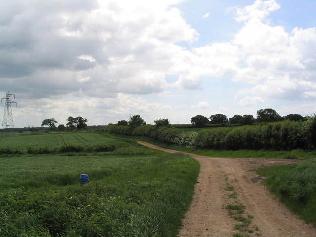
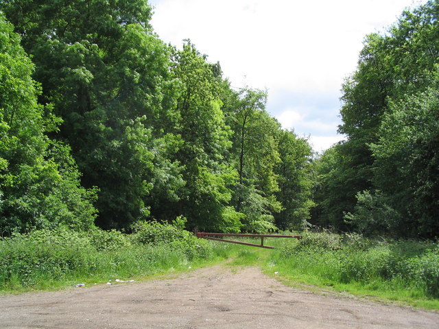
Gunby Wood is a picturesque forest located in Lincolnshire, England. Spread across an area of approximately 110 acres, it is a prominent natural landmark in the region. The wood is situated near the village of Gunby, hence its name.

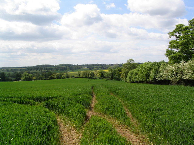
Gunby Wood showcases a diverse range of flora and fauna, making it a popular destination for nature enthusiasts and hikers. The woodland is primarily composed of broad-leaved trees, including oak, beech, and ash, which create a dense canopy overhead. The forest floor is adorned with a variety of wildflowers, adding to its natural beauty.

The wood is home to a multitude of wildlife species, including deer, rabbits, foxes, and various bird species. It serves as an important habitat for these creatures, providing them with shelter and sustenance. Birdwatchers flock to the area to catch glimpses of the woodpeckers, tits, and finches that populate the trees.

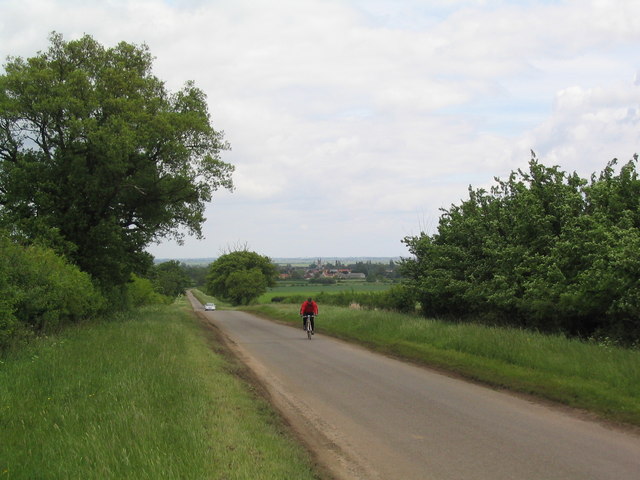
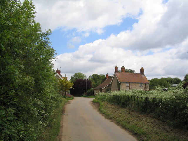
Gunby Wood offers several walking trails, allowing visitors to explore its serene surroundings. These paths wind through the forest, offering glimpses of its enchanting beauty at every turn. The wood also features a designated picnic area, providing a perfect spot for visitors to relax and enjoy the tranquility of nature.

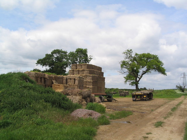
Managed by the Forestry Commission, Gunby Wood is well-preserved, ensuring its long-term sustainability. The forest is a vital component of the local ecosystem, contributing to the conservation of biodiversity in the area. Its accessibility and natural allure make it a cherished destination for both locals and tourists seeking solace in the midst of nature.

If you have any feedback on the listing, please let us know in the comments section below.

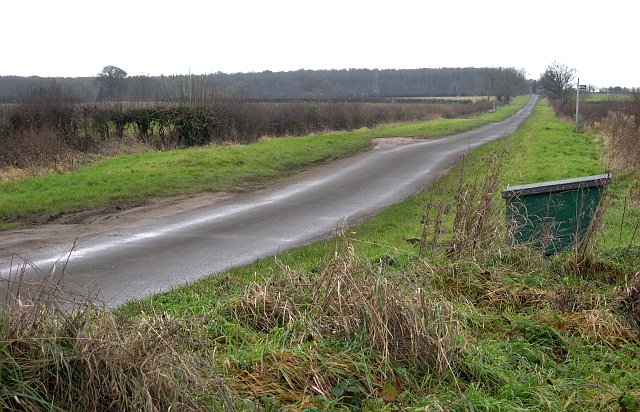
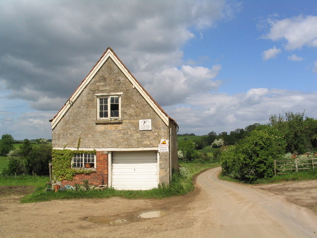
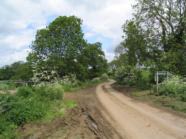
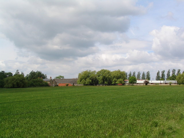
Gunboro' Wood Images

Images are sourced within 2km of 52.795812/-0.41747314 or Grid Reference TF0623. Thanks to Geograph Open Source API. All images are credited.

Woodland Statue in Bourne Woods Bourne Woods is a mixed area of coniferous plantation and semi-natural broadleaf woodland with public access.  It contains various artworks such as the one depicted here, artist unknown. This particular statue was removed sometime around 2007.
Woodland Statue in Bourne Woods
Bourne Woods is a mixed area of coniferous plantation and semi-natural broadleaf woodland with public access. It contains various artworks such as the one depicted here, artist unknown. This particular statue was removed sometime around 2007.
A Woodland Lake, Bourne Wood This is one of two lakes created in the early 1970's.  The glassy appearance is due to melting ice on the surface of the lake.
A Woodland Lake, Bourne Wood
This is one of two lakes created in the early 1970's. The glassy appearance is due to melting ice on the surface of the lake.
In the Woods Midday on Christmas Day 2005.  The weather was overcast and cold but not freezing.  This is Fox Wood, near Bourne.
In the Woods
Midday on Christmas Day 2005. The weather was overcast and cold but not freezing. This is Fox Wood, near Bourne.
Artwork in Bourne Wood Artist unknown.
Artwork in Bourne Wood
Artist unknown.
Wooden Mushrooms in Bourne Wood Artist unknown.
Wooden Mushrooms in Bourne Wood
Artist unknown.
Footpaths Everywhere Taken at a junction of footpaths between Fox Wood and Hanthorpe looking east over the grid square.
Footpaths Everywhere
Taken at a junction of footpaths between Fox Wood and Hanthorpe looking east over the grid square.
The Road West A minor road near Hanthorpe.
The Road West
A minor road near Hanthorpe.
Hanthorpe The farm building in the foreground is built of the local Jurassic limestone.
Hanthorpe
The farm building in the foreground is built of the local Jurassic limestone.
St. Michael, Edenham
Entering Elsthorpe from Grimsthorpe A hamlet of half a dozen houses
Entering Elsthorpe from Grimsthorpe
A hamlet of half a dozen houses
Part of Brook Farm, Elsthorpe
Leaving Elsthorpe on the road to Bulby The bridge on the left crosses the East Glen River
Leaving Elsthorpe on the road to Bulby
The bridge on the left crosses the East Glen River
Elsthorpe Grange
Elsthorpe Grange
Track south from Hangmans Lane
Straw bales on track south from Hangman's lane One of a number of bale 'deposits' on this track through barley fields. When will we find a way of using them for energy?
Straw bales on track south from Hangman's lane
One of a number of bale 'deposits' on this track through barley fields. When will we find a way of using them for energy?
The road to Hanthorpe A ridge of high ground (for Lincolnshire) between the valley of the East Glen river and the Fens affords good views and generally quiet cycling roads
The road to Hanthorpe
A ridge of high ground (for Lincolnshire) between the valley of the East Glen river and the Fens affords good views and generally quiet cycling roads
View west from Gunboro Wood Looking towards the valley of the East Glen river (with Grimsthorpe Castle on horizon)
View west from Gunboro Wood
Looking towards the valley of the East Glen river (with Grimsthorpe Castle on horizon)
Entrance to Gunboro Wood One of many woods on the elevated ground bounding the west side of the Fens
Entrance to Gunboro Wood
One of many woods on the elevated ground bounding the west side of the Fens
Show me another place!

Gunboro' Wood is located at Grid Ref: TF0623 (Lat: 52.795812, Lng: -0.41747314)

Administrative County: Lincolnshire

District: South Kesteven

Police Authority: Lincolnshire

What 3 Words

///irritate.reeling.migrants. Near Bourne, Lincolnshire

Nearby Locations

Gunboro' Wood

Related Wikis

Elsthorpe

Elsthorpe is a hamlet in the South Kesteven district of Lincolnshire, England. It is situated 5 miles (8 km) north-west from the town of Bourne, and in...

Edenham railway station

Edenham railway station was a station in Edenham, Lincolnshire. It was the terminus of a four-mile branch line from the Great Northern Railway at Little...

Edenham

Edenham ( EDD-ən-əm) is a village and civil parish in the South Kesteven district of Lincolnshire, England. It is approximately 3 miles (5 km) north-west...

Scottlethorpe

Scottlethorpe is a village in the South Kesteven district of Lincolnshire, England. It is situated approximately 3 miles (4.8 km) north-west from Bourne...

Grimsthorpe

Grimsthorpe is a hamlet in the South Kesteven district of Lincolnshire, England. It is situated on the A151 road, and 3 miles (5 km) north-west from Bourne...

Stainfield near Bourne

Stainfield is a hamlet in the South Kesteven district of Lincolnshire, England. It is 3 miles (5 km) north from Bourne and 1 mile (1.6 km) west from the...

Grimsthorpe Castle

Grimsthorpe Castle is a country house in Lincolnshire, England 4 miles (6.4 km) north-west of Bourne on the A151. It lies within a 3,000 acre (12 km2)...

Cawthorpe

Cawthorpe is a hamlet in the civil parish of Bourne , in the South Kesteven district of Lincolnshire, England. Cawthorpe holds four Grade II listed buildings...

Nearby Amenities

Located within 500m of 52.795812,-0.41747314
Power: tower
Lat/Long: 52.7919666/-0.4155062
Power: tower
Lat/Long: 52.796179/-0.4142977
Power: tower
Lat/Long: 52.7985688/-0.4135633
Natural: peak
Source: Bing
Lat/Long: 52.7929708/-0.4190622
The data included in this document is from www.openstreetmap.org. The data is made available under ODbL.

Have you been to Gunboro' Wood?

Leave your review of Gunboro' Wood below (or comments, questions and feedback).