Bog Common
Wood, Forest in Sussex Horsham
England
Bog Common
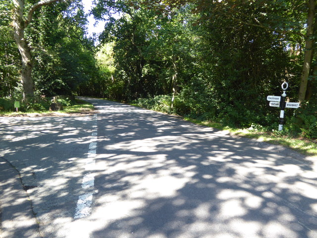
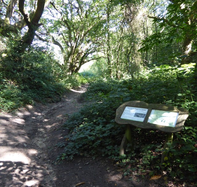
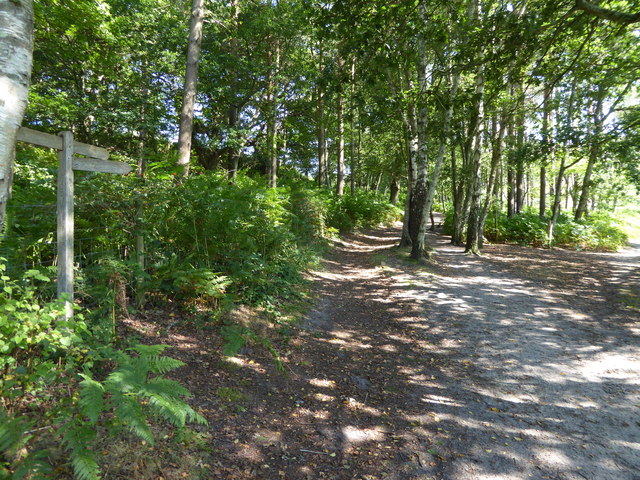
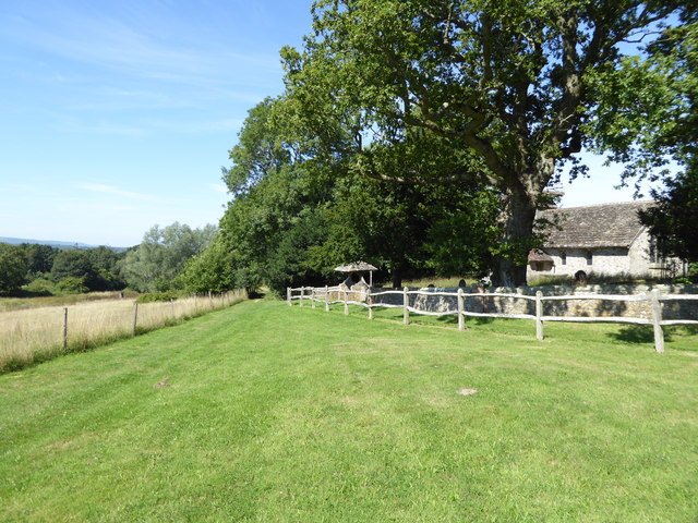
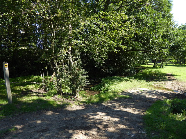
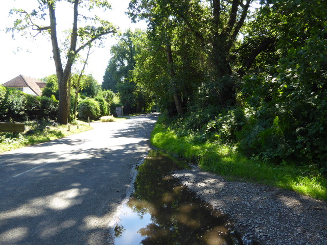
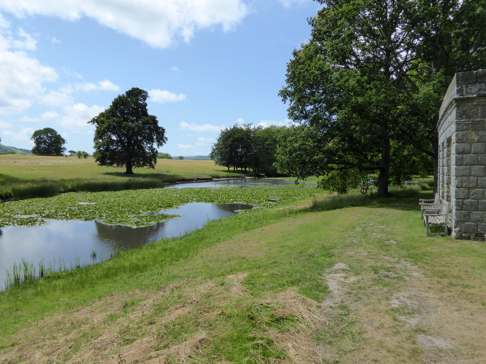
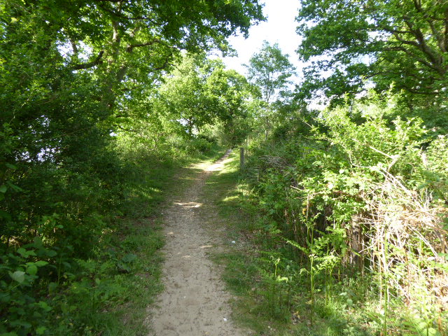
Bog Common, located in Sussex, England, is a magnificent woodland area known for its diverse and dense forest. Spanning over a vast expanse of land, it is a natural haven for various species of flora and fauna. The common is situated on low-lying ground, which contributes to the presence of numerous bogs and marshes, giving the area its distinctive name.
The woodland itself is predominantly composed of deciduous trees such as oak, beech, and birch, creating a rich and vibrant tapestry of colors throughout the year. The towering trees provide ample shade, making it a pleasant spot for nature enthusiasts to explore, especially during the hot summer months.
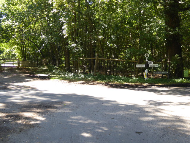
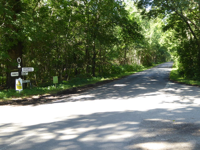
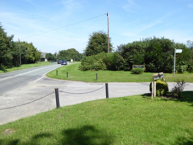
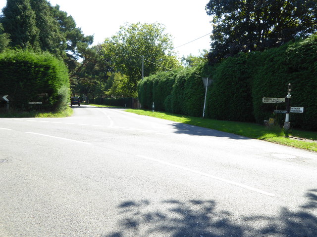
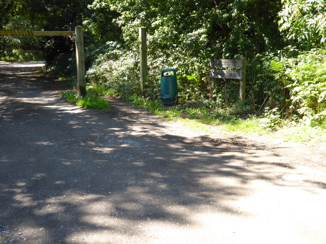
Bog Common offers a variety of walking trails, allowing visitors to immerse themselves in the serene beauty of the forest. These paths wind through the woods, offering glimpses of enchanting flora, including bluebells, wild garlic, and ferns, which thrive in the damp undergrowth.
The common is also home to a diverse range of wildlife. Birdwatchers can spot a plethora of bird species, including woodpeckers, tawny owls, and various songbirds. Additionally, the forest provides a habitat for mammals such as deer, foxes, and badgers, adding to the biodiversity of the area.
Overall, Bog Common is a breathtaking woodland area that offers a tranquil escape from the bustling city life. Its dense forest, picturesque trails, and diverse wildlife make it a popular destination for nature lovers and a valuable conservation area for the county of Sussex.
If you have any feedback on the listing, please let us know in the comments section below.
Bog Common Images
Images are sourced within 2km of 50.929598/-0.48176571 or Grid Reference TQ0615. Thanks to Geograph Open Source API. All images are credited.


Bog Common is located at Grid Ref: TQ0615 (Lat: 50.929598, Lng: -0.48176571)
Administrative County: West Sussex
District: Horsham
Police Authority: Sussex
What 3 Words
///commoners.petal.parked. Near Storrington, West Sussex
Nearby Locations
Related Wikis

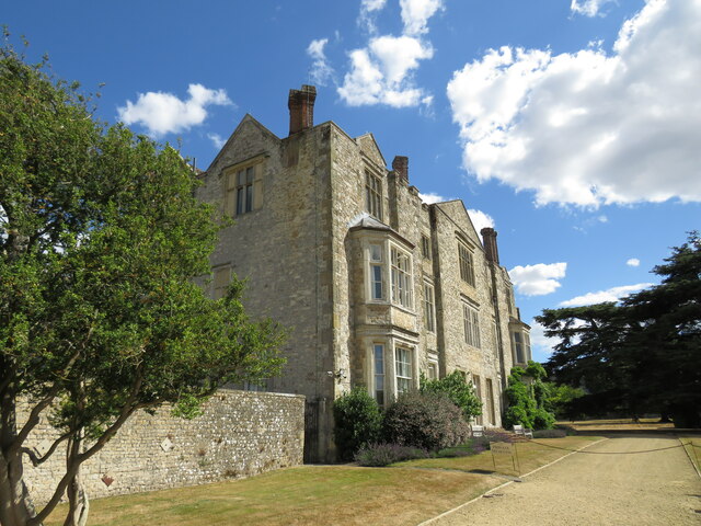
Parham Park
Parham Park is an Elizabethan house and estate in the civil parish of Parham, west of the village of Cootham, and between Storrington and Pulborough, West...
Parham Park SSSI
Parham Park SSSI is a 263.3-hectare (651-acre) biological Site of Special Scientific Interest in the grounds of Parham Park, west of Storrington in West...
Wiggonholt
Wiggonholt is a village and former civil parish, now in the parish of Parham, in the Horsham district of West Sussex, England. It is 1.5 miles (2.4 km...
Cootham
Cootham ( KOHT-əm, KOOT-) is a hamlet in the Horsham District of West Sussex, England. It lies on the A283 road 0.9 miles (1.4 km) west of Storrington...
Parham, West Sussex
Parham is a civil parish in the Horsham District of West Sussex, England. There was a village of Parham, around the parish church, but its few houses were...
Hurston Warren
Hurston Warren is a 69.1-hectare (171-acre) biological Site of Special Scientific Interest south-east of Pulborough in West Sussex.This site has a variety...

Storrington F.C.
Storrington Football Club is a football club based in Storrington, near Horsham, West Sussex, England. Storrington FCwere 1st formed in 1882, where they...

Arundel and South Downs (UK Parliament constituency)
Arundel and South Downs () is a constituency in West Sussex created in 1997 and represented in the House of Commons of the UK Parliament since 2019 by...
Nearby Amenities
Located within 500m of 50.929598,-0.48176571Have you been to Bog Common?
Leave your review of Bog Common below (or comments, questions and feedback).